TrailTrack route Hiking Oshskaya Oblast One-day Waiting for the first trip report

Pass 3571m

Distance
8.3 km
Time
3 h 33 min
Elevation gain
668 m
Difficulty
Easy

Description

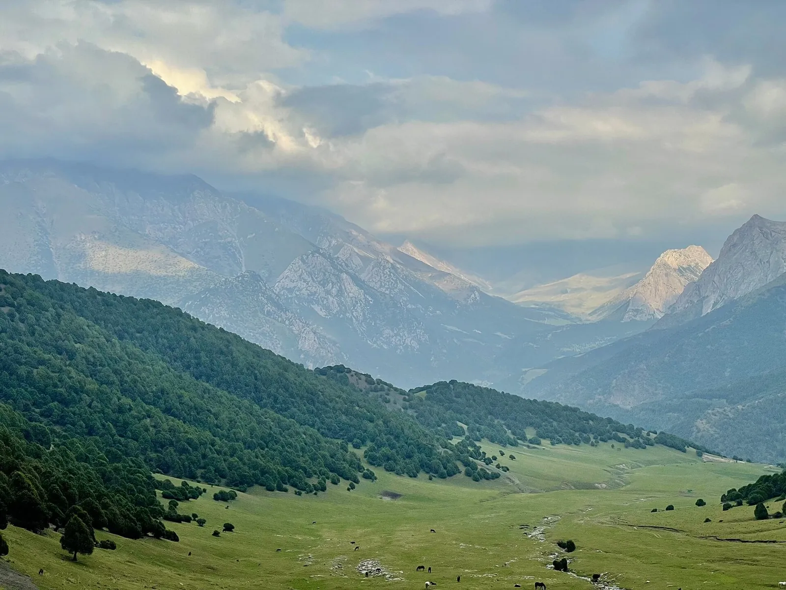
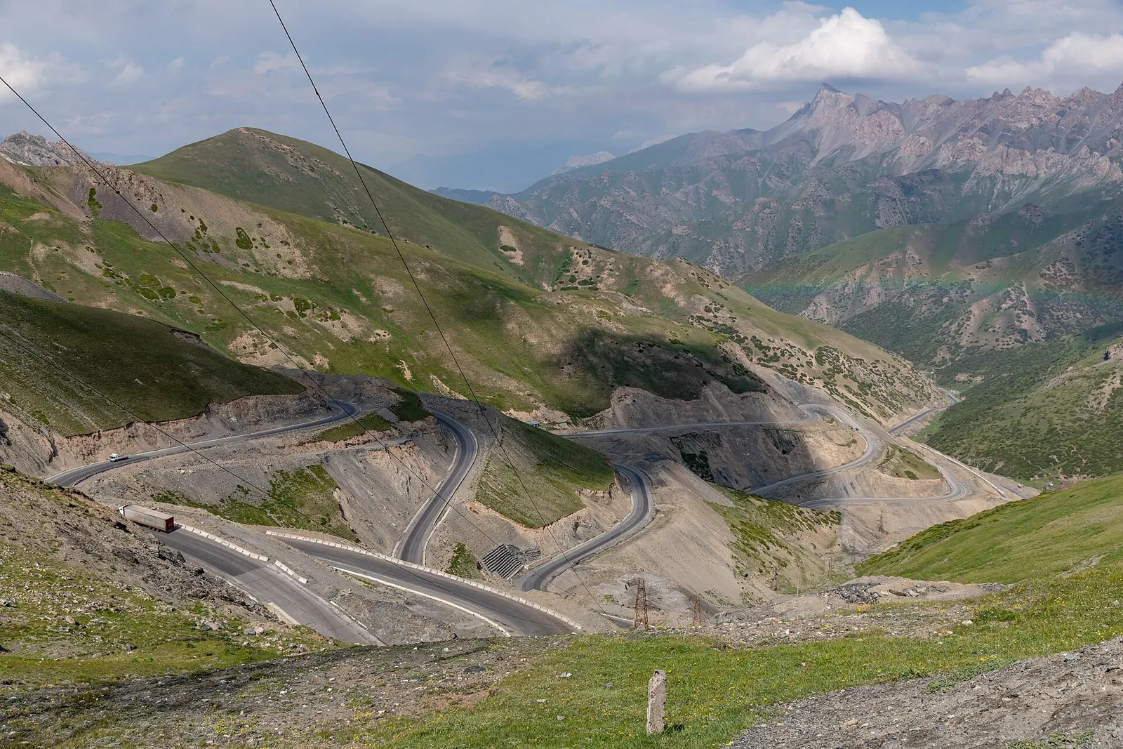
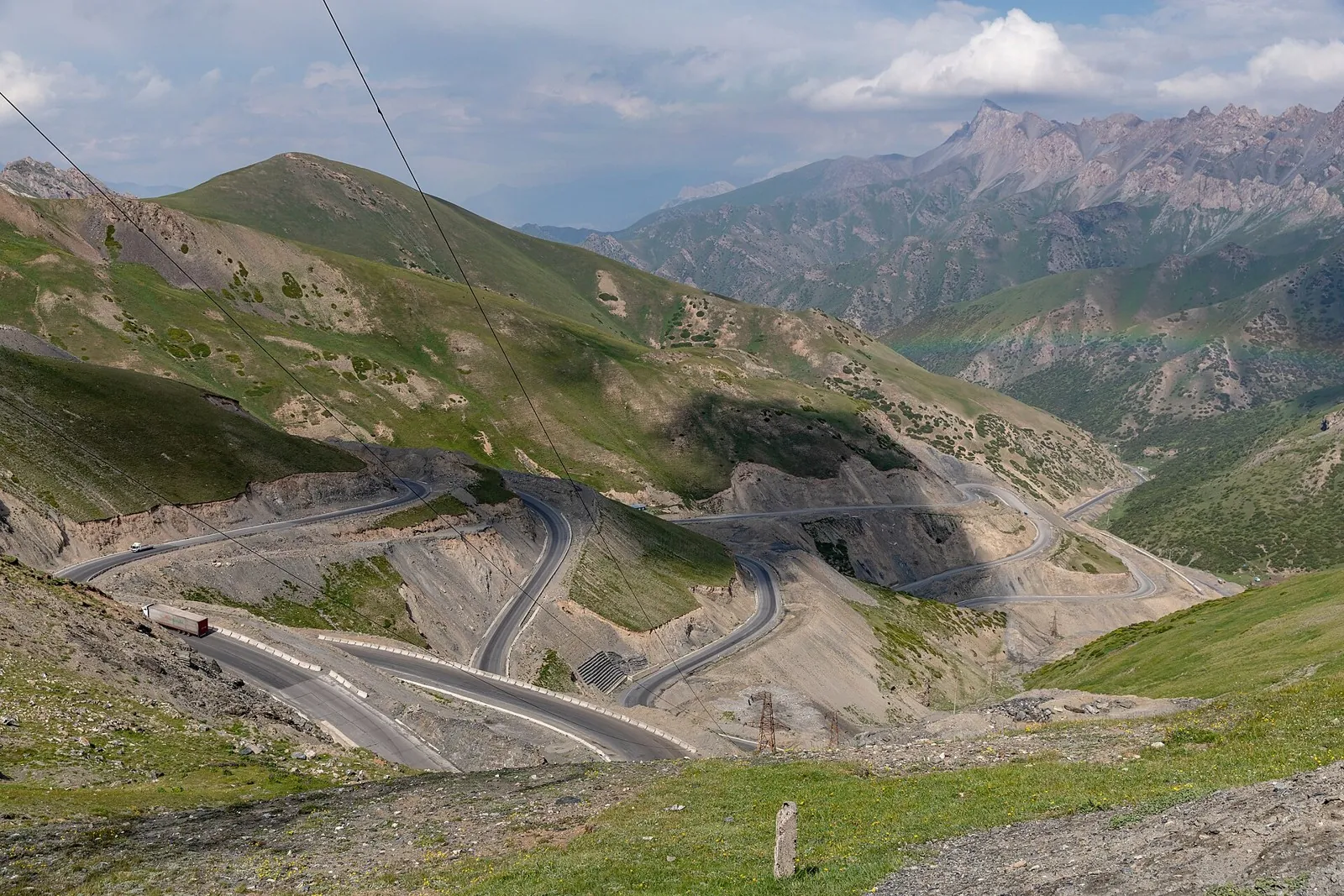
This is a point-to-point hiking route of about 8.3 km. The clearest starting reference is Üch-Chat. Use Üch-Chat as the starting reference and Üch-Chat as the finishing reference; plan the return in advance. Features worth noticing include the nearest pass (mountain pass, directly beside the route); Ak-Tör Pass (mountain pass, about 1.4 km away); Kosh-Bel Pass (mountain pass, 3575 m, about 1.8 km away). The route itself has no recorded elevations, but nearby named features rise to about 3575 m. This matters for weather and acclimatisation. Original material: OpenStreetMap — https://www.openstreetmap.org/relation/19851257.

Route map

Open full map

Elevation profile

gentle climb steep

There is no elevation data in the track for the chart.

Встроить маршрут на сайт

Выберите формат виджета и вставьте код на свой сайт. Карта использует тайлы TrailTrack и сохраняет ссылки на источники данных.

Вид виджета
Preview

Share

Sign in to send a link in a private message.