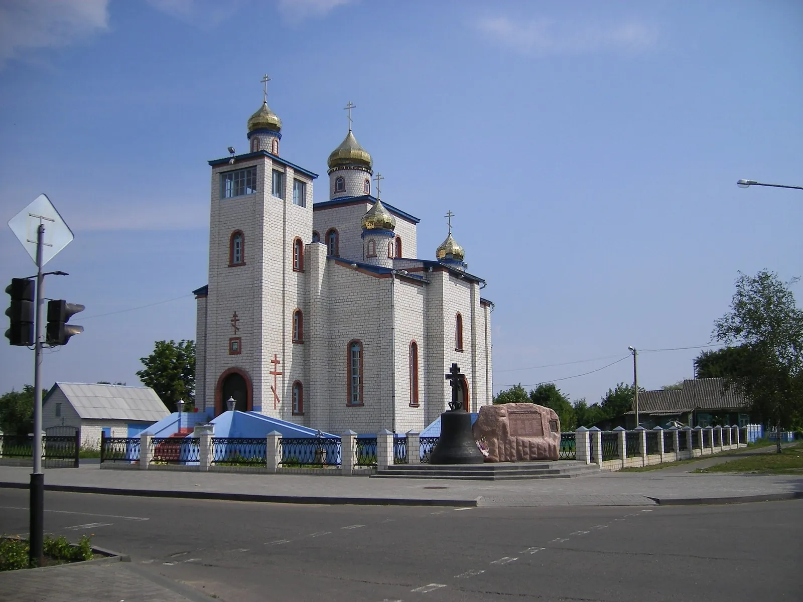



Rivers North of Gomel: Vetka, Svetilovichi and the Southern Road by Chechersk
- Distance
- 205.2 km
- Time
- 18 h 52 min
- Elevation gain
- —
- Difficulty
- Hard




 Open on map
 Download route
Route description

Route status
Проверяем свежесть данных по треку и учитываем сообщения сообщества
Запретов на посещение и пожаров рядом нет
Проверяем спутниковые данные о пожарах и предупреждения по региону.
Подробнее о состоянии маршрута No recent trail condition reports


The description, logistics and points of interest were prepared using maps and open sources. Trail conditions may change.
Route data was imported from GPX and has not been field-verified.

Before travelling, check trail access, restrictions and the weather forecast.

Conditions may have changed. Share a report after completing the route.

Recent completions
Be the first to confirm a completion and help other travellers.
Elevation profile
There is no elevation data in the track for the chart.
 Surface
Asphalt 91% · Compacted dirt 4% · Improved surface 1%
Surface is defined for 96% of the route.
Before you go
Всё важное о маршруте
 Route at a glance
Главное за минуту
- Length
- 205.2 km
- Elevation gain
- —
- Surface
- Asphalt 91%




 Route suitability
Кому будет комфортно
 Without a car
Yes
Without a car
Yes
 With children
No
With children
No
 With a dog
No
With a dog
No
 By bike
Partially
By bike
Partially
 With a stroller
No
With a stroller
No
 Mobile signal
Не проверено
Mobile signal
Не проверено
 Nearby
Getting there
Варианты и важные моменты
 Show on map

 Without a car
 By car
 Parking
Электрички туда и обратно
Расписание на дату и время, до которого нужно выйти на маршрут
 What to expect
Places


 Difficult sections and safety
На что обратить внимание
Elevation gainДанные по набору высоты уточняются.
SurfaceAsphalt 91%, Compacted dirt 4%, Improved surface 1%.
 Риски
The sustained road journey requires endurance and experience riding near motor traffic. Prepare particularly carefully for the final M5 section and junctions on the return to Gomel. Current lawful bicycle passage along the entire line has not been confirmed: check signs and available connections beforehand, and revise the stage if no safe permitted route is available.
Near Naspa, a service-area detour has restricted access. Arrange permission or omit it after confirming a permitted continuation. A short side excursion near Svetilovichi should not be treated as a verified shop or water supply. Stop clear of the carriageway at river crossings, and cross railway lines only at designated crossings.
Риски
The sustained road journey requires endurance and experience riding near motor traffic. Prepare particularly carefully for the final M5 section and junctions on the return to Gomel. Current lawful bicycle passage along the entire line has not been confirmed: check signs and available connections beforehand, and revise the stage if no safe permitted route is available.
Near Naspa, a service-area detour has restricted access. Arrange permission or omit it after confirming a permitted continuation. A short side excursion near Svetilovichi should not be treated as a verified shop or water supply. Stop clear of the carriageway at river crossings, and cross railway lines only at designated crossings.
 How much time to allow
Оцените свой темп
 Расчётное время в пути
18 h 52 min
Расчётное время в пути
18 h 52 min
 С запасом на остановки
+ 30–60 мин
С запасом на остановки
+ 30–60 мин
 Allow a very long cycling day with good fitness, an early start and short stops. For relaxed visits to Vetka’s museum and Buda-Koshelevo’s gallery, split the journey and arrange accommodation beforehand. An exact duration has not been verified; leave time for weather, permitted diversions and the connection between the different city endpoints.
 Best time to go
Сезонность и рекомендации



 What to bring
Базовый список для комфортного похода




FAQ
Questions before the trip
Can I do this route without a car?
The start is near Pugacheva Street Bus Stop in Gomel, followed by a separate approach to the fuel station. After finishing, Renault Centre Bus Stop or Tekstilnaya Street Bus Stop may serve as references, each requiring an additional walk. Check services and bicycle carriage in advance. Start and finish are in different city districts
Is this route suitable for children?
Do not treat this as a basic child-friendly route: check difficulty, length, and trail conditions before going.
Can I download GPX and KML?
Yes, GPX and KML are available on the route page. Open the map, download the file, and use it in a navigator before your trip; key route facts: 205.2 km, hard.
Route photos
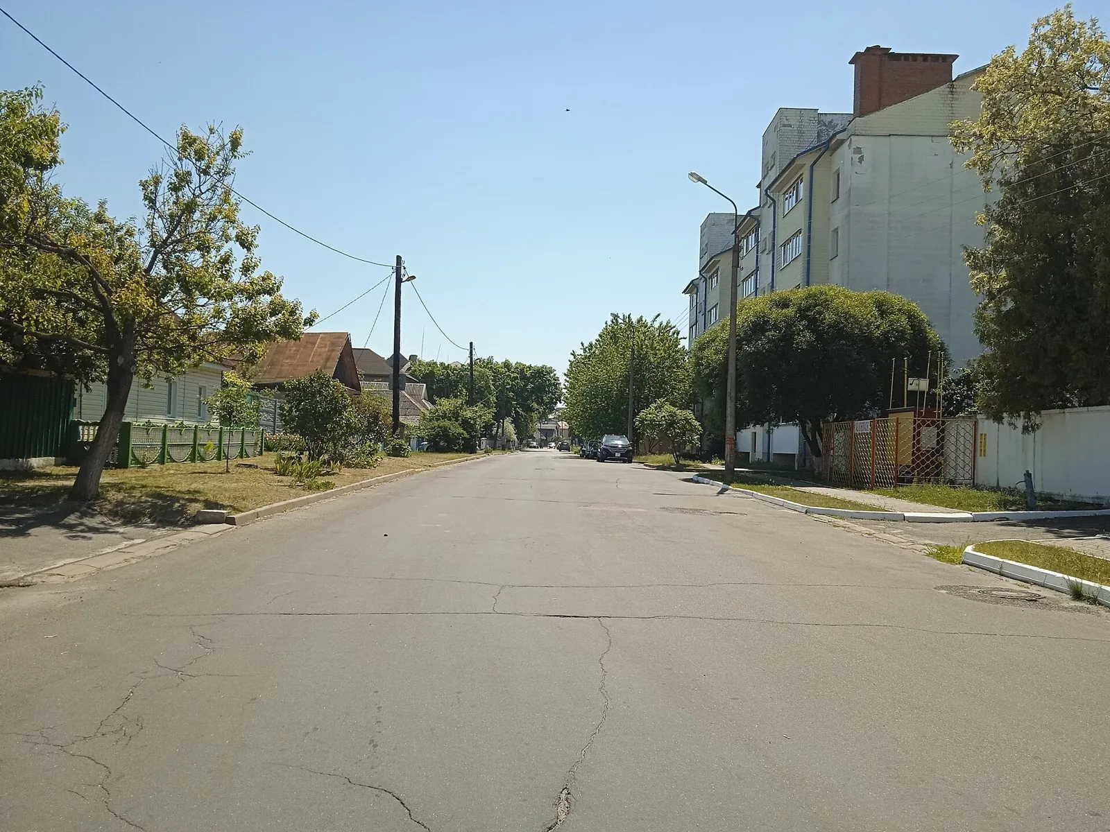
4 photos
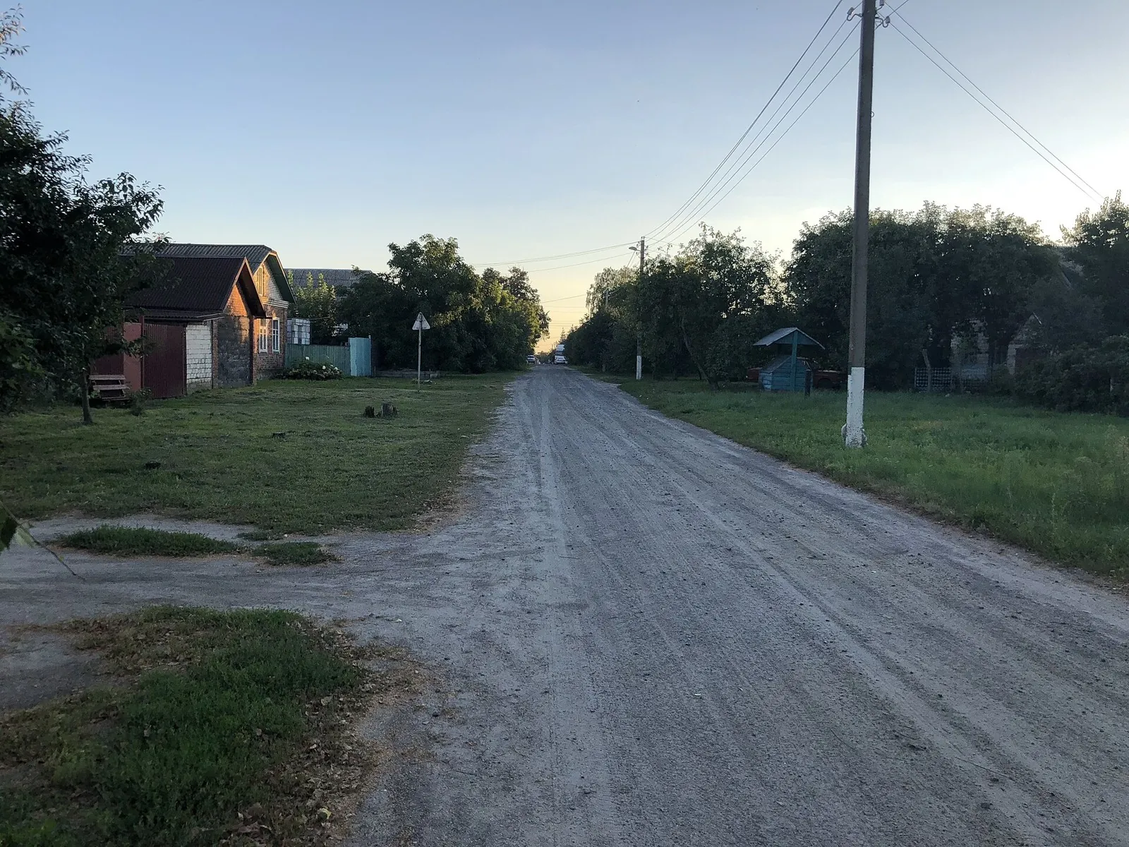
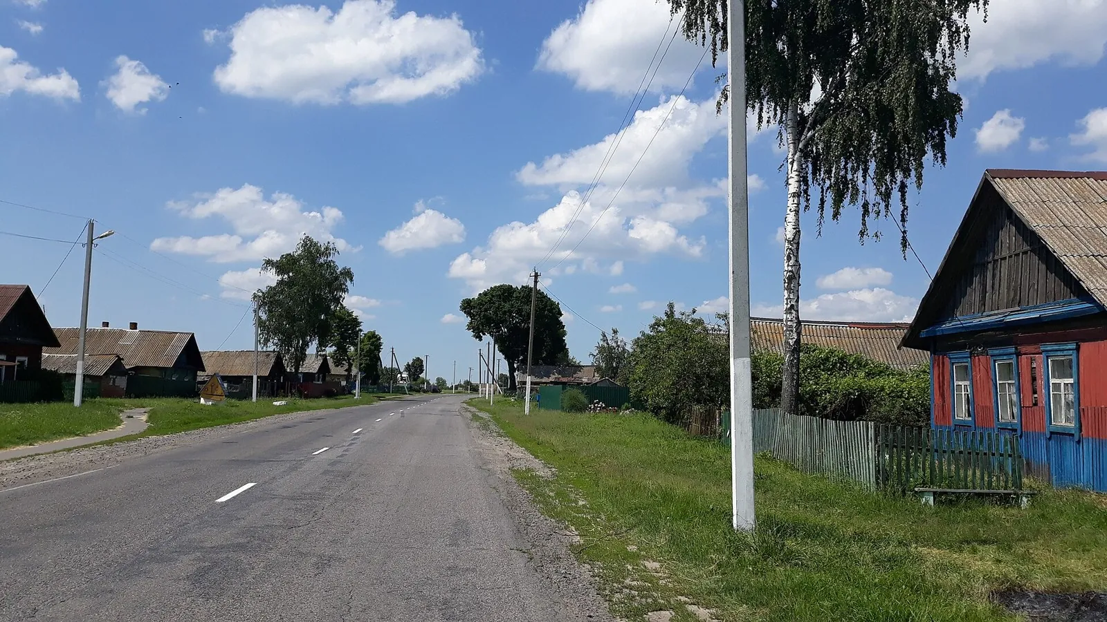
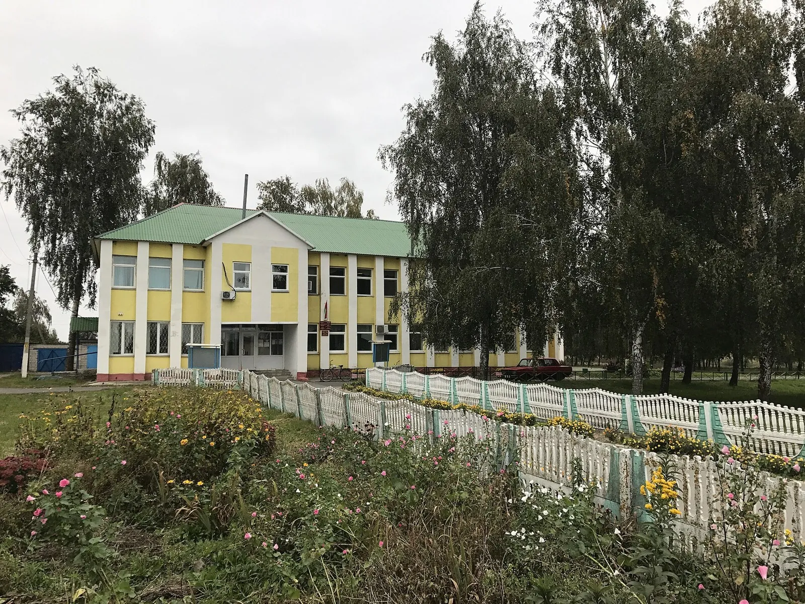
Photo authors and sources
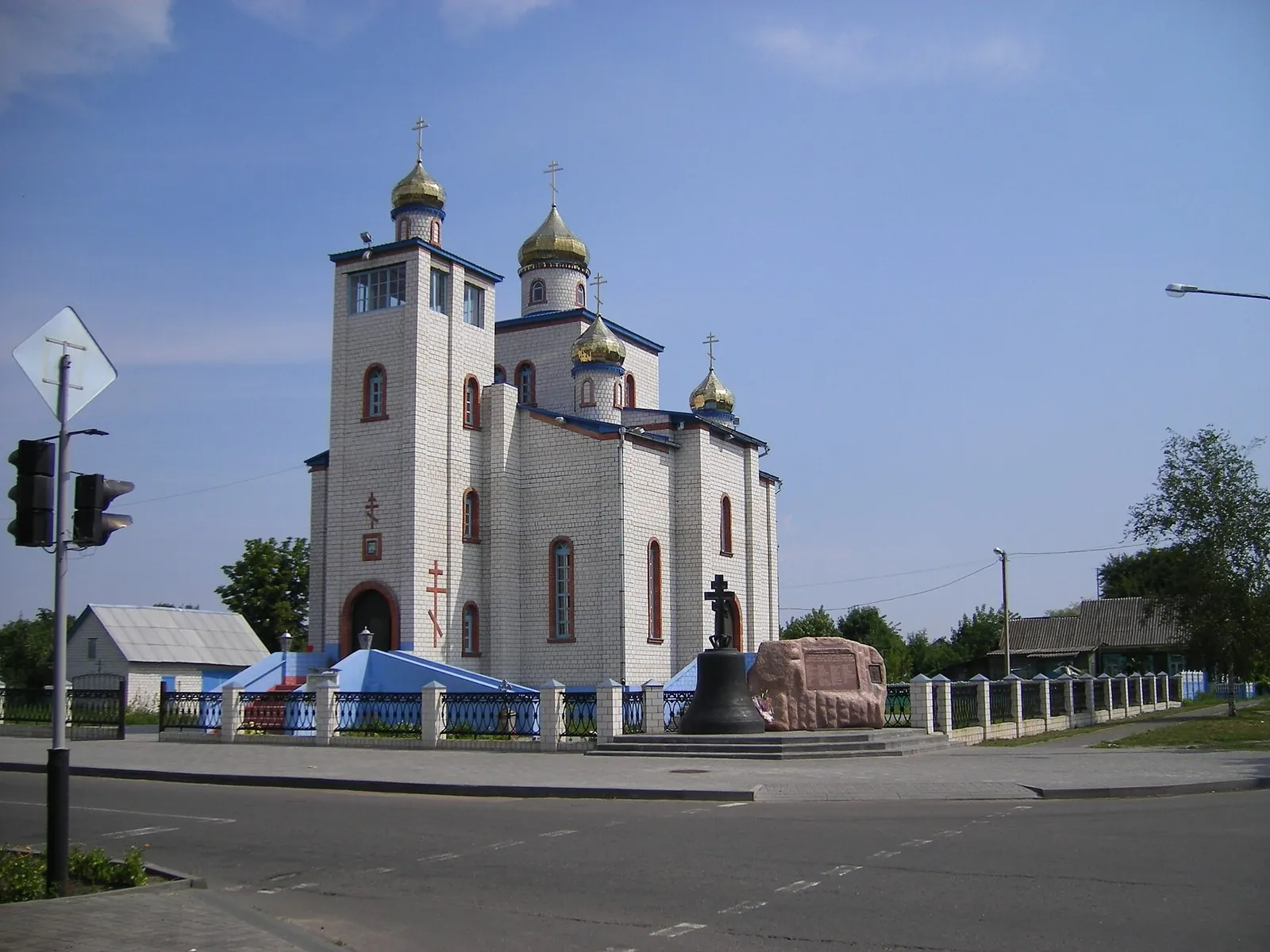
-
Route photo 1
Szeder LászlóOriginal source
Converted to WebP, maximum 1800×1200 px, no crop.
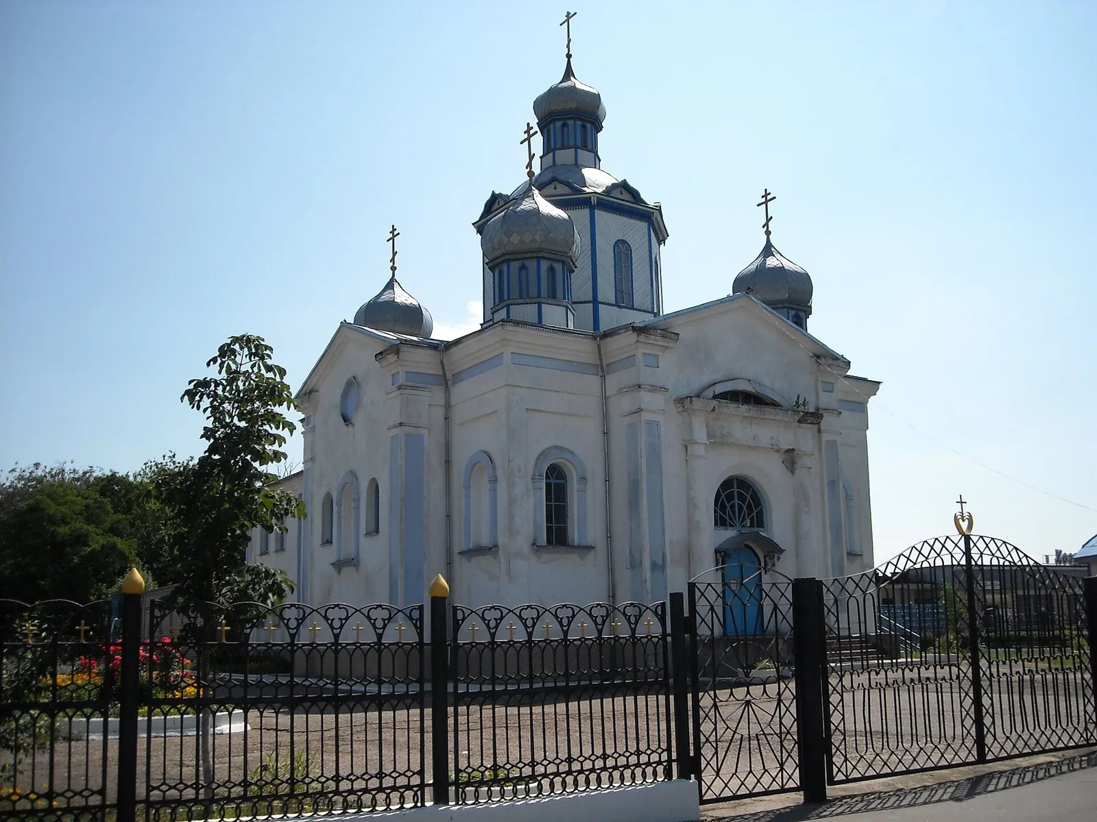
-
Route photo 2
BsivkoOriginal source
Converted to WebP, maximum 1800×1200 px, no crop.
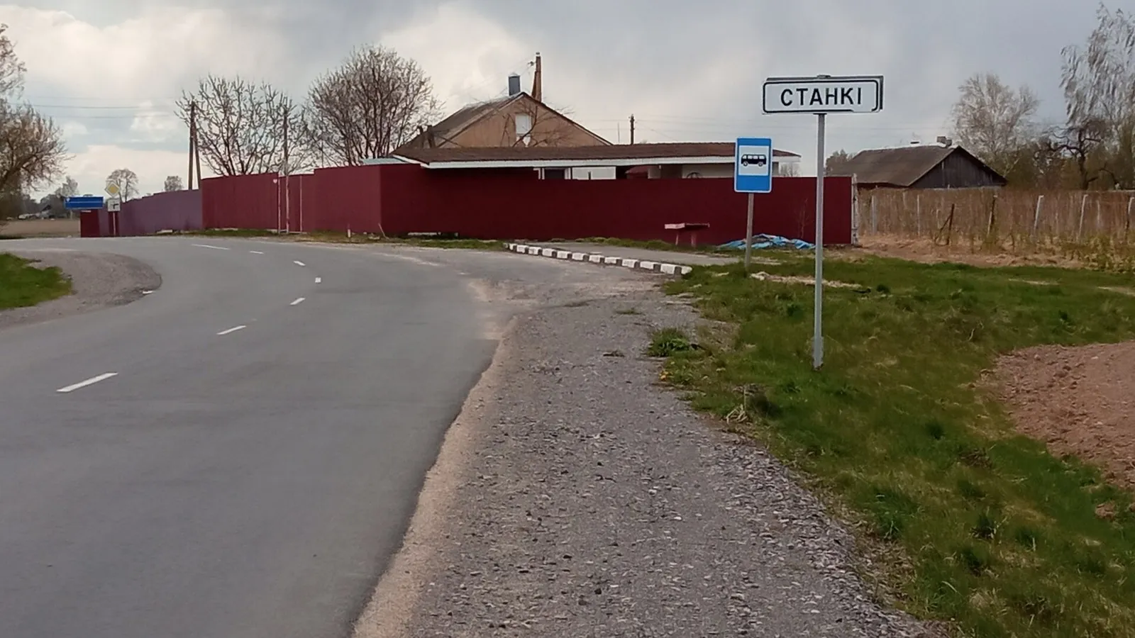
-
Route photo 3
Zelyoniy.antonOriginal source
Converted to WebP, maximum 1800×1200 px, no crop.
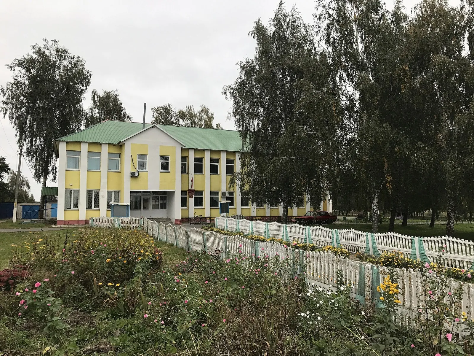
-
Route photo 4
MisterXSOriginal source
Converted to WebP, maximum 1800×1200 px, no crop.
-
Route photo 5
KiryienkaOriginal source
Converted to WebP, maximum 1800×1200 px, no crop.
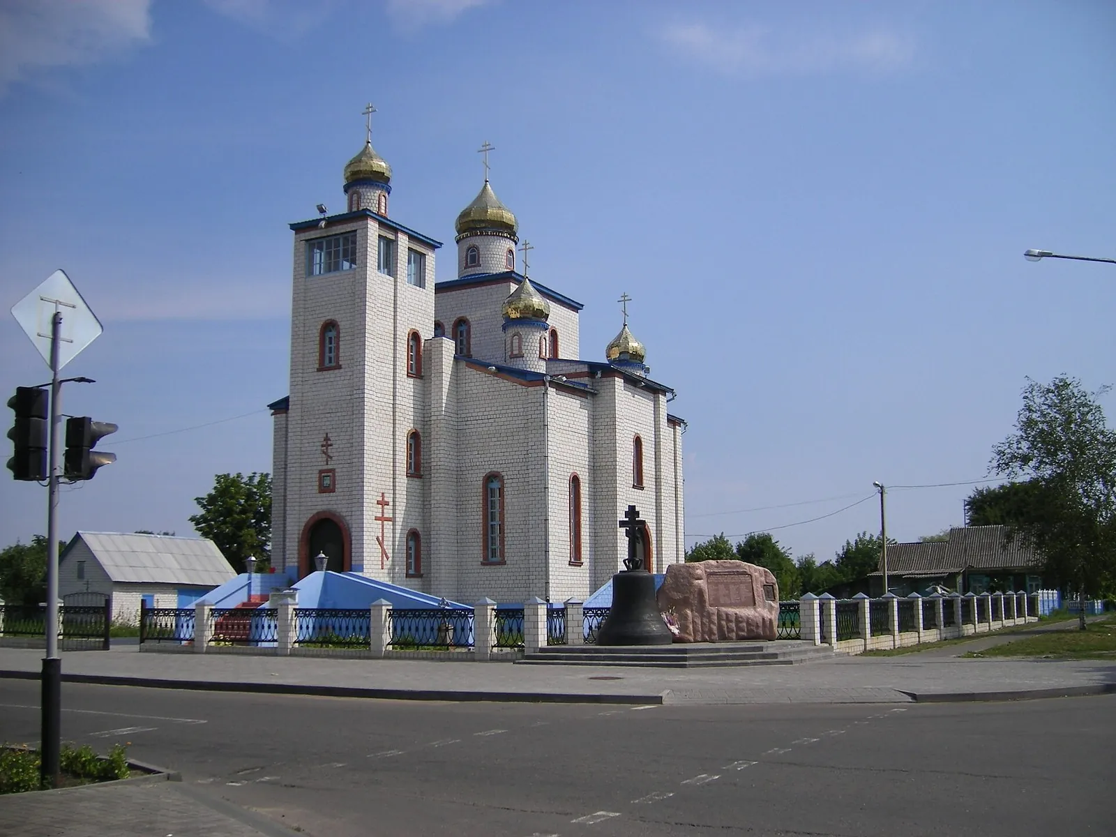
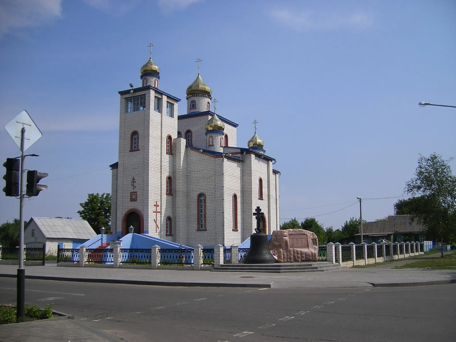
Discussion
Comments 0
Log in to read the discussion and leave comments.
Ask about the route or its surface, or share your experience.