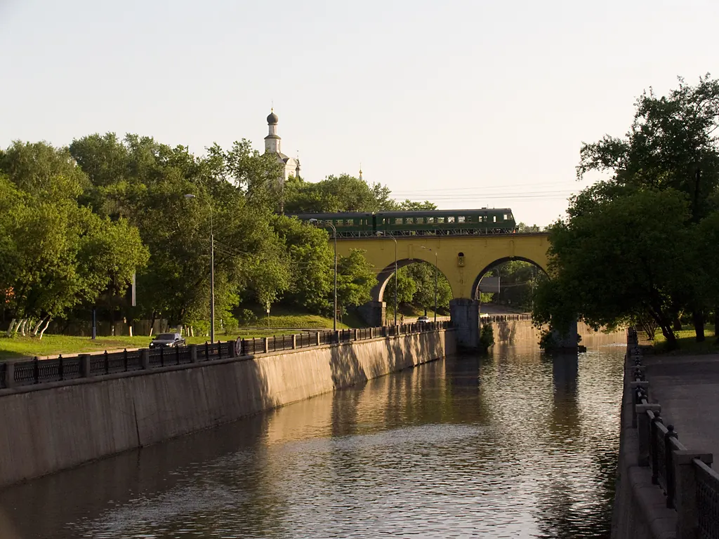

Yauza River Route: A Long Walk through Moscow
A scenic route in Moscow and the north-east of Moscow Region where access, distance and terrain can be planned in advance without losing the feeling of a real walk.

- Distance
- 107.8 km
- Time
- 11 h 28 min
- Elevation gain
- 878 m
- Difficulty
- Hard
- Route type
- Multi-day
- Category
- Bicycle





 Route at a glance
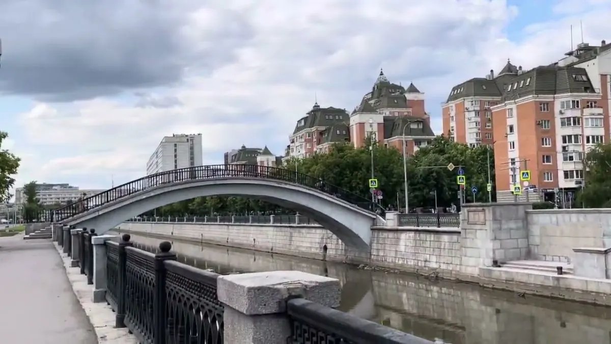
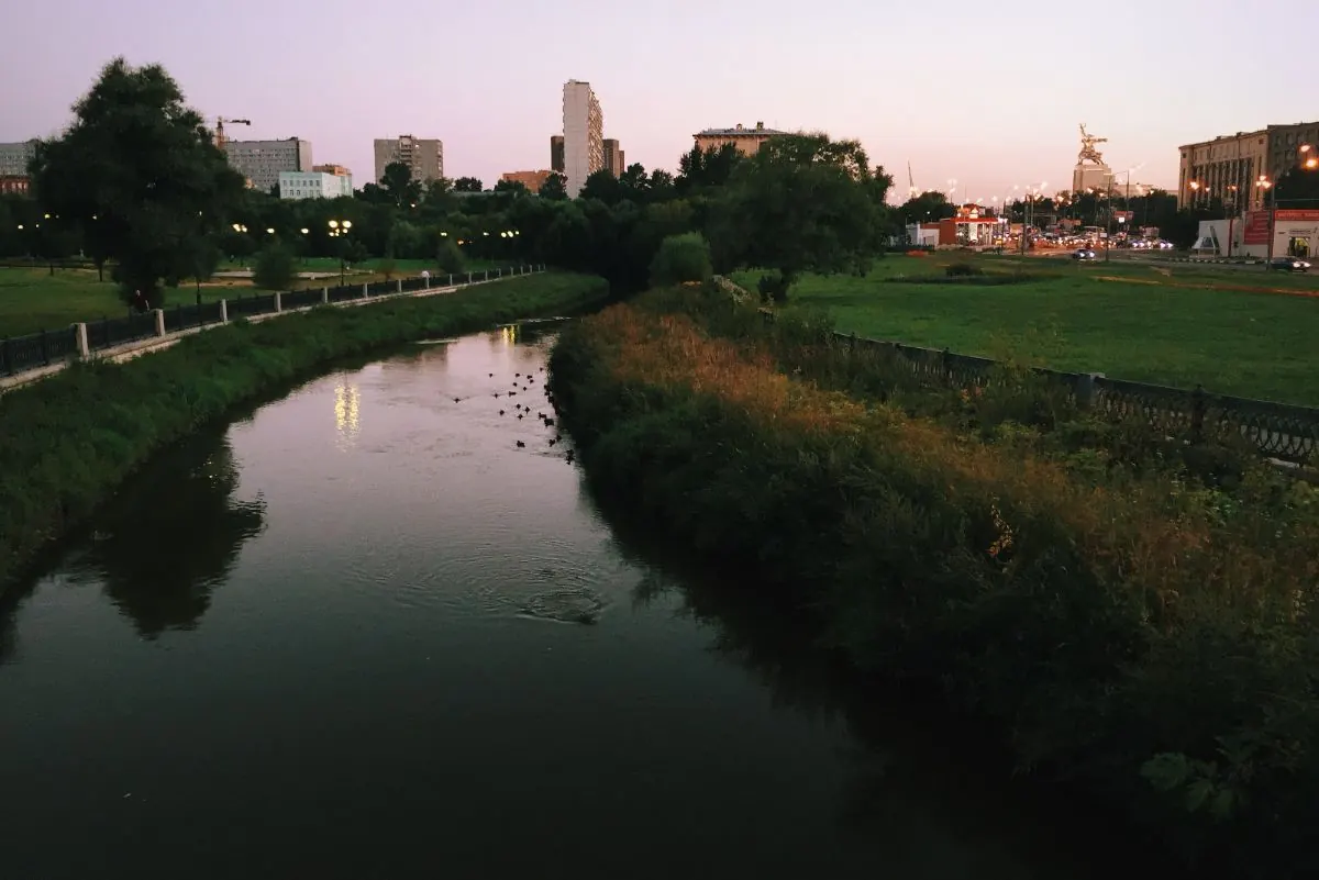
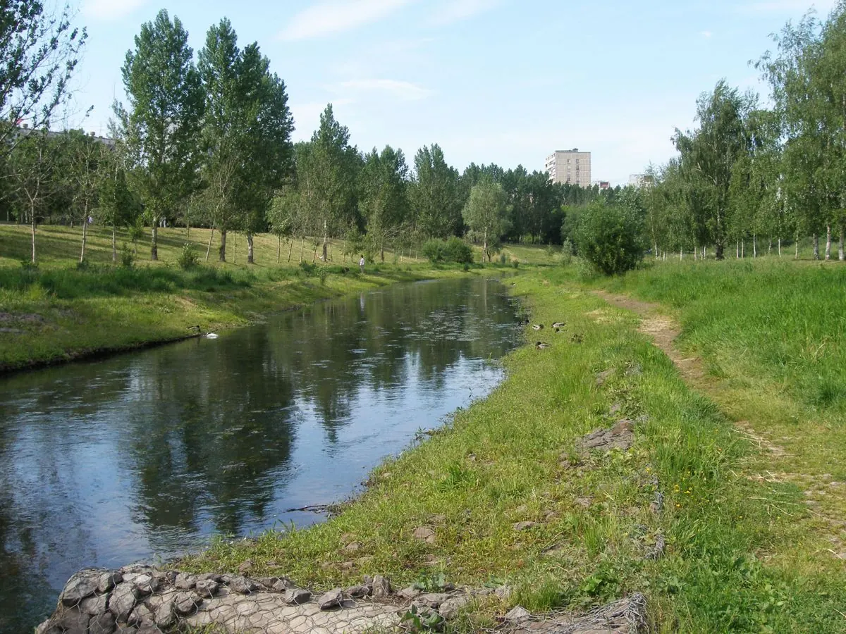
At about 107.8 km, this is not just a viewpoint stop but a complete route through Moscow and the north-east of Moscow Region. Expect urban paths, river embankments, parks, forest sections and historic towns; the relief is gentle, with elevations staying roughly between 122 and 171 m.
It can be walked as one continuous journey or split into separate sections, depending on fitness, daylight and available transport.
 Route suitability
Without a car
Да
With children
Нет
With a dog
С осторожностью
By bike
Нет
With a stroller
Нет
Signal
Местами
Information status
Page status
Проверенный маршрут
When checked
Not specified
How it was checked
По данным трека
Editorial review
Reviewed by editors
 Getting there
 Without a car
Use the Moscow Metro, MCC and suburban rail stops along the Yauza corridor. Practical access points include VDNKh, Botanichesky Sad, Rostokino, Belokamennaya and other stations close to the river and park sections.
 By car
Choose a specific section of the Yauza valley and park near an official city parking area, a park entrance or a metro station. A linear end-to-end walk is easier with public transport.
 Parking
Use city paid parking and parking near parks or stations. Do not plan on leaving a car directly on embankments or inside green zones.
What to expect
A Long Walk through Moscow
Moscow
Losiny Ostrov
Sergiev Posad
urban paths
Difficult sections and safety
Pay attention to junctions, wet surfaces and the return plan near Moscow. Some signs may be missing, so an offline map is useful.
How much time to allow
One long stage
7-10 h
Full route
several days
Cycling option
only for prepared riders
Best time to go
May to October is usually the easiest season for Moscow
After rain, forest roads and shore paths can be muddy
In winter, allow more time and dress for wind and cold
What to bring
comfortable broken-in shoes
water and snacks
windbreaker or rain jacket
charged phone
offline map
small first-aid kit
power bank
cash and documents
overnight gear if needed
Route markers
0
Elevation profile
There is no elevation data in the track for the chart.
Route photos
7 photos
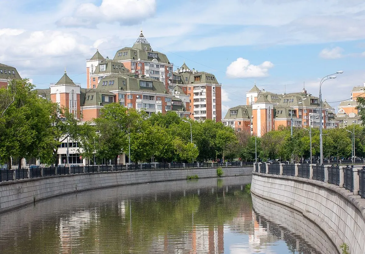
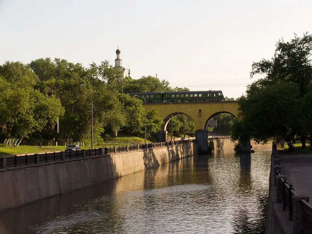
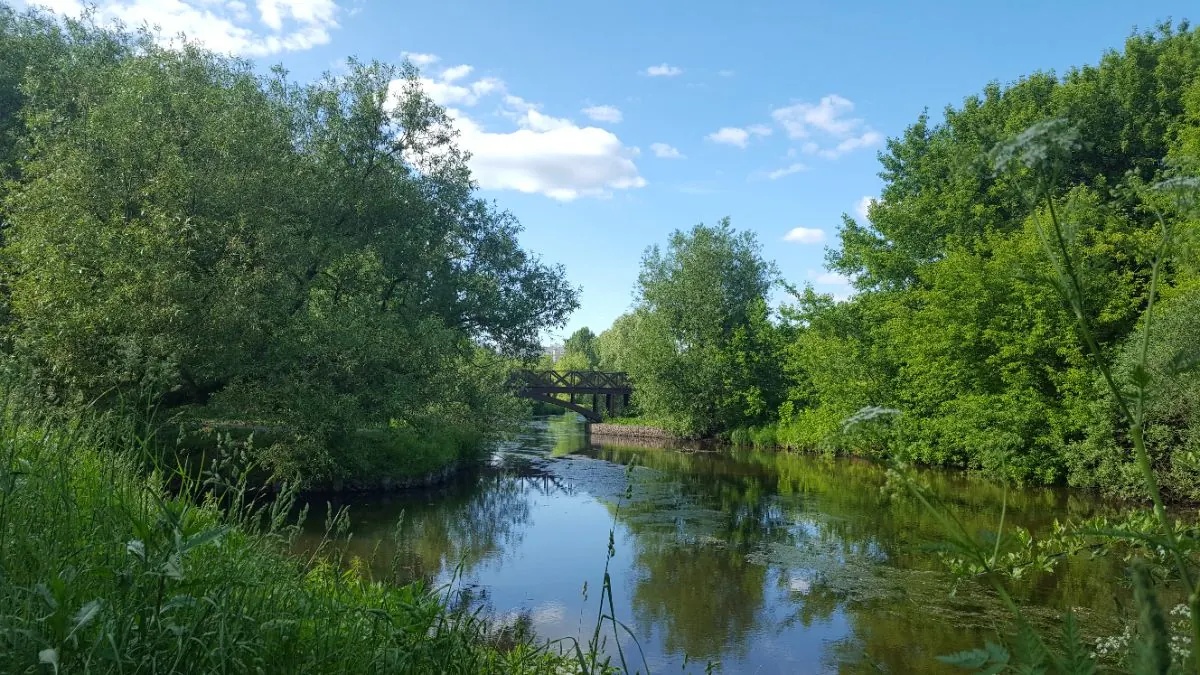
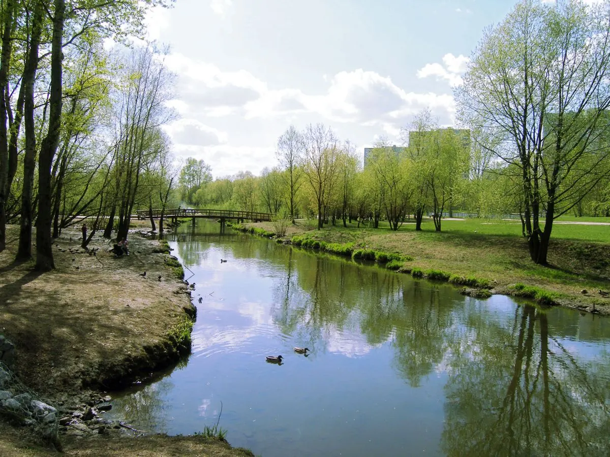
FAQ
Questions before the trip
Can I do this route without a car?
Use the Moscow Metro, MCC and suburban rail stops along the Yauza corridor. Practical access points include VDNKh, Botanichesky Sad, Rostokino, Belokamennaya and other stations close to the river and park sections
Is this route suitable for children?
Do not treat this as a basic child-friendly route: check difficulty, length, and trail conditions before going.
Can I download GPX and KML?
Yes, GPX and KML are available on the route page. Open the map, download the file, and use it in a navigator before your trip; key route facts: 107.8 km, hard.

Обсуждение
Комментарии 0
Войдите, чтобы читать обсуждение и оставлять комментарии.
Можно задать вопрос о маршруте, покрытии или поделиться своим опытом.