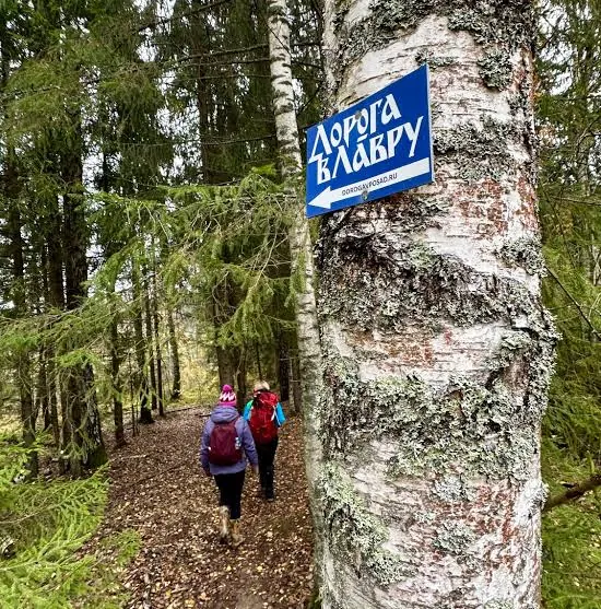

Road to the Lavra: Walking Route from the Kremlin to Sergiev Posad
A practical route for discovering Moscow and the north-east of Moscow Region: about 155.6 km, recognisable landmarks and a landscape that changes gradually along the way.

- Distance
- 120.0 km
- Time
- 1 d 15 h
- Elevation gain
- —
- Difficulty
- Moderate
- Route type
- Multi-day
- Category
- Hiking






 Route at a glance
 Route suitability
Without a car
Yes
With children
No
With a dog
With caution
By bike
No
With a stroller
No
Signal
Patchy
Information status
 Getting there
 Without a car
 By car
 Parking
What to expect
Walking Route from the Kremlin to Sergiev Posad
Moscow
Losiny Ostrov
Sergiev Posad
urban paths
Difficult sections and safety
How much time to allow
One long stage
7-10 h
Full route
several days
Cycling option
only for prepared riders
Best time to go
May to October is usually the easiest season for Moscow
After rain, forest roads and shore paths can be muddy
In winter, allow more time and dress for wind and cold
What to bring
comfortable broken-in shoes
water and snacks
windbreaker or rain jacket
charged phone
offline map
small first-aid kit
power bank
cash and documents
overnight gear if needed
Elevation profile
There is no elevation data in the track for the chart.
 Surface
Dirt 33% · Asphalt 30% · Dirt / grass 13%
Surface is defined for 75.3 km of 120.0 km.
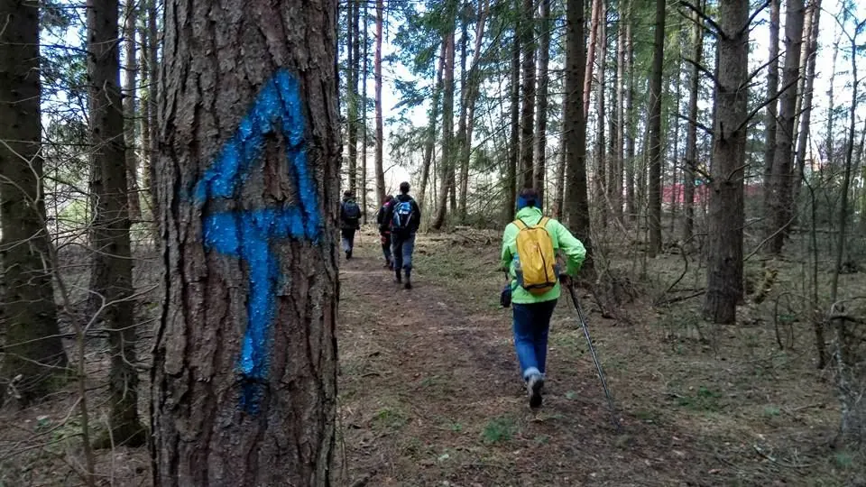
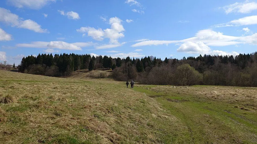
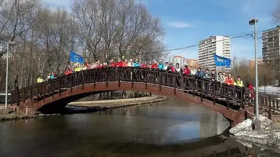
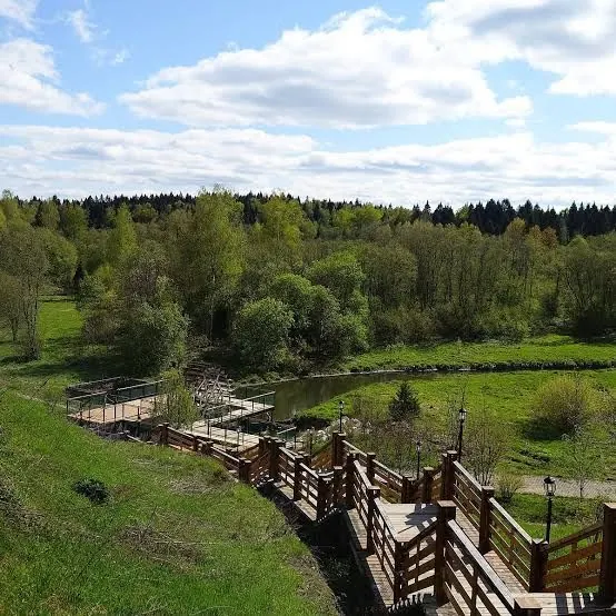
Route photos
5 photos
FAQ
Questions before the trip
Can I do this route without a car?
Start in central Moscow near the Kremlin, Okhotny Ryad, Teatralnaya or Ploshchad Revolyutsii metro stations. The finish is Sergiev Posad, with return trains to Moscow from Sergiev Posad railway station
Is this route suitable for children?
Do not treat this as a basic child-friendly route: check difficulty, length, and trail conditions before going.
Can I download GPX and KML?
Yes, GPX and KML are available on the route page. Open the map, download the file, and use it in a navigator before your trip; key route facts: 120.0 km, moderate.

Обсуждение
Комментарии 0
Войдите, чтобы читать обсуждение и оставлять комментарии.
Можно задать вопрос о маршруте, покрытии или поделиться своим опытом.