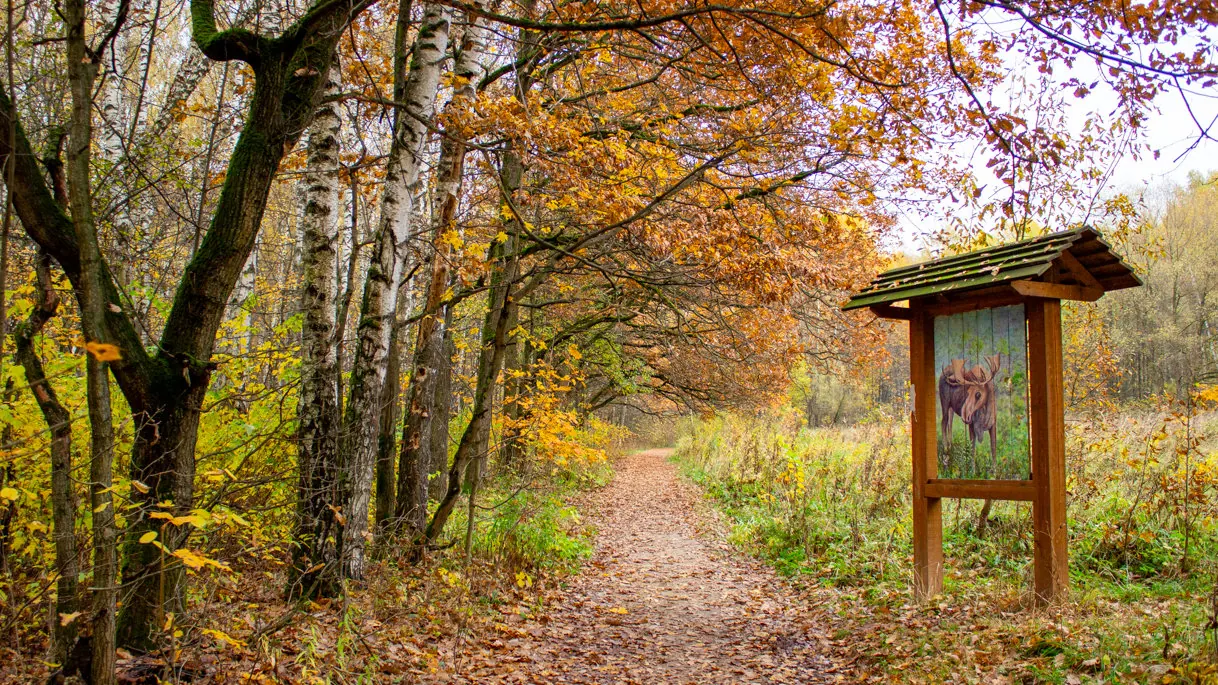

Vyatichi Eco Trail in Losiny Ostrov
A short outing of about 1.7 km through Moscow and the north-east of Moscow Region, with the main interest in urban paths, river embankments, parks, forest sections and historic towns.

- Distance
- 1.7 km
- Time
- 42 min
- Elevation gain
- 12 m
- Difficulty
- Moderate
- Route type
- One-day
- Category
- Hiking






 Route at a glance
The route is a linear itinerary of about 1.7 km in Moscow and the north-east of Moscow Region. The relief is gentle, with elevations staying roughly between 155 and 170 m. The main reference points are Moscow, Losiny Ostrov, Sergiev Posad, which help with orientation at the start, along the route and near the finish.
The short distance leaves time for slow walking, viewpoints and photos, but footwear and weather still matter after rain or snow.
 Route suitability
Without a car
Yes
With children
Yes
With a dog
With caution
By bike
Partially
With a stroller
No
Signal
Good
Information status
Page status
Проверенный маршрут
When checked
Not specified
How it was checked
По данным трека
Editorial review
Reviewed by editors
 Getting there
 Without a car
For Losiny Ostrov, use Belokamennaya MCC, Bulvar Rokossovskogo, VDNKh or nearby city buses, then walk to the eco-trail entrance.
 By car
Drive to one of the official entrances of Losiny Ostrov National Park from the Moscow side and continue on foot.
 Parking
Use official parking near park entrances and nearby streets where parking is allowed. Inside the park, motor access is restricted.
What to expect
Vyatichi Eco Trail in Losiny Ostrov
Moscow
Losiny Ostrov
Sergiev Posad
urban paths
Difficult sections and safety
Pay attention to junctions, wet surfaces and the return plan near Moscow. Some signs may be missing, so an offline map is useful.
How much time to allow
Short walk
1-2 h
With stops and photos
2-3 h
Best time to go
May to October is usually the easiest season for Moscow
After rain, forest roads and shore paths can be muddy
In winter, allow more time and dress for wind and cold
What to bring
comfortable broken-in shoes
water and snacks
windbreaker or rain jacket
charged phone
offline map
small first-aid kit
Route markers
0
Elevation profile
There is no elevation data in the track for the chart.
 Surface
Gravel 38% · Asphalt 30% · Compacted dirt 20%
Surface is defined for 0.92 km of 1.73 km.
Gravel
38% · 0.35 km
Asphalt
30% · 0.27 km
Compacted dirt
20% · 0.19 km
Dirt
12% · 0.11 km
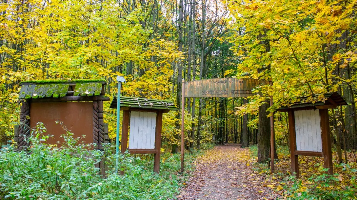
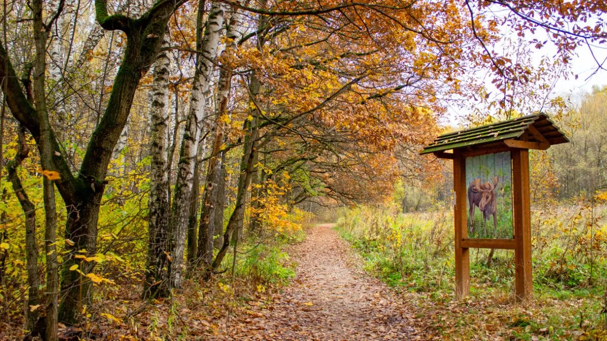
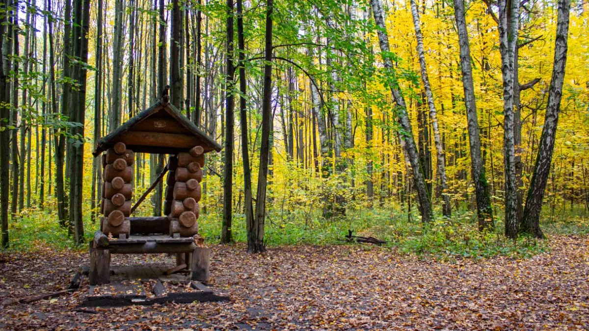
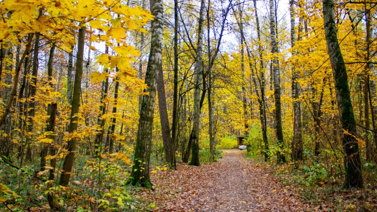
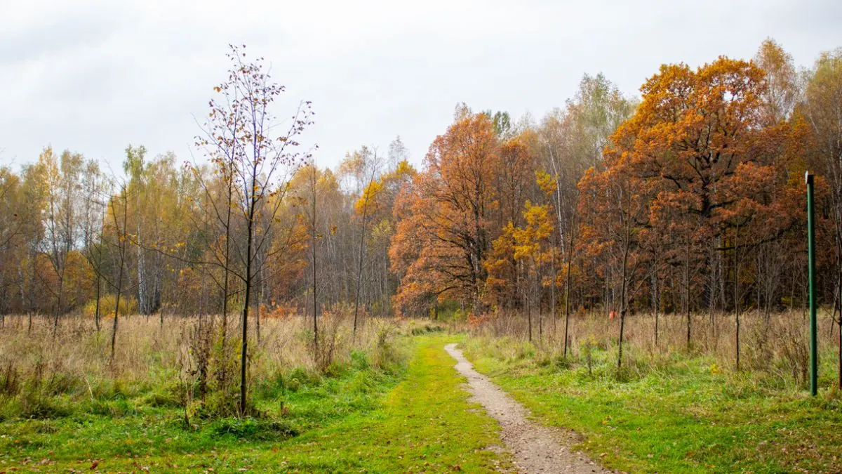
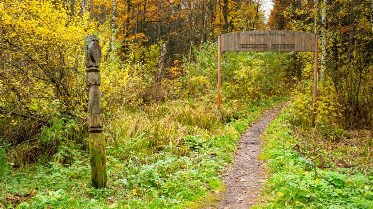
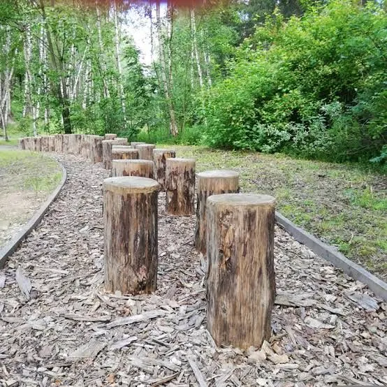
Route photos
7 photos
FAQ
Questions before the trip
Can I do this route without a car?
For Losiny Ostrov, use Belokamennaya MCC, Bulvar Rokossovskogo, VDNKh or nearby city buses, then walk to the eco-trail entrance
Is this route suitable for children?
Yes, the route can work for a calm walk with children. Consider weather, surface, and the group pace.
Can I download GPX and KML?
Yes, GPX and KML are available on the route page. Open the map, download the file, and use it in a navigator before your trip; key route facts: 1.7 km, moderate.

Обсуждение
Комментарии 0
Войдите, чтобы читать обсуждение и оставлять комментарии.
Можно задать вопрос о маршруте, покрытии или поделиться своим опытом.