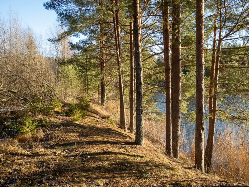

Azure Waters Nature Trail
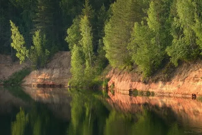
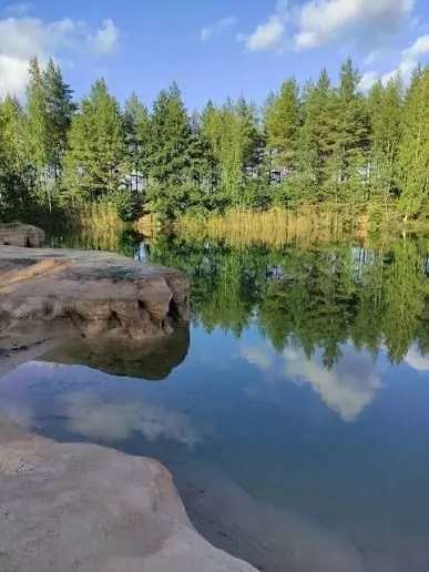
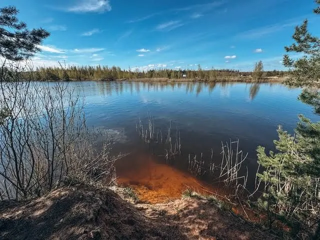
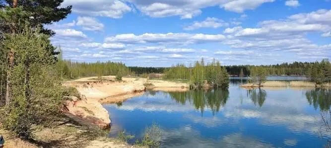
This 4.1 km circular trail follows the eastern edge of the wetland system in North Mshinskoye Bog Nature Reserve. Its main feature is a former sand quarry filled with water, surrounded by pine and mixed woodla…
 Open on map
 Download route

Route status
Added from a track обновление неизвестно No recent trail condition reports
Подробнее о данных маршрута
This route was added from a track. Individual sections have not been checked in the field.
Перед поездкой проверьте доступность тропы, ограничения и прогноз погоды.
Conditions may have changed. Share a report after completing the route.
Последние прохождения
Станьте первым, кто подтвердит прохождение и поможет другим путешественникам.
 Elevation profile
There is no elevation data in the track for the chart.
 Surface
Sand 44% · Не определено 56%
Покрытие определено для 1.82 km из 4.16 km; оставшаяся часть трека пока не классифицирована.
Before you go
Подготовка к маршруту
 Route at a glance
Route suitability
 With a stroller
No
With a stroller
No
 Getting there
 Without a car
 By car
Parking
By car
Parking
What to expect
A water-filled former sand quarry
Reed-fringed shores
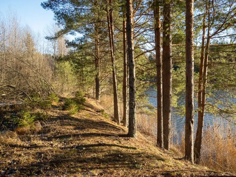
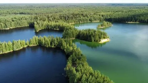
Pine and mixed woodland
Meadow plants
Birdlife of the wider bog system
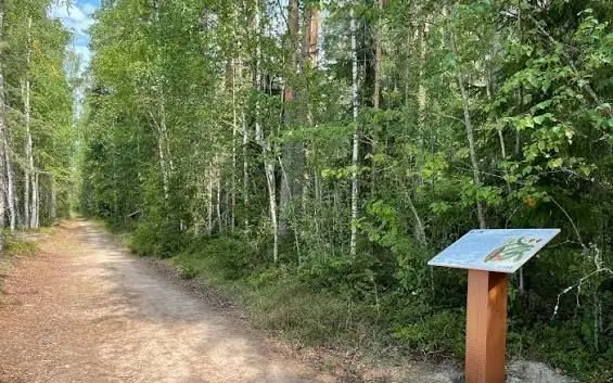
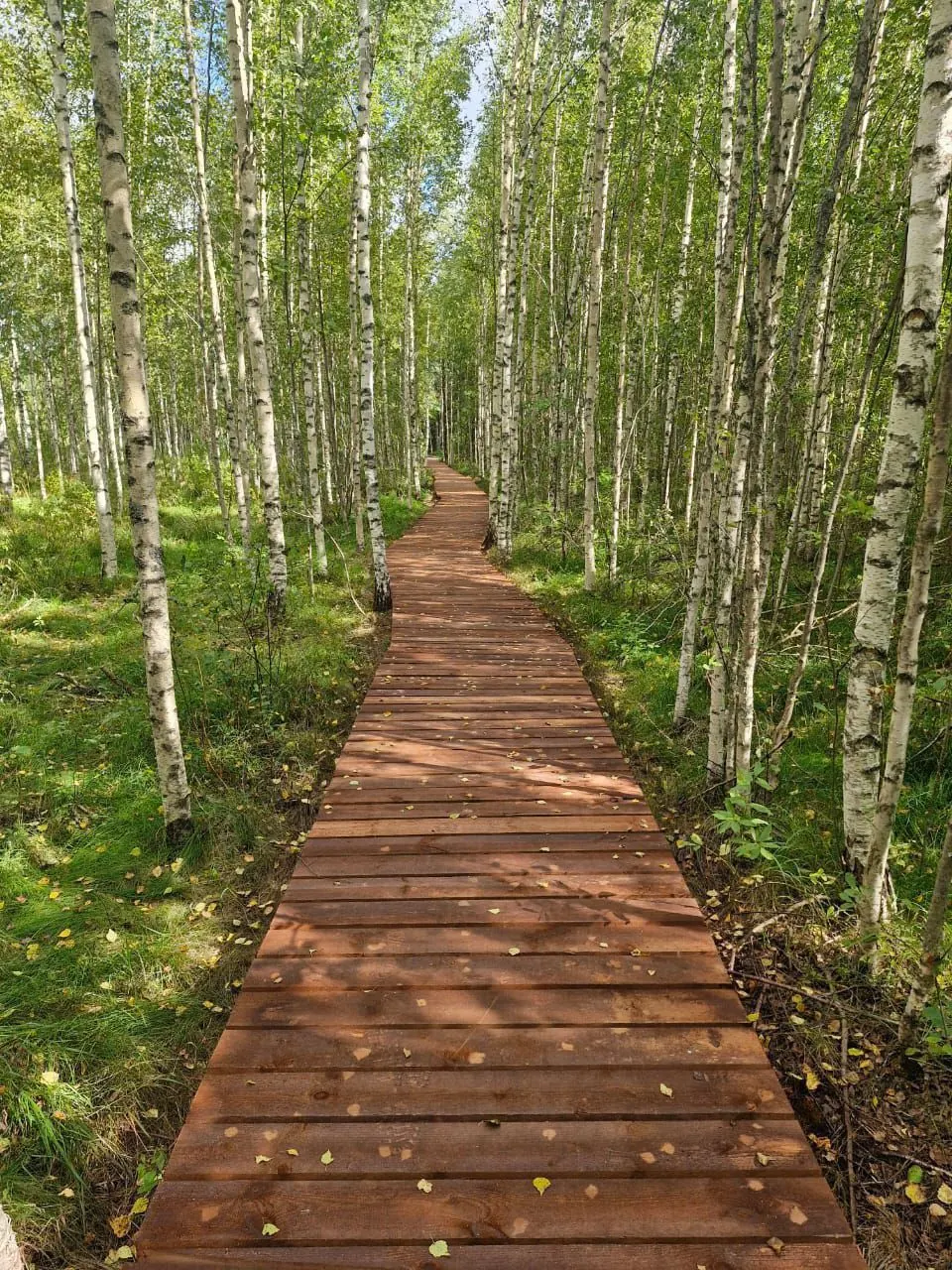
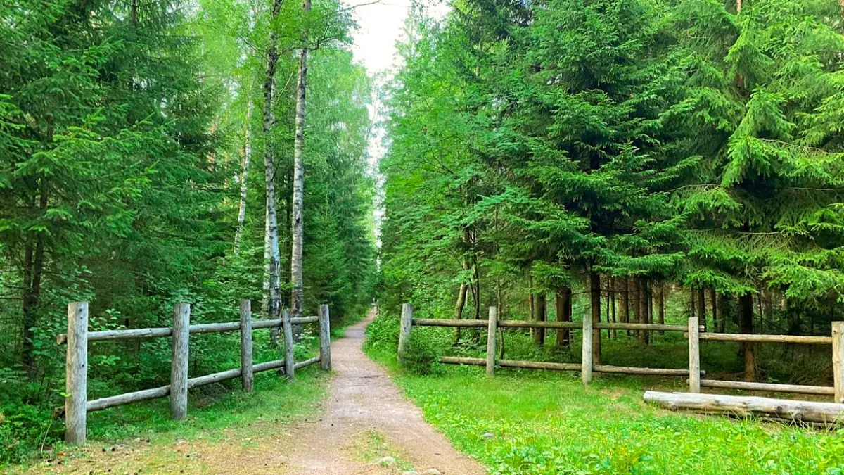
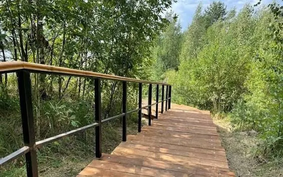
Sandy and unpaved paths
Heavily visited sections near the water
 Difficult sections and safety
 How much time to allow
Расчёт учитывает дистанцию и набор высоты. Добавьте запас на отдых, погоду и навигацию.
Best time to go
May to September is the most attractive period. The shore is busiest in summer, while tracks are wet in spring and after rain. Autumn can be cold and windy beside the water.
Never walk onto quarry ice in winter, as its thickness and condition are not officially monitored.
What to bring
footwear for sand and wet ground
water
insect repellent and tick protection
a sun hat and sunscreen
an offline map and the GPX
a power bank
a bag for carrying out litter
a small first-aid kit
FAQ
Questions before the trip
Can I do this route without a car?
Novinka railway station is the nearest practical public-transport point. The trailhead is still several kilometres away by local roads, so check the walking approach or arrange a taxi in advance. Suburban trains are infrequent. Select the return service before setting out and do not rely on being able to call a car from the shore if signal is weak
Is this route suitable for children?
Most likely yes: the route is short and easy, but still check weather, surface, and safe rest spots before going.
Can I download GPX and KML?
Yes, GPX and KML are available on the route page. Open the map, download the file, and use it in a navigator before your trip; key route facts: 4.2 km, easy.
Route photos
9 photos
 3.4 km
Обсуждение
Комментарии 0
Войдите, чтобы читать обсуждение и оставлять комментарии.
Можно задать вопрос о маршруте, покрытии или поделиться своим опытом.