

The Celestial Divide
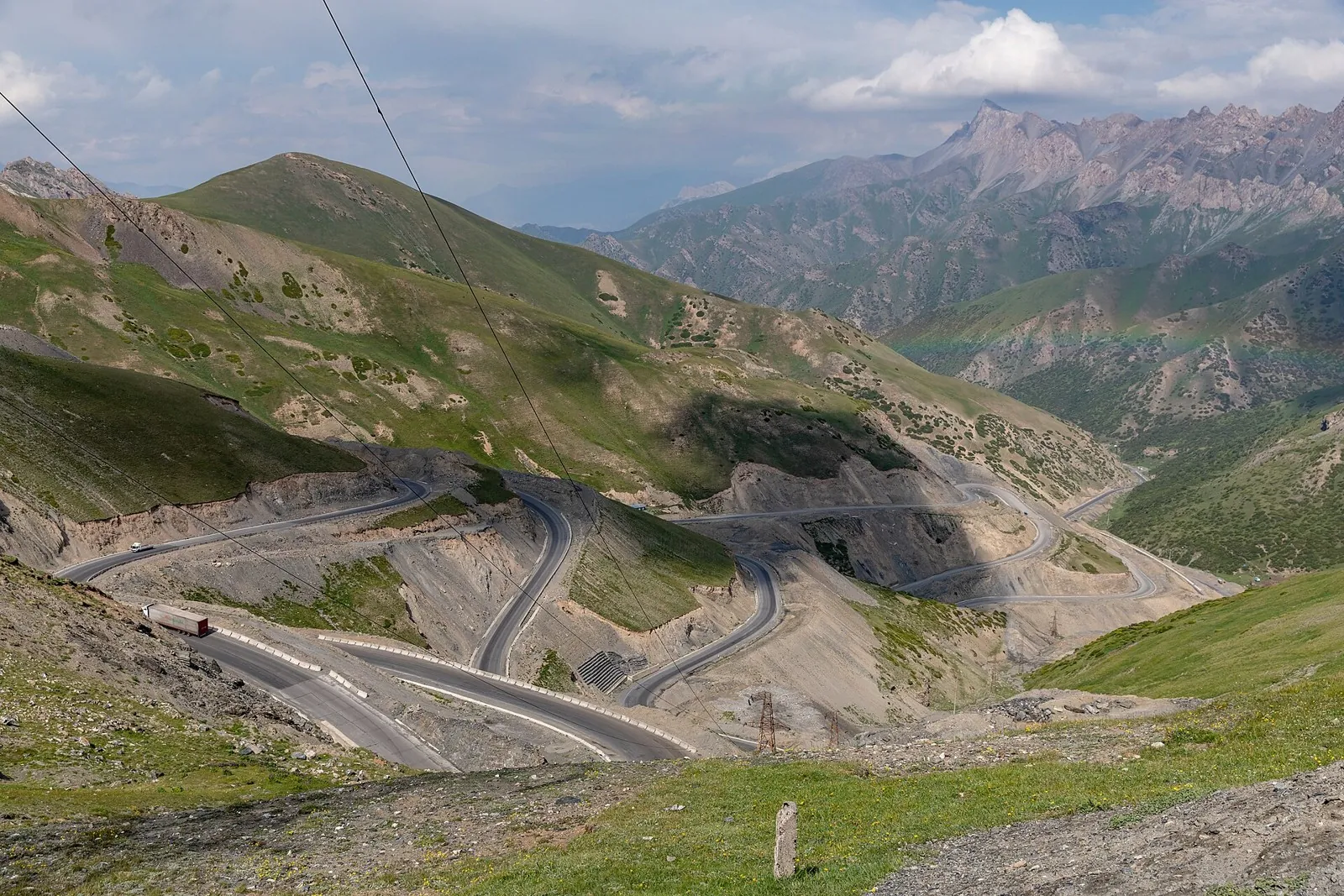
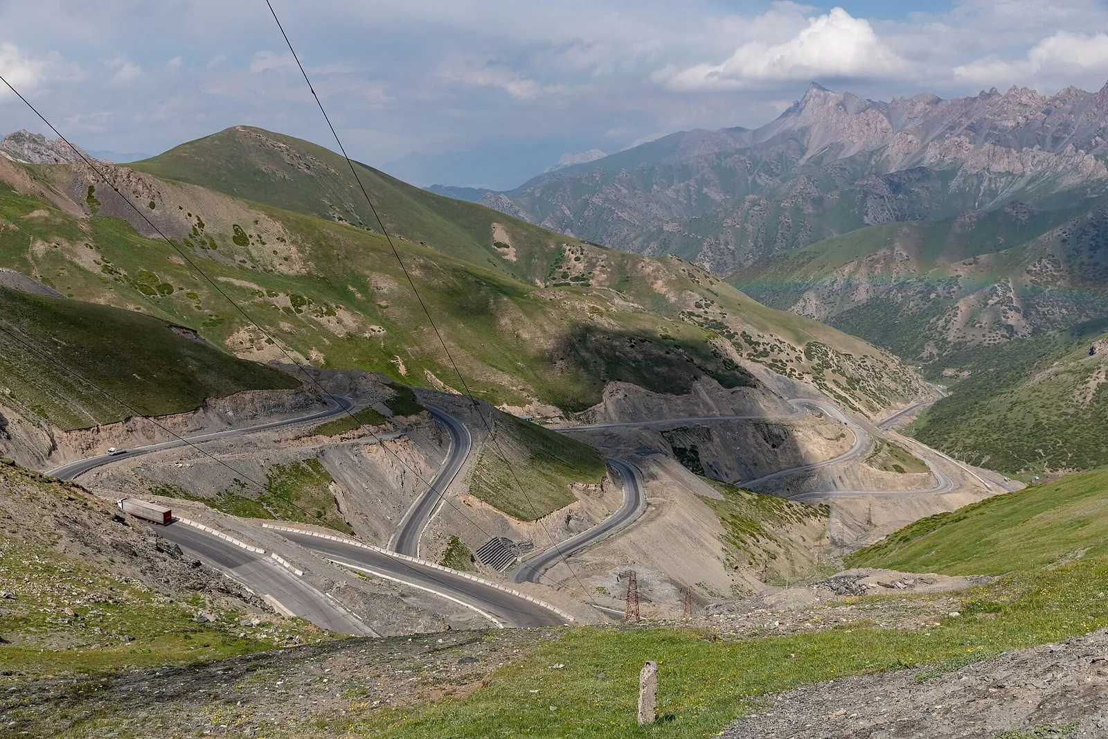
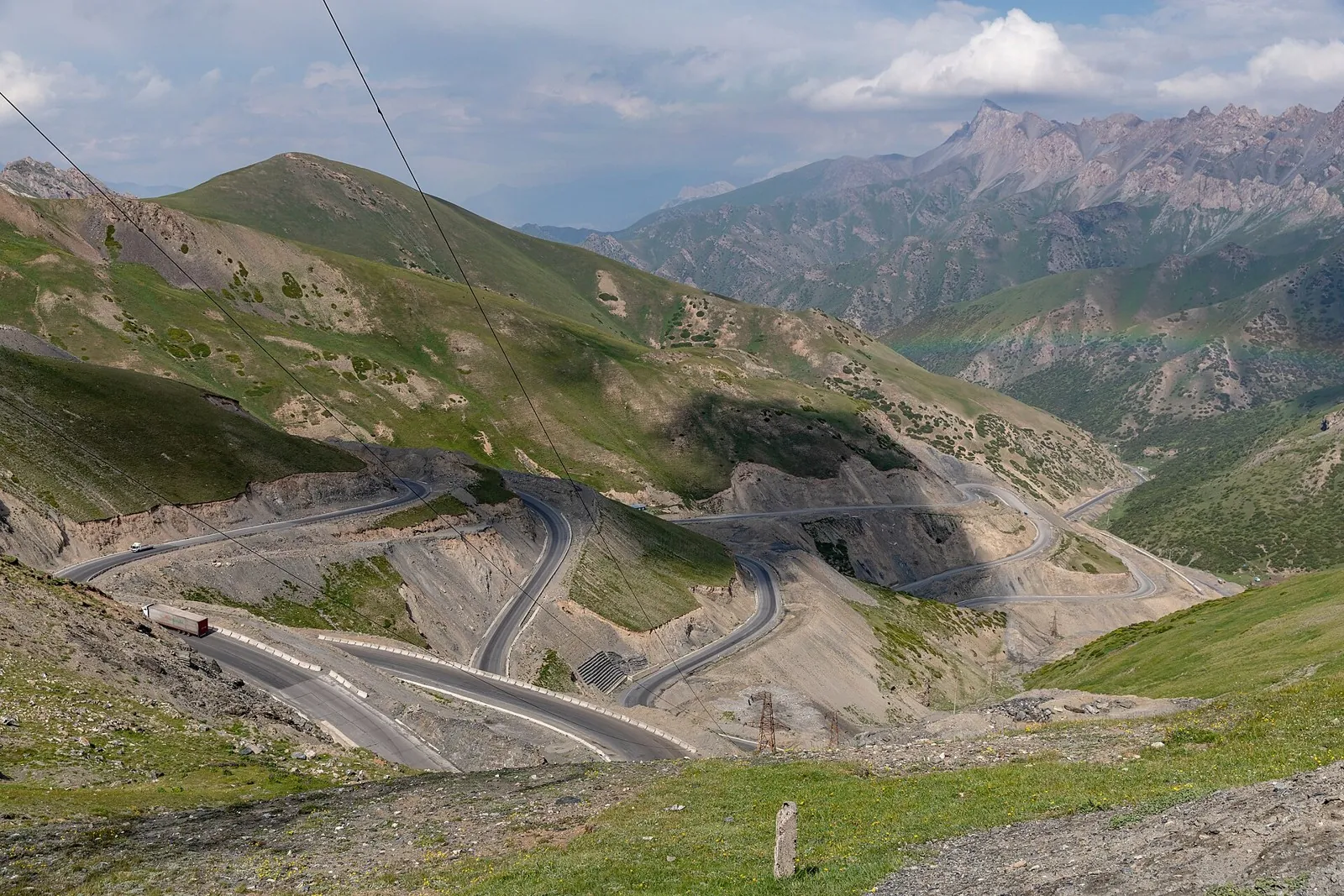
The route covers about 1065.4 km as a point-to-point cycling route, with Bishkek as the most useful starting reference. …

Регион TrailTrack
Routes in Ошская область: maps, route details, difficulty, photos and GPX/KML downloads for planning your trip.
Подборка
The route covers about 1065.4 km as a point-to-point cycling route, with Bishkek as the most useful starting reference. …
The route covers about 12.3 km as a multi-part hiking route, with Кызыл-Суу as the most useful starting reference. The r…
Expect roughly 5.9 km of high-mountain travel. The format is point-to-point, and Канджыга is the starting reference. Use…
Expect roughly 22.3 km of lowland or foothill travel. The format is point-to-point, and Ара-Кол is the starting reference…
The route covers about 29.1 km as a point-to-point hiking route, with Ара-Кол as the most useful starting reference. Use…
This is a point-to-point hiking route of about 8.5 km. The clearest starting reference is Чалкойдо. Use Чалкойдо as the …
The route covers about 27.1 km as a point-to-point hiking route, with Чалкойдо as the most useful starting reference. Us…
This is a point-to-point hiking route of about 26.8 km. The clearest starting reference is Sary-Bee. Use Sary-Bee as the…
This is a point-to-point hiking route of about 18.2 km. The clearest starting reference is Терек-Суу. Use Терек-Суу as t…
This point-to-point route is about 37.4 km long. Use Конобай-Талаа to locate the starting area. Use Конобай-Талаа as the…
This is a multi-part hiking route of about 30.3 km. The clearest starting reference is Gülchö. The route contains 2 sepa…
This is a multi-part hiking route of about 17.6 km. The clearest starting reference is Sary-Oy Kongurat Jayloo. The rout…
This is a point-to-point hiking route of about 8.3 km. The clearest starting reference is Üch-Chat. Use Üch-Chat as the …
This multi-part route is about 11.8 km long. Use Üch-Chat to locate the starting area. The route contains 2 separate par…
Expect roughly 7.0 km of high-mountain travel. The format is point-to-point, and Chal-Kuyruk is the starting reference. …
Expect roughly 3.0 km of high-mountain travel. The format is point-to-point, and Chal-Kuyruk is the starting reference. …
Expect roughly 11.5 km of high-mountain travel. The format is point-to-point, and Chal-Kuyruk is the starting reference. …
This is a point-to-point hiking route of about 5.1 km. The clearest starting reference is Jiptik. Use Jiptik as the star…
Expect roughly 6.9 km of high-mountain travel. The format is point-to-point, and Jiptik is the starting reference. Use J…
Expect roughly 32.0 km of high-mountain travel. The format is multi-part, and Jiptik is the starting reference. The rout…
The route covers about 42.8 km as a multi-part hiking route, with the nearest landmark as the most useful starting refere…
The route covers about 24.2 km as a multi-part hiking route, with Turpa-Chaty as the most useful starting reference. The…
This point-to-point route is about 15.4 km long. Use Kalday to locate the starting area. Use Kalday as the starting refe…
This point-to-point route is about 8.8 km long. Use Ak-Too to locate the starting area. Use Ak-Too as the starting refer…
Материалы