TrailTrack routes

Маршруты с подготовленным описанием, сложностью, покрытием и планированием визита.

Found 82 routes
Choose a route from the list or view routes on the map.
Zhelanny Pass and lower Biron: two separate sections
✓ TrailTrack

Zhelanny Pass and lower Biron: two separate sections

Hiking · One-day

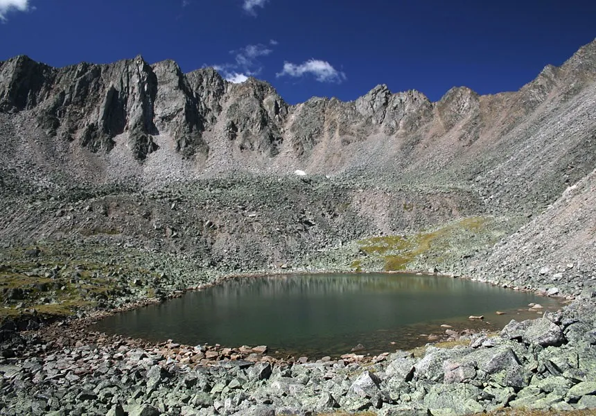
Explore Zhelanny Pass and separately prepare Biron’s lower exit. The upper saddle offers a specific mountain destination, while joining the sections needs independent research.

5.1 km 101 +388 m Hard
Trail from Zhalgi to Perevalu Novogodnemu
✓ TrailTrack

Trail from Zhalgi to Perevalu Novogodnemu

Hiking · One-day

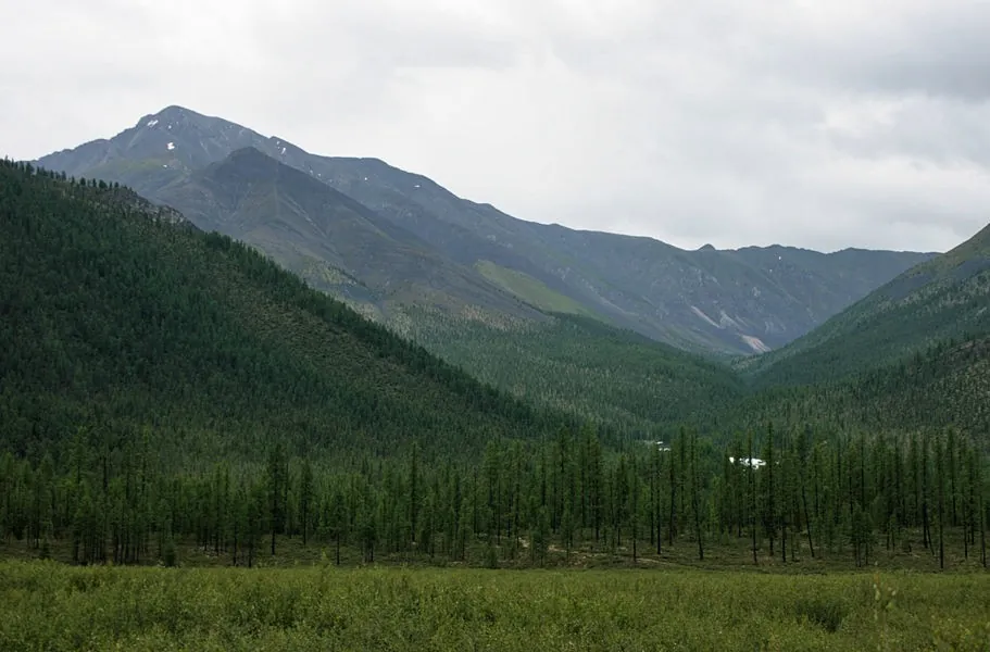
Expect mapped viewpoints occur along the way on this 3.95 km point-to-point walking route. Noticeable climbing: 151 m of total ascent over 3.95 km. Estimated moving time is about 1.4 hours; add time for pauses and navigation.

4.0 km 101 +151 m Easy
To Uchar through Chulcha Valley: Chulyshman, Artyshtu and the Great Waterfall
✓ TrailTrack

To Uchar through Chulcha Valley: Chulyshman, Artyshtu and the Great Waterfall

Altai · Hiking · One-day

Once the route reopens, follow Chulcha Valley to Uchar, encountering the Chulyshman and Artyshtu along the way. The riverside approach and final cascade make this a distinct walking day within a journey through Chulyshman Valley.

8.2 km 101 +300 m Easy
Trail through Srednemu Irkutu
✓ TrailTrack

Trail through Srednemu Irkutu

Hiking · One-day

Expect mapped viewpoints occur along the way on this 7.7 km point-to-point walking route. Strong mountain relief: 492 m of total ascent over 7.7 km. Estimated moving time is about 3.1 hours; add time for pauses and navigation.

7.7 km 100 +492 m Moderate
Ara-Oshey (may 2011 g.: Walking Route
✓ TrailTrack

Ara-Oshey (may 2011 g.: Walking Route

Hiking · Multi-day

The recorded line is a 87.73 km point-to-point walking route, with mapped viewpoints occur along the way. Noticeable climbing: 2977 m of total ascent over 87.73 km. Allow at least 5 days and verify overnight and exit options independently.

87.7 km 100 +2977 m Hard
Morskoy Ridge Expedition
✓ TrailTrack

Morskoy Ridge Expedition

Hiking · Multi-day

Shore or waterside sections are recorded on the route along this 152.87 km point-to-point walking route. Gentle terrain: 850 m of total ascent over 152.87 km. Allow at least 7 days and verify overnight and exit options independently.

152.9 km 100 +850 m Hard
Treki obkhoda dvukh kanonov: Walking Route
✓ TrailTrack

Treki obkhoda dvukh kanonov: Walking Route

Hiking · One-day

The recorded line is a 1.37 km point-to-point walking route, with shore or waterside sections are recorded on the route. Rolling terrain: 16 m of total ascent over 1.37 km. Estimated moving time is about 0.6 hours; add time for pauses and navigation.

1.4 km 98 +16 m Easy
Mountain approach towards the Khara-Murin via Chertovy Gate, Utulik and Dabaty
✓ TrailTrack

Mountain approach towards the Khara-Murin via Chertovy Gate, Utulik and Dabaty

Mountain approach towards the Khara-Murin via Ch · Hiking · Multi-day

Travel from the Slyudyanka valley through a named pass to the Utulik and Dabaty, experiencing Khamar-Daban’s inner river landscapes. Specific mountain places give the independent approach its purpose.

46.4 km 96 +1925 m Hard
Slava Zavyalov, Yura Galachyants, Yulya Glukhareva, Volodya Makarenkov,…: Walking Route
✓ TrailTrack

Slava Zavyalov, Yura Galachyants, Yulya Glukhareva, Volodya Makarenkov,…: Walking Route

Slava Zavyalov · Hiking · Multi-day

Mapped viewpoints occur along the way along this 161.11 km point-to-point walking route. Strong mountain relief: 15100 m of total ascent over 161.11 km. Allow at least 11 days and verify overnight and exit options independently.

161.1 km 94 +15100 m Hard
Sobolinoye Reconnaissance: Grokhotun, Skazka and Return to Baikal
✓ TrailTrack

Sobolinoye Reconnaissance: Grokhotun, Skazka and Return to Baikal

Sobolinoye Reconnaissance: Grokhotun · Hiking · Multi-day

Experience distinct water landscapes in one area: Bolshoye Sobolinoye’s wooded basin, Grokhotun on Gramotukha, Skazka on Krasnaya and Baikal’s coast after returning. Include them in an independently checked programme, leaving demanding reconnaissance slopes to a prepared group.

41.9 km 91 +1552 m Hard
Back Page 4 of 4