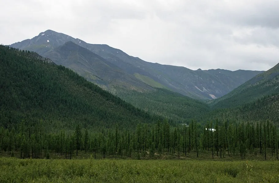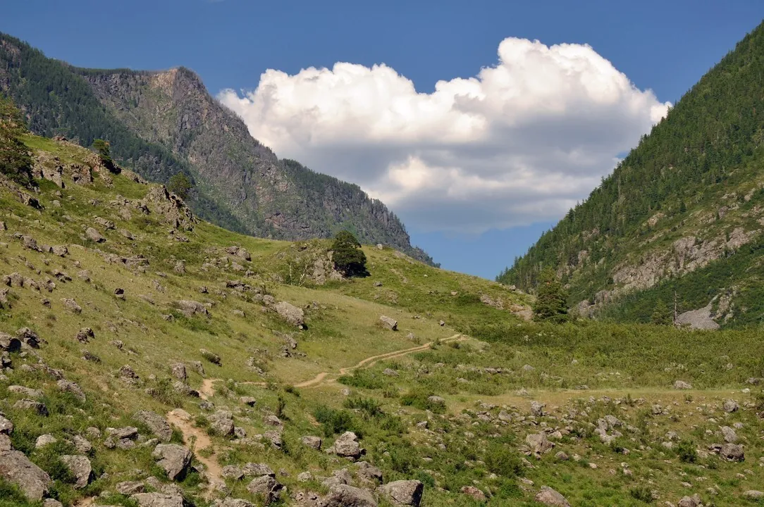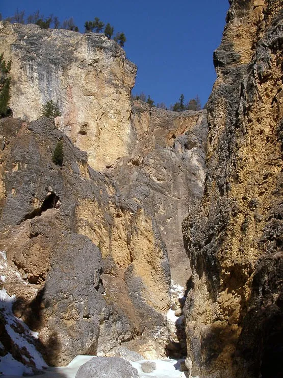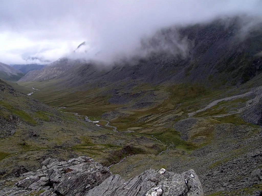
Zhelanny Pass and lower Biron: two separate sections
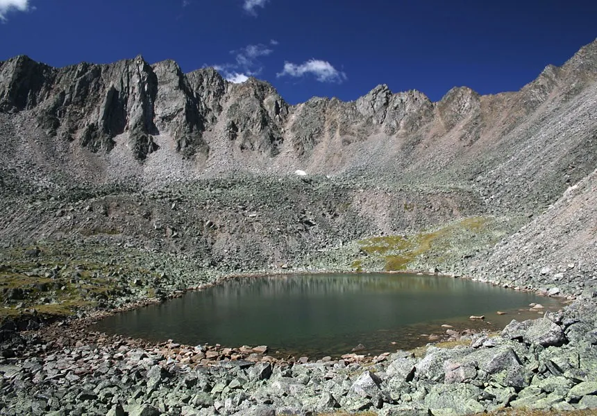
Explore Zhelanny Pass and separately prepare Biron’s lower exit. The upper saddle offers a specific mountain destination, while joining the sections needs independent research.
Маршруты с подготовленным описанием, сложностью, покрытием и планированием визита.
Explore Zhelanny Pass and separately prepare Biron’s lower exit. The upper saddle offers a specific mountain destination, while joining the sections needs independent research.
Expect mapped viewpoints occur along the way on this 3.95 km point-to-point walking route. Noticeable climbing: 151 m of total ascent over 3.95 km. Estimated moving time is about 1.4 hours; add time for pauses and navigation.
Once the route reopens, follow Chulcha Valley to Uchar, encountering the Chulyshman and Artyshtu along the way. The riverside approach and final cascade make this a distinct walking day within a journey through Chulyshman Valley.
Expect mapped viewpoints occur along the way on this 7.7 km point-to-point walking route. Strong mountain relief: 492 m of total ascent over 7.7 km. Estimated moving time is about 3.1 hours; add time for pauses and navigation.
The recorded line is a 87.73 km point-to-point walking route, with mapped viewpoints occur along the way. Noticeable climbing: 2977 m of total ascent over 87.73 km. Allow at least 5 days and verify overnight and exit options independently.
Shore or waterside sections are recorded on the route along this 152.87 km point-to-point walking route. Gentle terrain: 850 m of total ascent over 152.87 km. Allow at least 7 days and verify overnight and exit options independently.
The recorded line is a 1.37 km point-to-point walking route, with shore or waterside sections are recorded on the route. Rolling terrain: 16 m of total ascent over 1.37 km. Estimated moving time is about 0.6 hours; add time for pauses and navigation.
Travel from the Slyudyanka valley through a named pass to the Utulik and Dabaty, experiencing Khamar-Daban’s inner river landscapes. Specific mountain places give the independent approach its purpose.
Mapped viewpoints occur along the way along this 161.11 km point-to-point walking route. Strong mountain relief: 15100 m of total ascent over 161.11 km. Allow at least 11 days and verify overnight and exit options independently.
Experience distinct water landscapes in one area: Bolshoye Sobolinoye’s wooded basin, Grokhotun on Gramotukha, Skazka on Krasnaya and Baikal’s coast after returning. Include them in an independently checked programme, leaving demanding reconnaissance slopes to a prepared group.
Pick where to start
Share a trip