TrailTrack routes

Маршруты с подготовленным описанием, сложностью, покрытием и планированием визита.

Found 1895 routes
Choose a route from the list or view routes on the map.
Aktash: Abshir-Say to Isfayram-Say through the Pum Valley
✓ TrailTrack

Aktash: Abshir-Say to Isfayram-Say through the Pum Valley

Hiking · One-day

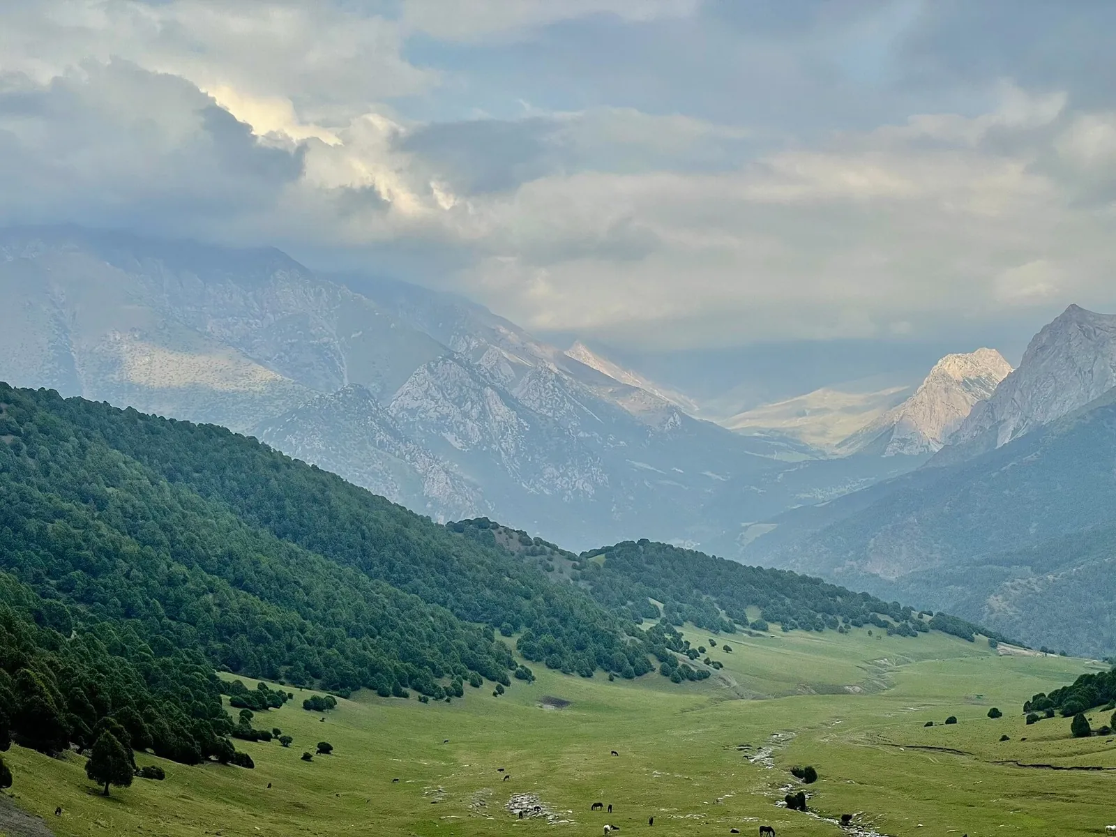
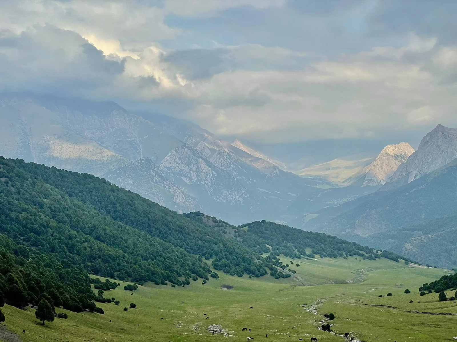
To cross Aktash between the Abshir-Say and Isfayram-Say valleys. The journey makes the divide between two river systems tangible, from the saddle down to the streams that gather in the larger gorge.

25.9 km 79 +652 m Hard
Turquoise Route: via Orsha
✓ TrailTrack

Turquoise Route: via Orsha

КП0 Орша ЖДВокзал Фонтанчик · Bicycle · Multi-day

This large cycling circuit from Orsha stretches for almost 600 km and needs expedition-style planning. The refreshed profile remains broadly flat, but the journey still requires realistic stages, verified overnight and resupply options, and possible exits; raw control points are not presented as protected areas.

599.9 km 79 +334 m Hard
May Day Cycling Route
✓ TrailTrack

May Day Cycling Route

Hiking · Multi-day

Treat this 103.6 km circular walking route as a complete outing, paying attention to the terrain and changing surface underfoot. Gentle terrain: 152 m of total ascent over 103.6 km. Allow at least 5 days and verify overnight and exit options independently.

103.6 km 79 +152 m Hard
Minsk: Paryzh: Minsk: via Tsnyanka
✓ TrailTrack

Minsk: Paryzh: Minsk: via Tsnyanka

КП2, Париж, 210км · Bicycle · Multi-day

This 403.19 km circular cycling route is shaped by its terrain, surface and pace rather than a single landmark. Gentle terrain: 413 m of total ascent over 403.19 km. Allow at least 6 days and verify overnight and exit options independently.

403.2 km 79 +413 m Hard
Lake Country Route: via Minsk
✓ TrailTrack

Lake Country Route: via Minsk

КП1, Ивенец, 67км · Bicycle · Multi-day

Expect shore or waterside sections are recorded on the route on this 599.47 km point-to-point cycling route. Gentle terrain: 627 m of total ascent over 599.47 km. Surface: asphalt. Allow at least 8 days and verify overnight and exit options independently.

599.5 km 79 +627 m Hard
Roads of Belarus: Eastern route
✓ TrailTrack

Roads of Belarus: Eastern route

Старт 2 части · Hiking · Multi-day

Expect woodland is one of the route's main features on this 400.33 km circular walking route. Gentle terrain: 326 m of total ascent over 400.33 km. Surface: asphalt plus compacted ground. Allow at least 17 days and verify overnight and exit options independently.

400.3 km 79 +326 m Hard
Syabrynsky Crossroads
✓ TrailTrack

Syabrynsky Crossroads

Hiking · One-day

This 0.87 km point-to-point walking route passes through terrain where woodland is one of the route's main features. Rolling terrain: 10 m of total ascent over 0.87 km. Surface: natural ground plus improved surface. Estimated moving time is about 0.5 hours; add time for pauses and navigation.

0.9 km 79 +10 m Easy
Zhuk Trail in Krevo
✓ TrailTrack

Zhuk Trail in Krevo

Run · One-day

This 20.33 km point-to-point running route passes through terrain where woodland is one of the route's main features. Rolling terrain: 180 m of total ascent over 20.33 km. Surface: improved surface plus gravel. Estimated moving time is about 3.7 hours; add time for pauses and navigation.

20.3 km 79 +180 m Moderate
Gomel Grand Circuit: via Rechitsa
✓ TrailTrack

Gomel Grand Circuit: via Rechitsa

КП 1 Магазин с 8.00 до 22.00 · Hiking · Multi-day

This 600.44 km point-to-point walking route passes through terrain where woodland is one of the route's main features. Gentle terrain: 218 m of total ascent over 600.44 km. Surface: asphalt. Allow at least 26 days and verify overnight and exit options independently.

600.4 km 79 +218 m Hard
Novopolotsk through the Breakthrough memorial and Lepel to Polotsk
✓ TrailTrack

Novopolotsk through the Breakthrough memorial and Lepel to Polotsk

КП 2 Близница мазазин · Bicycle · Multi-day

Visit the Breakthrough memorial as a specific place of remembrance, then compare it with an architectural and sculptural stop in Lepel. The broad road journey connects different sides of the Polotsk–Lepel region.

299.7 km 79 +173 m Hard
To the Lighthouse through the Vitebsk Lake District: via Polotsk
✓ TrailTrack

To the Lighthouse through the Vitebsk Lake District: via Polotsk

КП 0 База · Bicycle · Multi-day

Mapped stops at Zamokvaya Mountain add clear points of interest along the way. Near the water: shore or waterside sections are recorded on the route. Gentle terrain: 60 m of total ascent over 299.87 km. Surface: asphalt.

299.9 km 79 +60 m Hard
Trans-Belarus: From the finish to the accommodation
✓ TrailTrack

Trans-Belarus: From the finish to the accommodation

Д · Bicycle · One-day

The recorded line is a 3.06 km point-to-point cycling route, with woodland is one of the route's main features. Rolling terrain: 25 m of total ascent over 3.06 km. Surface: asphalt plus paving stones. Estimated moving time is about 0.5 hours; add time for pauses and navigation.

3.1 km 79 +25 m Easy
Mountain-Biking Route in the Caucasus — 38,1 km
✓ TrailTrack

Mountain-Biking Route in the Caucasus — 38,1 km

Mountain-Biking Route in the Caucasus · Off-road cycling · One-day

Plan this 38.06 km point-to-point cycling route from its verified distance, gradients and recorded surface rather than unconfirmed landmarks. Estimated moving time is about 5.3 hours; add time for pauses and navigation.

38.1 km 78 +0 m Hard
Novoros-Abrau
✓ TrailTrack

Novoros-Abrau

Off-road cycling · One-day

Plan this 23.35 km point-to-point cycling route from its verified distance, gradients and recorded surface rather than unconfirmed landmarks. Estimated moving time is about 3.3 hours; add time for pauses and navigation.

23.4 km 78 +0 m Moderate
From Dimshikan Ranger Station to Esso: wooded pass and museum waterfront
✓ TrailTrack

From Dimshikan Ranger Station to Esso: wooded pass and museum waterfront

Hiking · One-day

Walk from the remote ranger-station side through the pass woodland to Esso, finishing beside the Uksichan and museum waterfront. Named woodland landmarks divide the return into distinct sections.

10.9 km 78 +181 m Moderate
West Kara-Ayyrma: Isfayram-Say to Katta-Karagandy
✓ TrailTrack

West Kara-Ayyrma: Isfayram-Say to Katta-Karagandy

Hiking · One-day

To cross West Kara-Ayyrma and explore a side of the Isfayram-Say system. The change of valley beyond the saddle is the defining moment of this walk.

20.5 km 78 +1562 m Moderate
Cosy Corner of the Mogilev Region
✓ TrailTrack

Cosy Corner of the Mogilev Region

КП0 · Bicycle · Multi-day

This 205.94 km point-to-point cycling route passes through terrain where shore or waterside sections are recorded on the route. Gentle terrain: 271 m of total ascent over 205.94 km. Surface: asphalt. Allow at least 3 days and verify overnight and exit options independently.

205.9 km 78 +271 m Hard
Towards Summer: via Dribin
✓ TrailTrack

Towards Summer: via Dribin

КП4 Бібліятэка БГСХА · Bicycle · Multi-day

Shore or waterside sections are recorded on the route along this 200.17 km point-to-point cycling route. Gentle terrain: 221 m of total ascent over 200.17 km. Surface: asphalt. Allow at least 3 days and verify overnight and exit options independently.

200.2 km 78 +221 m Hard
Zaslavl: Woodland Cycling Maze
✓ TrailTrack

Zaslavl: Woodland Cycling Maze

Bicycle · One-day

This 1.78 km point-to-point cycling route is shaped by its terrain, surface and pace rather than a single landmark. Gentle terrain: 1 m of total ascent over 1.78 km. Surface: compacted ground. Estimated moving time is about 0.4 hours; add time for pauses and navigation.

1.8 km 78 +1 m Easy
Cherven Circuit: Eastern route
✓ TrailTrack

Cherven Circuit: Eastern route

КП1 Мглё, 44км · Bicycle · Multi-day

This 200.25 km circular cycling route is shaped by its terrain, surface and pace rather than a single landmark. Gentle terrain: 244 m of total ascent over 200.25 km. Allow at least 3 days and verify overnight and exit options independently.

200.3 km 78 +244 m Hard
Right to Ride: via Malyavki
✓ TrailTrack

Right to Ride: via Malyavki

КП1, Леньки, 88км · Bicycle · Multi-day

The recorded line is a 302.27 km circular cycling route, with woodland is one of the route's main features. Gentle terrain: 140 m of total ascent over 302.27 km. Surface: asphalt plus concrete. Allow at least 4 days and verify overnight and exit options independently.

302.3 km 78 +140 m Hard
Tsnyanka: Road between Towns
✓ TrailTrack

Tsnyanka: Road between Towns

КП Пеликшты, 51 · Bicycle · Multi-day

This 403.29 km circular cycling route is shaped by its terrain, surface and pace rather than a single landmark. Gentle terrain: 230 m of total ascent over 403.29 km. Allow at least 6 days and verify overnight and exit options independently.

403.3 km 78 +230 m Hard
Pleshchenitsy Circuit: Northern route
✓ TrailTrack

Pleshchenitsy Circuit: Northern route

М · Bicycle · Multi-day

This 202.46 km circular cycling route is shaped by its terrain, surface and pace rather than a single landmark. Gentle terrain: 415 m of total ascent over 202.46 km. Allow at least 3 days and verify overnight and exit options independently.

202.5 km 78 +415 m Hard
Rakov Loop: via Tsnyanka
✓ TrailTrack

Rakov Loop: via Tsnyanka

КП1, Скирмантово, 31км · Bicycle · Multi-day

Woodland is one of the route's main features along this 200.63 km point-to-point cycling route. Gentle terrain: 195 m of total ascent over 200.63 km. Surface: asphalt. Allow at least 3 days and verify overnight and exit options independently.

200.6 km 78 +195 m Hard
Back Page 59 of 79 Next