Kurty–Qonaev Road Sections: a Preliminary Cycling Plan
Prepare your own open-country road ride between Kurty and Qonaev after checking a safe connection. Its appeal lies in sustained movement through space and wind with support arranged beforehand.
Routes with a prepared description, difficulty, surface details and visit planning.
Prepare your own open-country road ride between Kurty and Qonaev after checking a safe connection. Its appeal lies in sustained movement through space and wind with support arranged beforehand.
Treat this 103.6 km circular walking route as a complete outing, paying attention to the terrain and changing surface underfoot. Gentle terrain: 152 m of total ascent over 103.6 km. Allow at least 5 days and verify overnight and exit options independently.
This 364.05 km point-to-point walking route passes through terrain where woodland is one of the route's main features. Gentle terrain: 163 m of total ascent over 364.05 km. Allow at least 16 days and verify overnight and exit options independently.
This 1.78 km point-to-point cycling route is shaped by its terrain, surface and pace rather than a single landmark. Gentle terrain: 1 m of total ascent over 1.78 km. Surface: compacted ground. Estimated moving time is about 0.4 hours; add time for pauses and navigation.
The interest of this 1.33 km point-to-point cycling route lies in travelling the distance itself: its gradients, surface and rhythm. Gentle terrain: 9 m of total ascent over 1.33 km. Estimated moving time is about 0.3 hours; add time for pauses and navigation.
The recorded line is a 302.27 km circular cycling route, with woodland is one of the route's main features. Gentle terrain: 140 m of total ascent over 302.27 km. Surface: asphalt plus concrete. Allow at least 4 days and verify overnight and exit options independently.
Woodland is one of the route's main features along this 1006.57 km point-to-point cycling route. Gentle terrain: 328 m of total ascent over 1006.57 km. Surface: asphalt. Allow at least 14 days and verify overnight and exit options independently.
The route includes sites with cultural context along this 0.43 km circular walking route. Gentle terrain: 1 m of total ascent over 0.43 km. Estimated moving time is about 0.4 hours; add time for pauses and navigation.
This 1201.47 km circular walking route passes through terrain where woodland is one of the route's main features. Gentle terrain: 563 m of total ascent over 1201.47 km. Surface: asphalt. Allow at least 51 days and verify overnight and exit options independently.
Expect woodland is one of the route's main features on this 400.33 km circular walking route. Gentle terrain: 326 m of total ascent over 400.33 km. Surface: asphalt plus compacted ground. Allow at least 17 days and verify overnight and exit options independently.
This 0.87 km point-to-point walking route passes through terrain where woodland is one of the route's main features. Rolling terrain: 10 m of total ascent over 0.87 km. Surface: natural ground plus improved surface. Estimated moving time is about 0.5 hours; add time for pauses and navigation.
The route includes sites with cultural context along this 604.48 km circular cycling route. Gentle terrain: 481 m of total ascent over 604.48 km. Surface: asphalt. Allow at least 8 days and verify overnight and exit options independently.
Expect woodland is one of the route's main features on this 207.15 km point-to-point cycling route. Gentle terrain: 394 m of total ascent over 207.15 km. Surface: asphalt. Allow at least 3 days and verify overnight and exit options independently.
The recorded line is a 277.96 km point-to-point cycling route, with woodland is one of the route's main features. Gentle terrain: 151 m of total ascent over 277.96 km. Surface: asphalt. Allow at least 4 days and verify overnight and exit options independently.
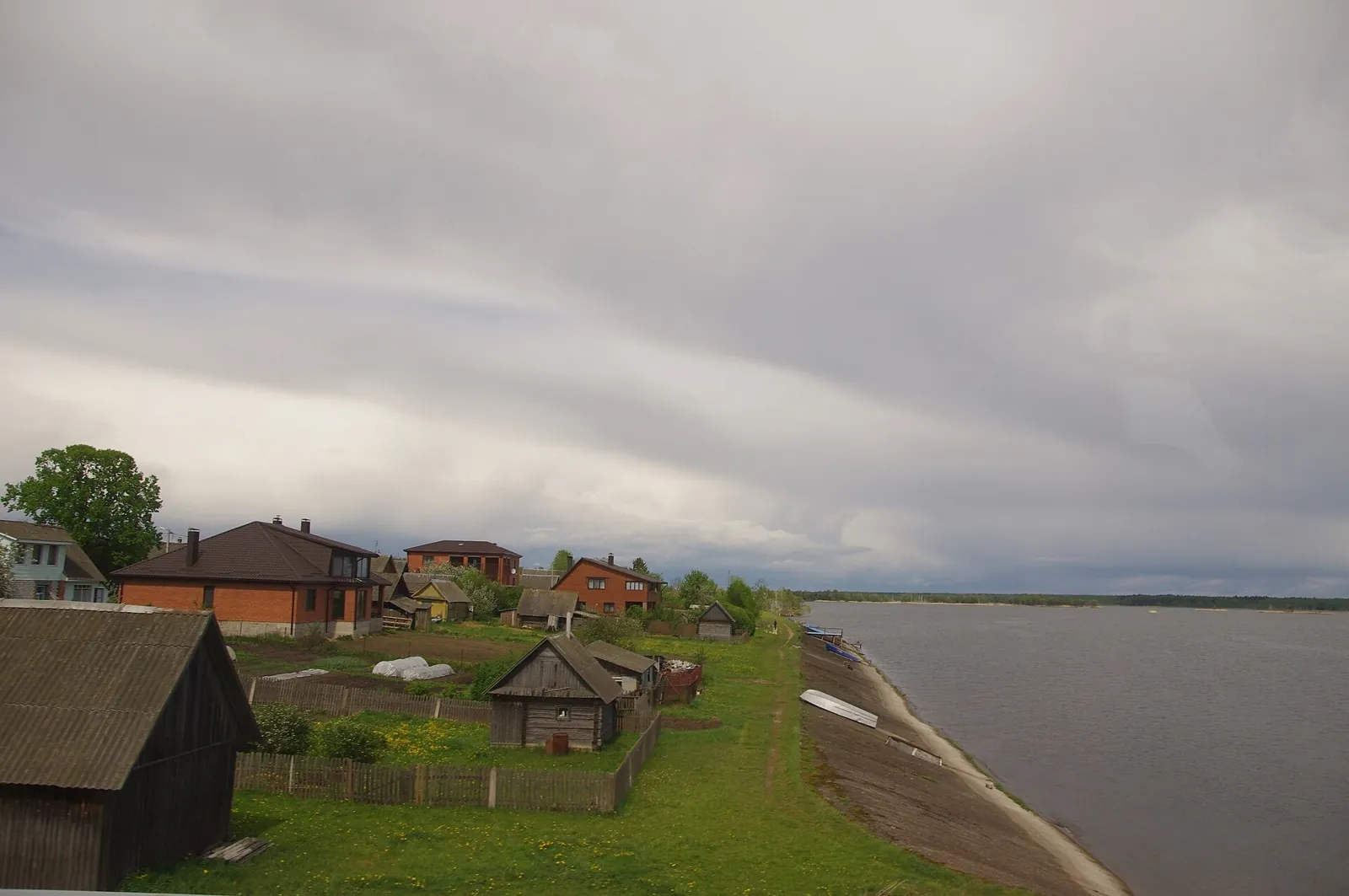
Travel through Chyonki and Milograd, see the neighbouring churches of old Rechitsa and bring the Sozh, Dnieper, Berezina, Besed and Iput into one journey. This version combines a close look at Rechitsa with the rural road to Svetilovichi and a return through Vetka.
Plan this 4.85 km point-to-point cycling route from its verified distance, gradients and recorded surface rather than unconfirmed landmarks. Estimated moving time is about 0.7 hours; add time for pauses and navigation.
Plan this 7.9 km point-to-point cycling route from its verified distance, gradients and recorded surface rather than unconfirmed landmarks. Estimated moving time is about 1.1 hours; add time for pauses and navigation.
Plan this 17.1 km point-to-point walking route from its verified distance, gradients and recorded surface rather than unconfirmed landmarks. Estimated moving time is about 5.0 hours; add time for pauses and navigation.
After access is confirmed, this return from Rosa Khutor’s eastern side becomes a walk in its own right. Krasivy Pass provides a pause between the high hillside and lively Rosa Peak. Take time to enjoy the mountain setting and reserve a separate Stone Pillar ascent for an open trail and suitable weather.
Cross Kyrgyzstan between Bishkek and Alay, combining real pass stops with self-supported valley days. Koy-Jolu is a defining southern episode of the longer journey.
The recorded line is a 402.59 km point-to-point cycling route, with woodland is one of the route's main features. Gentle terrain: 424 m of total ascent over 402.59 km. Surface: asphalt. Allow at least 6 days and verify overnight and exit options independently.
This 403.19 km circular cycling route is shaped by its terrain, surface and pace rather than a single landmark. Gentle terrain: 413 m of total ascent over 403.19 km. Allow at least 6 days and verify overnight and exit options independently.
Woodland is one of the route's main features along this 200.63 km point-to-point cycling route. Gentle terrain: 195 m of total ascent over 200.63 km. Surface: asphalt. Allow at least 3 days and verify overnight and exit options independently.
Expect woodland is one of the route's main features on this 201.24 km circular cycling route. Gentle terrain: 169 m of total ascent over 201.24 km. Surface: asphalt plus compacted ground. Allow at least 3 days and verify overnight and exit options independently.
Pick where to start
Share a trip