
Oak Groves Nature Trail
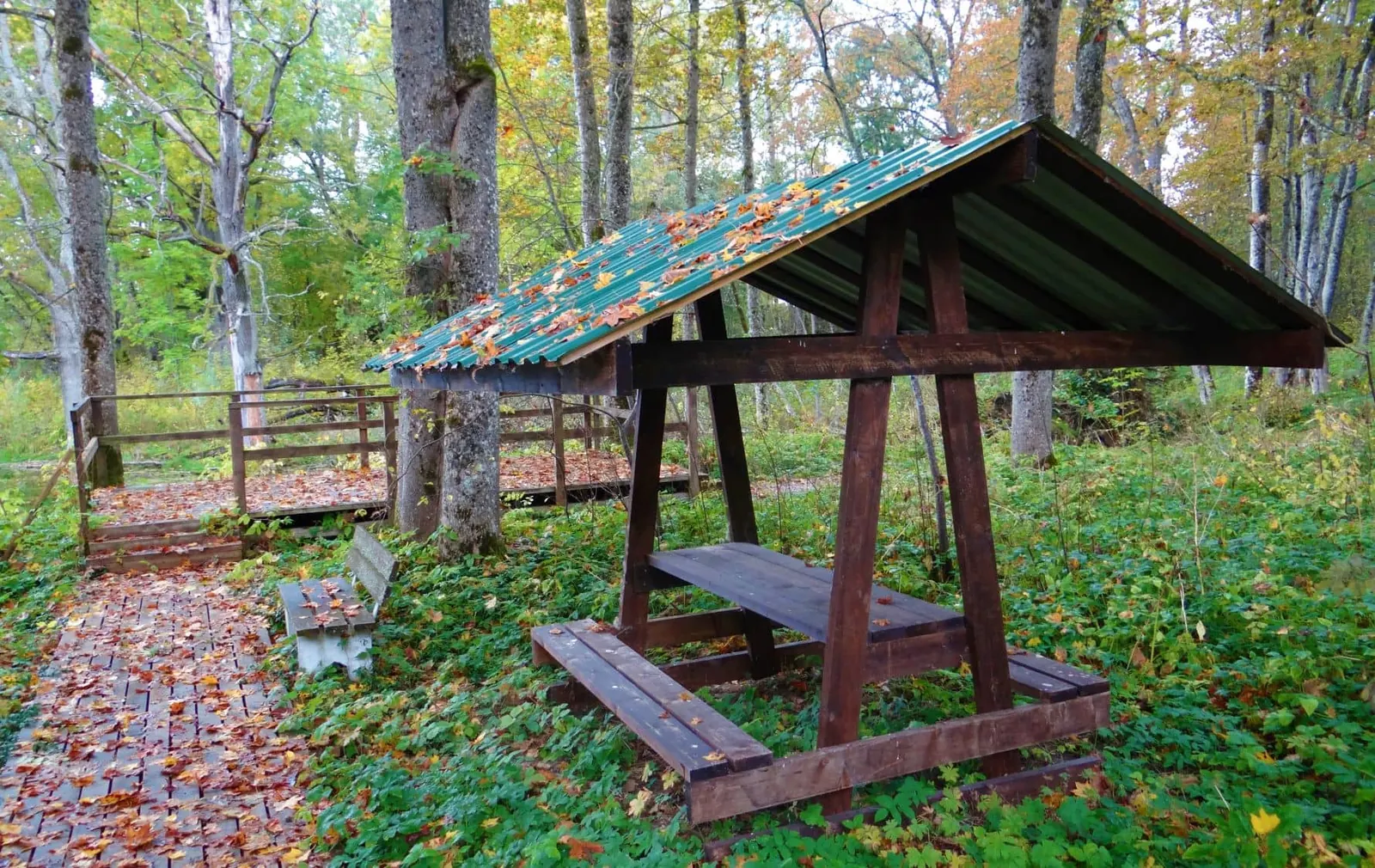
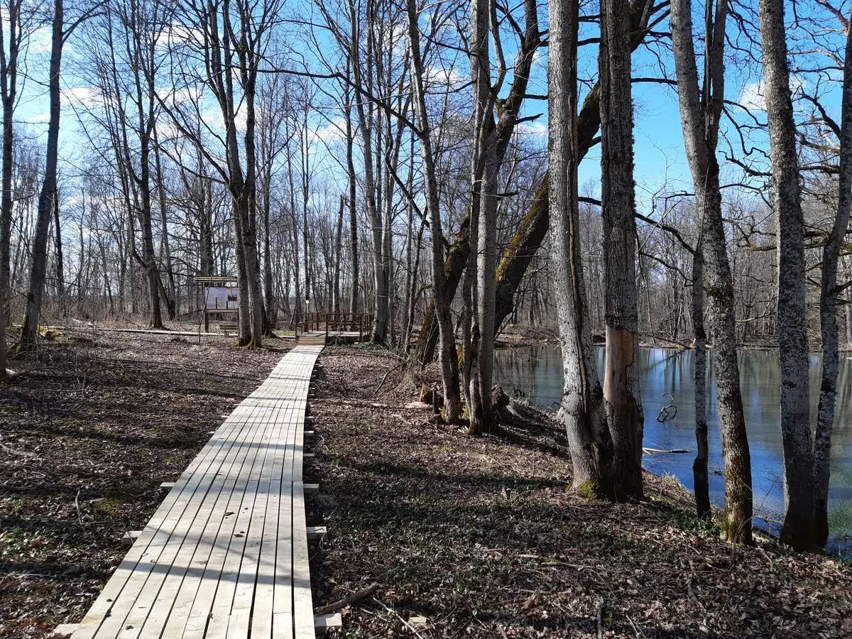
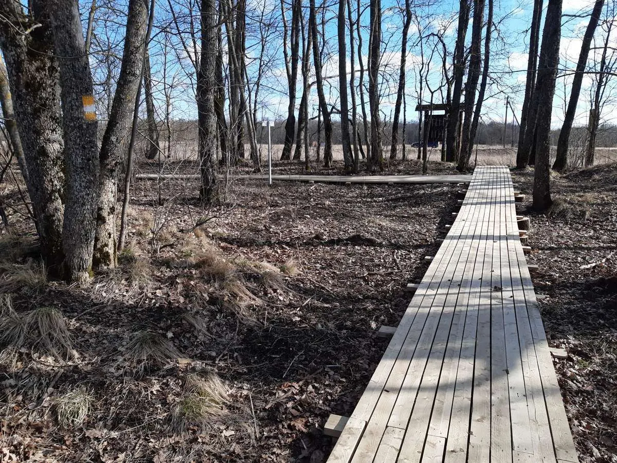
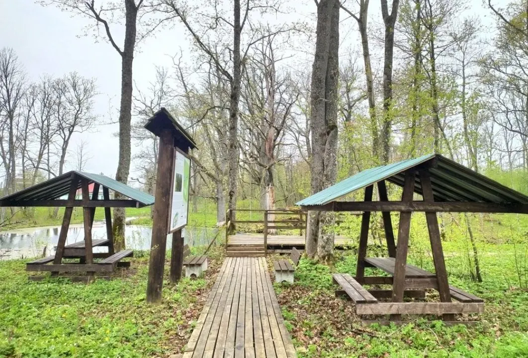
This short 0.5 km circular trail runs through a historic park in Oak Groves near Velkota Nature Reserve. The park once formed part of the Blok family estate and still contains mature oak, ash, lime and maple t…
 Open on map
 Download route

Route status
Added from a track обновление неизвестно No recent trail condition reports
Подробнее о данных маршрута
This route was added from a track. Individual sections have not been checked in the field.
Перед поездкой проверьте доступность тропы, ограничения и прогноз погоды.
Conditions may have changed. Share a report after completing the route.
Последние прохождения
Станьте первым, кто подтвердит прохождение и поможет другим путешественникам.
 Elevation profile
There is no elevation data in the track for the chart.
 Surface
Improved surface 82% · Не определено 18%
Покрытие определено для 0.40 km из 0.49 km; оставшаяся часть трека пока не классифицирована.
Before you go
Подготовка к маршруту
 Route at a glance
 Getting there
 Without a car
 By car
Parking
By car
Parking
What to expect
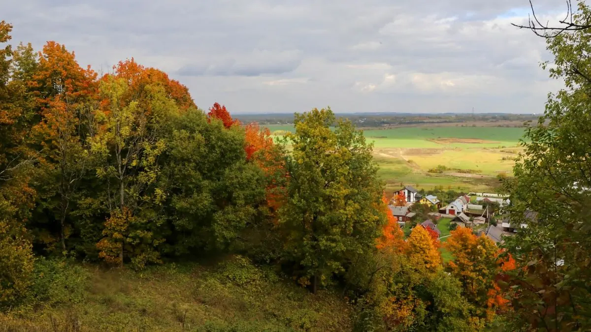
A historic park from the former Blok estate
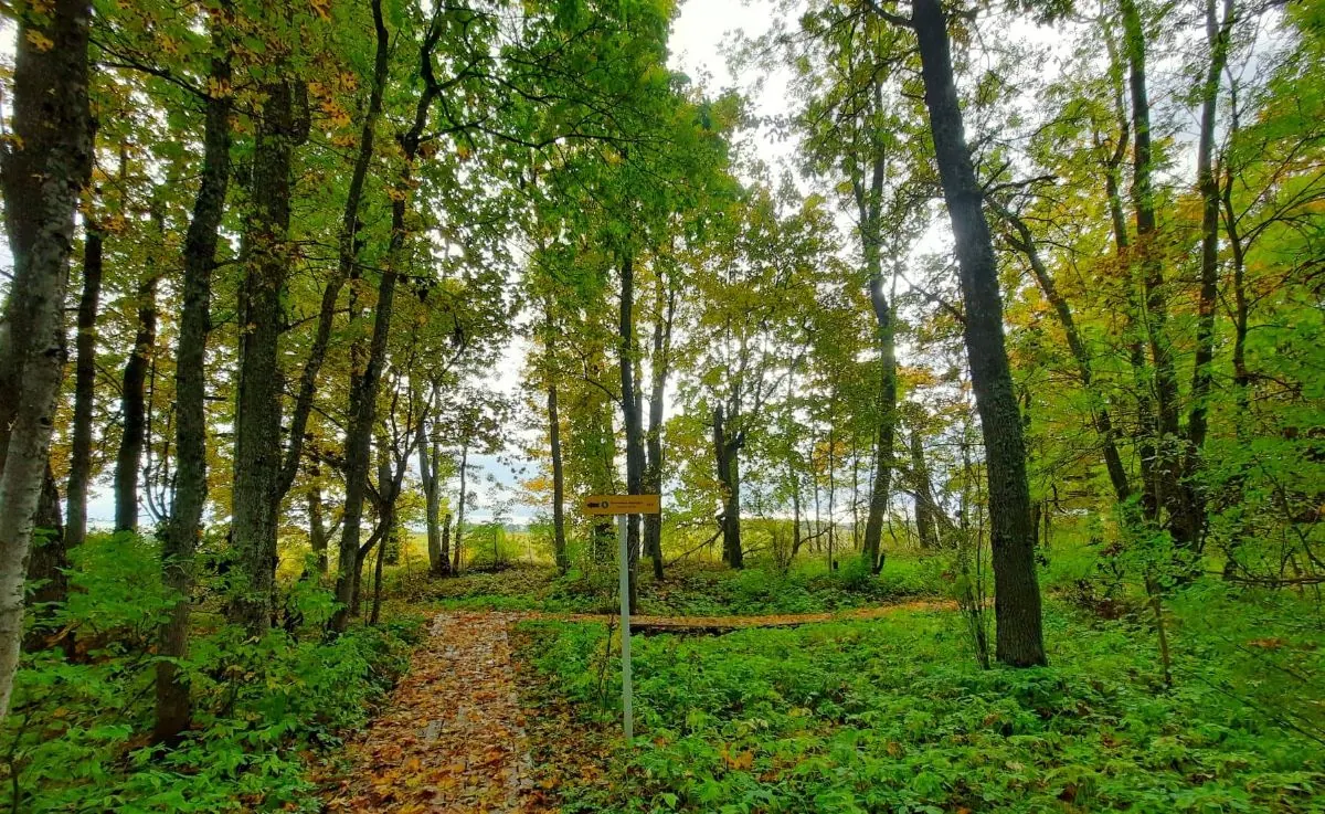
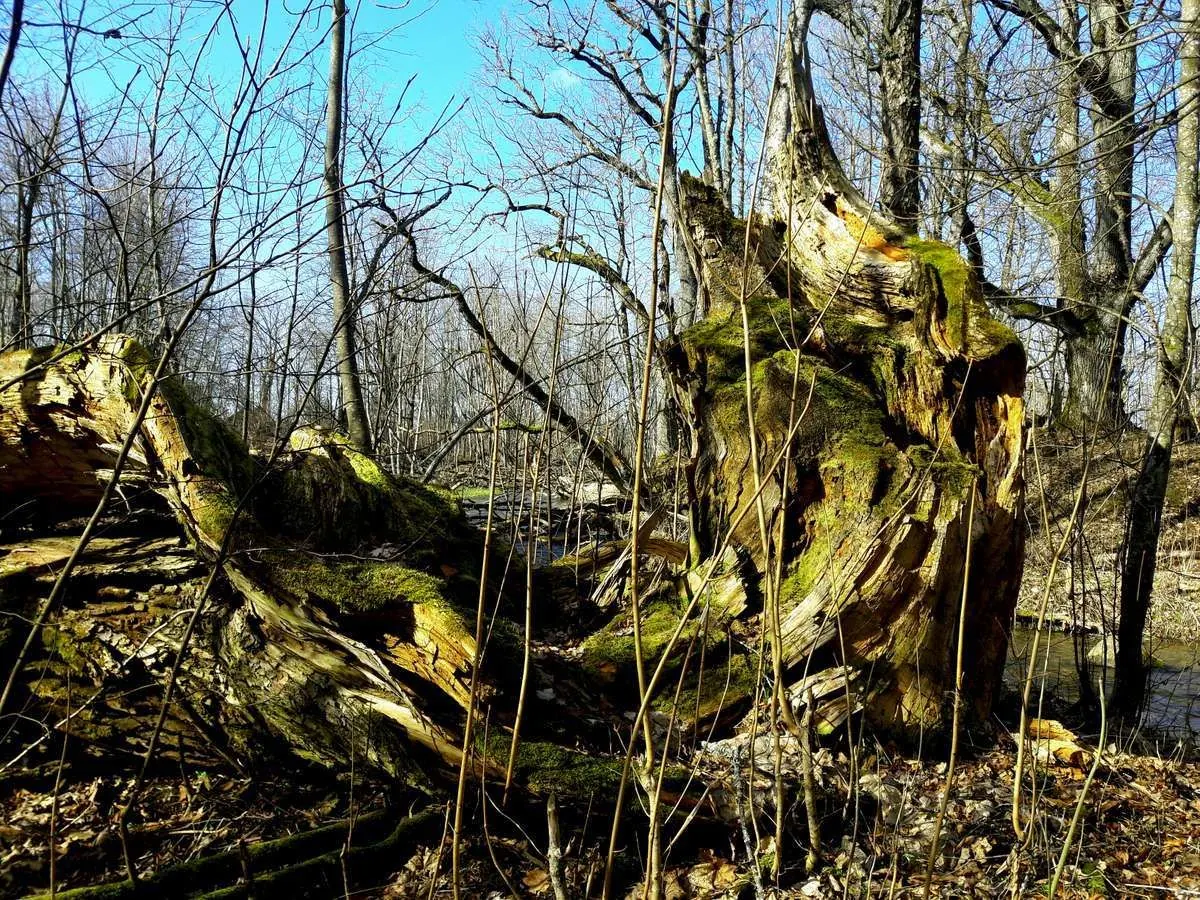
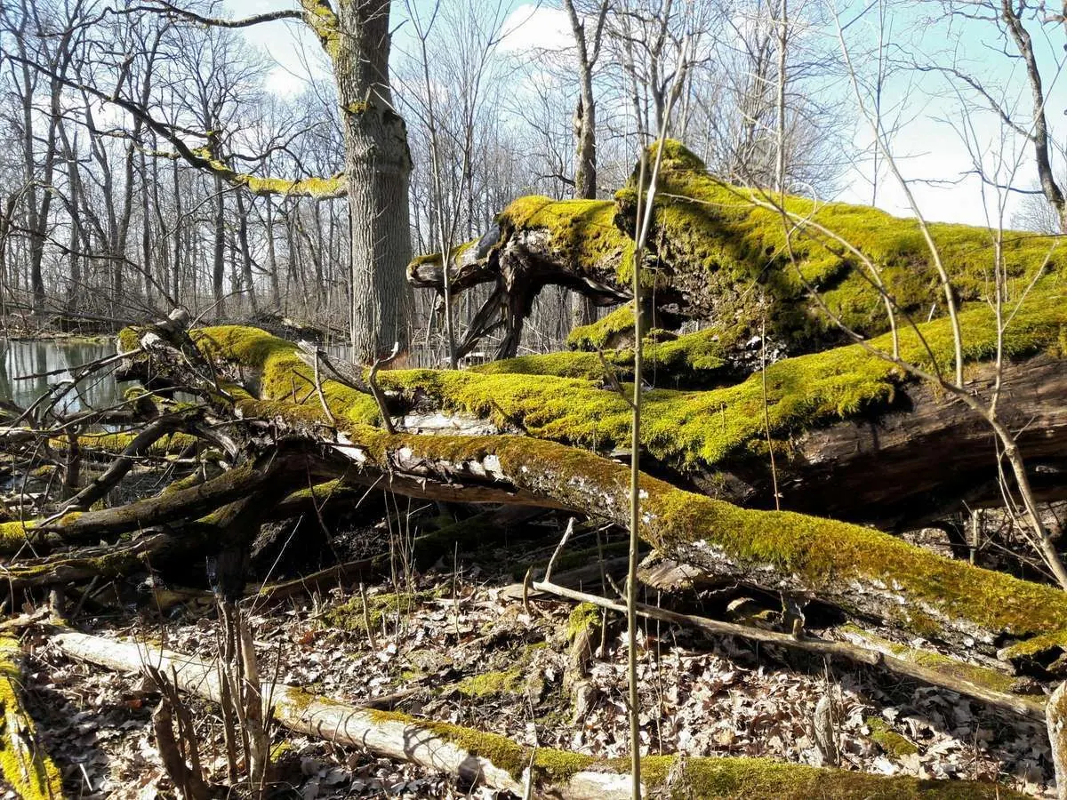
Mature oak, ash, lime and maple trees
White poplar and lilac
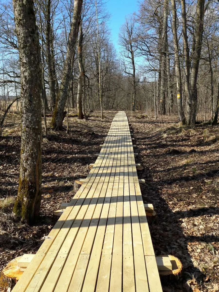
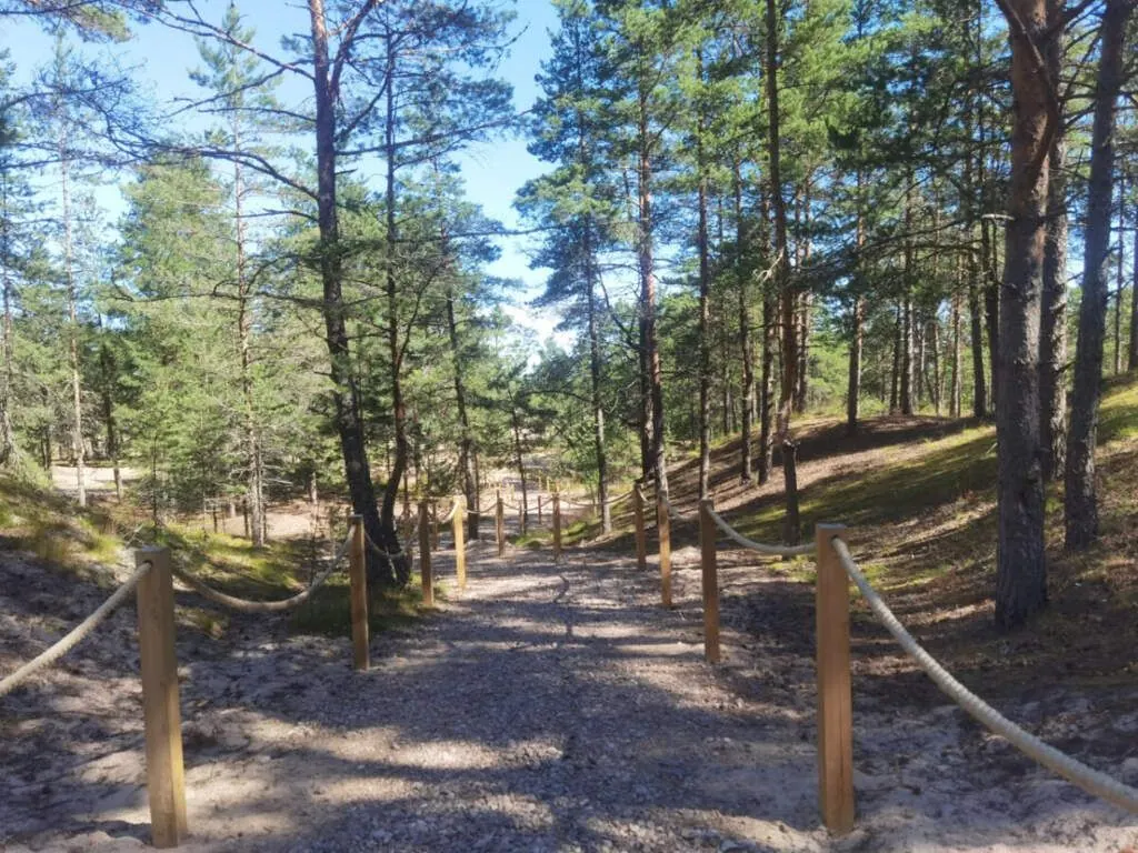
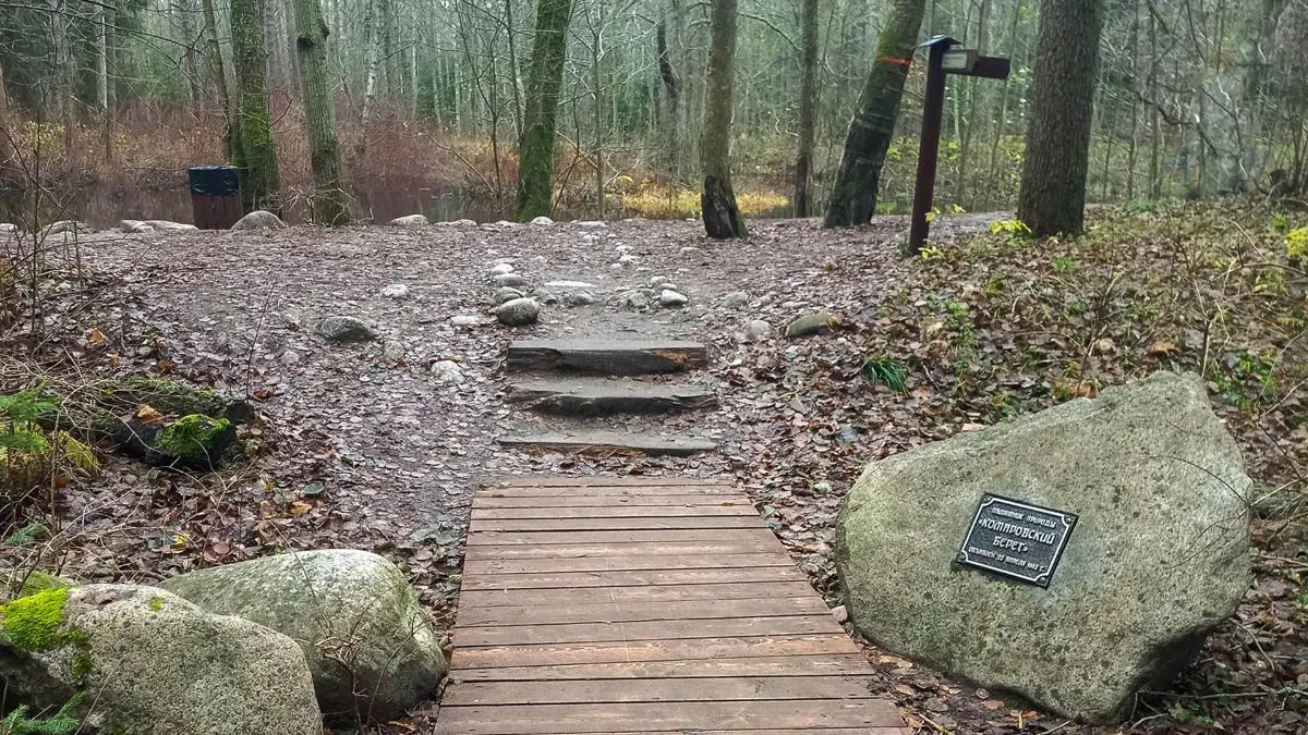
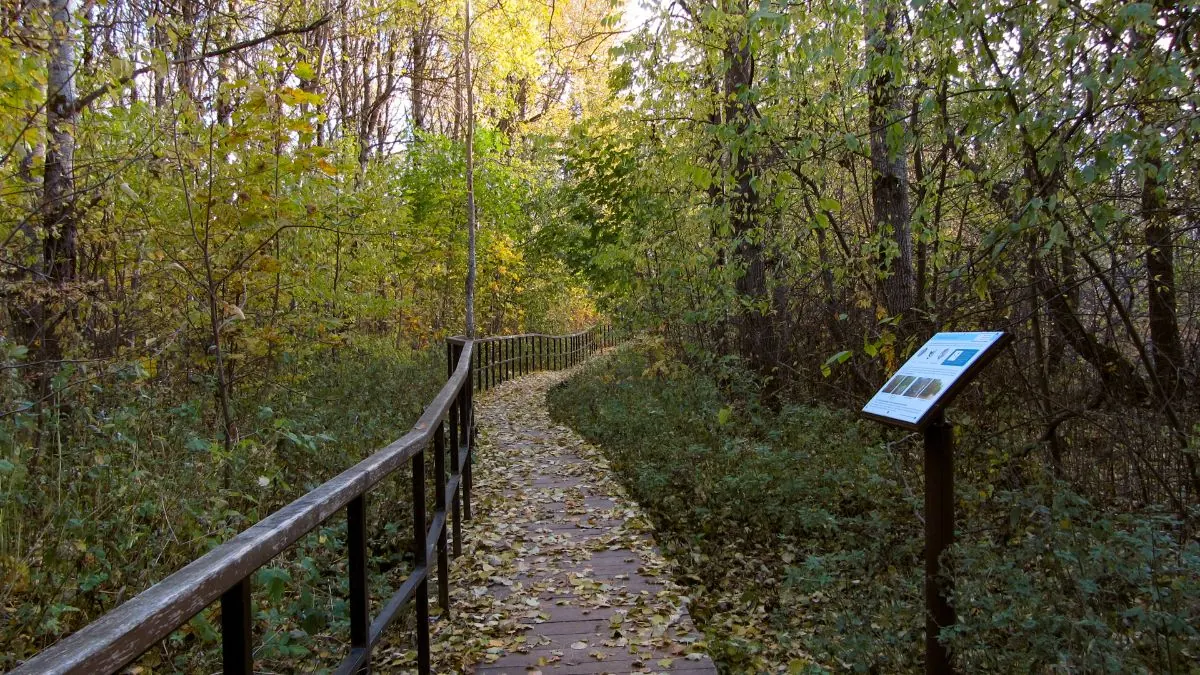
A wooden boardwalk
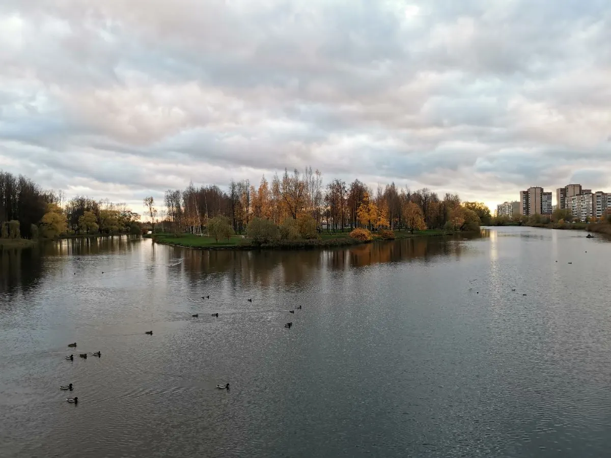
A karst sinkhole pond
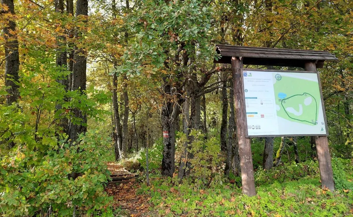
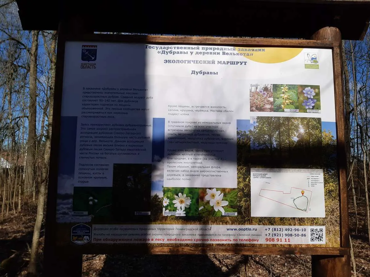
Interpretation panels about oak woodland and karst
 Difficult sections and safety
 How much time to allow
Расчёт учитывает дистанцию и набор высоты. Добавьте запас на отдых, погоду и навигацию.
Best time to go
The official trail is suitable for year-round visits. The oak woodland is most expressive from late spring to autumn, particularly during full foliage and autumn colour.
The boardwalk may be slippery after rain and in winter. Avoid standing beneath old trees during strong wind.
What to bring
footwear with a non-slip sole
rain protection if required
insect repellent and tick protection in the warm season
 a small amount of water
a phone with the trailhead saved
binoculars or a camera if desired
a small amount of water
a phone with the trailhead saved
binoculars or a camera if desired
FAQ
Questions before the trip
Can I do this route without a car?
Regional buses may reach Velkota through Kingisepp District, but services are infrequent and not always convenient for a day trip. From the stop, walk to the official trailhead. Check the timetable in both directions and keep a backup return option, such as a taxi or arranged transfer
Is this route suitable for children?
Most likely yes: the route is short and easy, but still check weather, surface, and safe rest spots before going.
Can I download GPX and KML?
Yes, GPX and KML are available on the route page. Open the map, download the file, and use it in a navigator before your trip; key route facts: 0.5 km, easy.
Route photos
9 photos
 3.7 km
Обсуждение
Комментарии 0
Войдите, чтобы читать обсуждение и оставлять комментарии.
Можно задать вопрос о маршруте, покрытии или поделиться своим опытом.