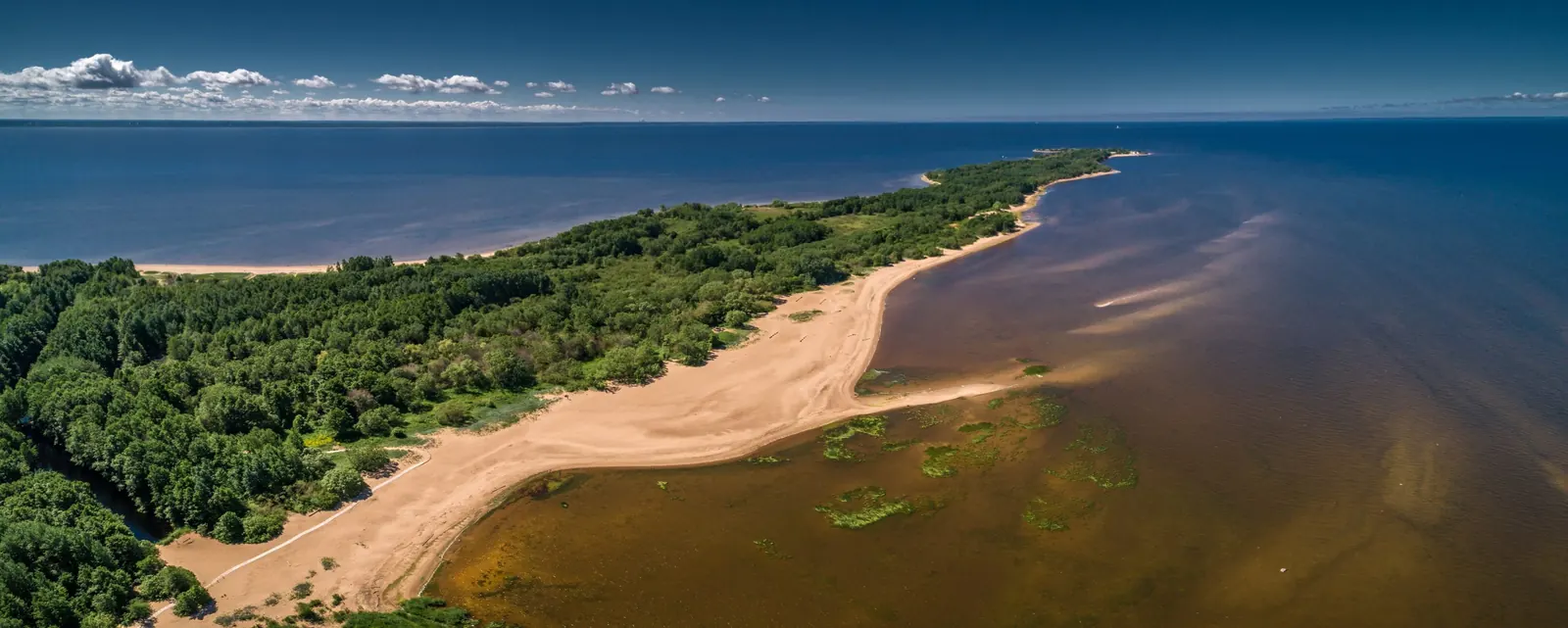

Western Kotlin Nature Trail, Fort Rif and Fort Shants
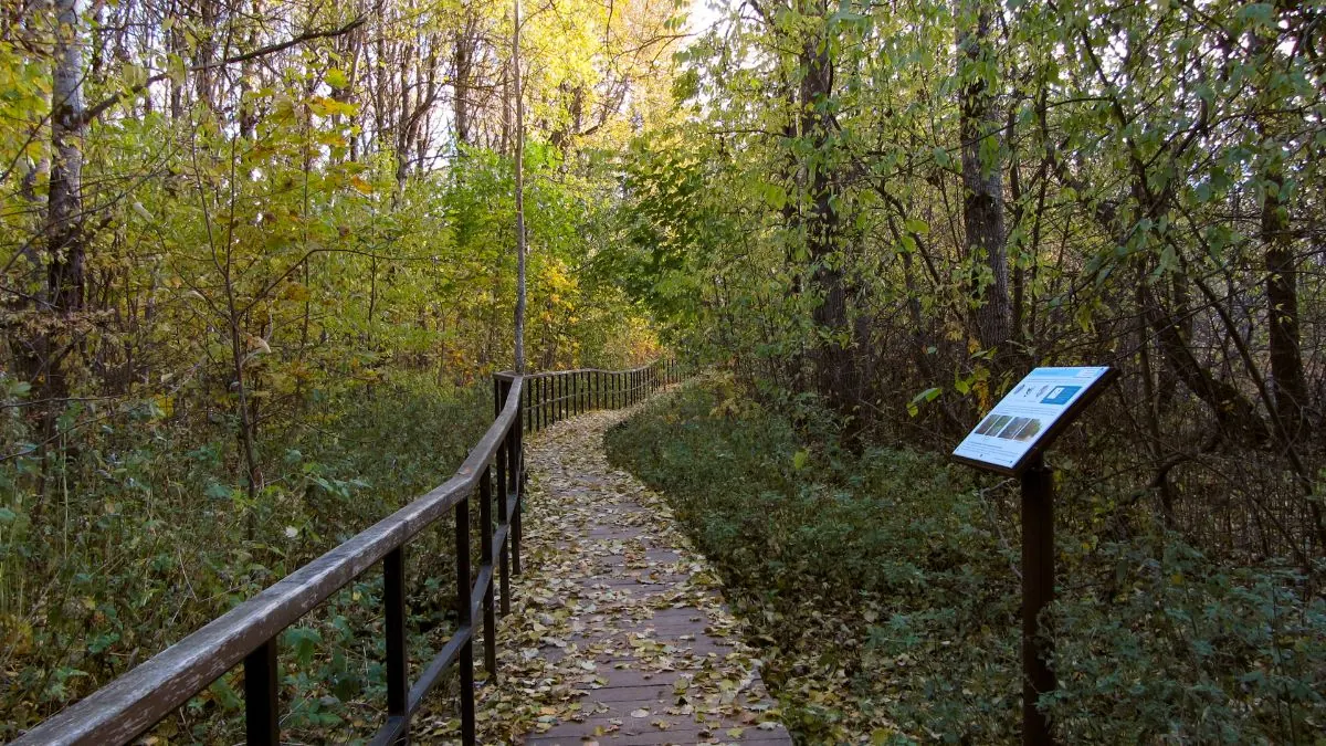
This 6.7 km combined loop explores the western tip of Kotlin Island, linking the Western Kotlin protected-area trail with Fort Shants and Fort Rif. The official nature trail is only about 1.5 km long; the supp…
 Open on map
 Download route

Route status
Added from a track обновление неизвестно No recent trail condition reports
Подробнее о данных маршрута
This route was added from a track. Individual sections have not been checked in the field.
Перед поездкой проверьте доступность тропы, ограничения и прогноз погоды.
Conditions may have changed. Share a report after completing the route.
Последние прохождения
Станьте первым, кто подтвердит прохождение и поможет другим путешественникам.
 Elevation profile
There is no elevation data in the track for the chart.
 Surface
Asphalt 52% · Compacted dirt 17% · Dirt 8% · Не определено 20%
Покрытие определено для 5.34 km из 6.68 km; оставшаяся часть трека пока не классифицирована.
Before you go
Подготовка к маршруту
 Route at a glance
 Getting there
 Without a car
 By car
Parking
By car
Parking
What to expect
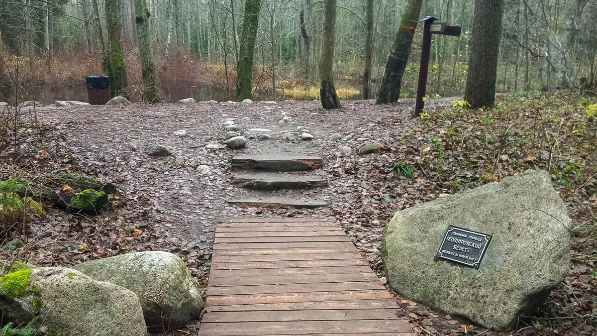
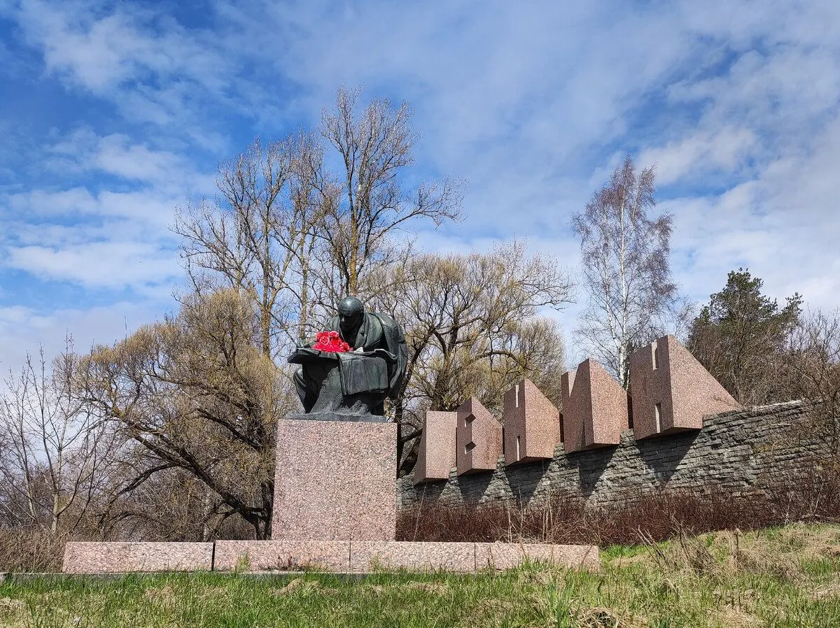
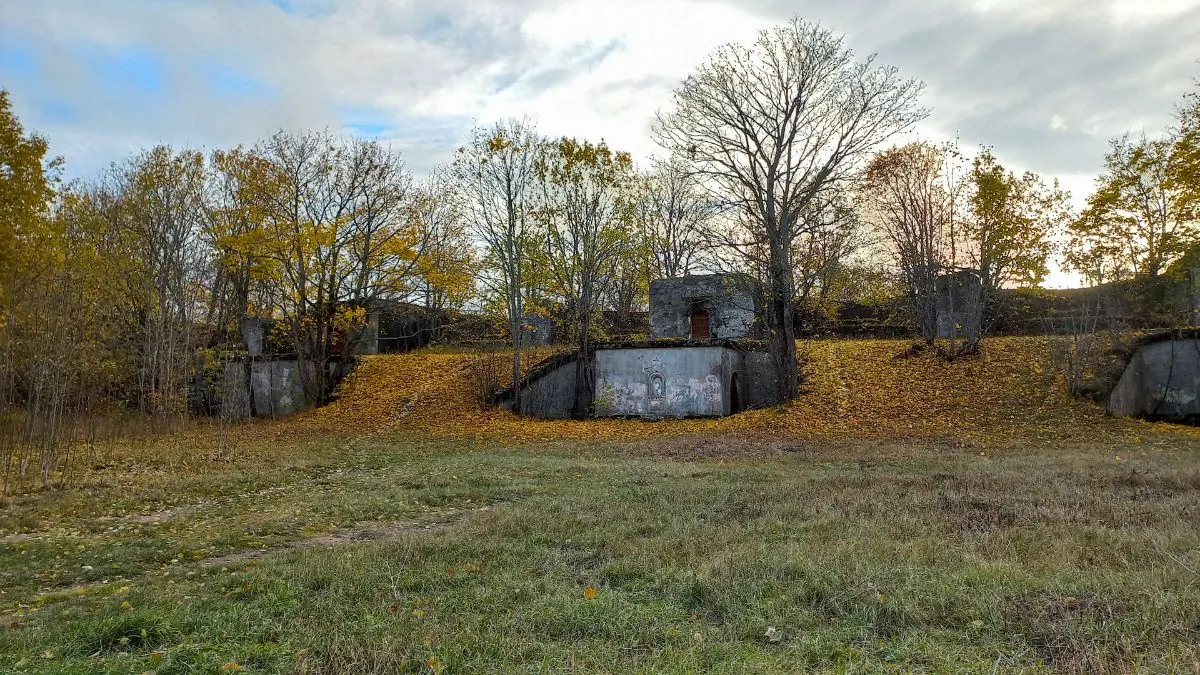
Fort Shants and the northern entrance to the nature trail
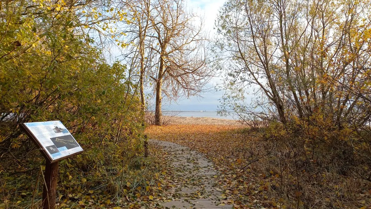
Deciduous coastal woodland
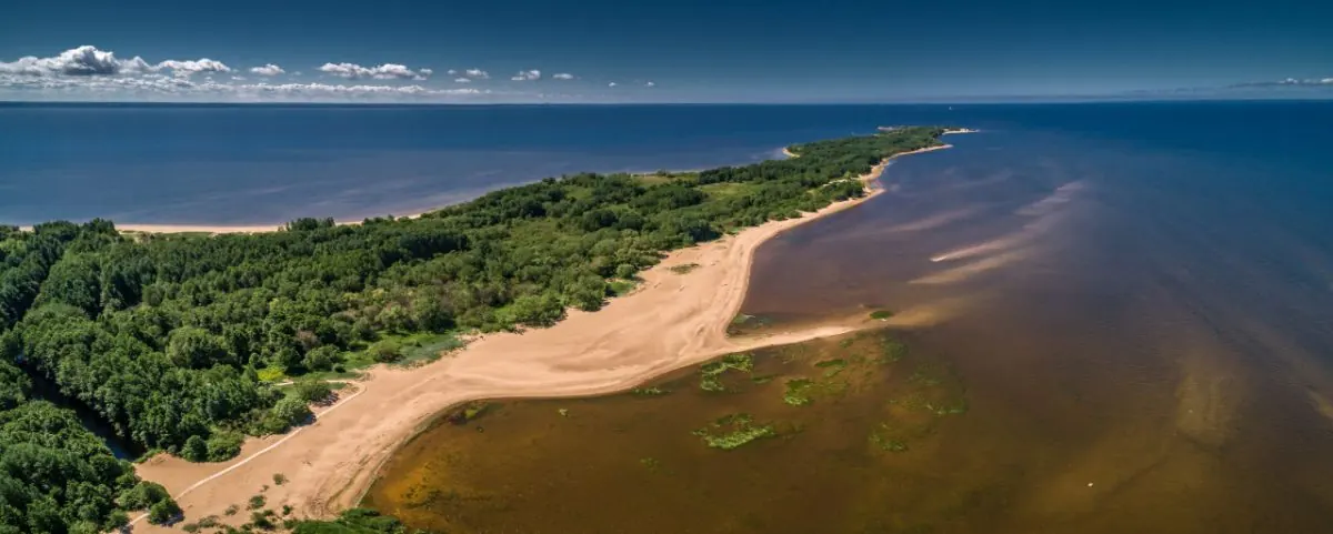
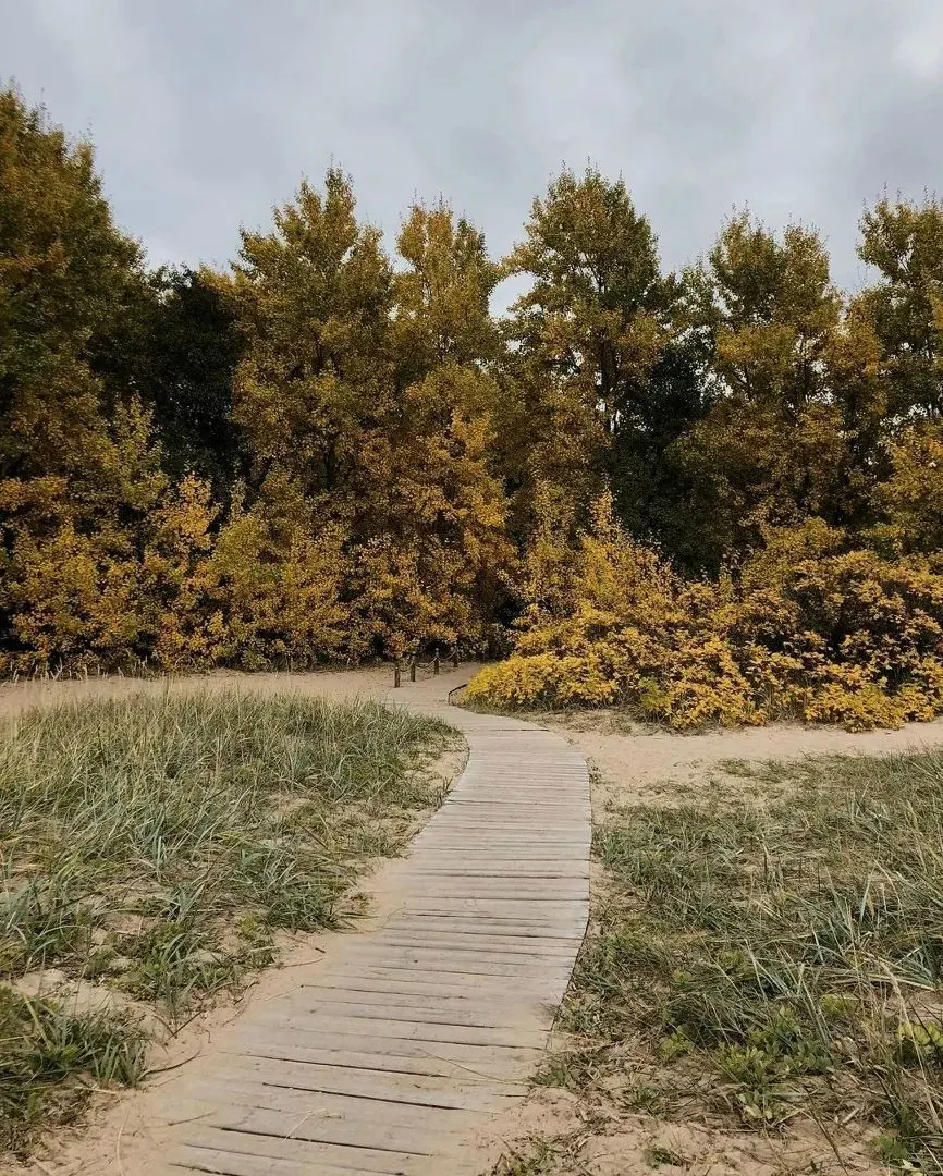
Sandy beaches and raised shoreline ridges
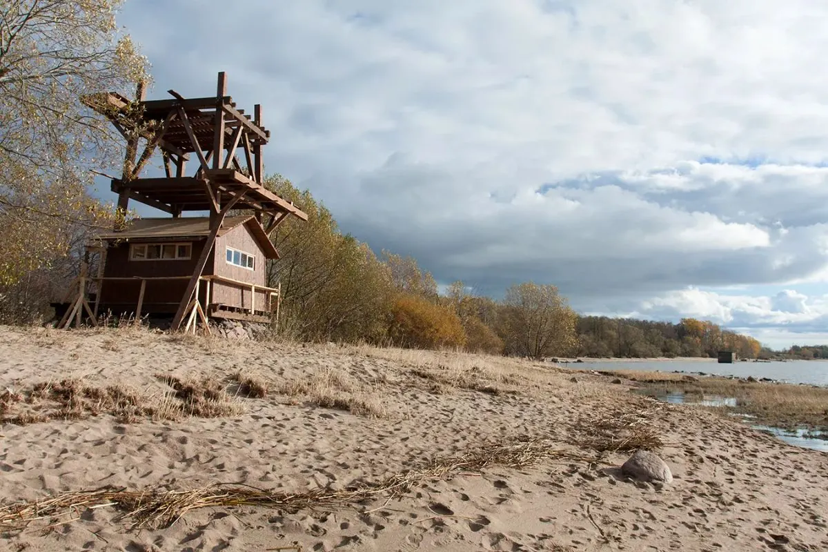
Shallow waters used by migrating birds
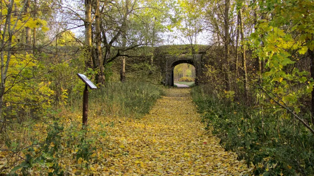
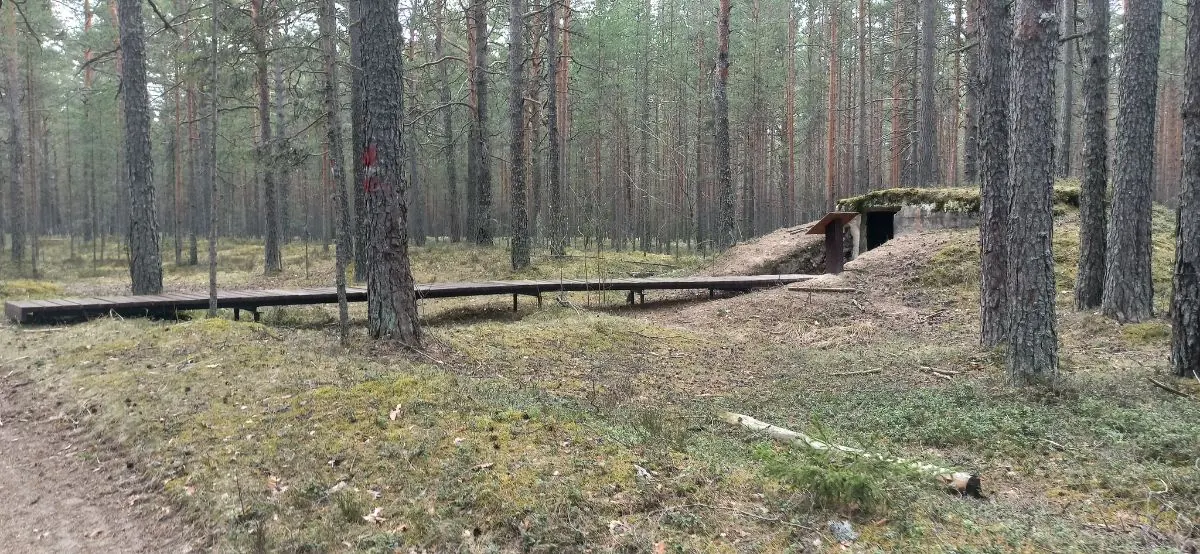
Remains of the fortress railway
The western tip of Kotlin Island
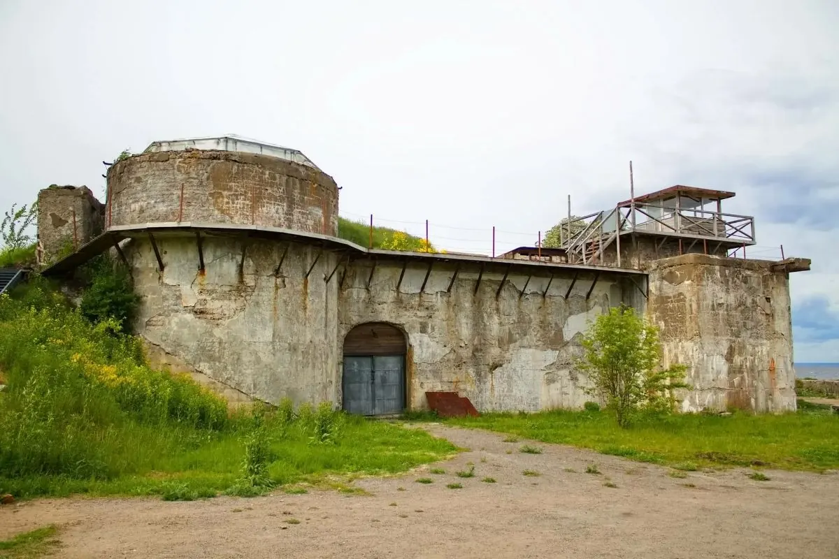
Fort Rif as a separate museum attraction
 Difficult sections and safety
 How much time to allow
Расчёт учитывает дистанцию и набор высоты. Добавьте запас на отдых, погоду и навигацию.
Best time to go
May to September is the most comfortable period. Cold coastal wind is possible even in summer, while spring and autumn paths can be wet. Seasonal flooding may affect parts of the trail from mid-October to December.
A winter visit is possible in calm weather, but shoreline stones and concrete surfaces become particularly slippery in ice.
What to bring
footwear suitable for sand, soil and wet stones
a windproof and waterproof layer
water and food
 binoculars for birdwatching
a phone with the GPX and offline map
a power bank
a torch for museum spaces if permitted by the rules
a ticket or confirmation of the Fort Rif opening schedule
binoculars for birdwatching
a phone with the GPX and offline map
a power bank
a torch for museum spaces if permitted by the rules
a ticket or confirmation of the Fort Rif opening schedule
FAQ
Questions before the trip
Can I do this route without a car?
Take a bus from St Petersburg to Kronstadt, then change to a local service toward the terminal stop at Fort Shants. Route numbers and intervals may change, so check them before departure. The official Western Kotlin trail starts conveniently near the stop. Fort Rif can be reached on foot using the extended GPX, subject to the museum opening hours
Is this route suitable for children?
Assess the route by length, difficulty, and elevation gain. If you go with children, allow more time and choose a calm pace.
Can I download GPX and KML?
Yes, GPX and KML are available on the route page. Open the map, download the file, and use it in a navigator before your trip; key route facts: 6.7 km, moderate.
Route photos
9 photos
 7.6 km
Обсуждение
Комментарии 0
Войдите, чтобы читать обсуждение и оставлять комментарии.
Можно задать вопрос о маршруте, покрытии или поделиться своим опытом.