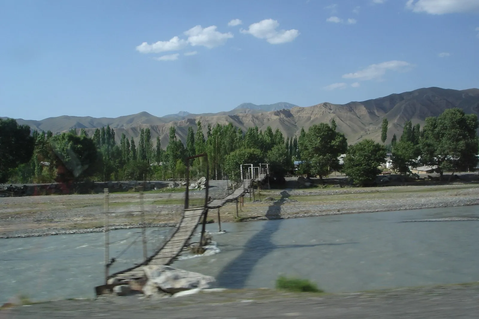



From Buyga over the Pass to Josholu and Gulcho
- Distance
- 37.5 km
- Estimated moving time
- 11 h 49 min
- Elevation gain
- 488 m
- Difficulty
- Hard




 Open on map
 Download route
Route description

Route status
Проверяем свежесть данных по треку и учитываем сообщения сообщества
Запретов на посещение и пожаров рядом нет
Проверяем спутниковые данные о пожарах и предупреждения по региону.
Подробнее о состоянии маршрута No recent trail condition reports


The description, logistics and points of interest were prepared using maps and open sources. Trail conditions may change.
Imported from ROUTES2.zip; source https://www.openstreetmap.org/relation/19851239

Before travelling, check trail access, restrictions and the weather forecast.

Conditions may have changed. Share a report after completing the route.

Recent completions
Be the first to confirm a completion and help other travellers.
Elevation profile
There is no elevation data in the track for the chart.
Before you go
Всё важное о маршруте
 Route at a glance
Главное за минуту
- Length
- 37.5 km
- Elevation gain
- 488 m
- Surface
- Нет данных




 Route suitability
Кому будет комфортно
 Nearby
Getting there
Варианты и важные моменты
 Show on map

 Without a car
 By car
 Parking
Электрички туда и обратно
Расписание на дату и время, до которого нужно выйти на маршрут
 What to expect
Places

 Difficult sections and safety
На что обратить внимание
Elevation gainСуммарный набор высоты — 488 м.
SurfaceТип покрытия пока не определён.
 Риски
Check the entire passage and a safe finish on the far side. Delay mountain sections in fog or thunderstorms; strong flow or unstable banks may require a new plan. Watch for vehicles on roads and livestock and dogs near pastures. Treat drinking water and do not make overnight arrangements dependent on an invitation from strangers.
Риски
Check the entire passage and a safe finish on the far side. Delay mountain sections in fog or thunderstorms; strong flow or unstable banks may require a new plan. Watch for vehicles on roads and livestock and dogs near pastures. Treat drinking water and do not make overnight arrangements dependent on an invitation from strangers.
 How much time to allow
Оцените свой темп
 Расчётное время в пути
11 h 49 min
Расчётное время в пути
11 h 49 min
 С запасом на остановки
+ 30–60 мин
С запасом на остановки
+ 30–60 мин
 Plan | A multi-day walking journey As a preliminary allowance, reserve 3–4 walking days with stops and overnight arrangements, plus weather and logistical reserve. This is an editorial estimate for this itinerary rather than an organiser’s schedule. Calculate initial access and final collection separately.
 Best time to go
Сезонность и рекомендации



 What to bring
Базовый список для комфортного похода




FAQ
Questions before the trip
Can I do this route without a car?
No scheduled service directly to the precise start and finish has been confirmed. Arrange drop-off and collection with a local host. If arriving on foot from a neighbouring section, include the approach, overnight needs and room for a changed plan
Is this route suitable for children?
Do not treat this as a basic child-friendly route: check difficulty, length, and trail conditions before going.
Can I download GPX and KML?
Yes, GPX and KML are available on the route page. Open the map, download the file, and use it in a navigator before your trip; key route facts: 37.5 km, hard.
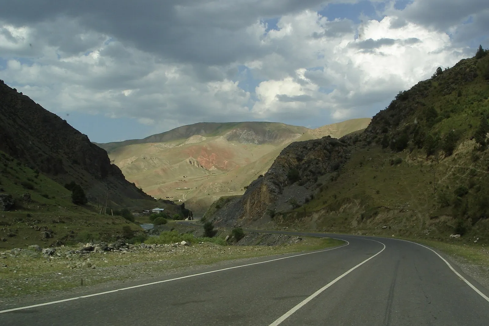
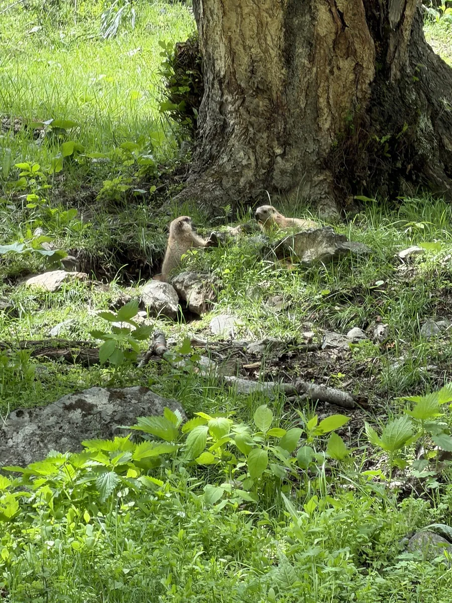
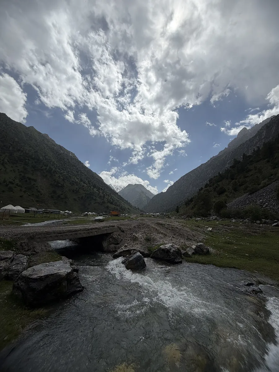
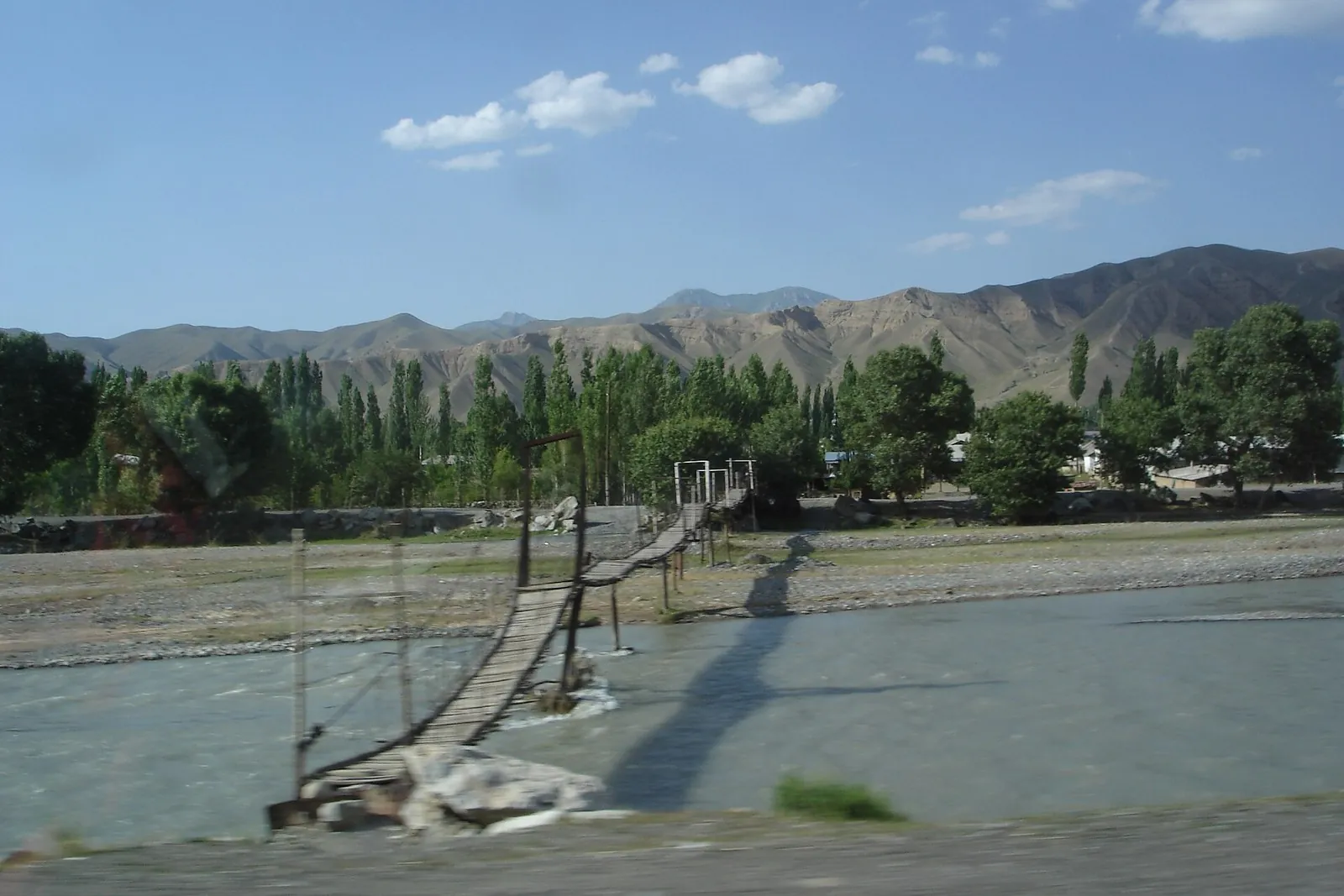
Route photos
3 photos
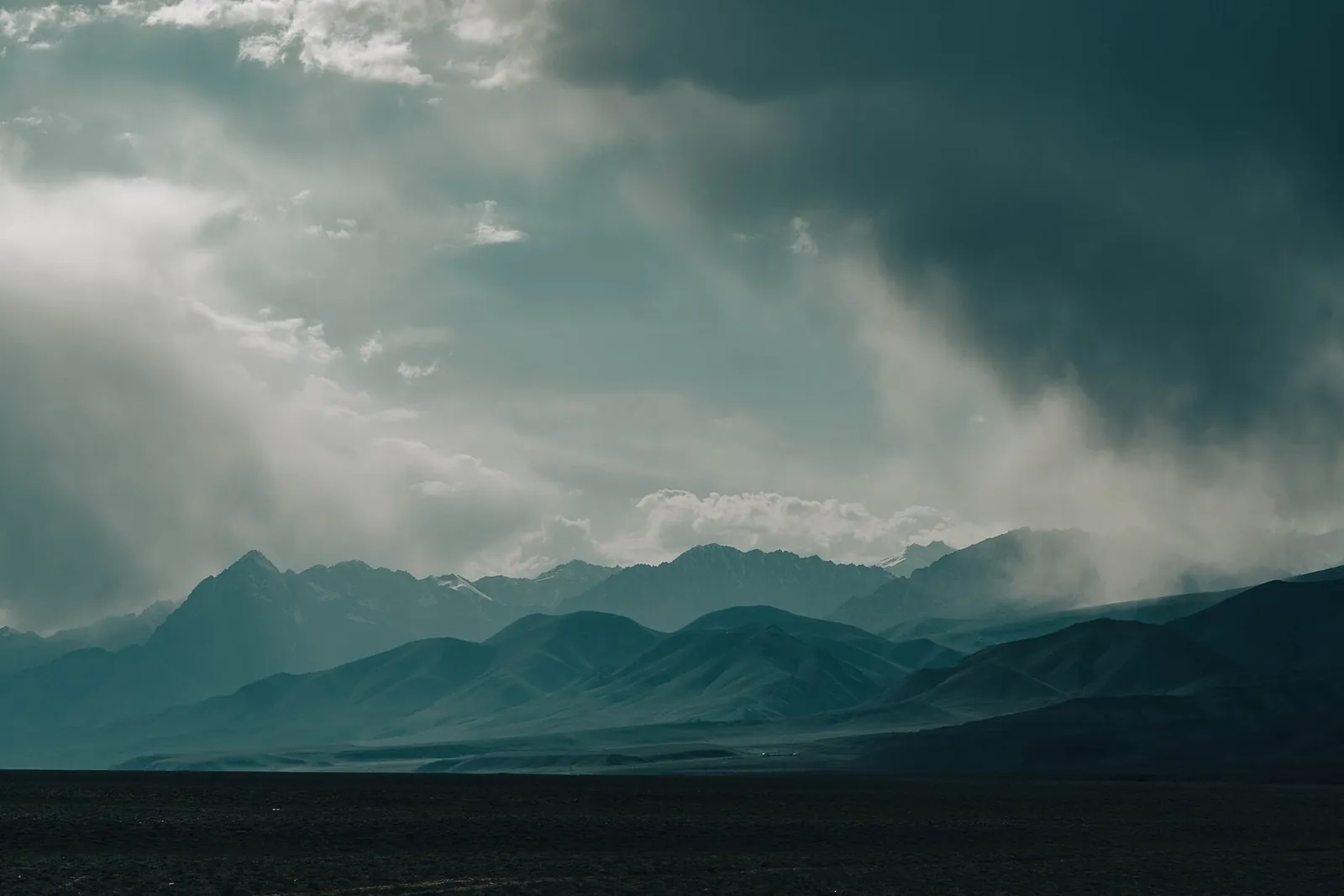
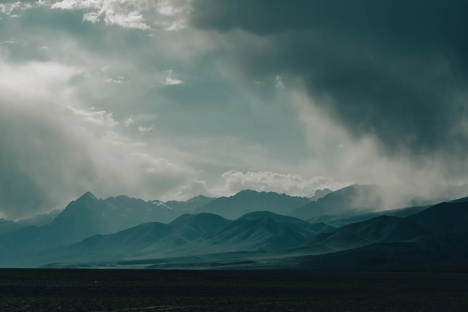
Discussion
Comments 0
Log in to read the discussion and leave comments.
Ask about the route or its surface, or share your experience.