Elevation profile
There is no elevation data in the track for the chart.

No access bans or fires nearby
We check satellite fire data and regional warnings.
This route was added from a track. Individual sections have not been checked in the field.
Before travelling, check trail access, restrictions and the weather forecast.
Conditions may have changed. Share a report after completing the route.
Be the first to confirm a completion and help other travellers.
The time can vary with your pace, the weather and photo stops.
Seasonal conditions have not been checked by our editors yet. Check the weather and the state of the trails before you go.
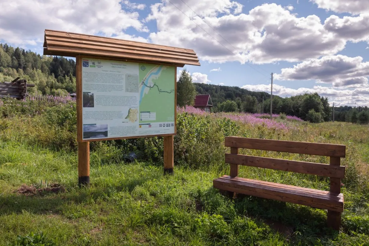
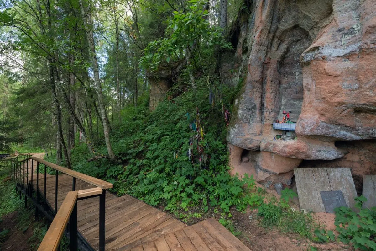
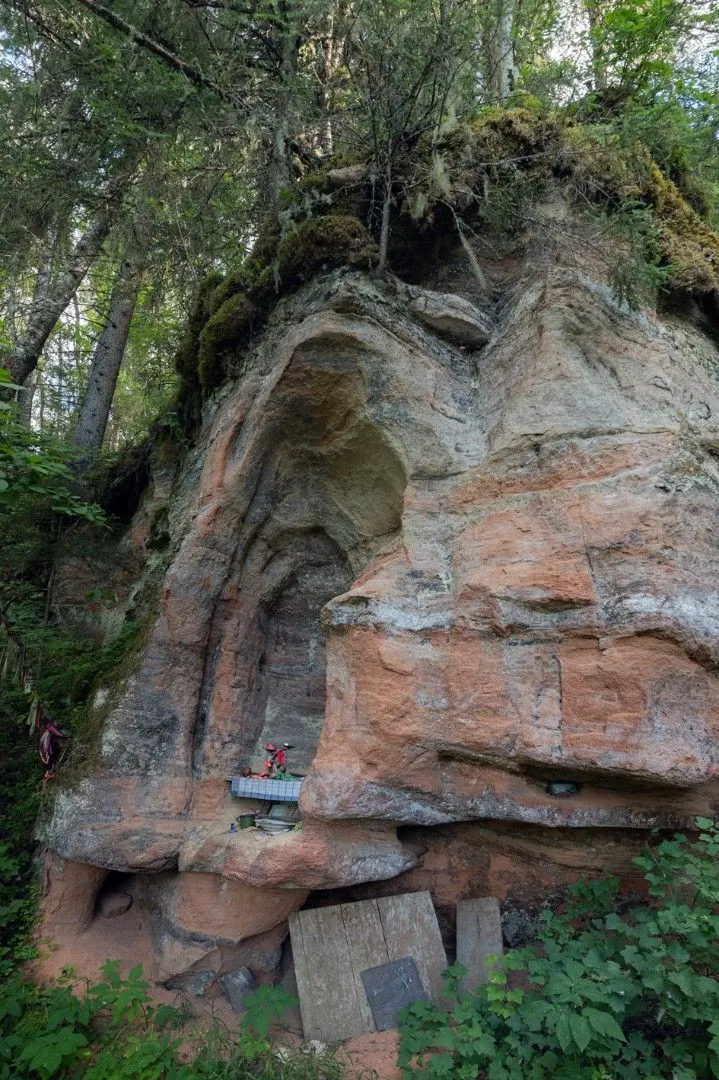
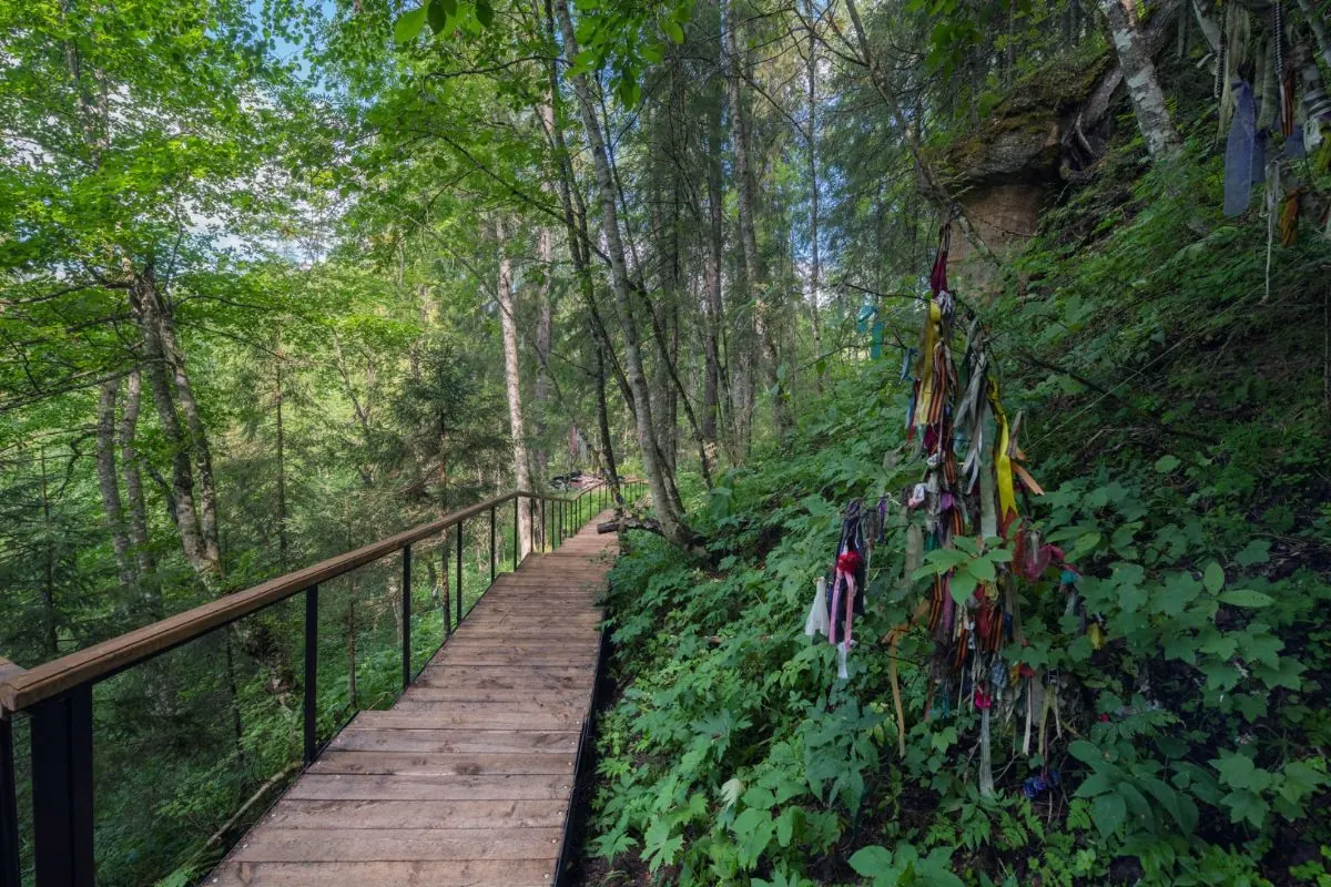
Информационный стенд "Святой камень"
Святой камень
Point-to-point
Probably not: this route is easier by car or taxi, especially if you do not have much spare time.
Possible with caution: review the surface, difficult sections, and extra time for stops in advance.
Yes, GPX and KML are available on the route page. Open the map, download the file, and use it in a navigator before your trip; key route facts: 1.0 km, easy.
Leningrad Region
Untitled
2.6 km↑ 24 mEasy
From track data
Leningrad Region
Kurgolovo Ethnographic Trail: Lake Swings and Return to the Botanist Post
2.7 km↑ 46 mEasy
Prepared
Leningrad Region
Shimpalatovskoye Lake from Ladoga Park: Northern Approach, Wings Artwork and Woodland Return
3.0 km↑ 21 mEasy
Prepared
Leningrad Region
Forest Tales: Svetloye Lake via Devil’s Bridge and the Hut
2.0 km↑ 39 mEasy
Prepared
Leningrad Region
Taitsy Estate Exteriors: A Circuit by the Manor, Gothic Gates and Cascade
2.3 km↑ 33 mEasy
Prepared
Leningrad Region
Tosnensky Waterfall from the Northern Entrance: Short Circuit with Timber Steps
1.0 km↑ 14 mEasy
Prepared
Reviews and questions 0
Log in to read the discussion and leave comments.
Ask about the route or its surface, or share your experience.