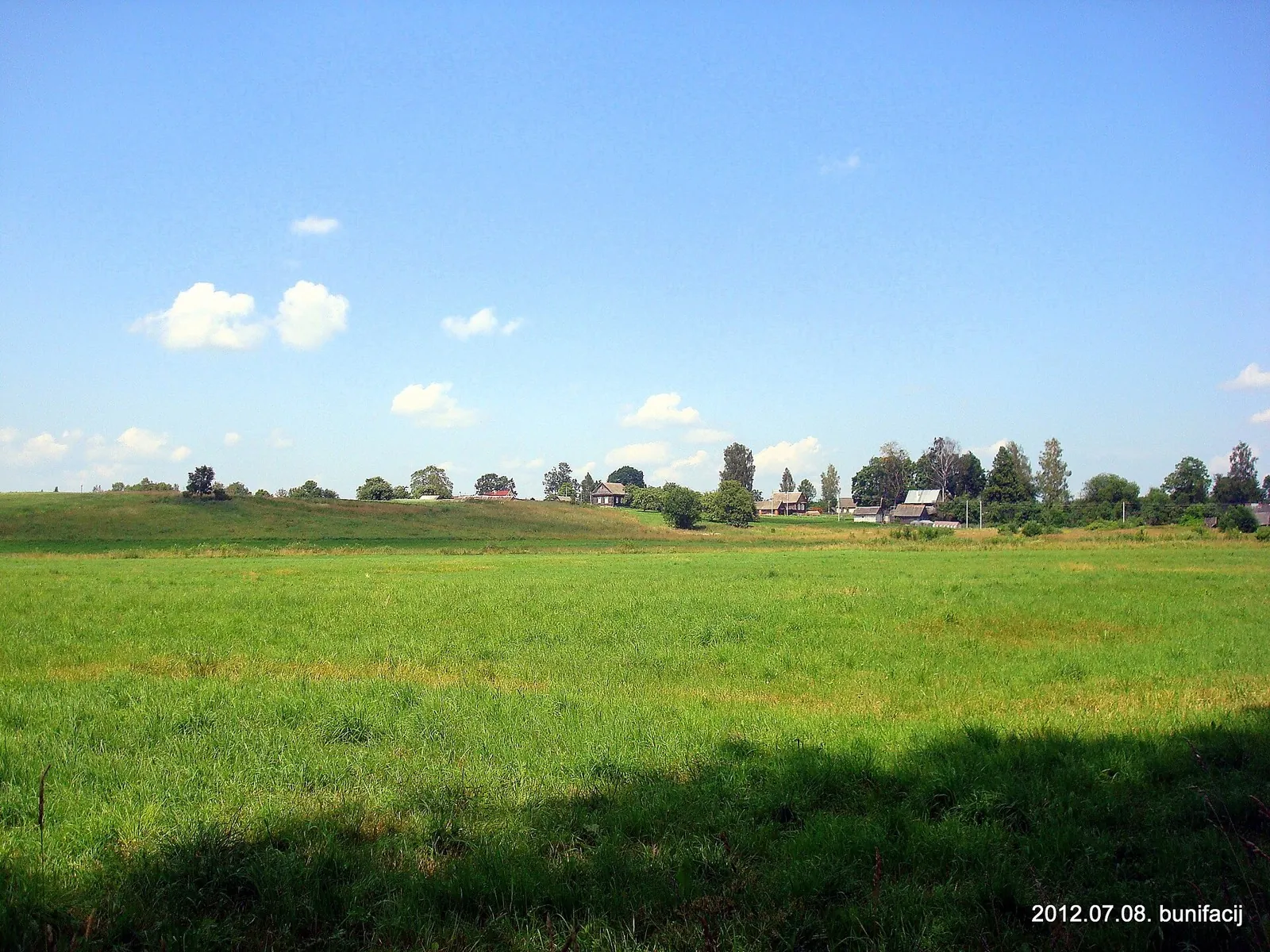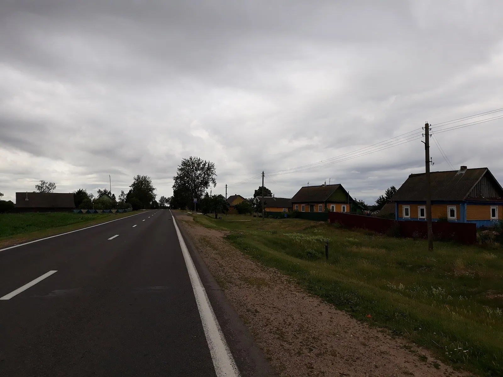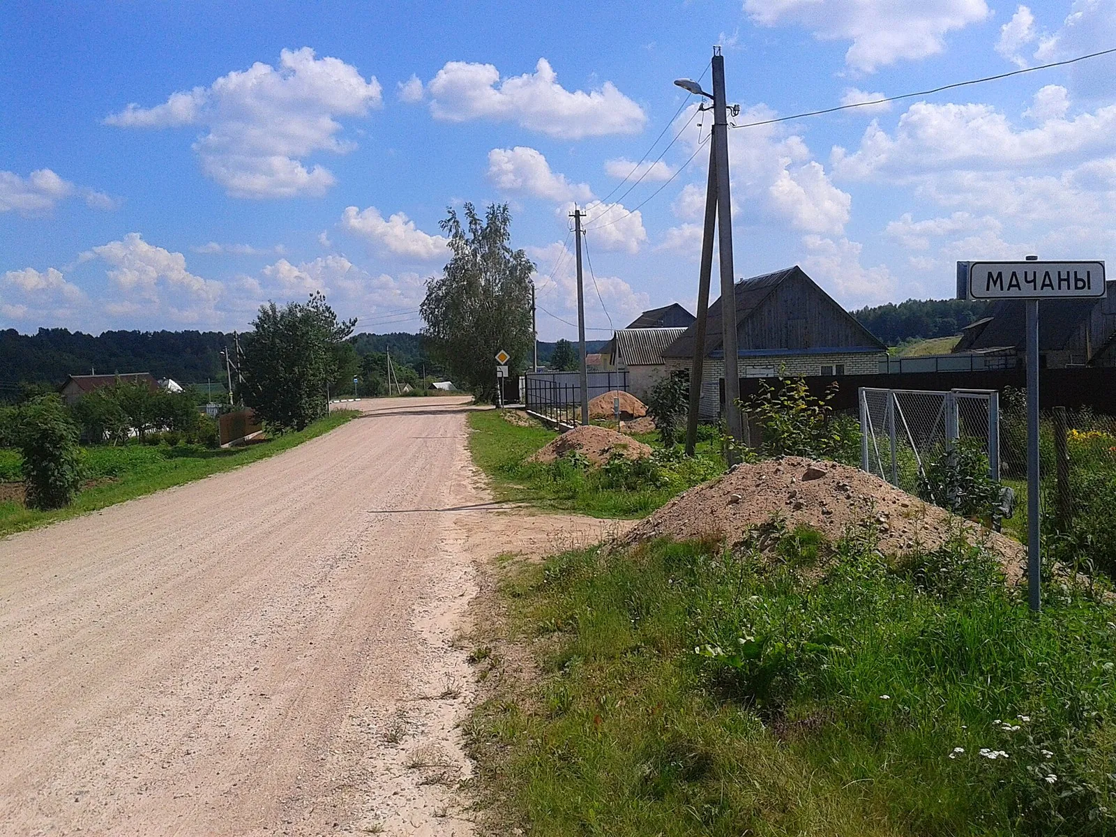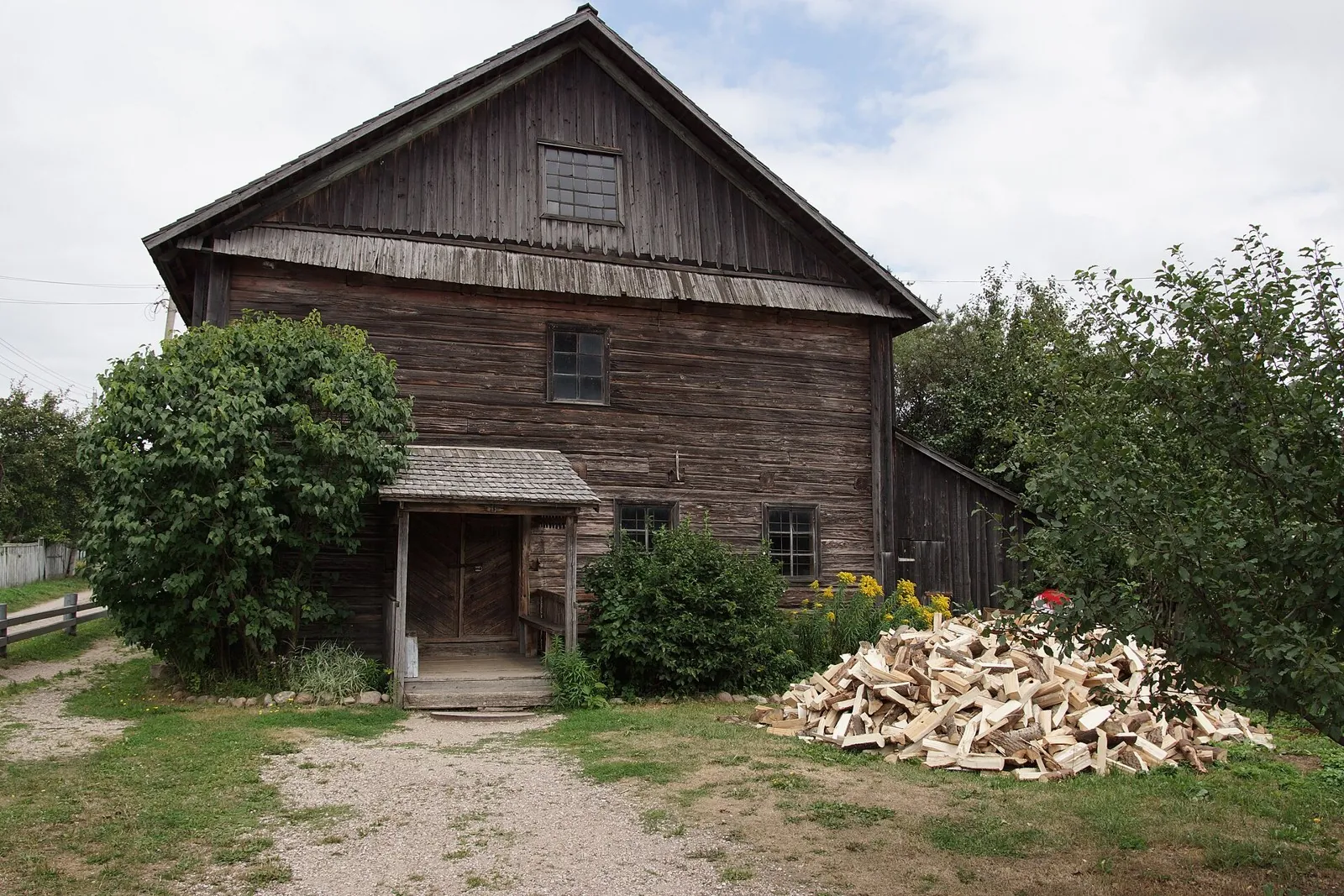


Smorgon: Zaslavl
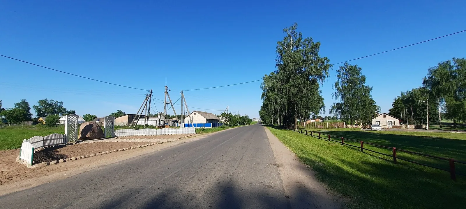
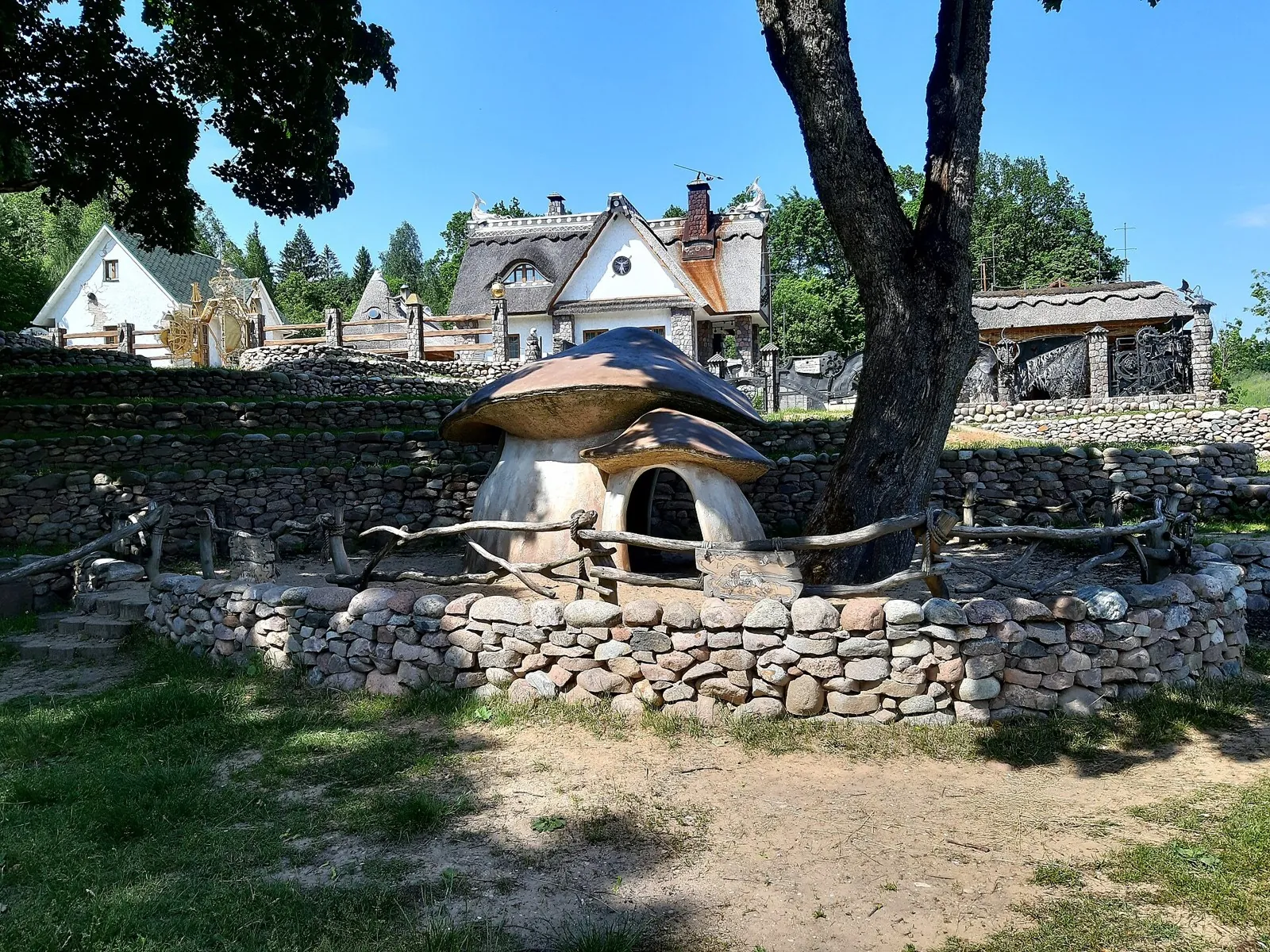
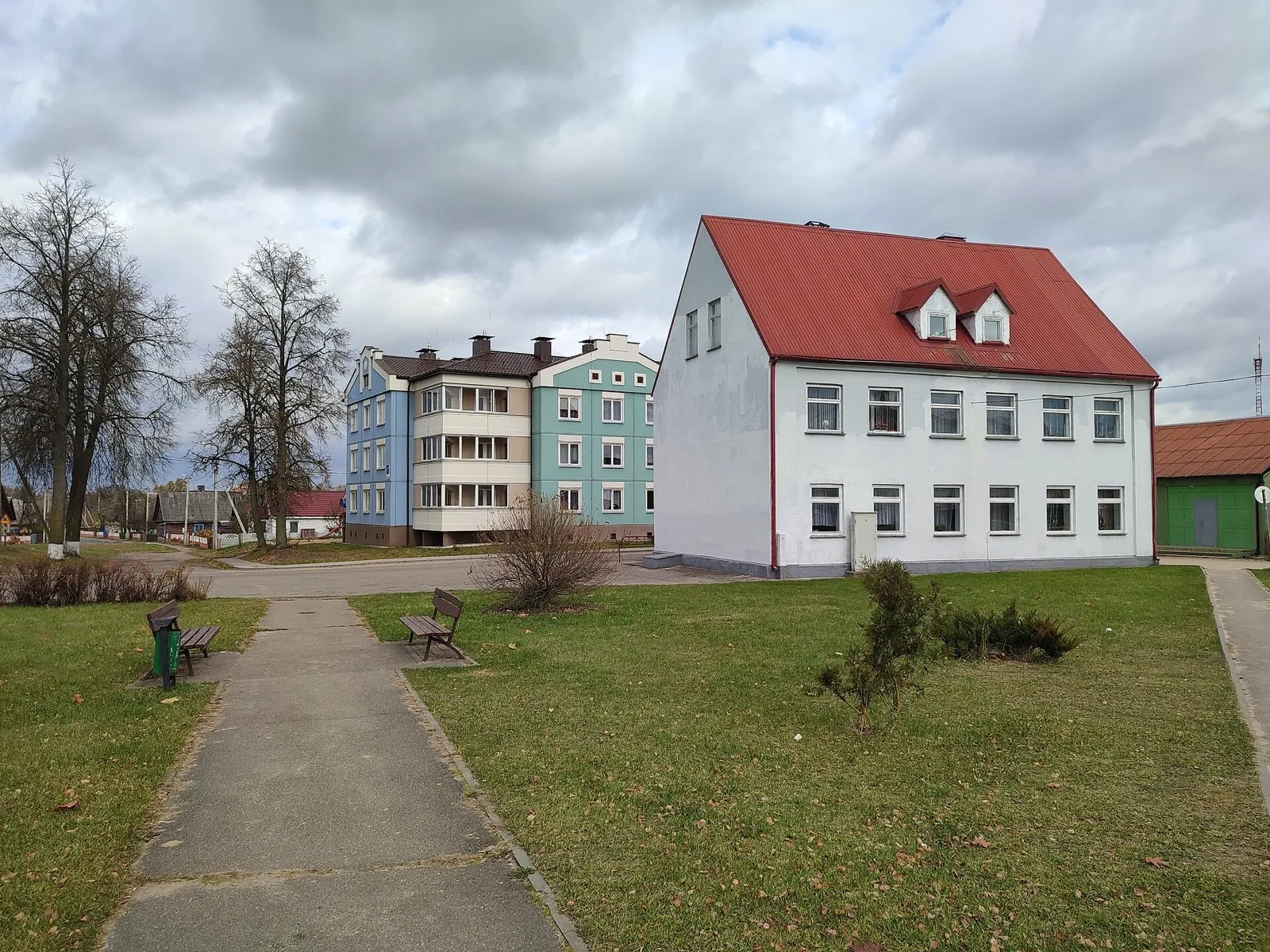
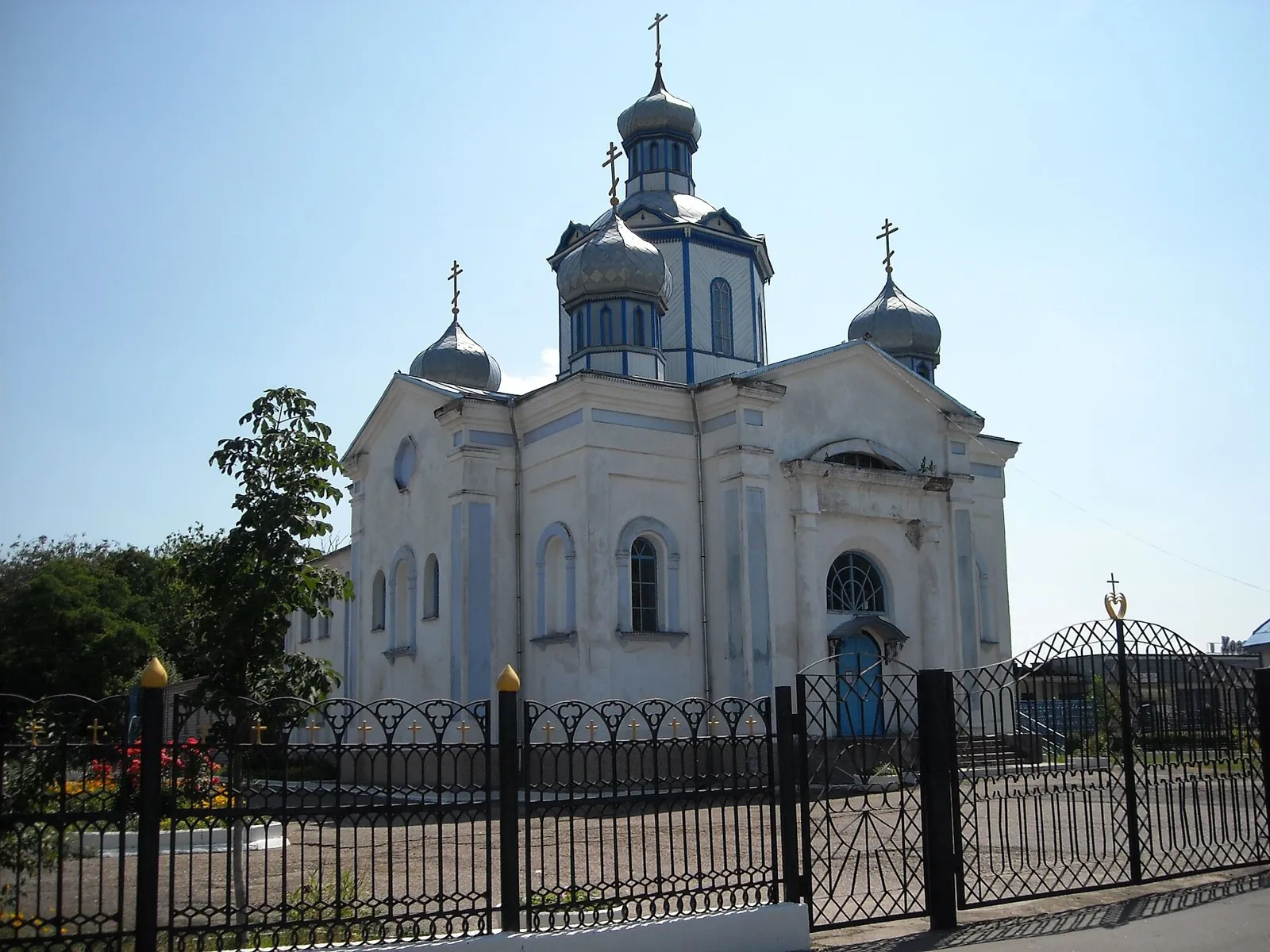
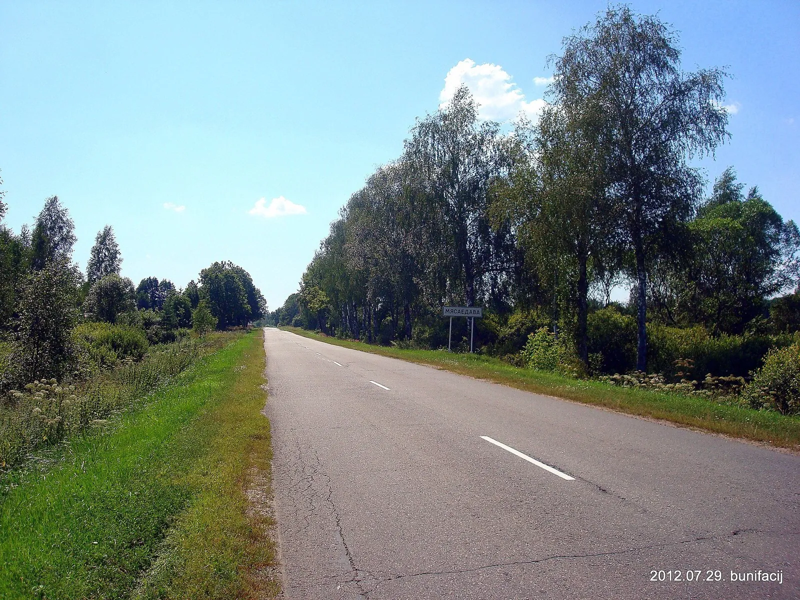
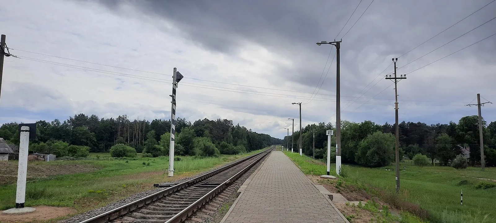
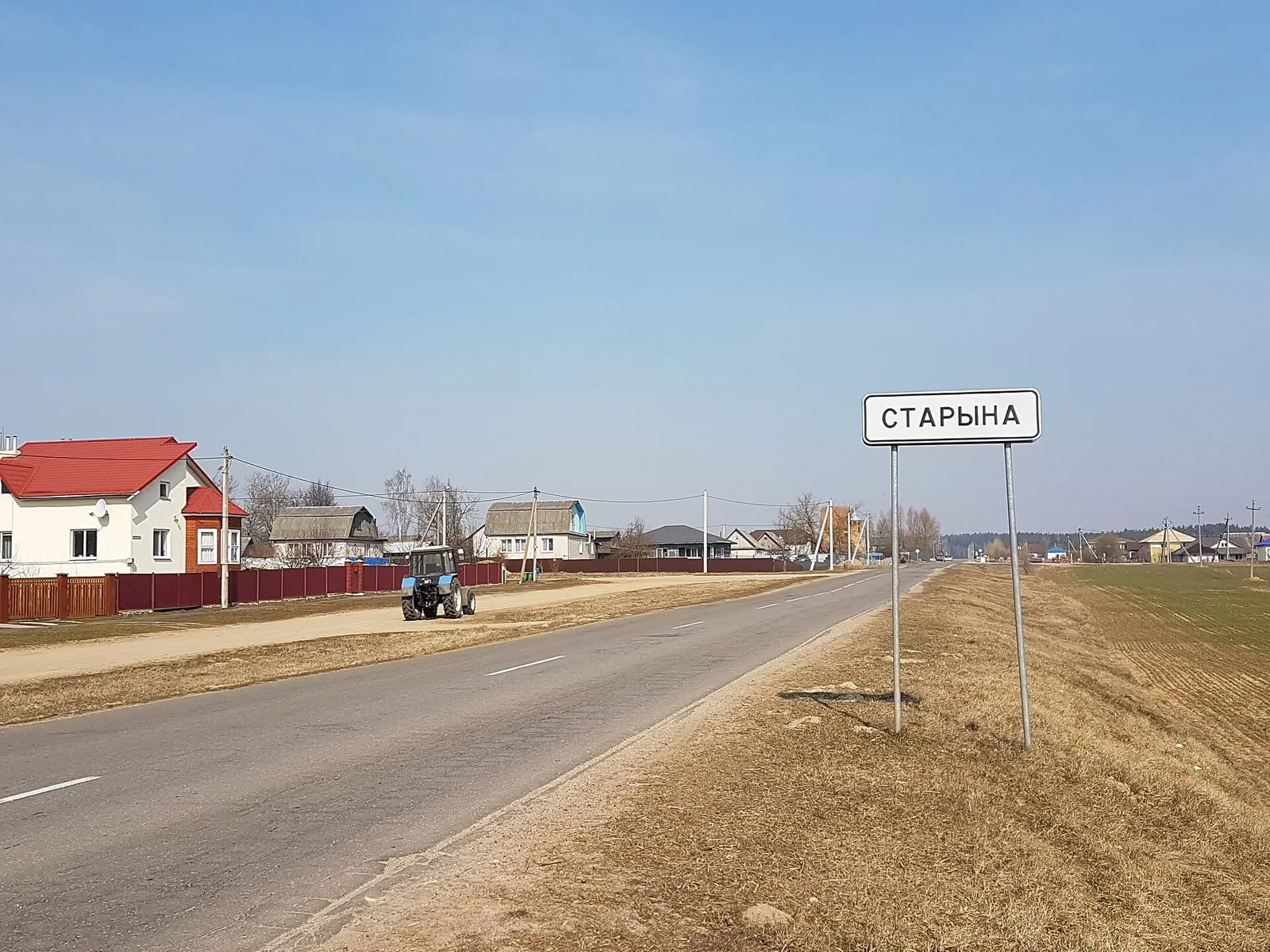
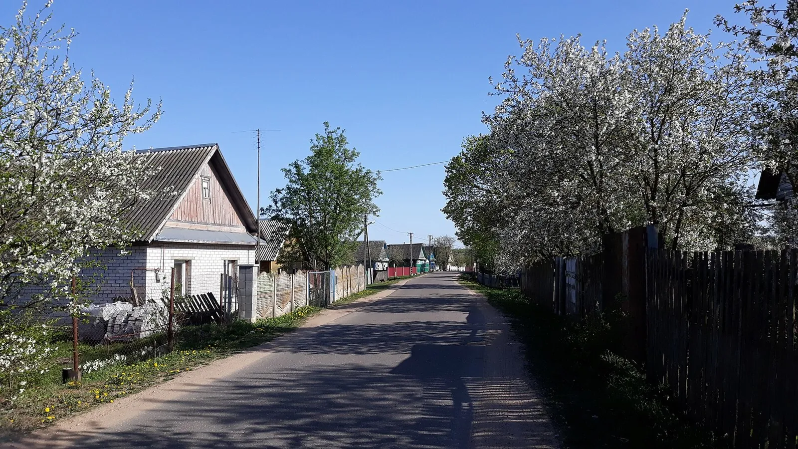
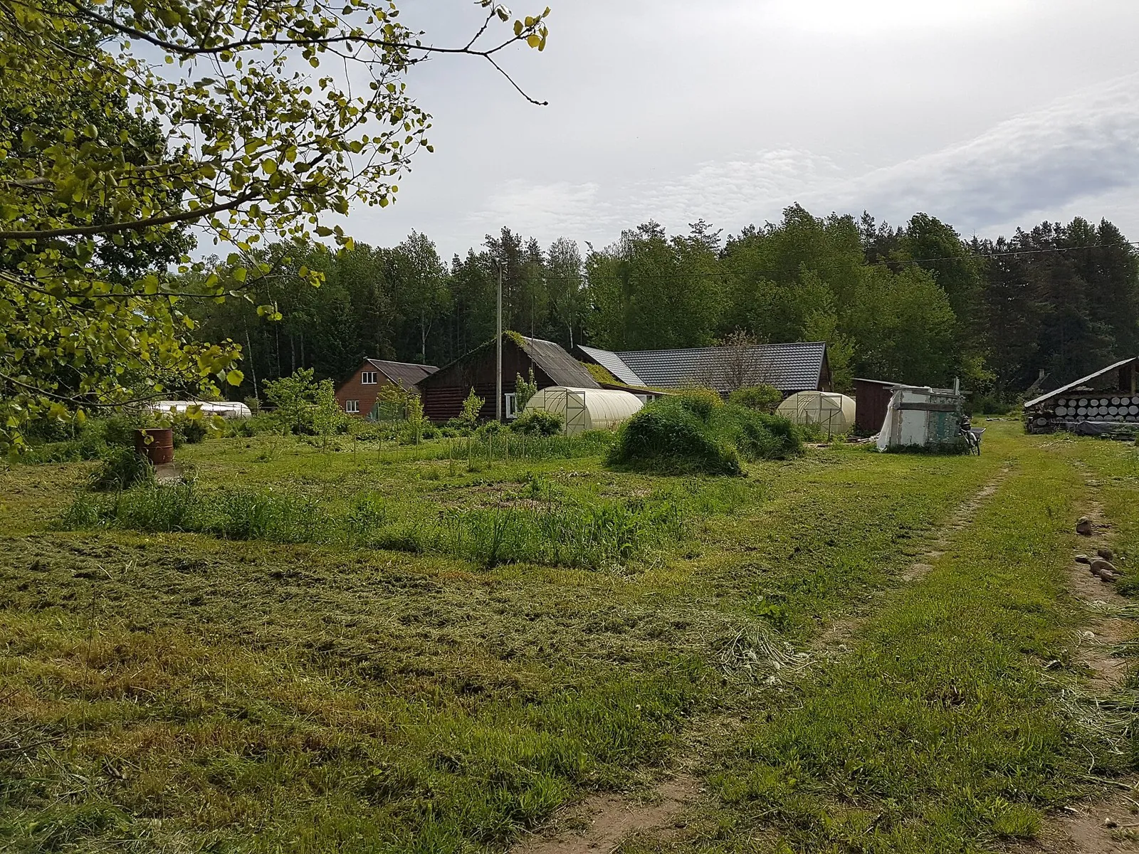
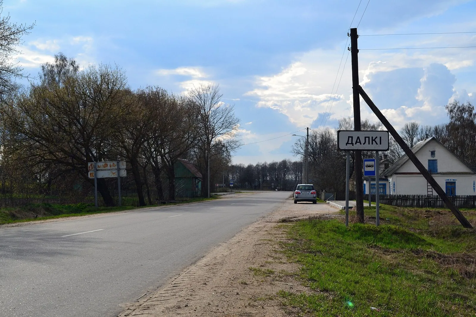
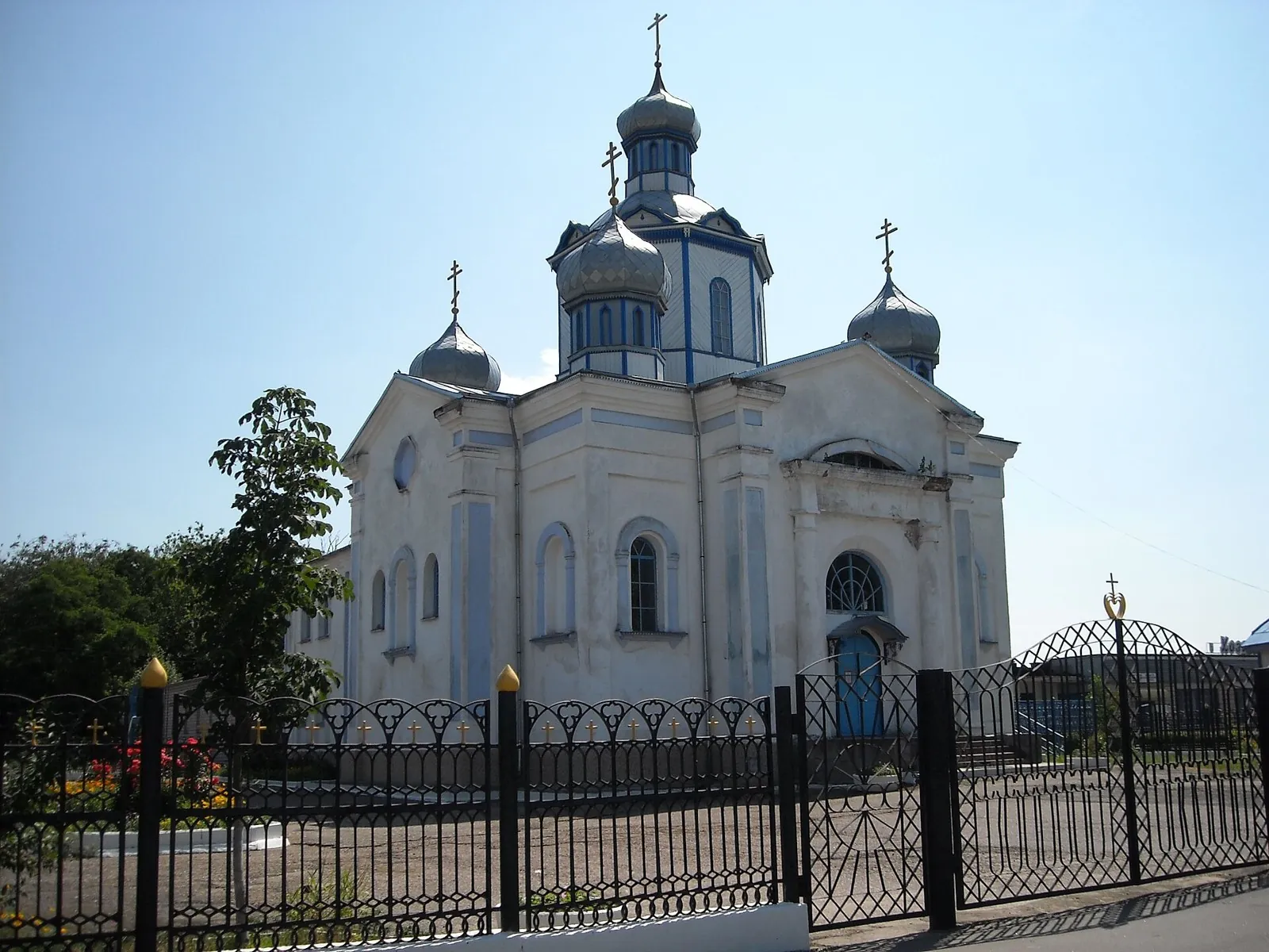
The recorded line is a 120.81 km point-to-point walking route, with woodland is one of the route's main features. Gentle …

Route catalog
Longer tracks for a strong day or a multi-day trip.
Найдём подходящие маршруты по вашим интересам, локации и условиям
Подборка TrailTrack
This collection brings together TrailTrack routes connected with Long routes. Use it when you want to compare routes by distance, difficulty, region, route type and access before opening a detailed route page.
Each route card includes a map, key metrics, description and GPX/KML. Check weather, season and logistics before heading out.
Found 864 routes
Curated: 864 · Community tracks: 0
The recorded line is a 120.81 km point-to-point walking route, with woodland is one of the route's main features. Gentle …
Expect woodland is one of the route's main features on this 200.17 km circular cycling route. Gentle terrain: 267 m of to…
This 305.28 km point-to-point cycling route passes through terrain where woodland is one of the route's main features. Ge…
This 608.71 km circular cycling route passes through terrain where woodland is one of the route's main features. Gentle t…
Woodland is one of the route's main features along this 50.76 km point-to-point cycling route. Gentle terrain: 304 m of t…
Woodland is one of the route's main features along this 1006.57 km point-to-point cycling route. Gentle terrain: 328 m of…
Expect woodland is one of the route's main features on this 207.15 km point-to-point cycling route. Gentle terrain: 394 m…
The recorded line is a 397.61 km point-to-point cycling route, with the route includes sites with cultural context. Gentl…
Woodland is one of the route's main features along this 405.56 km point-to-point walking route. Gentle terrain: 192 m of …
Shore or waterside sections are recorded on the route along this 404.46 km point-to-point cycling route. Gentle terrain: …
The recorded line is a 24.87 km circular cycling route, with shore or waterside sections are recorded on the route. Gentl…
This 200.25 km circular cycling route is shaped by its terrain, surface and pace rather than a single landmark. Gentle te…
This 403.29 km circular cycling route is shaped by its terrain, surface and pace rather than a single landmark. Gentle te…
This 202.46 km circular cycling route is shaped by its terrain, surface and pace rather than a single landmark. Gentle te…
This 1202.87 km point-to-point walking route is shaped by its terrain, surface and pace rather than a single landmark. Ge…
This 405.73 km point-to-point walking route is shaped by its terrain, surface and pace rather than a single landmark. Gen…
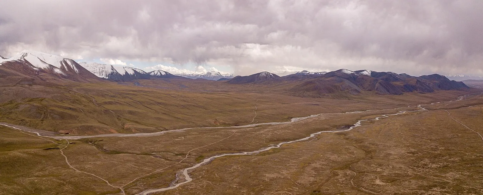
Follow Djukuchak valley towards the glacial Terskey Ala-Too divide and emerge on the southern side near the Arabel syrts.…
Connect Kichi-Kyzyl-Suu with Djukuchak through the Jumatai Valley and continue towards upper Terskey. It lets you experie…
To follow the Isfayram-Say from the Tegermetch to the Kaindy, passing the Surmatash mouth. These river junctions give a u…
Ride two contrasting regional sides with an intermediate Lida return. Northern churches give way to roads towards Mosty; …
See western Belarus change beyond Grodno, from Kobrin’s cathedral to Pinsk’s old urban buildings and the palace heritage …
Shore or waterside sections are recorded on the route along this 200.51 km point-to-point cycling route. Gentle terrain: …
Woodland is one of the route's main features along this 603.55 km circular cycling route. Gentle terrain: 388 m of total …
This 199.81 km circular cycling route passes through terrain where woodland is one of the route's main features. Gentle t…
Pick where to start
Share a trip