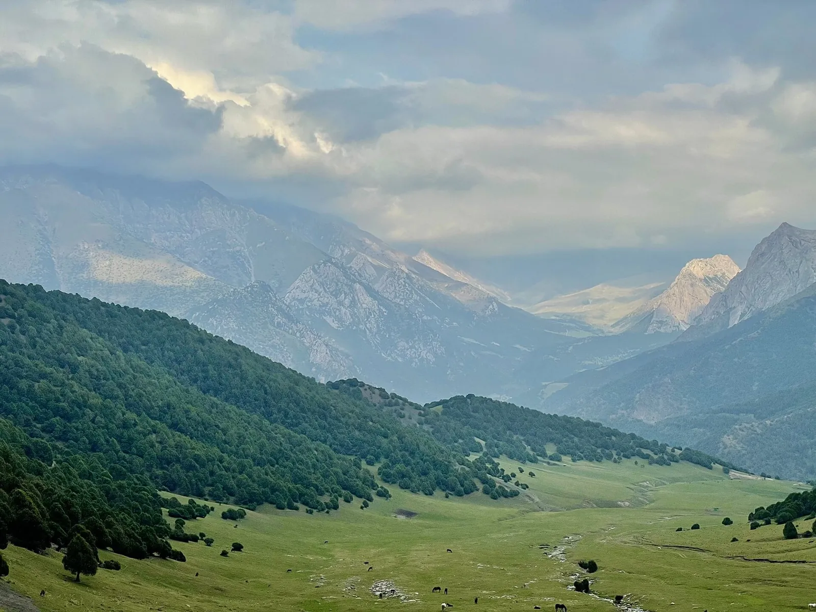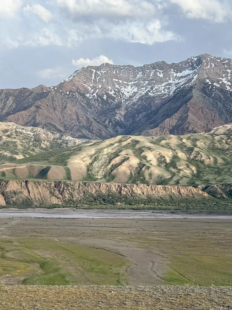
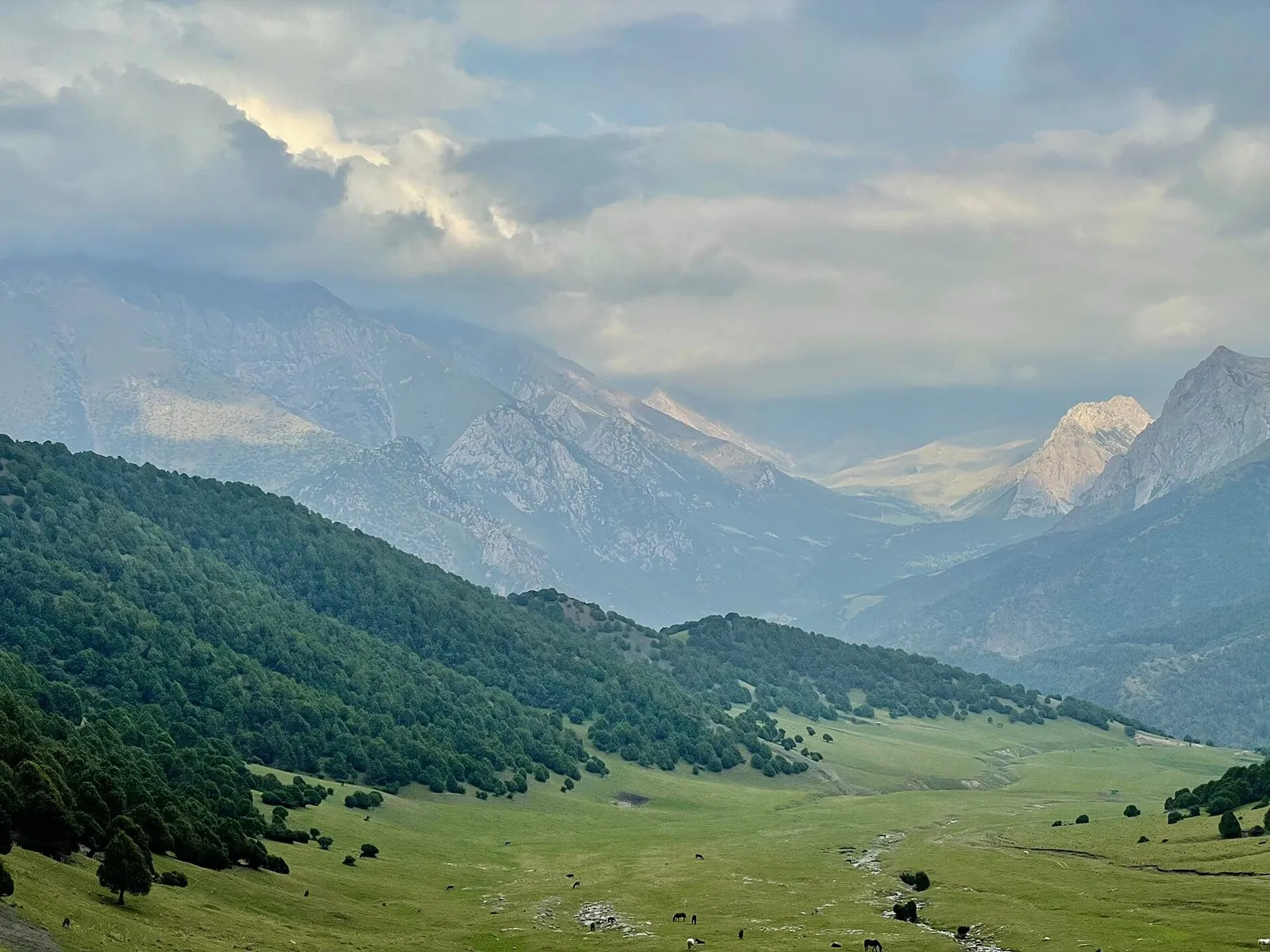


Pass 3280m
Expect roughly 8.2 km of high-mountain travel. The format is point-to-point, and Agart is the starting reference. Use Ag…

Регион TrailTrack
Routes in Ошская область: maps, route details, difficulty, photos and GPX/KML downloads for planning your trip.
Подборка
Expect roughly 8.2 km of high-mountain travel. The format is point-to-point, and Agart is the starting reference. Use Ag…
The route covers about 4.3 km as a point-to-point hiking route, with Agart as the most useful starting reference. Use Ag…
Expect roughly 16.0 km of high-mountain travel. The format is point-to-point, and Suu Tushtu Jayloo is the starting refer…
This is a point-to-point hiking route of about 32.0 km. The clearest starting reference is Кочкорчу. Use Кочкорчу as the…
This is a point-to-point hiking route of about 9.9 km. The clearest starting reference is Ара-Кол. Use Ара-Кол as the st…
Материалы