Dinamo Forest Cycling Circuit
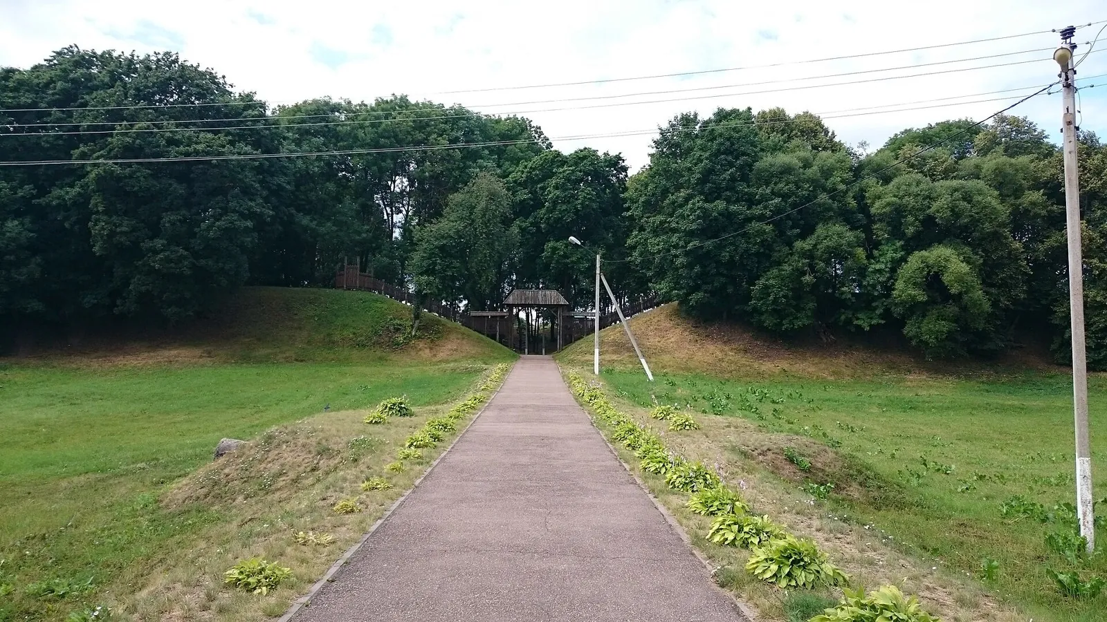
Woodland is one of the route's main features along this 4.2 km circular cycling route. Rolling terrain: 40 m of total ascent over 4.2 km. Estimated moving time is about 0.6 hours; add time for pauses and navigation.
Маршруты с подготовленным описанием, сложностью, покрытием и планированием визита.
Woodland is one of the route's main features along this 4.2 km circular cycling route. Rolling terrain: 40 m of total ascent over 4.2 km. Estimated moving time is about 0.6 hours; add time for pauses and navigation.
Mapped stops at Spring add clear points of interest along the way. Forest sections: woodland is one of the route's main features. Gentle terrain: 85 m of total ascent over 90.42 km. Surface: asphalt plus improved surface.
This is a 39.93 km circular cycling route with a complete recorded line to follow from start to finish. Gentle terrain: 150 m of total ascent over 39.93 km. Surface: natural ground. Estimated moving time is about 3.8 hours; add time for pauses and navigation.
Choose this ride to explore the forest as a landscape with a human history. Old trees, a wetland locality and a former timber railway provide distinct reasons to pause. Cycling connects the stops while leaving time for a closer look.
Shore or waterside sections are recorded on the route along this 602.62 km point-to-point cycling route. Gentle terrain: 215 m of total ascent over 602.62 km. Surface: asphalt. Allow at least 8 days and verify overnight and exit options independently.
This is a 401.21 km point-to-point cycling route. Shore or waterside sections are recorded on the route. Gentle terrain: 70 m of total ascent over 401.21 km. Surface: asphalt. Allow at least 6 days and verify overnight and exit options independently.
Woodland is one of the route's main features along this 92.75 km circular walking route. Gentle terrain: 698 m of total ascent over 92.75 km. Surface: asphalt plus natural ground. Allow at least 5 days and verify overnight and exit options independently.
This 81.27 km point-to-point walking route passes through terrain where the route includes sites with cultural context. Gentle terrain: 135 m of total ascent over 81.27 km. Surface: asphalt. Allow at least 4 days and verify overnight and exit options independently.
The recorded line is a 297.62 km point-to-point cycling route, with woodland is one of the route's main features. Gentle terrain: 113 m of total ascent over 297.62 km. Surface: asphalt. Allow at least 4 days and verify overnight and exit options independently.
For travellers already in Belarus who have confirmed access to a selected stage, this offers Navahrudak Castle and Minsk’s Drazdy shores within a wider European cycling idea. International entry and a continuous country crossing cannot currently be assumed as ready parts of the programme.
Woodland is one of the route's main features along this 59.28 km point-to-point walking route. Gentle terrain: 174 m of total ascent over 59.28 km. Surface: asphalt. Allow at least 3 days and verify overnight and exit options independently.
The recorded line is a 1.1 km circular walking route, with woodland is one of the route's main features. Gentle terrain: 6 m of total ascent over 1.1 km. Surface: natural ground. Estimated moving time is about 0.5 hours; add time for pauses and navigation.
The recorded line is a 199.7 km point-to-point cycling route, with shore or waterside sections are recorded on the route. Gentle terrain: 103 m of total ascent over 199.7 km. Surface: asphalt. Allow at least 3 days and verify overnight and exit options independently.
The recorded line is a 14.36 km point-to-point walking route, with woodland is one of the route's main features. Gentle terrain: 15 m of total ascent over 14.36 km. Surface: natural ground plus asphalt. Estimated moving time is about 4.2 hours; add time for pauses and navigation.
Visit Drogichin’s Presentation Church and Saint Euphrosyne Church, then continue the encounter with Polesie towns at Resurrection Church in Antopol. The Lyakhovichsky Canal supplies a water episode along this local cycling road.
The Hermit Oak, Tatarskoye Bagno and Turlyuy give the woodland individual identities. Compare an old tree’s shape, a marshy hollow and traces of a forest road, then return to Kamenyuki without arranging a different finish.
Walk beside Pererov Reservoir and the Pererovnitsa River, combining two different water-side stops in a small forest outing. A chance to slow down and explore the Pererov area.
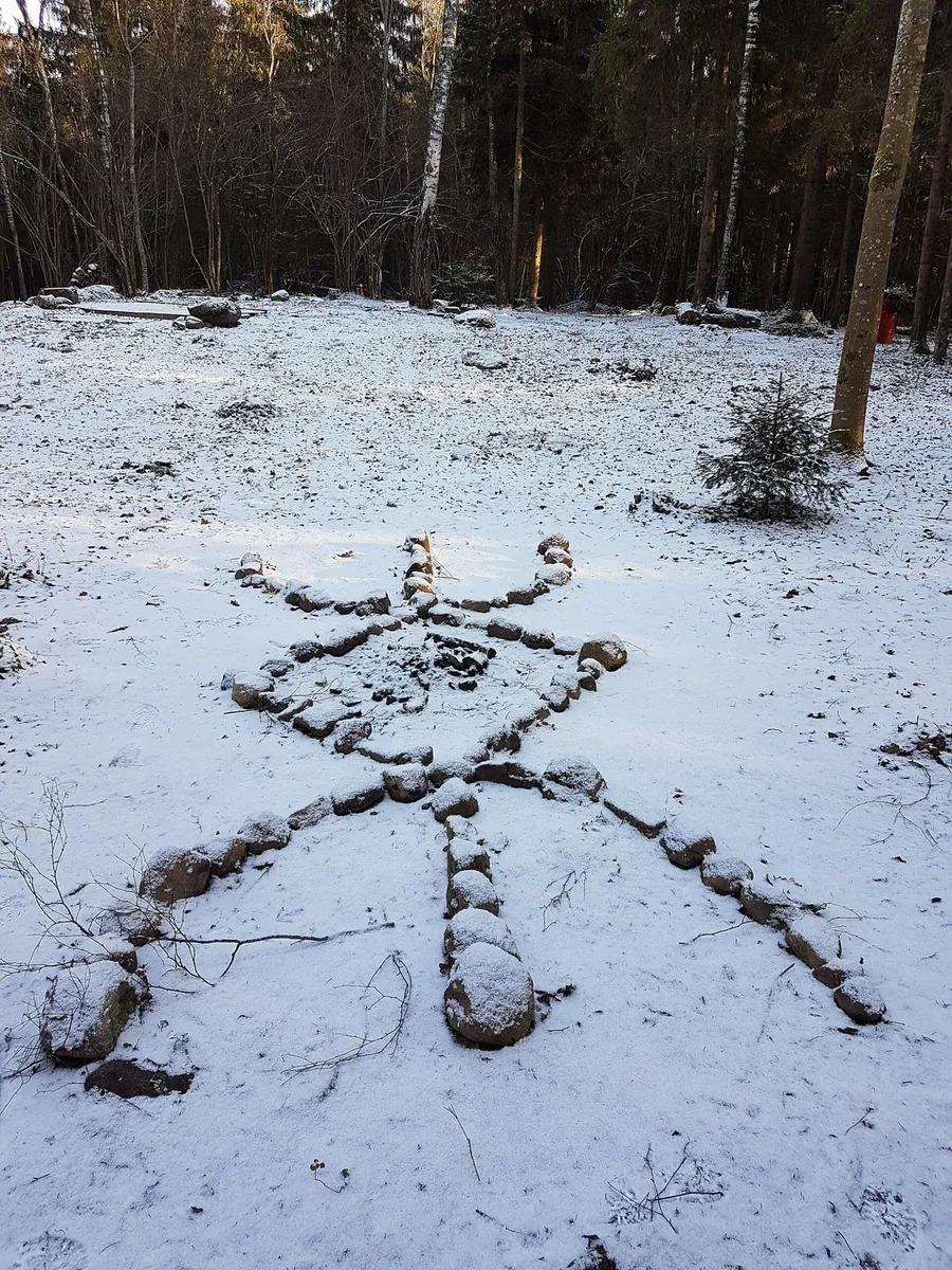
Visit Pagan Grove’s Sacrificial Stone and connect a woodland outing with local stories. A short version centred on one confirmed named place.
The recorded line is a 360.69 km point-to-point walking route, with woodland is one of the route's main features. Gentle terrain: 179 m of total ascent over 360.69 km. Surface: asphalt. Allow at least 16 days and verify overnight and exit options independently.
The track links Ivenetskiy Museum Traditsionnoy Kultury GU, Museum-galereya «Yanushkevichy, Bridge into one continuous outdoor outing. Forest sections: woodland is one of the route's main features. Gentle terrain: 121 m of total ascent over 78.45 km. Surface: asphalt plus compacted ground.
Expect woodland is one of the route's main features on this 2.83 km point-to-point cycling route. Rolling terrain: 50 m of total ascent over 2.83 km. Surface: natural ground. Estimated moving time is about 0.5 hours; add time for pauses and navigation.
Build a Polesie journey around the Yaselda, Pina and church stops in Turov and Petrikov. Butrimovich Palace provides a city episode in Pinsk, while continuing towards Rabkor takes the exploration beyond a single town centre.
Expect shore or waterside sections are recorded on the route on this 45.13 km circular cycling route. Gentle terrain: 80 m of total ascent over 45.13 km. Surface: natural ground plus sand. Estimated moving time is about 4.2 hours; add time for pauses and navigation.
Mapped stops at Spring add clear points of interest along the way. Near the water: shore or waterside sections are recorded on the route. Gentle terrain: 160 m of total ascent over 202.65 km. Allow at least 9 days and verify overnight and exit options independently.
Pick where to start
Share a trip