TrailTrack routes

Маршруты с подготовленным описанием, сложностью, покрытием и планированием визита.

Found 1895 routes
Choose a route from the list or view routes on the map.
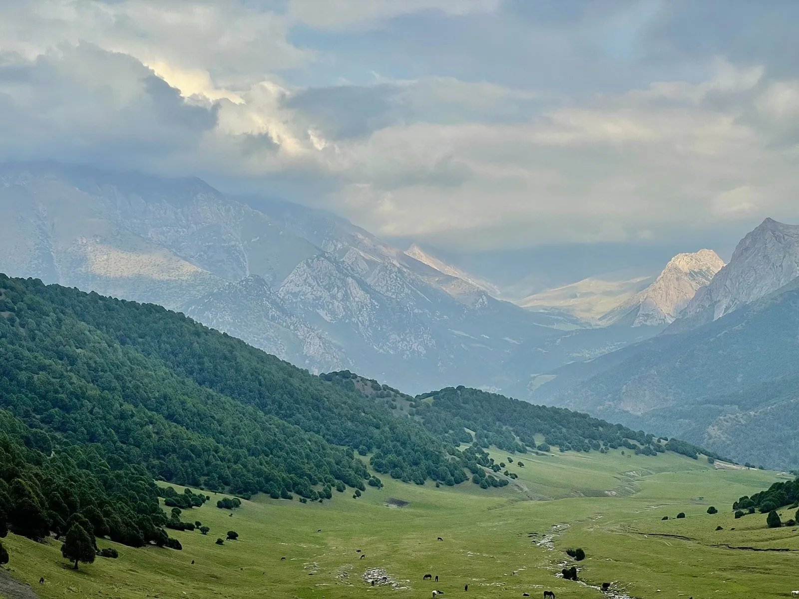
Archaly to Kyzylbel — into the Burkhan Basin
✓ TrailTrack

Archaly to Kyzylbel — into the Burkhan Basin

Archaly to Kyzylbel · Hiking · Multi-day

Walk a substantial stretch of Archaly Valley and cross Kyzylbel Pass towards Burkhan. It introduces lesser-known Inner Tien Shan river valleys and their natural mountain connections.

41.1 km 81 +653 m Hard
Upper Isfayram-Say: the Langar and Buralybas Valley Section
✓ TrailTrack

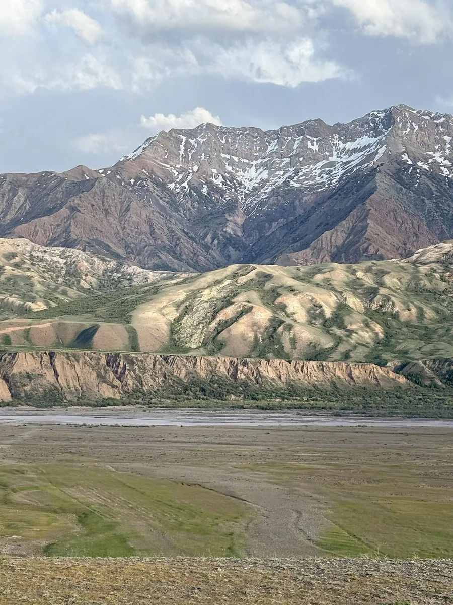
Upper Isfayram-Say: the Langar and Buralybas Valley Section

Hiking · One-day

To spend a day along the upper Isfayram-Say and explore the side streams around Langar. The section gives time to study the river and the directions of later mountain crossings.

10.1 km 81 +282 m Moderate
Isfayram-Say: Tegermetch to Kaindy via the Surmatash
✓ TrailTrack

Isfayram-Say: Tegermetch to Kaindy via the Surmatash

Hiking · One-day

To follow the Isfayram-Say from the Tegermetch to the Kaindy, passing the Surmatash mouth. These river junctions give a useful introduction to the main valley and its different mountain approaches.

17.1 km 81 +594 m Moderate
Molodechno: Gravel Route through the Pines
✓ TrailTrack

Molodechno: Gravel Route through the Pines

Bicycle · One-day

The interest of this 1.33 km point-to-point cycling route lies in travelling the distance itself: its gradients, surface and rhythm. Gentle terrain: 9 m of total ascent over 1.33 km. Estimated moving time is about 0.3 hours; add time for pauses and navigation.

1.3 km 81 +9 m Easy
Lake Country Route: lake-country journey
✓ TrailTrack

Lake Country Route: lake-country journey

КП2, Свитязь, 234км · Bicycle · Multi-day

Expect shore or waterside sections are recorded on the route on this 1002.37 km point-to-point cycling route. Gentle terrain: 440 m of total ascent over 1002.37 km. Surface: asphalt. Allow at least 14 days and verify overnight and exit options independently.

1002.4 km 81 +440 m Hard
Minsk: Mir: Nesvizh
✓ TrailTrack

Minsk: Mir: Nesvizh

КП0 Старт · Bicycle · Multi-day

This 305.37 km point-to-point cycling route passes through terrain where woodland is one of the route's main features. Gentle terrain: 307 m of total ascent over 305.37 km. Surface: asphalt. Allow at least 5 days and verify overnight and exit options independently.

305.4 km 81 +307 m Hard
Belarus Lake Country: Long-range variant
✓ TrailTrack

Belarus Lake Country: Long-range variant

КП3, Браслав, 320км · Bicycle · Multi-day

Expect shore or waterside sections are recorded on the route on this 608.09 km point-to-point cycling route. Gentle terrain: 354 m of total ascent over 608.09 km. Surface: asphalt. Allow at least 8 days and verify overnight and exit options independently.

608.1 km 81 +354 m Hard
Minsk Grand Circuit: Heritage Route
✓ TrailTrack

Minsk Grand Circuit: Heritage Route

М · Bicycle · Multi-day

This 405.19 km point-to-point cycling route passes through terrain where the route includes sites with cultural context. Gentle terrain: 477 m of total ascent over 405.19 km. Surface: asphalt. Allow at least 6 days and verify overnight and exit options independently.

405.2 km 81 +477 m Hard
Borisov Loop: Alternative route
✓ TrailTrack

Borisov Loop: Alternative route

Bicycle · One-day

Expect woodland is one of the route's main features on this 14.36 km point-to-point cycling route. Gentle terrain: 23 m of total ascent over 14.36 km. Surface: asphalt. Estimated moving time is about 1.3 hours; add time for pauses and navigation.

14.4 km 81 +23 m Moderate
Forest Roads Discovery Route
✓ TrailTrack

Forest Roads Discovery Route

ж.д.с.Смолевичи, М,К · Bicycle · One-day

Expect woodland is one of the route's main features on this 28.83 km point-to-point cycling route. Gentle terrain: 158 m of total ascent over 28.83 km. Surface: asphalt plus natural ground. Estimated moving time is about 2.8 hours; add time for pauses and navigation.

28.8 km 81 +158 m Hard
From Lida to Mosty and Mir Castle: Two Extended Cycle Loops
✓ TrailTrack

From Lida to Mosty and Mir Castle: Two Extended Cycle Loops

КП1 Острино 87 км · Bicycle · Multi-day

Ride two contrasting regional sides with an intermediate Lida return. Northern churches give way to roads towards Mosty; the eastern loop connects Ivye heritage, the Neman and Mir Castle. This arrangement helps organise separate support for the western and eastern directions.

601.1 km 81 +472 m Hard
From Lida Castle: via Novogrudok
✓ TrailTrack

From Lida Castle: via Novogrudok

КП0 Старт · Bicycle · Multi-day

Expect the route includes sites with cultural context on this 400.92 km circular cycling route. Gentle terrain: 1115 m of total ascent over 400.92 km. Surface: asphalt. Allow at least 6 days and verify overnight and exit options independently.

400.9 km 81 +1115 m Hard
Glass Rainbow
✓ TrailTrack

Glass Rainbow

Bicycle · One-day

This 4.76 km point-to-point cycling route passes through terrain where the route includes sites with cultural context. Gentle terrain: 17 m of total ascent over 4.76 km. Estimated moving time is about 0.6 hours; add time for pauses and navigation.

4.8 km 81 +17 m Easy
Slonim: Split Stone
✓ TrailTrack

Slonim: Split Stone

Bicycle · One-day

The recorded line is a 8.57 km circular cycling route, with the route includes sites with cultural context. Gentle terrain: 64 m of total ascent over 8.57 km. Surface: compacted ground plus asphalt. Estimated moving time is about 0.9 hours; add time for pauses and navigation.

8.6 km 81 +64 m Easy
Gomel: Grand Circuit to the Horizon
✓ TrailTrack

Gomel: Grand Circuit to the Horizon

Старт · Hiking · Multi-day

This 216.79 km point-to-point walking route passes through terrain where woodland is one of the route's main features. Gentle terrain: 151 m of total ascent over 216.79 km. Allow at least 10 days and verify overnight and exit options independently.

216.8 km 81 +151 m Hard
Gomel: Grand Circuit to the Horizon: via Khoiniki
✓ TrailTrack

Gomel: Grand Circuit to the Horizon: via Khoiniki

ЧЕБУРЕКИ КП1 · Hiking · Multi-day

This 306.94 km circular walking route passes through terrain where woodland is one of the route's main features. Gentle terrain: 169 m of total ascent over 306.94 km. Surface: asphalt plus improved surface. Allow at least 13 days and verify overnight and exit options independently.

306.9 km 81 +169 m Hard
Trans-Belarus: Mozyr: Pinsk
✓ TrailTrack

Trans-Belarus: Mozyr: Pinsk

Bicycle · Multi-day

The recorded line is a 277.96 km point-to-point cycling route, with woodland is one of the route's main features. Gentle terrain: 151 m of total ascent over 277.96 km. Surface: asphalt. Allow at least 4 days and verify overnight and exit options independently.

278.0 km 81 +151 m Hard
Minsk: Brest: Paryzh: Quiet-road variant
✓ TrailTrack

Minsk: Brest: Paryzh: Quiet-road variant

КП1 Несвиж · Bicycle · Multi-day

This 1240.5 km point-to-point cycling route is shaped by its terrain, surface and pace rather than a single landmark. Gentle terrain: 382 m of total ascent over 1240.5 km. Allow at least 17 days and verify overnight and exit options independently.

1240.5 km 81 +382 m Hard
Visiting the Radziwills
✓ TrailTrack

Visiting the Radziwills

КП 7 · Bicycle · Multi-day

The route includes sites with cultural context along this 404.2 km circular cycling route. Gentle terrain: 82 m of total ascent over 404.2 km. Surface: asphalt. Allow at least 6 days and verify overnight and exit options independently.

404.2 km 81 +82 m Hard
Pskov to the Talab islands via Tolba and Zalit, finishing on Belov
✓ TrailTrack

Pskov to the Talab islands via Tolba and Zalit, finishing on Belov

Необычная статуя Ленина в шапке · Travel · Multi-day

Combine the mainland approach with two different island walks and see Pskov Lake from the water. St Peter and St Paul Church on Belov supplies a distinct historical pause before continuing towards the shore.

48.2 km 80 +106 m Hard
Walking Route in — the Caucasus, 1.25 km
✓ TrailTrack

Walking Route in — the Caucasus, 1.25 km

Caucasus · Hiking · One-day

Plan this 1.25 km point-to-point walking route from its verified distance, gradients and recorded surface rather than unconfirmed landmarks. Estimated moving time is about 0.5 hours; add time for pauses and navigation.

1.3 km 80 +0 m Easy
Tsemes River and Furova Hillside Walk
✓ TrailTrack

Tsemes River and Furova Hillside Walk

Hiking · One-day

Plan this 1.89 km point-to-point walking route from its verified distance, gradients and recorded surface rather than unconfirmed landmarks. Estimated moving time is about 0.7 hours; add time for pauses and navigation.

1.9 km 80 +0 m Easy
Rosa Khutor Health Trail: The Small Passage beside Nadezhda Waterfall
✓ TrailTrack

Rosa Khutor Health Trail: The Small Passage beside Nadezhda Waterfall

Hiking · One-day

See Nadezhda Waterfall and the wooded edge of the Mzymta Valley on a separate short walk. This version leaves attention for the cascade without requiring the higher woodland branches.

0.3 km 80 +0 m Easy
Bolgart to Jinalach — the River-Valley Crossing
✓ TrailTrack

Bolgart to Jinalach — the River-Valley Crossing

Bolgart to Jinalach · Hiking · One-day

Cross from Bolgart to Jinalach and see neighbouring river valleys from the spur between them. It adds variety to a longer Small Naryn basin trek and provides a natural change of direction.

9.5 km 80 +162 m Easy
Back Page 57 of 79 Next