TrailTrack routes

Маршруты с подготовленным описанием, сложностью, покрытием и планированием визита.

Found 1895 routes
Choose a route from the list or view routes on the map.
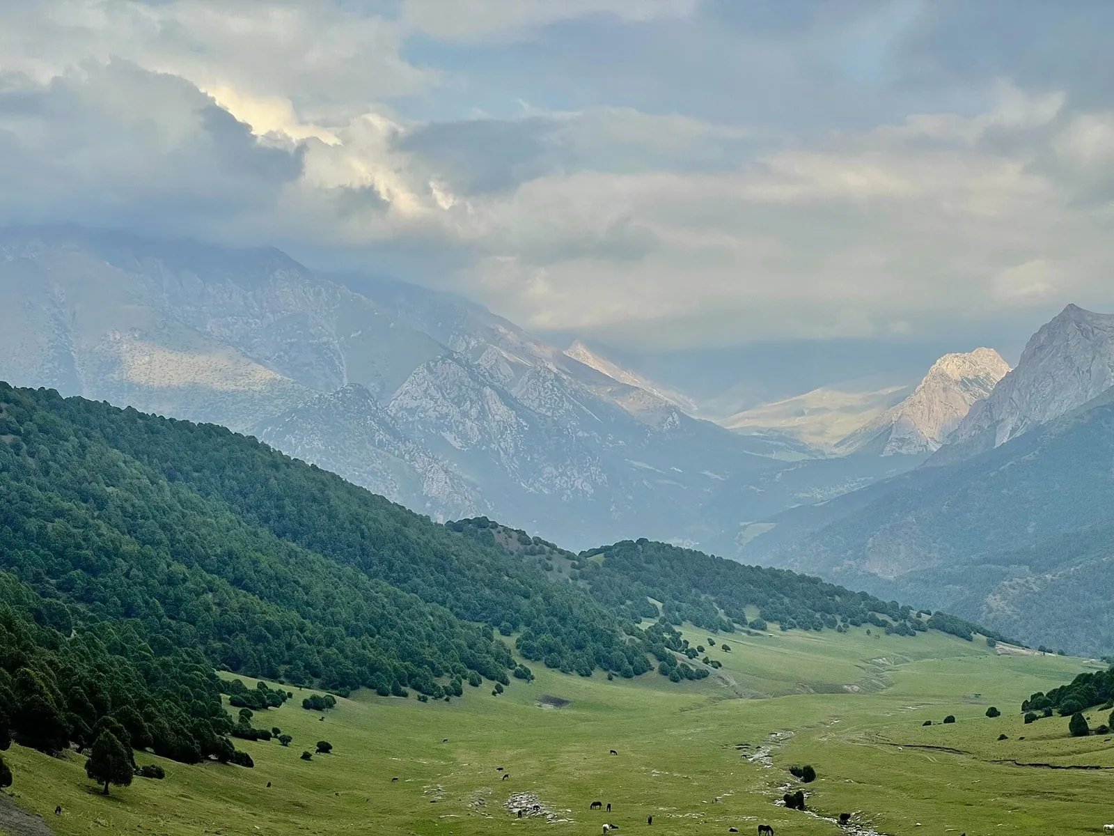
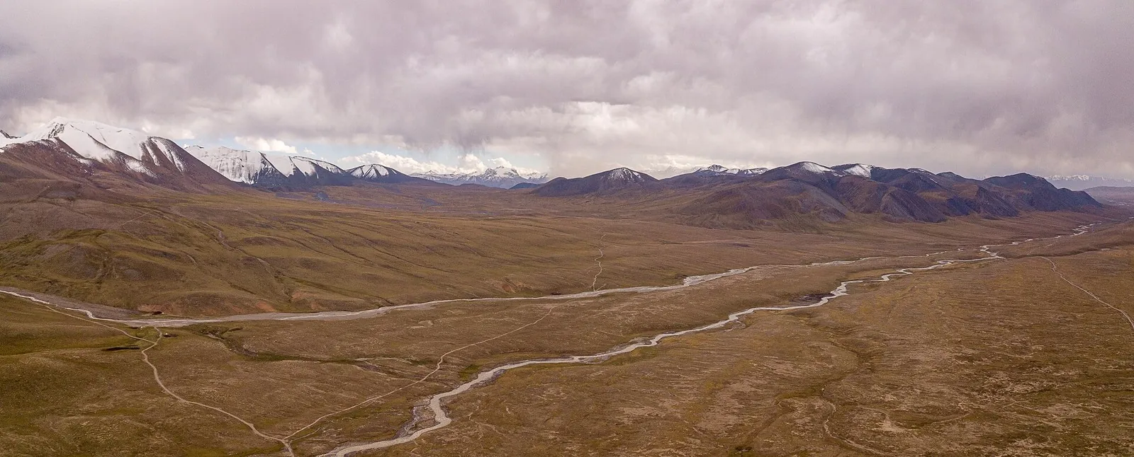
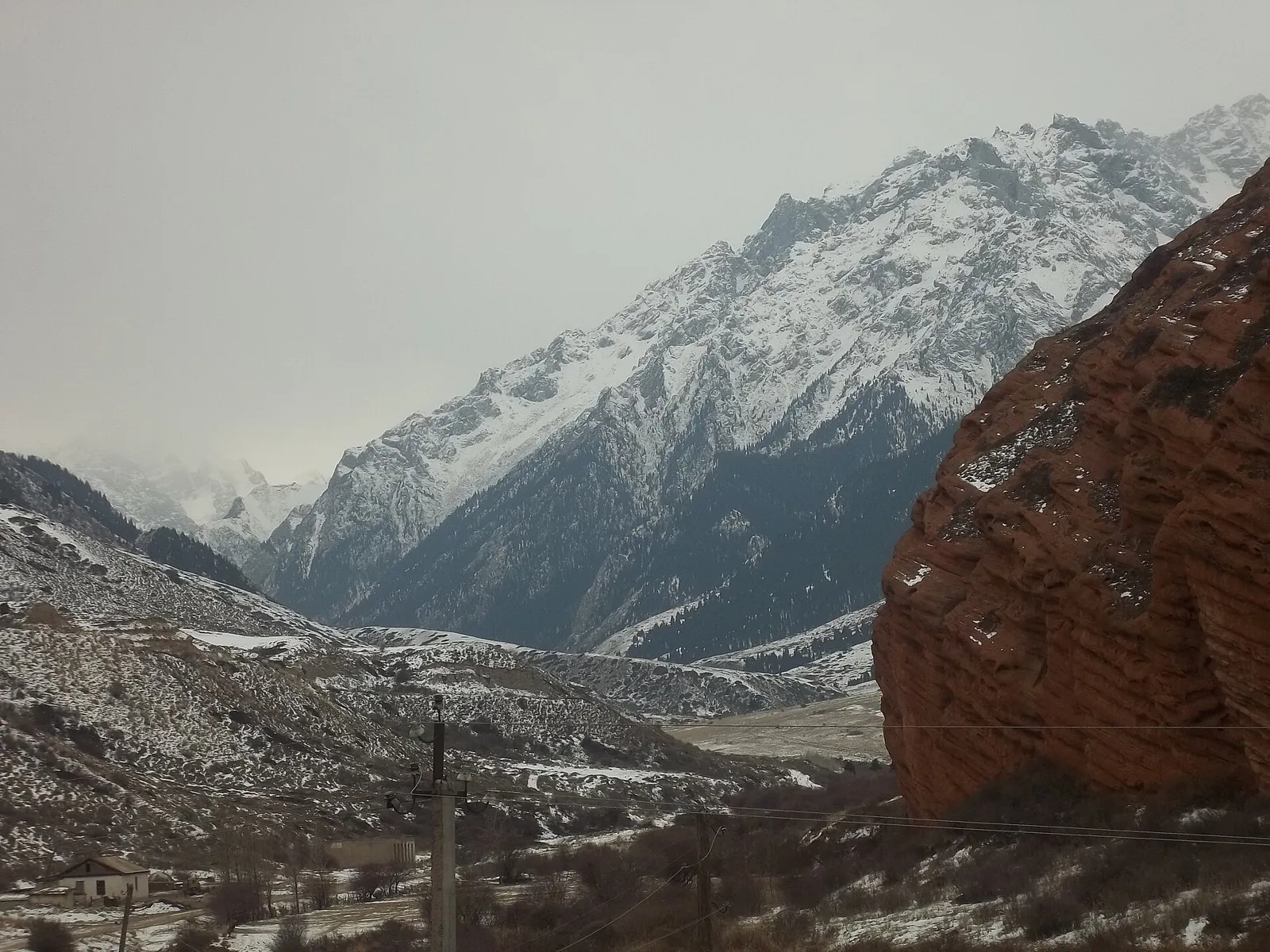
Kichi-Kyzyl-Suu to Djukuchak — along the Jumatai Valley
✓ TrailTrack

Kichi-Kyzyl-Suu to Djukuchak — along the Jumatai Valley

Kichi-Kyzyl-Suu to Djukuchak · Hiking · One-day

Connect Kichi-Kyzyl-Suu with Djukuchak through the Jumatai Valley and continue towards upper Terskey. It lets you experience neighbouring gorges as connected mountain country and choose the next stage on the other side of the spur.

18.6 km 81 +1379 m Moderate
Upper Isfayram-Say: the Langar and Buralybas Valley Section
✓ TrailTrack

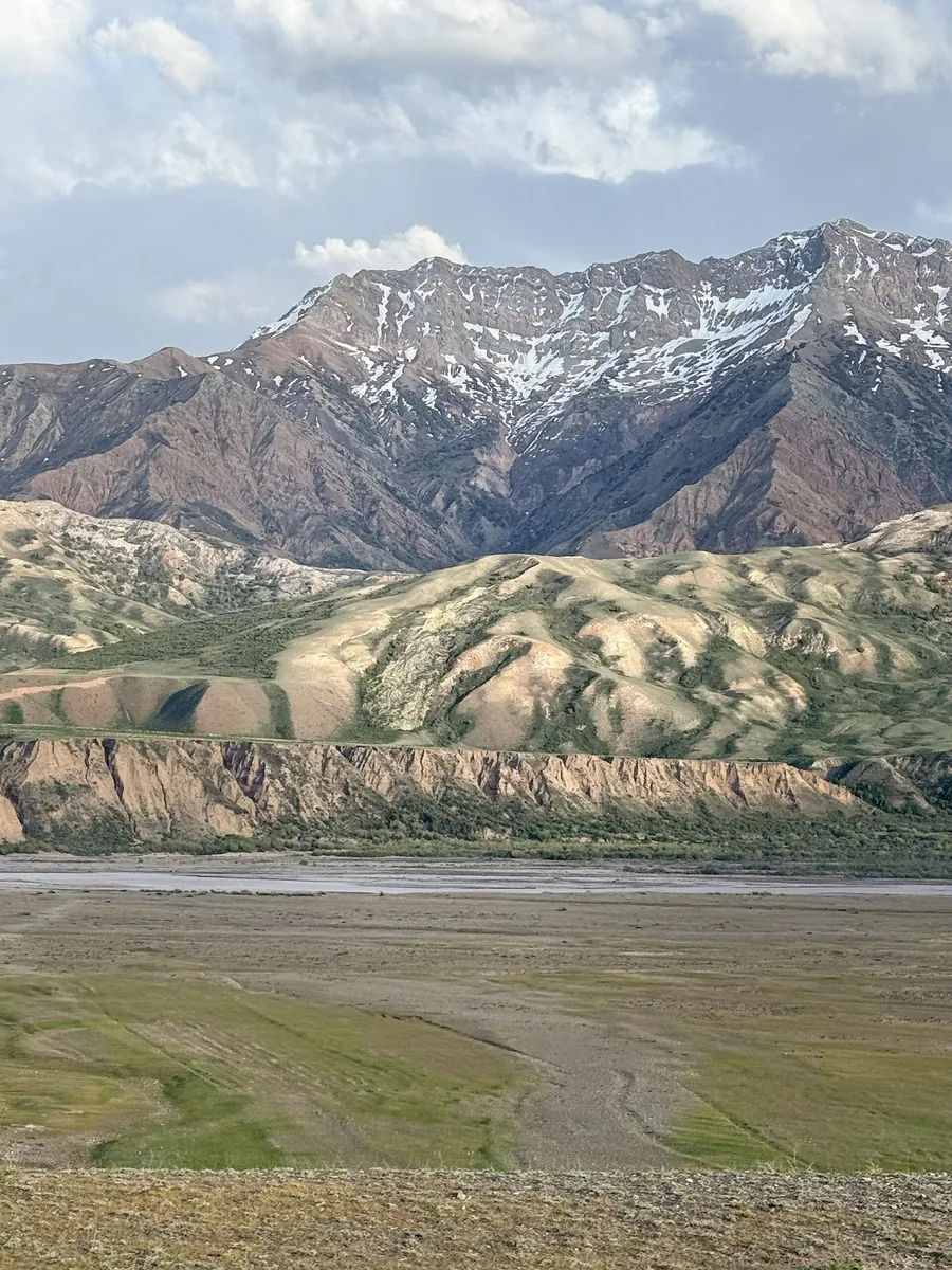
Upper Isfayram-Say: the Langar and Buralybas Valley Section

Hiking · One-day

To spend a day along the upper Isfayram-Say and explore the side streams around Langar. The section gives time to study the river and the directions of later mountain crossings.

10.1 km 81 +282 m Moderate
Isfayram-Say: Tegermetch to Kaindy via the Surmatash
✓ TrailTrack

Isfayram-Say: Tegermetch to Kaindy via the Surmatash

Hiking · One-day

To follow the Isfayram-Say from the Tegermetch to the Kaindy, passing the Surmatash mouth. These river junctions give a useful introduction to the main valley and its different mountain approaches.

17.1 km 81 +594 m Moderate
Molodechno: Gravel Route through the Pines
✓ TrailTrack

Molodechno: Gravel Route through the Pines

Bicycle · One-day

The interest of this 1.33 km point-to-point cycling route lies in travelling the distance itself: its gradients, surface and rhythm. Gentle terrain: 9 m of total ascent over 1.33 km. Estimated moving time is about 0.3 hours; add time for pauses and navigation.

1.3 km 81 +9 m Easy
Lake Country Route: lake-country journey
✓ TrailTrack

Lake Country Route: lake-country journey

КП2, Свитязь, 234км · Bicycle · Multi-day

Expect shore or waterside sections are recorded on the route on this 1002.37 km point-to-point cycling route. Gentle terrain: 440 m of total ascent over 1002.37 km. Surface: asphalt. Allow at least 14 days and verify overnight and exit options independently.

1002.4 km 81 +440 m Hard
Minsk: Mir: Nesvizh
✓ TrailTrack

Minsk: Mir: Nesvizh

КП0 Старт · Bicycle · Multi-day

This 305.37 km point-to-point cycling route passes through terrain where woodland is one of the route's main features. Gentle terrain: 307 m of total ascent over 305.37 km. Surface: asphalt. Allow at least 5 days and verify overnight and exit options independently.

305.4 km 81 +307 m Hard
Belarus Lake Country: Long-range variant
✓ TrailTrack

Belarus Lake Country: Long-range variant

КП3, Браслав, 320км · Bicycle · Multi-day

Expect shore or waterside sections are recorded on the route on this 608.09 km point-to-point cycling route. Gentle terrain: 354 m of total ascent over 608.09 km. Surface: asphalt. Allow at least 8 days and verify overnight and exit options independently.

608.1 km 81 +354 m Hard
Minsk Grand Circuit: Heritage Route
✓ TrailTrack

Minsk Grand Circuit: Heritage Route

М · Bicycle · Multi-day

This 405.19 km point-to-point cycling route passes through terrain where the route includes sites with cultural context. Gentle terrain: 477 m of total ascent over 405.19 km. Surface: asphalt. Allow at least 6 days and verify overnight and exit options independently.

405.2 km 81 +477 m Hard
Borisov Loop: Alternative route
✓ TrailTrack

Borisov Loop: Alternative route

Bicycle · One-day

Expect woodland is one of the route's main features on this 14.36 km point-to-point cycling route. Gentle terrain: 23 m of total ascent over 14.36 km. Surface: asphalt. Estimated moving time is about 1.3 hours; add time for pauses and navigation.

14.4 km 81 +23 m Moderate
Forest Roads Discovery Route
✓ TrailTrack

Forest Roads Discovery Route

ж.д.с.Смолевичи, М,К · Bicycle · One-day

Expect woodland is one of the route's main features on this 28.83 km point-to-point cycling route. Gentle terrain: 158 m of total ascent over 28.83 km. Surface: asphalt plus natural ground. Estimated moving time is about 2.8 hours; add time for pauses and navigation.

28.8 km 81 +158 m Hard
From Lida to Mosty and Mir Castle: Two Extended Cycle Loops
✓ TrailTrack

From Lida to Mosty and Mir Castle: Two Extended Cycle Loops

КП1 Острино 87 км · Bicycle · Multi-day

Ride two contrasting regional sides with an intermediate Lida return. Northern churches give way to roads towards Mosty; the eastern loop connects Ivye heritage, the Neman and Mir Castle. This arrangement helps organise separate support for the western and eastern directions.

601.1 km 81 +472 m Hard
From Lida Castle: via Novogrudok
✓ TrailTrack

From Lida Castle: via Novogrudok

КП0 Старт · Bicycle · Multi-day

Expect the route includes sites with cultural context on this 400.92 km circular cycling route. Gentle terrain: 1115 m of total ascent over 400.92 km. Surface: asphalt. Allow at least 6 days and verify overnight and exit options independently.

400.9 km 81 +1115 m Hard
Glass Rainbow
✓ TrailTrack

Glass Rainbow

Bicycle · One-day

This 4.76 km point-to-point cycling route passes through terrain where the route includes sites with cultural context. Gentle terrain: 17 m of total ascent over 4.76 km. Estimated moving time is about 0.6 hours; add time for pauses and navigation.

4.8 km 81 +17 m Easy
Slonim: Split Stone
✓ TrailTrack

Slonim: Split Stone

Bicycle · One-day

The recorded line is a 8.57 km circular cycling route, with the route includes sites with cultural context. Gentle terrain: 64 m of total ascent over 8.57 km. Surface: compacted ground plus asphalt. Estimated moving time is about 0.9 hours; add time for pauses and navigation.

8.6 km 81 +64 m Easy
Gomel: Grand Circuit to the Horizon
✓ TrailTrack

Gomel: Grand Circuit to the Horizon

Старт · Hiking · Multi-day

This 216.79 km point-to-point walking route passes through terrain where woodland is one of the route's main features. Gentle terrain: 151 m of total ascent over 216.79 km. Allow at least 10 days and verify overnight and exit options independently.

216.8 km 81 +151 m Hard
Gomel: Grand Circuit to the Horizon: via Khoiniki
✓ TrailTrack

Gomel: Grand Circuit to the Horizon: via Khoiniki

ЧЕБУРЕКИ КП1 · Hiking · Multi-day

This 306.94 km circular walking route passes through terrain where woodland is one of the route's main features. Gentle terrain: 169 m of total ascent over 306.94 km. Surface: asphalt plus improved surface. Allow at least 13 days and verify overnight and exit options independently.

306.9 km 81 +169 m Hard
Trans-Belarus: Mozyr: Pinsk
✓ TrailTrack

Trans-Belarus: Mozyr: Pinsk

Bicycle · Multi-day

The recorded line is a 277.96 km point-to-point cycling route, with woodland is one of the route's main features. Gentle terrain: 151 m of total ascent over 277.96 km. Surface: asphalt. Allow at least 4 days and verify overnight and exit options independently.

278.0 km 81 +151 m Hard
Minsk: Brest: Paryzh: Quiet-road variant
✓ TrailTrack

Minsk: Brest: Paryzh: Quiet-road variant

КП1 Несвиж · Bicycle · Multi-day

This 1240.5 km point-to-point cycling route is shaped by its terrain, surface and pace rather than a single landmark. Gentle terrain: 382 m of total ascent over 1240.5 km. Allow at least 17 days and verify overnight and exit options independently.

1240.5 km 81 +382 m Hard
Walking Route in — the Caucasus, 1.25 km
✓ TrailTrack

Walking Route in — the Caucasus, 1.25 km

Caucasus · Hiking · One-day

Plan this 1.25 km point-to-point walking route from its verified distance, gradients and recorded surface rather than unconfirmed landmarks. Estimated moving time is about 0.5 hours; add time for pauses and navigation.

1.3 km 80 +0 m Easy
Tsemes River and Furova Hillside Walk
✓ TrailTrack

Tsemes River and Furova Hillside Walk

Hiking · One-day

Plan this 1.89 km point-to-point walking route from its verified distance, gradients and recorded surface rather than unconfirmed landmarks. Estimated moving time is about 0.7 hours; add time for pauses and navigation.

1.9 km 80 +0 m Easy
Rosa Khutor Health Trail: The Small Passage beside Nadezhda Waterfall
✓ TrailTrack

Rosa Khutor Health Trail: The Small Passage beside Nadezhda Waterfall

Hiking · One-day

See Nadezhda Waterfall and the wooded edge of the Mzymta Valley on a separate short walk. This version leaves attention for the cascade without requiring the higher woodland branches.

0.3 km 80 +0 m Easy
Bolgart to Jinalach — the River-Valley Crossing
✓ TrailTrack

Bolgart to Jinalach — the River-Valley Crossing

Bolgart to Jinalach · Hiking · One-day

Cross from Bolgart to Jinalach and see neighbouring river valleys from the spur between them. It adds variety to a longer Small Naryn basin trek and provides a natural change of direction.

9.5 km 80 +162 m Easy
Across Djukuchak — from the Northern Valley to the Arabel Syrts
✓ TrailTrack

Across Djukuchak — from the Northern Valley to the Arabel Syrts

Across Djukuchak · Hiking · Multi-day

Follow Djukuchak valley towards the glacial Terskey Ala-Too divide and emerge on the southern side near the Arabel syrts. Choose an experienced leader who has checked snow, ice and the high-country exit.

24.8 km 80 +1123 m Moderate
Bus №5 - Kok Zhailau
✓ TrailTrack

Bus №5 - Kok Zhailau

Bus №5 · Hiking · One-day

Expect roughly 5.7 km of high-mountain travel. The format is point-to-point, and Leshoz is the starting reference. Use Leshoz as the starting reference and Kokshoky as the finishing reference; plan the return in advance. Features worth noticing include Батарейка (peak, 2483 m, about 0.9 km away); Землянка (wilderness hut, about 1.0 km away); Dinamo (peak, 1590 m, about 1.1 km away); Kokterek (peak, 2174 m, about 1.3 km away); Suhaya elka (mountain pass, 2745 m, about 1.7 km away). The route itself has no recorded elevations, but nearby named features rise to about 2860 m. This matters for weather and acclimatisation. Original material: OpenStreetMap — https://www.openstreetmap.org/relation/19953303.

5.7 km 80 +871 m Easy
Back Page 57 of 79 Next