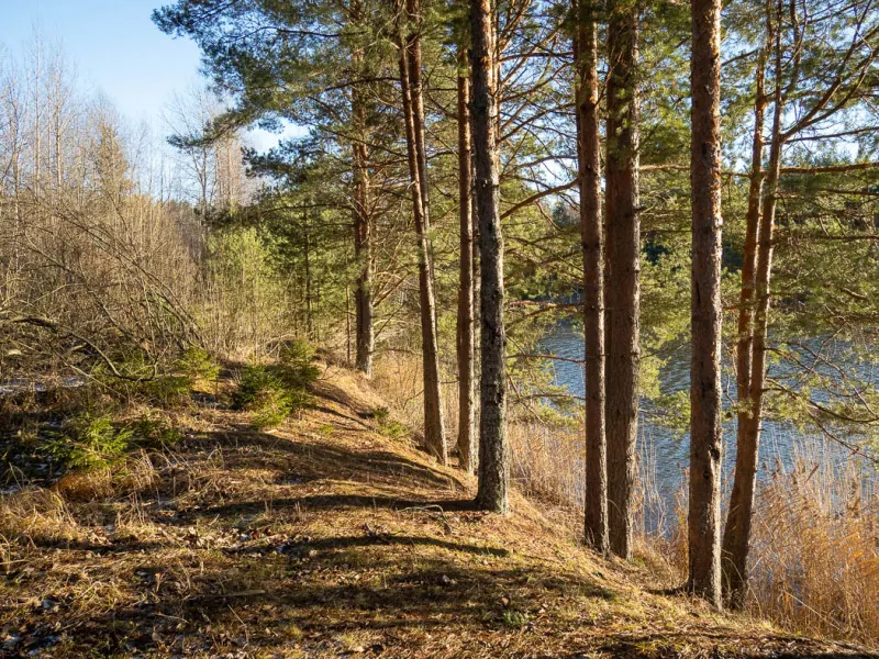



Azure Waters by Novinka: Quarry Loop with a Northern Return
- Distance
- 4.2 km
- Time
- 1 h 20 min
- Elevation gain
- 58 m
- Difficulty
- Easy




 Open on map
 Download route
Route description

Route status
Проверяем свежесть данных по треку и учитываем сообщения сообщества

Запретов на посещение и пожаров рядом нет
Проверяем спутниковые данные о пожарах и предупреждения по региону.
Подробнее о состоянии маршрута No recent trail condition reports


The description, logistics and points of interest were prepared using maps and open sources. Trail conditions may change.
Route data was imported from GPX and has not been field-verified.

Before travelling, check trail access, restrictions and the weather forecast.

Conditions may have changed. Share a report after completing the route.

Recent completions
Be the first to confirm a completion and help other travellers.
Elevation profile
There is no elevation data in the track for the chart.
 Surface
Sand 44% · Unknown 56%
Surface data covers 1.82 km of 4.16 km; the rest of the track is not yet classified.
Before you go
Всё важное о маршруте
 Route at a glance
Главное за минуту
- Length
- 4.2 km
- Elevation gain
- 58 m
- Surface
- Sand 44%




 Route suitability
Кому будет комфортно
 Nearby
Getting there
Варианты и важные моменты
 Show on map

 Without a car
 By car
 Parking
Электрички туда и обратно
Расписание на дату и время, до которого нужно выйти на маршрут
 What to expect
Places

 Difficult sections and safety
На что обратить внимание
Elevation gainСуммарный набор высоты — 58 м.
SurfaceSand 44%, Unknown 56%.
 Риски
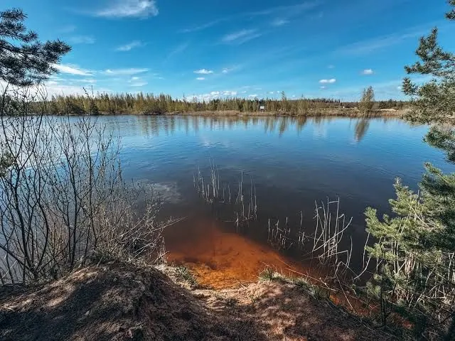
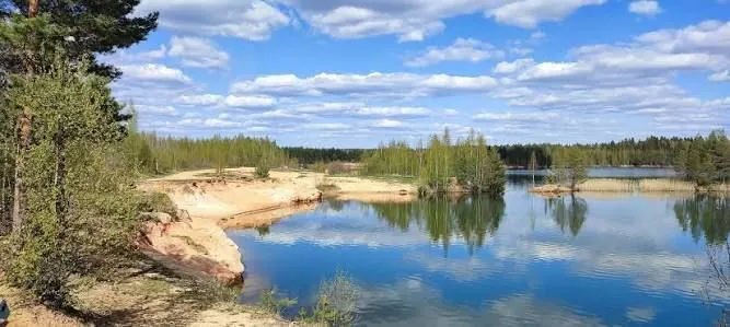
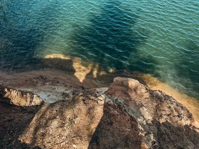
Avoid unstable sandy edges and supervise children near water. Rain can bring puddles, wet ground and slippery roots. Keep out of reeds and avoid bog shortcuts. Safe swimming, jumping into the quarry, drinking its water or walking on ice is unestablished. Avoid collecting protected plants, damaging banks or lighting fires, and check temporary conservation restrictions.
Риски
Avoid unstable sandy edges and supervise children near water. Rain can bring puddles, wet ground and slippery roots. Keep out of reeds and avoid bog shortcuts. Safe swimming, jumping into the quarry, drinking its water or walking on ice is unestablished. Avoid collecting protected plants, damaging banks or lighting fires, and check temporary conservation restrictions.
 How much time to allow
Оцените свой темп
 Time for the route
1 hr 15 min–2 hr
Time for the route
1 hr 15 min–2 hr
 With stops | 2–3 hr These are editorial allowances for the selected shore-side version and repeated approaches. Reading, sand condition and photography affect pace. Add the Novinka platform approach, transport waiting and station return separately.
 Best time to go
Сезонность и рекомендации


 What to bring
Базовый список для комфортного похода




FAQ
Questions before the trip
Can I do this route without a car?
The protected-area authority identifies a train from Vitebsky Station to Novinka platform, followed by an independent southwest approach to the trail entrance. The station approach is substantial and outside this selected loop. Choose a permitted road, check train stopping patterns and timetables, and allow for returning to the station. A bus directly to.
Is this route suitable for children?
Possible with caution: review the surface, difficult sections, and extra time for stops in advance.
Can I download GPX and KML?
Yes, GPX and KML are available on the route page. Open the map, download the file, and use it in a navigator before your trip; key route facts: 4.2 km, easy.
Route photos
11 photos
Discussion
Comments 0
Log in to read the discussion and leave comments.
Ask about the route or its surface, or share your experience.