


Moscow’s Green Ring: Extended Version through Fili and Yauza Parks: bicycle in Moscow region
TrailTrack route Bicycle Moscow region Multi-day
Waiting for the first trip report

Moscow’s Green Ring: Extended Version through Fili and Yauza Parks

Distance
139.6 km
Estimated moving time
13 h 3 min
Elevation gain
303 m
Difficulty
Hard
Open on map
Download route

Route description

This extended park version of Moscow’s Green Ring introduces the city through its watersides, courtyards and green spaces. Find its initial town side in Shchukino, near Aviatsionnaya Street. In the west, attention shifts from Strogino Bridge to Fili Park and then Mosfilm Pond. A sundial stands near the water, while two distinct monuments to Indian public figures occupy the Indira Gandhi Square area. Reminders of Moscow State University student life give way to busy streets. The north reveals another Moscow. Cow and goat sculptures on the Timiryazevskaya side sit near the Scientific and Art Museum of Horse Breeding, whose galleries can be added independently. Pause beside Leonovo Pond in the Garden of the Future. Rostokino Aqueduct changes the subject from city greenery to water-supply history: admire the old conduit from ground level and arrange any gallery visit on foot. The Losiny Ostrov forest side and Golyanovo Pond continue the northeastern outing. In the east, the route meets the Dormition Church in Veshnyaki. The southeastern continuation reaches Kuzminki’s ponds, then the Moscow River and Brateyevo Bridge. Southern neighbourhoods gather around Borisovo Pond, Musa Jalil’s monument, the Tsaritsyno waterside and Arshinov Park. These different city places reward separate outings and walking stops. Before connecting all the districts, resolve the restricted railway passage near Timiryazevskaya, construction roads in Shchukino and the restriction beside Filyovskaya Embankment; finish the chosen part earlier if a permitted connection cannot be found.

Route status

Проверяем свежесть данных по треку и учитываем сообщения сообщества

Запретов на посещение и пожаров рядом нет

Проверяем спутниковые данные о пожарах и предупреждения по региону.

Следить за маршрутом
Подробнее о состоянии маршрута No recent trail condition reports
Data source Information prepared

The description, logistics and points of interest were prepared using maps and open sources. Trail conditions may change.

OpenStreetMap: https://www.openstreetmap.org/relation/17439059 Geometry imported from GPX. Trail conditions have not been checked in the field. Difficulty was estimated automatically from distance and elevation gain.

Last updated 13.10.2026

Before travelling, check trail access, restrictions and the weather forecast.

Current conditions No recent trail condition reports

Conditions may have changed. Share a report after completing the route.

Community experience

Recent completions

0

Be the first to confirm a completion and help other travellers.

Elevation profile

gentle climb steep

Before you go

Всё важное о маршруте

Route at a glance

Главное за минуту
See Moscow beyond its central embankments: the aqueduct’s pale arches, quiet Leonovo Pond, small sculptures on the Timiryazevskaya side and an old church among Veshnyaki’s neighbourhoods. Cycling links these different places, while walking stops let you examine them closely. Changes of district and local history give this extended version its appeal, and several independent outings make room to enjoy them.
Length
139.6 km
Elevation gain
303 m
Surface
Нет данных
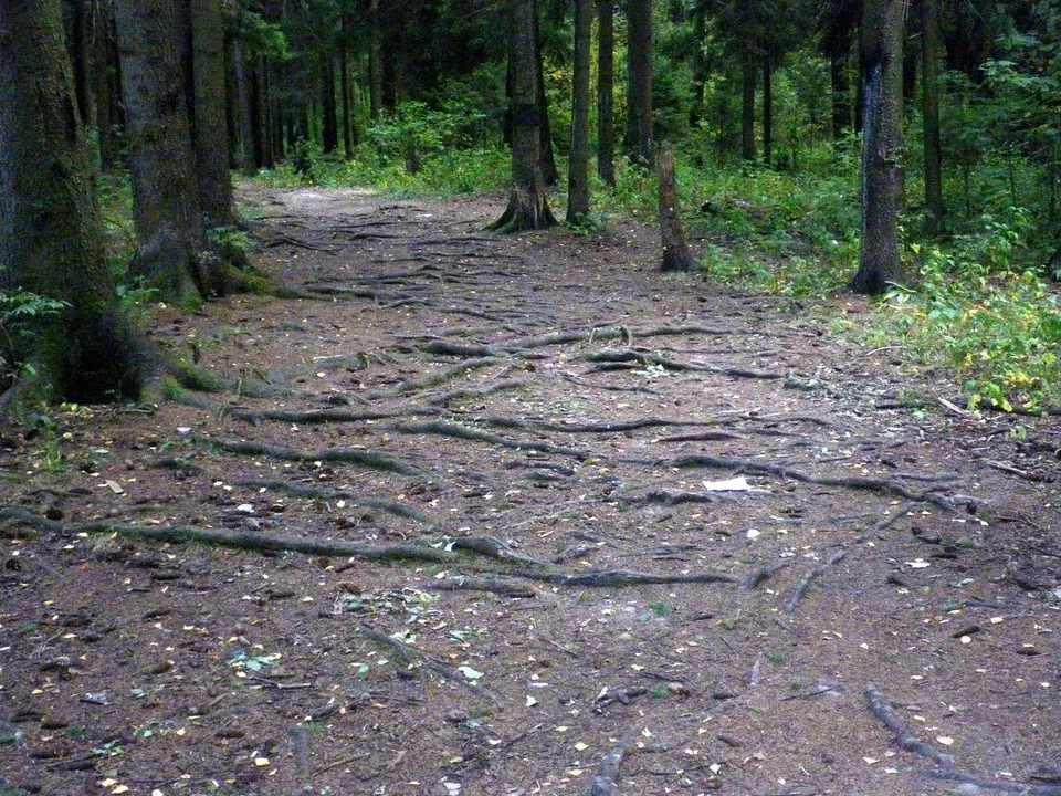
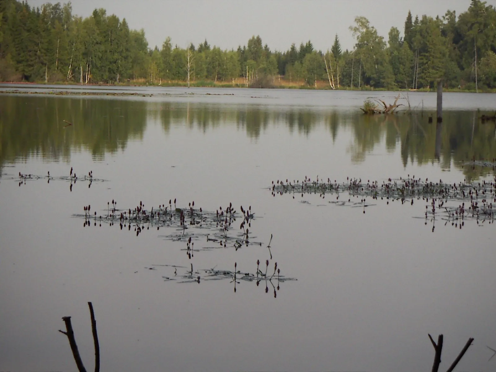
Moscow’s Green Ring: Extended Version through Fili and Yauza Parks: route photo

Route suitability

Кому будет комфортно
For experienced town cyclists prepared for vehicle streets, stairs and dismounting. Choose separately permitted park portions for accompanied children; the complete road-going option is unsuitable for small children. Riding on the carriageway is permitted from fourteen years of age. A complete stroller outing is unconfirmed. Uniform dog-accompaniment rules and reception throughout forest and underground places are unestablished.

Nearby

The Cryptography Museum on Botanicheskaya Street and the Cinema Museum at VDNH are near the northern part, but their entrances and exhibitions need independent approaches and time. The horse-breeding museum’s primary page publishes weekday individual admission and booked tours; confirm current arrangements and bicycle storage. Tsar’s Apiary runs its own programmes, so its owl and squirrel enclosures are not promised as freely accessible encounters on the cycling route. Add Trinity Church in Troitse-Lykovo or the palace buildings of Kuzminki and Tsaritsyno through separate walking visits. Museum interiors and properties have their own visiting conditions. Old estate avenues and a centuries-old oak in the Garden of the Future merit an independent approach; the main estate house no longer survives there. Rostokino Aqueduct’s gallery has admission arrangements separate from ground-level exterior viewing. Before a district outing, consult the present TsODD map and restriction notices.

Getting there

Варианты и важные моменты Show on map
Without a car
Shchukinskaya station on line D2 and Shchukinskaya metro serve the Shchukino departure. Make a separate permitted approach to the initial side near Aviatsionnaya Street; this is a town departure rather than a platform exit. Nearby bus stops are named Shchukinskaya Metro and Shchukinskaya MCD; choose the current service beforehand. Whole and folded bicycle-carriage conditions differ between metro, diameter trains and surface transport, so check the selected operator’s rules. Walk the bicycle through concourses and underground passages. For a separate outing, choose a return station and its permitted approach in advance.
By car
Drive to the road side of Aviatsionnaya Street in Shchukino. Select drop-off according to present signs, keeping stops and pedestrian crossings clear; motor access to the pedestrian departure is not automatic. Do not use railway-side construction roads as car shortcuts. Agree on a permitted meeting point for a separate portion beforehand, particularly if a closed connection forces an early finish. Fili Park’s rules do not provide private-car support through the park.
Parking
Parking is unconfirmed. Shopping centres and town car parks in Shchukino do not establish suitable parking at this departure. Confirm permission to leave a car during the outing, charges and entry restrictions before travelling. Keep construction roads, stops and pedestrian paths clear. For several outings, arrange a car meeting separately in each selected district.

Электрички туда и обратно

Расписание на дату и время, до которого нужно выйти на маршрут

What to expect

Places
Strogino Bridge the shared cycling and walking side above the Moscow River, viewed while crossing calmly.
Fili Park paths through the actual park portion of the western outing.
Newlyweds’ Tree a small park sculpture beside the western paths.
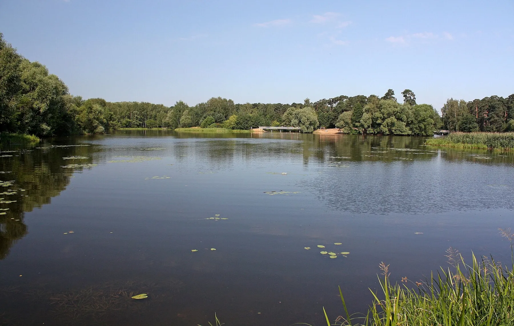
Mosfilm Pond water beside the town continuation near Dovzhenko Street.
Analemmatic Sundial a named sundial beside Mosfilm Pond.
Michurinsky Pond a separate waterside stop on the western town side.
Mahatma Gandhi Monument one of two distinct Indian monuments near the square.
Indira Gandhi Monument a distinct sculpture stop beside the town route.
Moscow State University Student Brigades Monument a reminder of student life on the university side of Leninskiye Gory.
Josip Broz Tito Monument a town monument beside the southwestern continuation.
Cosmonaut Volkov Monument a memorial stop on the northern town side.
Sixth Ivankovo Pond a small named pond beside the northwestern paths.
Cow Sculpture a park sculpture on the Timiryazevskaya side.
Goat Sculpture another small composition beside the northern town route.
Middle Farm Pond a waterside stop on the Timiryazevskaya portion.
Scientific and Art Museum of Horse Breeding the museum building exterior on Timiryazevskaya Street; gallery admission is separate.
Garden of the Future actual park paths on the former Leonovo estate side.
Leonovo Pond a bank-side stop on the northern park continuation.
Rostokino Aqueduct ground-level viewing of the old Mytishchi water conduit, with gallery admission separate.
Golyanovo Pond town water on the northeastern side of the extended outing.
Solovki Naval Cadets Monument a named memorial beside the Izmaylovo town continuation.
Old Larches Memorial Stone an actual named stone beside a woodland path.
Dormition Church in Veshnyaki exterior viewing of the old church on Yunosti Street.
MiG-21PF Aircraft an aircraft monument beside the southeastern town portion.
Kuzminki Entrance Obelisk a named monument on the northern estate side.
Kuzminki Estate Tercentenary Obelisk a distinct memorial beside the Kuzminki ponds.
Upper Kuzminki Pond the bank beside the dam on the southeastern portion.
Lower Kuzminki Pond neighbouring water on the other side of the same park crossing.
Student Superstitions Monument an unusual named town sculpture beside the river-side portion.
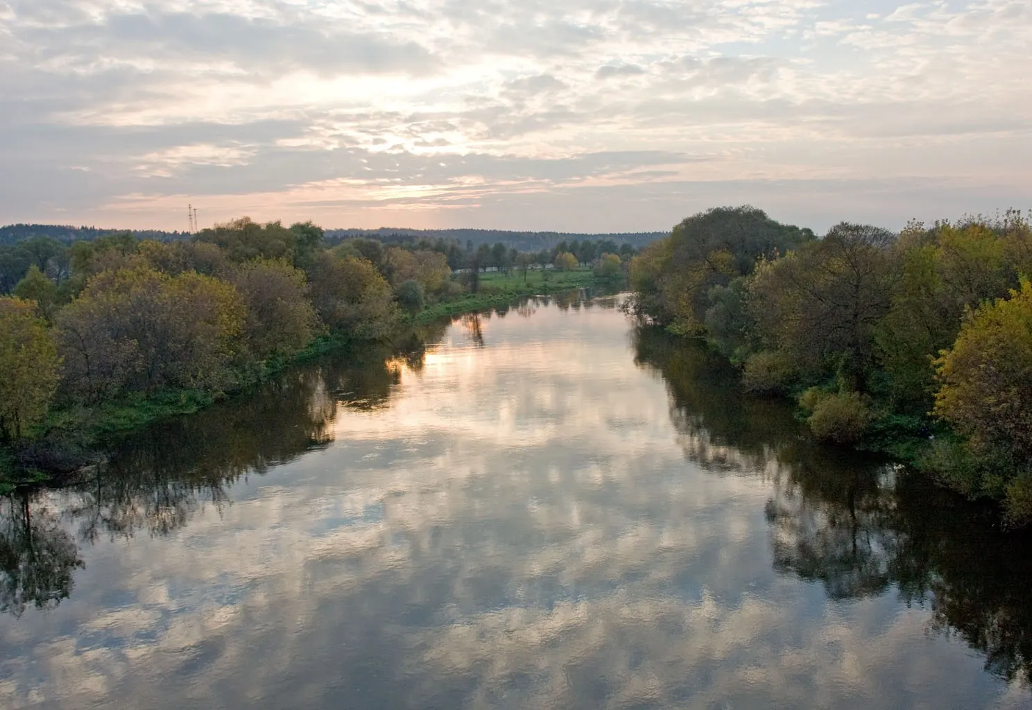
Brateyevo Bridge the shared cycling and walking side of the actual Moscow River crossing.
Brateyevo Embankment Park south-bank park paths after the river crossing.
Gorodnya Floodplain Park a distinct green valley on the southern continuation.
Musa Jalil Monument the poet’s sculpture beside the street named after him.
Trinity Church in Borisovo exterior viewing of the historic church on Borisovsky Passage.
Borisovo Pond the bank side of the large southern pond.
Lower Tsaritsyno Pond water beside the crossing on the northern side of the Tsaritsyno ponds.
Middle Tsaritsyno Pond the neighbouring water area beside the same crossing.
Cone Sculpture a small named park artwork on the southern side.
Arshinov Park the actual park portion beside the southern town paths.
Annunciation Church on Sevanskaya Street an exterior stop beside the southern town continuation.

Difficult sections and safety

На что обратить внимание
Elevation gainСуммарный набор высоты — 303 м.
SurfaceТип покрытия пока не определён.
Риски The former surface railway passage near Timiryazevskaya has an access restriction. Do not cross the rails or bypass fences: continuation requires a separately established permitted connection, otherwise shorten the outing. Check railway-side road construction in Shchukino; a path beside Filyovskaya Embankment is also closed. An unrestricted continuous ring is unconfirmed. Stairs and underground passages require dismounting and sometimes carrying the bicycle. Use the pedestrian or cycling side on Strogino and Brateyevo bridges, giving people priority. Follow present signs and cycling markings on one-way streets; a contraflow bicycle lane is usable only where provided. Slow down on shared paths and walk pedestrian crossings. Stay out of Losiny Ostrov’s protected zones. Adult cycling is prohibited inside the fence of Tsaritsyno’s palace area; plan a separate museum visit on foot.

How much time to allow

Оцените свой темп
Расчётное время в пути 13 h 3 min
С запасом на остановки + 30–60 мин
The complete duration of this extended version is unestablished. To examine the places, divide it into independent district outings, each with a checked departure, permitted connections and return transport. Resolve the railway passage before setting off. A day-by-day plan for the multi-day outing is not established. Allocate separate time for the horse-breeding museum, Tsar’s Apiary or the aqueduct gallery, considering current admission and bicycle conditions. Accommodation and obligatory rest places are unconfirmed.

Best time to go

Сезонность и рекомендации
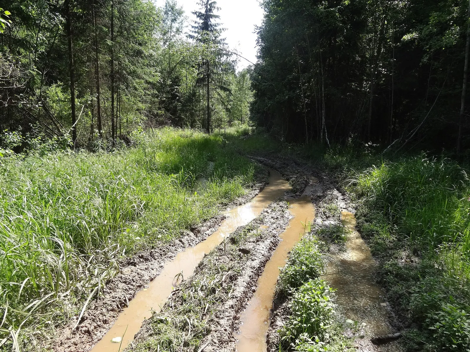
Choose dry days with sufficient daylight: pond stops are pleasant, while stairs and wooden surfaces are less slippery. Forest connections can become muddy in spring; open bridges and town streets need drinking water in summer. Slow down on wet autumn leaves. Check clearance and availability of every chosen passage in winter, and do not replace a path with pond ice. Confirm construction-road openings and museum admission independently of season.

What to bring

Базовый список для комфортного похода
Roadworthy town or touring bicycle
Helmet and visible clothing
Front and rear lights
Water and food for the selected portion
Pump, spare tube and repair kit
Phone with saved town map
Power bank
Lock for walking stops
Rain and sun protection
Small first-aid kit
Comfortable shoes for stairs
Checked return conditions with the bicycle

FAQ

Questions before the trip

Can I do this route without a car?

Shchukinskaya station on line D2 and Shchukinskaya metro serve the Shchukino departure. Make a separate permitted approach to the initial side near Aviatsionnaya Street; this is a town departure rather than a platform exit. Nearby bus stops are named Shchukinskaya Metro and Shchukinskaya MCD; choose the current service beforehand. Whole and folded.

Is this route suitable for children?

Possible with caution: review the surface, difficult sections, and extra time for stops in advance.

Can I download GPX and KML?

Yes, GPX and KML are available on the route page. Open the map, download the file, and use it in a navigator before your trip; key route facts: 139.6 km, hard.

Discussion

Comments 0

Log in to read the discussion and leave comments.

Ask about the route or its surface, or share your experience.