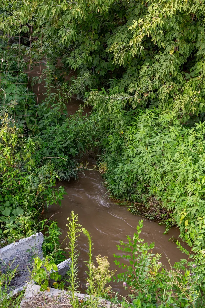



Uzyn Kargaly Rock Carvings and Big Shymbulak Waterfall
- Distance
- 7.1 km
- Time
- 2 h 35 min
- Elevation gain
- 301 m
- Difficulty
- Moderate




 Open on map
 Download route
Route description

Route status
Проверяем свежесть данных по треку и учитываем сообщения сообщества

Запретов на посещение и пожаров рядом нет
Проверяем спутниковые данные о пожарах и предупреждения по региону.
Подробнее о состоянии маршрута No recent trail condition reports


The description, logistics and points of interest were prepared using maps and open sources. Trail conditions may change.
Route data was imported from GPX and has not been field-verified.

Before travelling, check trail access, restrictions and the weather forecast.

Conditions may have changed. Share a report after completing the route.

Recent completions
Be the first to confirm a completion and help other travellers.
Elevation profile
There is no elevation data in the track for the chart.
 Surface
Dirt 93% · Improved surface 7%
Surface is defined for 100% of the route.
Before you go
Всё важное о маршруте
 Route at a glance
Главное за минуту
- Length
- 7.1 km
- Elevation gain
- 301 m
- Surface
- Dirt 93%




 Route suitability
Кому будет комфортно
 Nearby
Getting there
Варианты и важные моменты
 Show on map

 Without a car
 By car
 Parking
Электрички туда и обратно
Расписание на дату и время, до которого нужно выйти на маршрут
 What to expect
Places

 Difficult sections and safety
На что обратить внимание
Elevation gainСуммарный набор высоты — 301 м.
SurfaceDirt 93%, Improved surface 7%.
 Риски
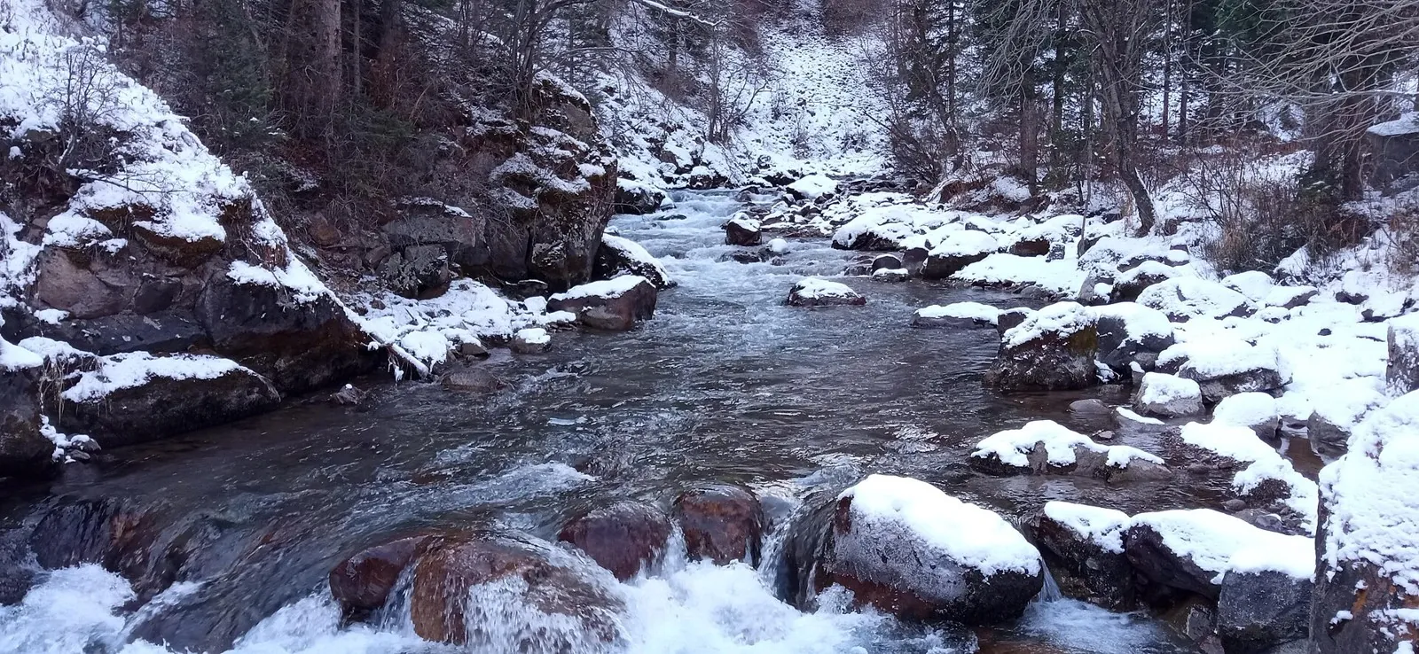
Check water levels, bridge condition and permitted lower access before departure. The final section follows water and rocks; turn back before the narrow gorge if safe passage is unavailable. Wet rock and cold flowing water make bathing hazardous. Reconsider ordinary walking plans after heavy rain, in ice or during thaw.
Риски
Check water levels, bridge condition and permitted lower access before departure. The final section follows water and rocks; turn back before the narrow gorge if safe passage is unavailable. Wet rock and cold flowing water make bathing hazardous. Reconsider ordinary walking plans after heavy rain, in ice or during thaw.
 How much time to allow
Оцените свой темп
 Time for the route
3–4 hours
Time for the route
3–4 hours
 With stops | 4–5 hours An editorial allowance for approaching the waterfall with safely low water and a dry main path. Add the return, lower-access arrangements and Almaty journey separately; allow a full day with an early beginning.
 Best time to go
Сезонность и рекомендации


 What to bring
Базовый список для комфортного похода




FAQ
Questions before the trip
Can I do this route without a car?
A current direct scheduled service to the water-intake beginning is unconfirmed. Arrange transfer from Almaty through Kargaly and agree collection beforehand. Village access does not reach the final canyon; complete the whole walking return before your driver arrives
Is this route suitable for children?
Possible with caution: review the surface, difficult sections, and extra time for stops in advance.
Can I download GPX and KML?
Yes, GPX and KML are available on the route page. Open the map, download the file, and use it in a navigator before your trip; key route facts: 7.1 km, moderate.
Route photos
4 photos
Discussion
Comments 0
Log in to read the discussion and leave comments.
Ask about the route or its surface, or share your experience.