


Kestanty, Adyl-Su and Upper Nalchik: Separate Valley Outings
- Distance
- 72.1 km
- Estimated moving time
- 1 d 8 min
- Elevation gain
- —
- Difficulty
- Hard




 Open on map
 Download route
Route description

Route status
Проверяем свежесть данных по треку и учитываем сообщения сообщества
Запретов на посещение и пожаров рядом нет
Проверяем спутниковые данные о пожарах и предупреждения по региону.
Подробнее о состоянии маршрута No recent trail condition reports


This route was added from a track. Individual sections have not been checked in the field.
Route data was imported from GPX and has not been field-verified.

Before travelling, check trail access, restrictions and the weather forecast.

Conditions may have changed. Share a report after completing the route.

Recent completions
Be the first to confirm a completion and help other travellers.
Elevation profile
There is no elevation data in the track for the chart.
Before you go
Всё важное о маршруте
 Route at a glance
Главное за минуту
- Length
- 72.1 km
- Elevation gain
- 1783 m
- Surface
- Нет данных




 Route suitability
Кому будет комфортно
 Nearby
Getting there
Варианты и важные моменты
 Show on map

 Without a car
 By car
 Parking
Электрички туда и обратно
Расписание на дату и время, до которого нужно выйти на маршрут
 What to expect
Places

 Difficult sections and safety
На что обратить внимание
Elevation gainСуммарный набор высоты — 1783 м.
SurfaceТип покрытия пока не определён.
 Риски
Vehicles use the valley roads; do not choose a carriageway as a walking path without a safe permitted passage. Check stones, water and required border documents in upper Adyl-Su. Avoid shortcuts over unfamiliar riverbanks on the valley return. The upper Nalchik portion also needs separate road and exit assessment; inter-valley connections are unestablished.
Риски
Vehicles use the valley roads; do not choose a carriageway as a walking path without a safe permitted passage. Check stones, water and required border documents in upper Adyl-Su. Avoid shortcuts over unfamiliar riverbanks on the valley return. The upper Nalchik portion also needs separate road and exit assessment; inter-valley connections are unestablished.
 How much time to allow
Оцените свой темп
 Расчётное время в пути
1 d 8 min
Расчётное время в пути
1 d 8 min
 С запасом на остановки
+ 30–60 мин
С запасом на остановки
+ 30–60 мин
 Time for the route | Unestablished With stops | Unestablished Complete time for a multi-day visit covering all separate parts is not established. Roads, valley returns and transfers require an independent allowance for the chosen method of travel. A Dzhantugan-based lake walk does not time the lengthy Tyrnyauz approach. A day-by-day plan is not established.
 Best time to go
Сезонность и рекомендации



 What to bring
Базовый список для комфортного похода




FAQ
Questions before the trip
Can I do this route without a car?
Verified current public transport to the starts of all selected parts is unavailable. Arrange arrival and return separately for the Bylym side,Tyrnyauz with Adyl-Su, and upper Nalchik. A single transport plan for the collection is unestablished
Is this route suitable for children?
Do not treat this as a basic child-friendly route: check difficulty, length, and trail conditions before going.
Can I download GPX and KML?
Yes, GPX and KML are available on the route page. Open the map, download the file, and use it in a navigator before your trip; key route facts: 72.1 km, hard.
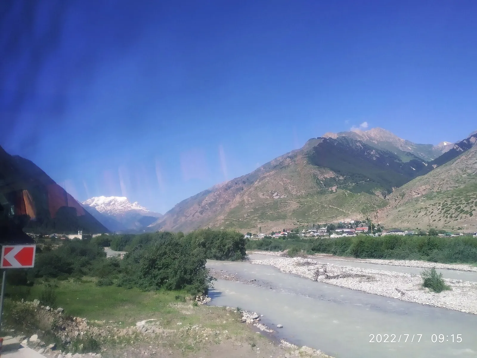
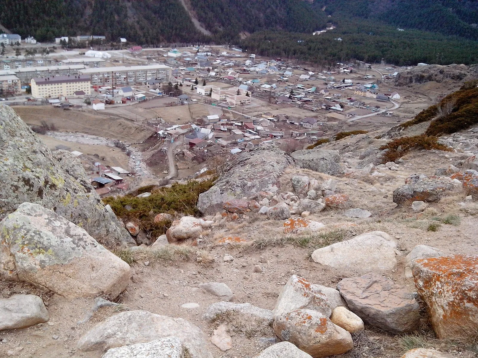
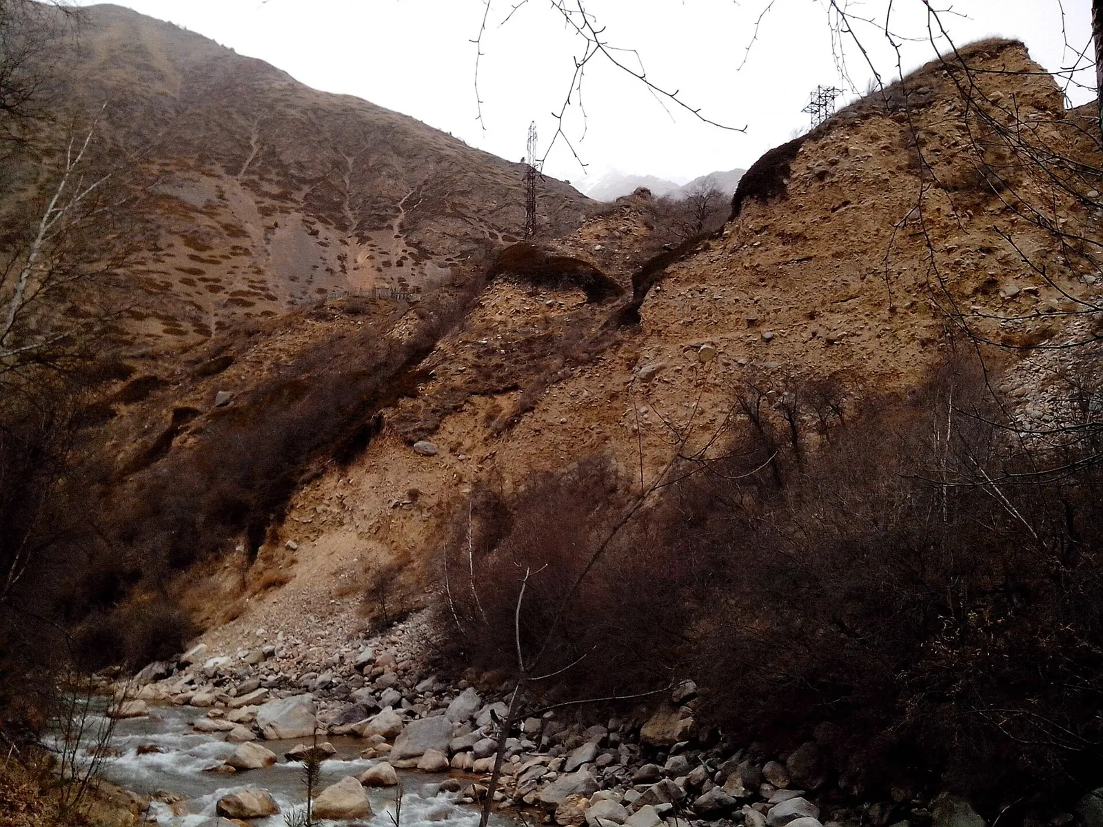
Route photos
4 photos
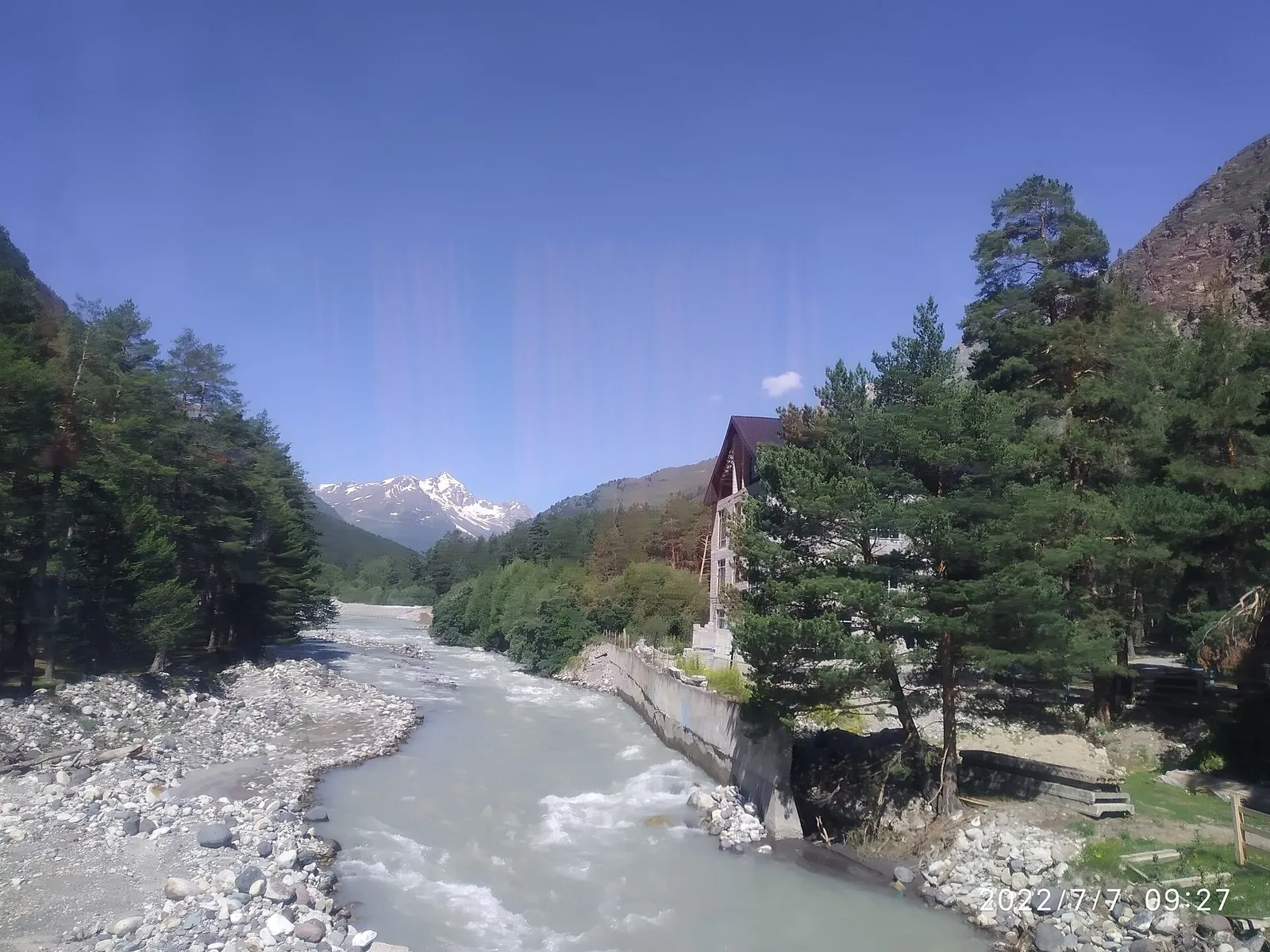
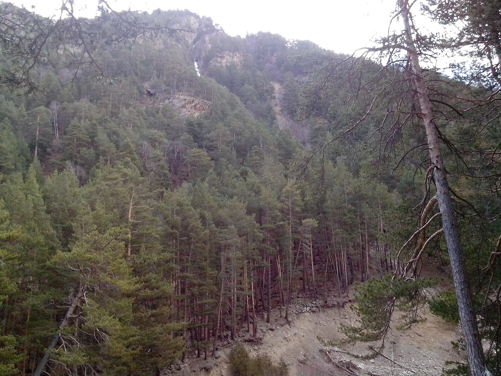
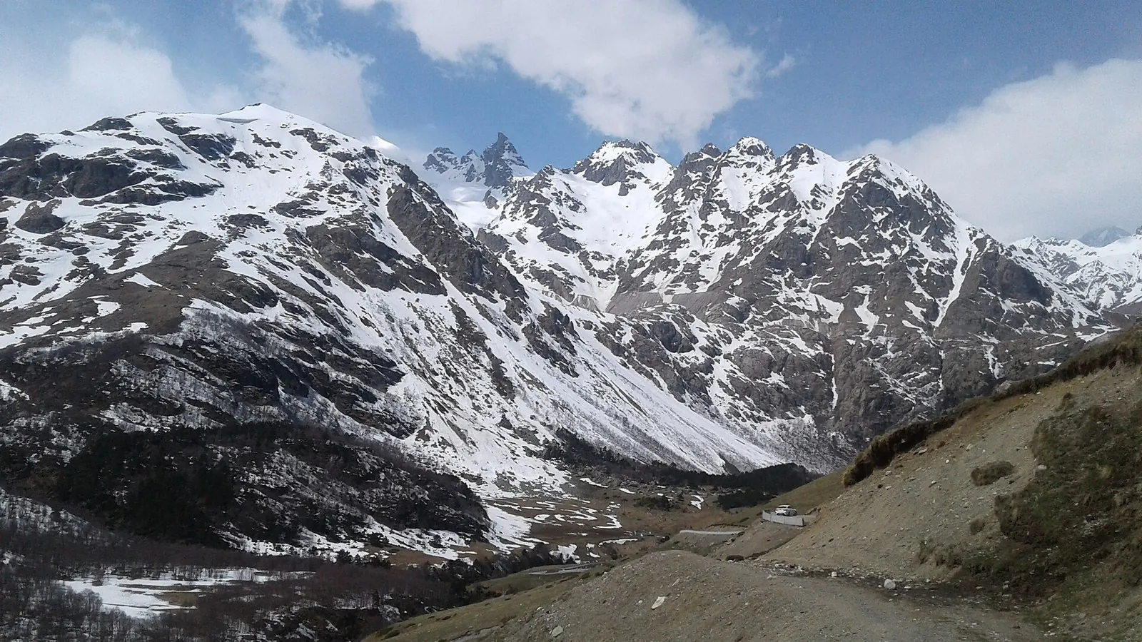
Discussion
Comments 0
Log in to read the discussion and leave comments.
Ask about the route or its surface, or share your experience.