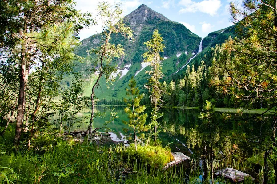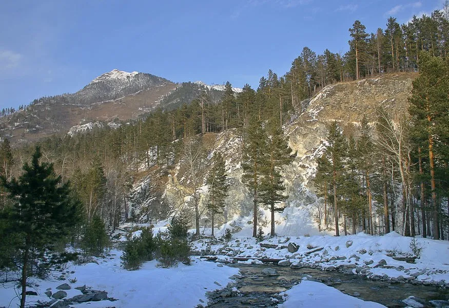


Left Kyngarga: Upper Cirque to the Meeting of the Headwaters
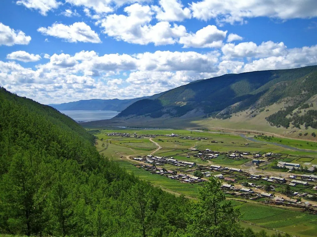
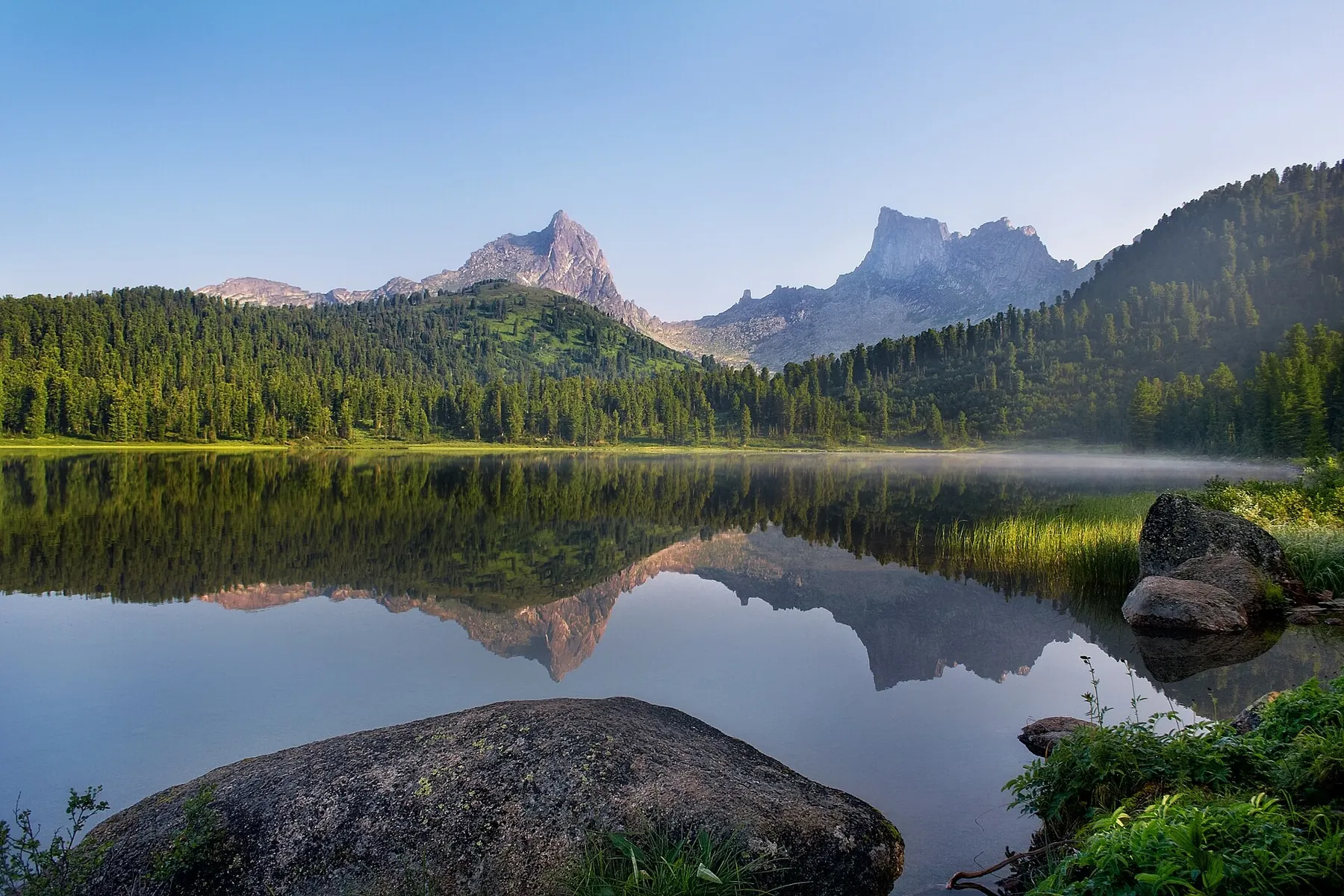
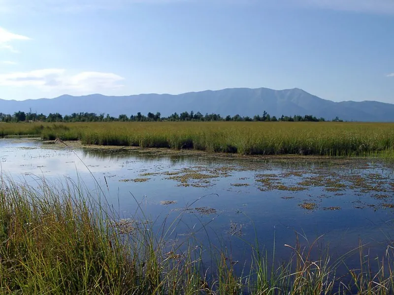
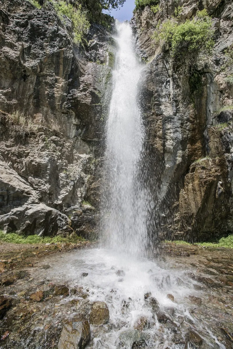
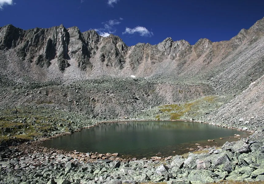
Include a distinct stretch of upper Left Kyngarga in a carefully planned mountain outing. The mountain river valley is th…

Route catalog
Routes tagged Walking routes: choose a track and compare distance, difficulty and logistics before your trip.
Найдём подходящие маршруты по вашим интересам, локации и условиям
Подборка TrailTrack
This collection brings together TrailTrack routes connected with Walking routes. Use it when you want to compare routes by distance, difficulty, region, route type and access before opening a detailed route page.
Each route card includes a map, key metrics, description and GPX/KML. Check weather, season and logistics before heading out.
Found 1281 routes
Curated: 1281 · Community tracks: 0
Include a distinct stretch of upper Left Kyngarga in a carefully planned mountain outing. The mountain river valley is th…
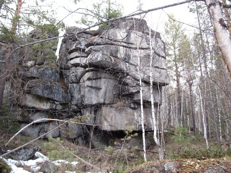
Cross real Central Sayan passes and reach Lower Kinzelyuk Lake’s bank. Valley approaches, named saddles and the upper jou…
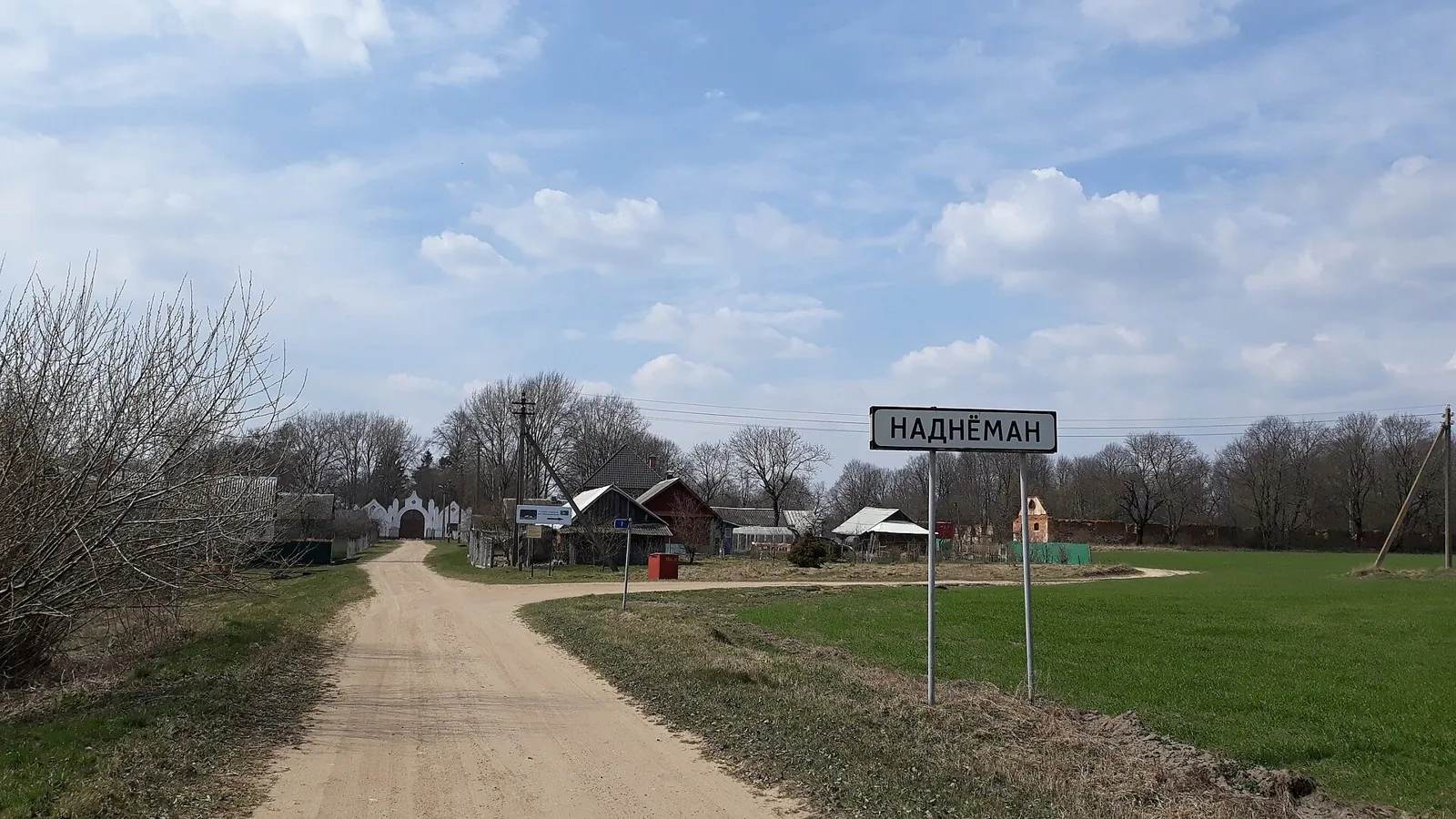
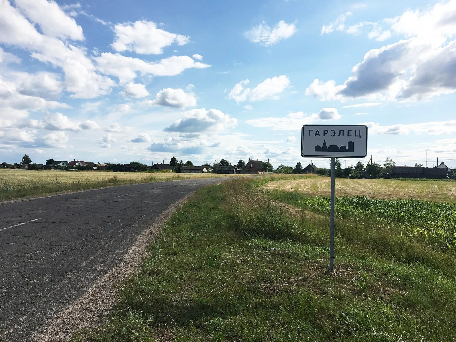
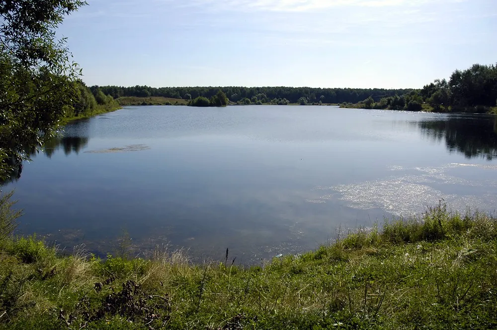
The accessible section combines the Neman with woodland stops beside Zhemchuzhina. The area near Sinka recalls northern G…
Woodland is one of the route's main features along this 109.13 km circular walking route. Gentle terrain: 359 m of total …
Expect woodland is one of the route's main features on this 58.69 km point-to-point walking route. Gentle terrain: 59 m o…
This is a 16.35 km point-to-point walking route with a complete recorded line to follow from start to finish. Rolling ter…
Shore or waterside sections are recorded on the route along this 12.03 km point-to-point walking route. Rolling terrain: …
The interest of this 48.35 km circular cross-country skiing route lies in travelling the distance itself: its gradients, …
Mapped stops at Fortress add clear points of interest along the way. Open views: mapped viewpoints occur along the way. S…
Walk the wooded side of the nature path towards the ranger post and visit the real Grot Viewpoint. The separate Restauran…
Choose this walk for the waterside character of the forest. Plyanta-1, Plyanta-2 and Plyanta-3 offer separate places to p…
Expect shore or waterside sections are recorded on the route on this 2.93 km point-to-point cycling route. Gentle terrain…
Woodland is one of the route's main features along this 7.63 km circular walking route. Noticeable climbing: 212 m of tot…
Expect mapped viewpoints occur along the way on this 5.89 km point-to-point walking route. Gentle terrain: 19 m of total …
This 7.34 km point-to-point walking route passes through terrain where mapped viewpoints occur along the way. Noticeable …
Treat this 5.45 km circular walking route as a complete outing, paying attention to the terrain and changing surface unde…
See Köl-Tör beside its western shore, then continue into the upper valley. Choose this version when you are prepared for …
Explore Zhelanny Pass and separately prepare Biron’s lower exit. The upper saddle offers a specific mountain destination,…
To leave the street briefly for a separate pedestrian passage beside trees. The appeal lies in this small interval betwee…
Find the named Old Road Tavern interpretation stop and explore the woodland between Yuzefin and Radetsk through the histo…
Compare the Pozhezhinsky King Oak and Patriarch Oak, using two different woodland approaches near Romatovo. Leave time be…
Mapped viewpoints occur along the way along this 5.8 km point-to-point walking route. Rolling terrain: 78 m of total asce…
Treat this 1.95 km point-to-point cycling route as a complete outing, paying attention to the terrain and changing surfac…
Treat this 17.71 km point-to-point cross-country skiing route as a complete outing, paying attention to the terrain and c…
Pick where to start
Share a trip