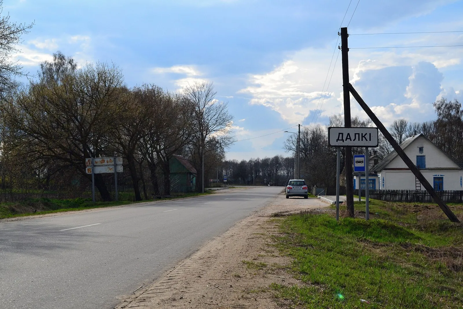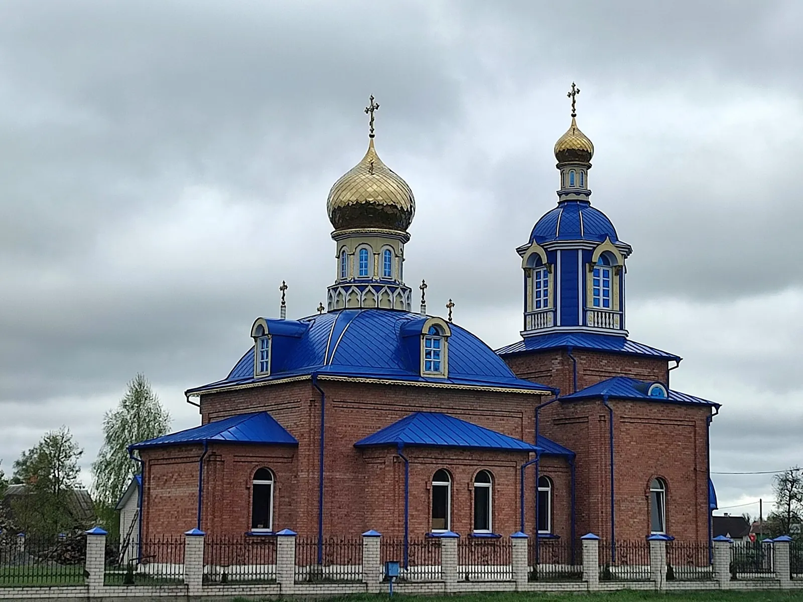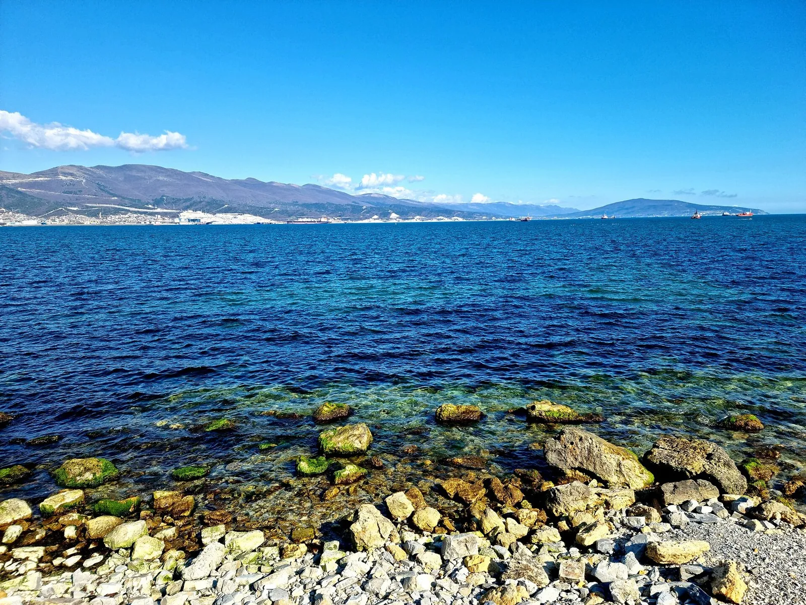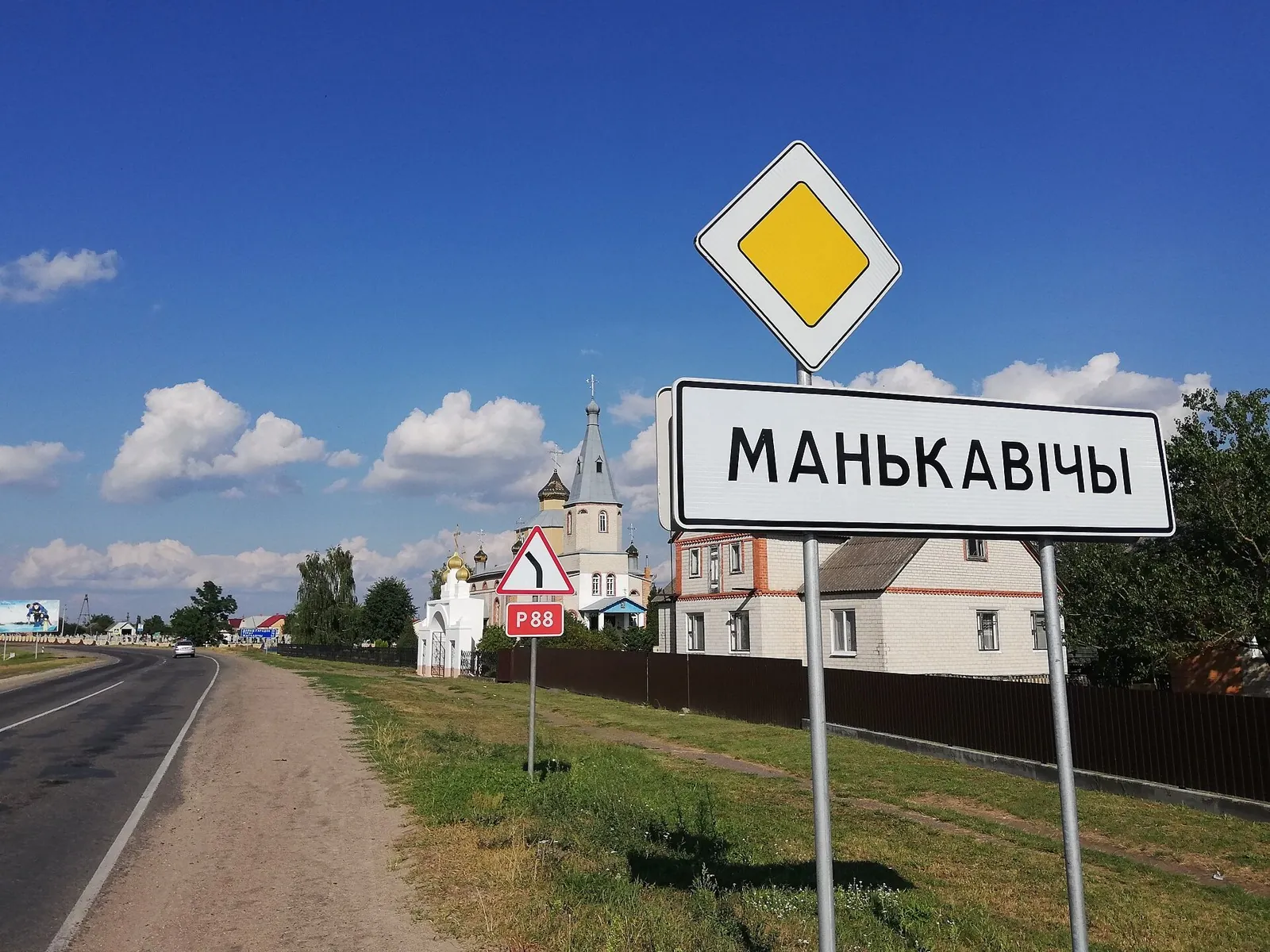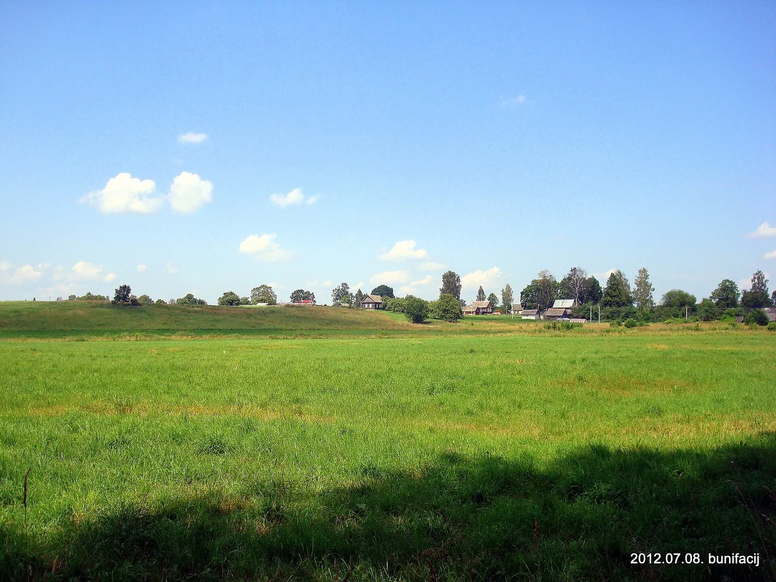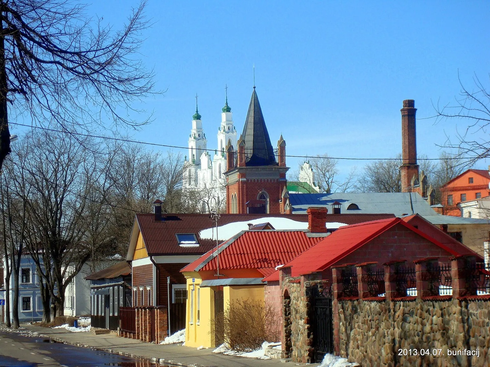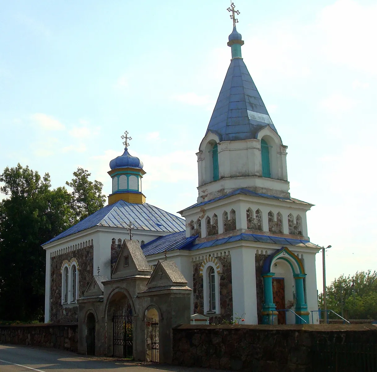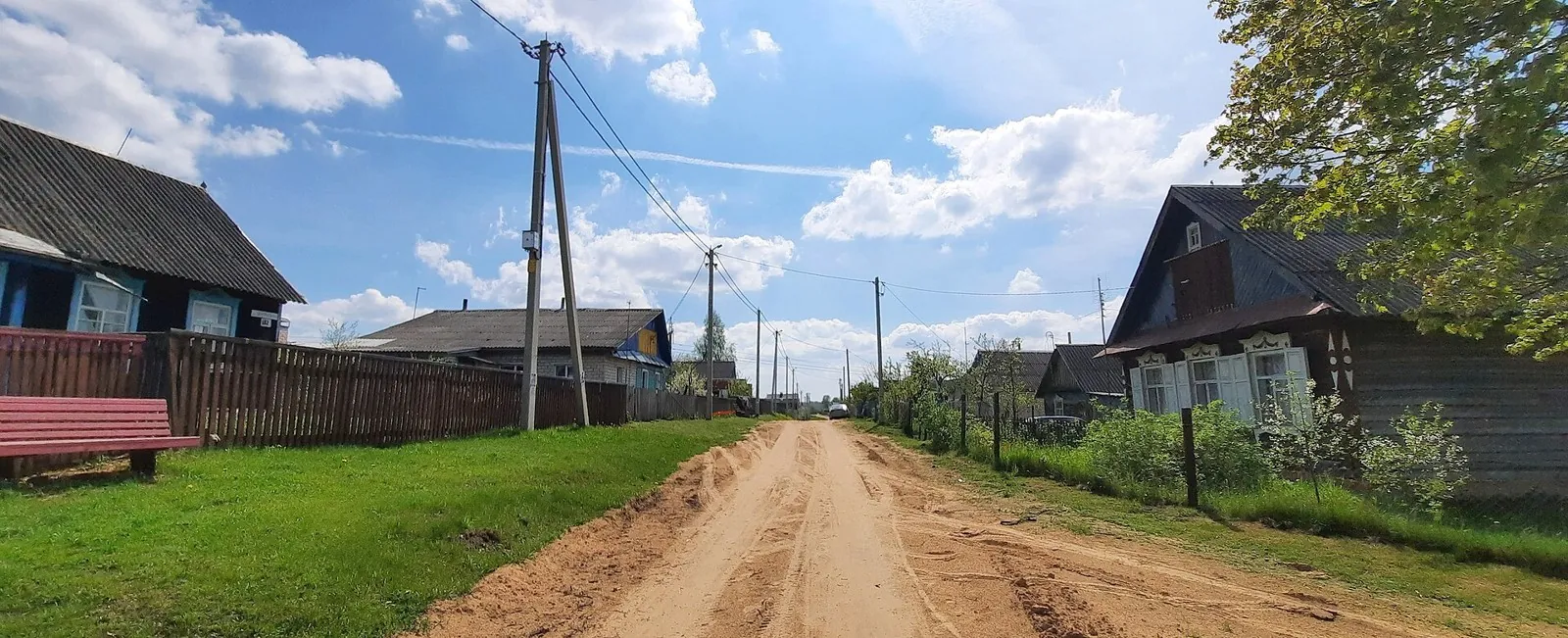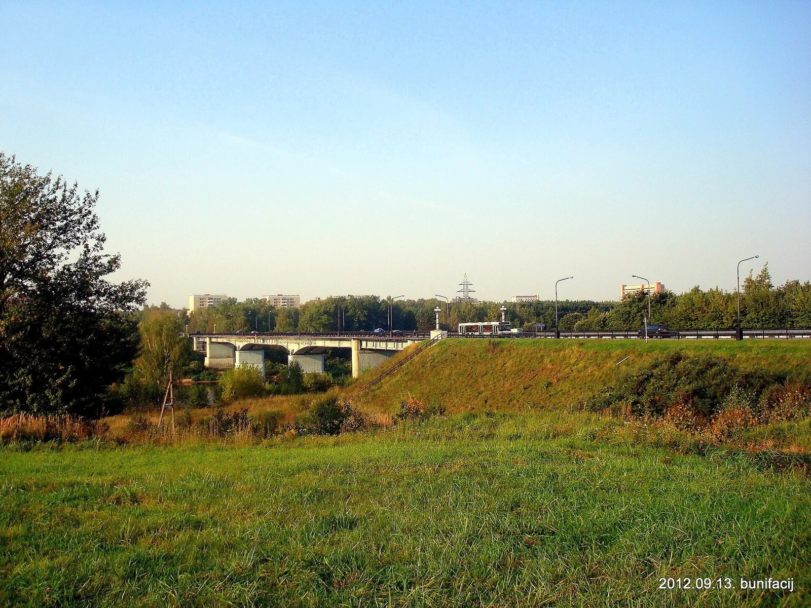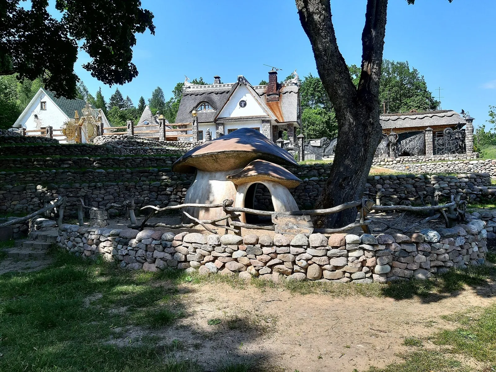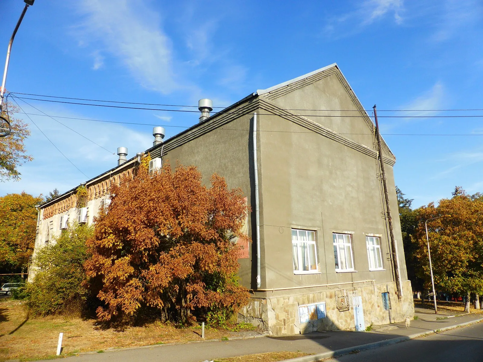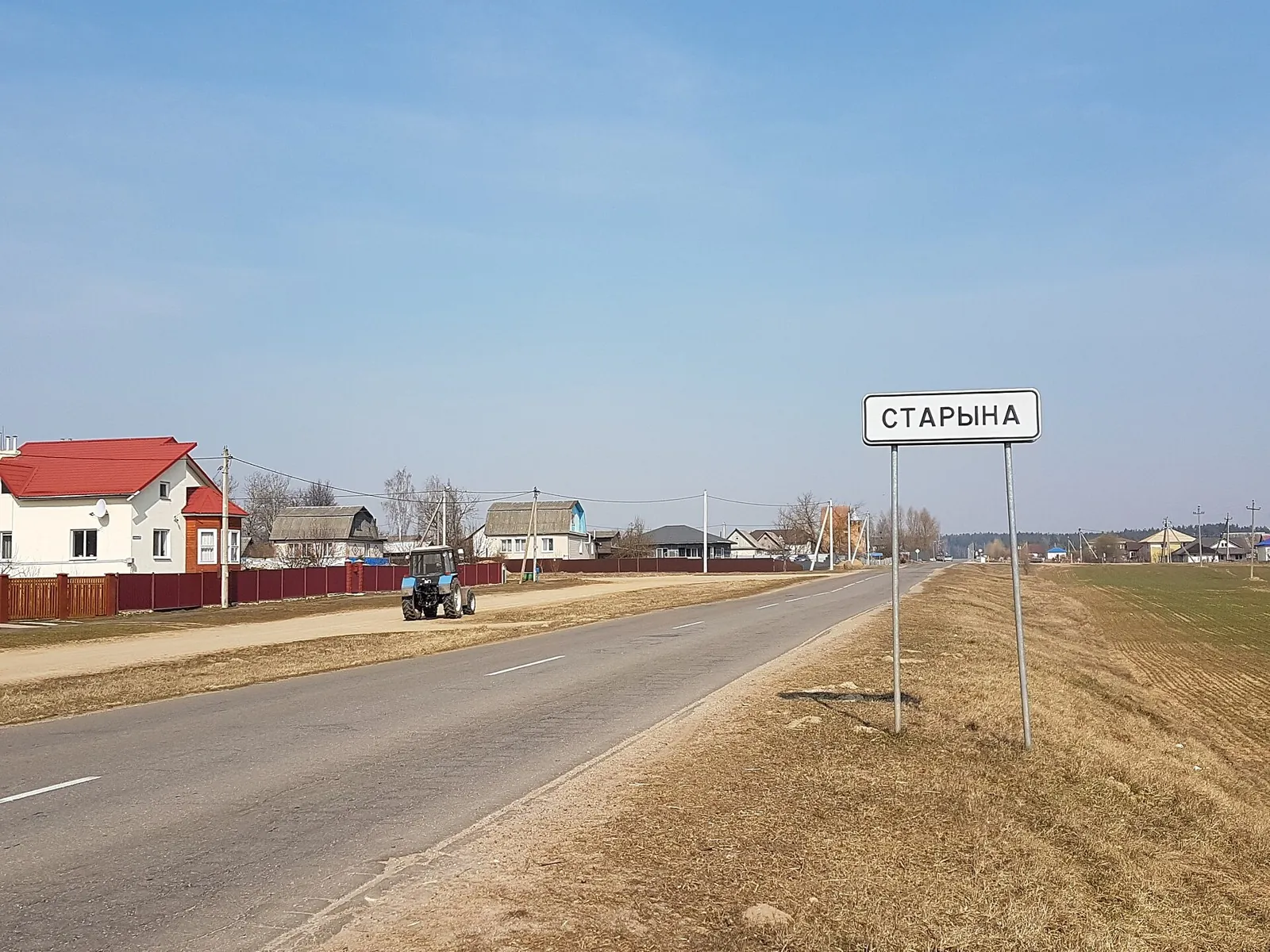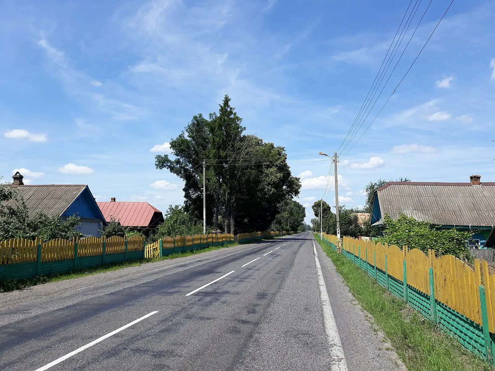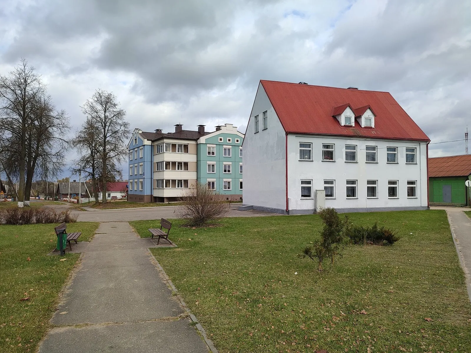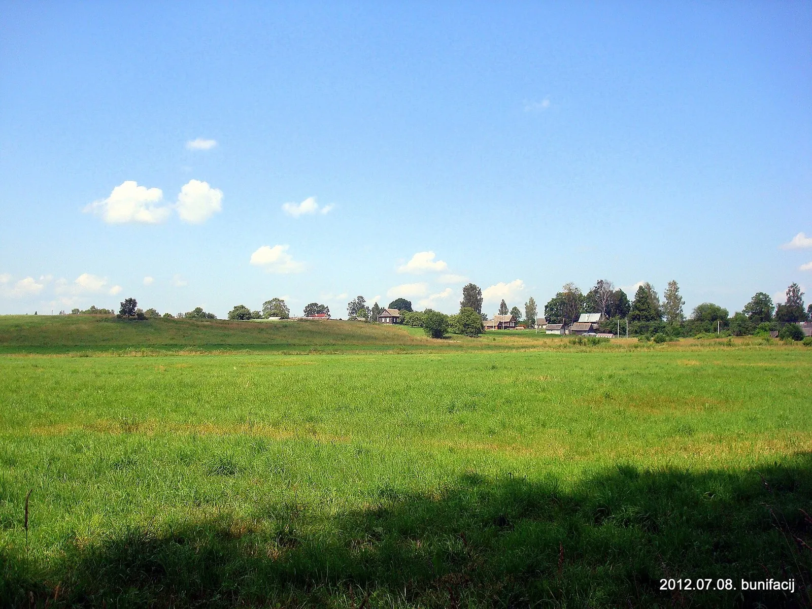


Breakthrough across the Vitebsk Lake District: Southern route
This 299.16 km point-to-point cycling route passes through terrain where shore or waterside sections are recorded on the …

Route catalog
Routes along rivers, lakes, bays, waterfalls and beautiful shorelines.
Найдём подходящие маршруты по вашим интересам, локации и условиям
Подборка TrailTrack
This collection brings together TrailTrack routes connected with Near water. Use it when you want to compare routes by distance, difficulty, region, route type and access before opening a detailed route page.
Each route card includes a map, key metrics, description and GPX/KML. Check weather, season and logistics before heading out.
Found 629 routes
Curated: 629 · Community tracks: 0
This 299.16 km point-to-point cycling route passes through terrain where shore or waterside sections are recorded on the …
This 1000.86 km point-to-point cycling route passes through terrain where shore or waterside sections are recorded on the…
This 1220.72 km point-to-point cycling route passes through terrain where shore or waterside sections are recorded on the…
Once access is confirmed, explore the winter saddle of Koryaksky Pass, Shumnaya’s river side and named Aag Narzans. The s…
Cross Atala-Tektyu and reach Terek-Suu beside the Tar River. The journey links mountain sides with a recognisable village…
Plan this 6.73 km point-to-point cycling route from its verified distance, gradients and recorded surface rather than unc…
The recorded line is a 606.76 km circular cycling route, with shore or waterside sections are recorded on the route. Gent…
The recorded line is a 301.48 km point-to-point cycling route, with shore or waterside sections are recorded on the route…
This 200.98 km point-to-point cycling route passes through terrain where shore or waterside sections are recorded on the …
This 208.92 km point-to-point cycling route passes through terrain where shore or waterside sections are recorded on the …
The main recorded stops are Spring, making this a route to explore rather than rush through. Near the water: shore or wat…
Follow the Kök-Art from the Kazarman side towards the upper Fergana approaches. Get to know the river corridor before tac…
Shore or waterside sections are recorded on the route along this 200.41 km point-to-point cycling route. Gentle terrain: …
Approach Saimaluu-Tash through the Kök-Art valley, visit Jürö-Köl and continue across the Fergana Range. The ancient imag…
Connect several historic settlements in one continuous cycle outing. Rural churches, Ivye’s multi-faith heritage and the …
Plan this 5.75 km circular cycling route from its verified distance, gradients and recorded surface rather than unconfirm…
Shore or waterside sections are recorded on the route along this 206.11 km circular cycling route. Gentle terrain: 320 m …
Shore or waterside sections are recorded on the route along this 1006.18 km circular cycling route. Gentle terrain: 131 m…
Shore or waterside sections are recorded on the route along this 1005.66 km circular cycling route. Gentle terrain: 391 m…
This 122.51 km point-to-point cycling route passes through terrain where shore or waterside sections are recorded on the …
Connect the Naryn River with the Kök-Art and the Kazarman side of the mountains. Village roads gradually give way to a ri…
Plan this 5.89 km point-to-point walking route from its verified distance, gradients and recorded surface rather than unc…
This point-to-point route is about 5.3 km long. Use Kokshoky to locate the starting area. Use Kokshoky as the starting r…
The recorded line is a 601.72 km circular cycling route, with shore or waterside sections are recorded on the route. Gent…
Pick where to start
Share a trip