TrailTrack routes

Маршруты с подготовленным описанием, сложностью, покрытием и планированием визита.

Found 1895 routes
Choose a route from the list or view routes on the map.
Kaspersky Race: Children’s Trail
✓ TrailTrack

Kaspersky Race: Children’s Trail

Hiking · One-day

Woodland is one of the route's main features along this 1.56 km circular walking route. Noticeable climbing: 39 m of total ascent over 1.56 km. Surface: natural ground. Estimated moving time is about 0.7 hours; add time for pauses and navigation.

1.6 km 113 +39 m Easy
Vileyka Loop: Quiet-road variant
✓ TrailTrack

Vileyka Loop: Quiet-road variant

КП2, Сосенка, 169км · Bicycle · Multi-day

This is a 301.55 km point-to-point cycling route. Woodland is one of the route's main features. Gentle terrain: 165 m of total ascent over 301.55 km. Surface: asphalt. Allow at least 4 days and verify overnight and exit options independently.

301.6 km 113 +165 m Hard
Pyshki Health Trail: the earth fort and the Neman bank
✓ TrailTrack

Pyshki Health Trail: the earth fort and the Neman bank

Bicycle · One-day

This version combines the ordinary pleasures of Grodno’s forest park with the unexpected earth fort. The Neman gives the walk a clear focus, and Usiki offers a specific riverside stopping place. Walking and relaxed cycling are both options.

6.5 km 113 +42 m Easy
Around Begovye Lyzhi
✓ TrailTrack

Around Begovye Lyzhi

Skiing · One-day

This is a 0.58 km circular cross-country skiing route with a complete recorded line to follow from start to finish. Rolling terrain: 10 m of total ascent over 0.58 km. Surface: natural ground. Estimated moving time is about 0.3 hours; add time for pauses and navigation.

0.6 km 113 +10 m Easy
Borus Upper Woodland Approach: From the Shelter to the Rocky Streambed
✓ TrailTrack

Borus Upper Woodland Approach: From the Shelter to the Rocky Streambed

Hiking · One-day

The upper trail lets you concentrate on the wooded Talovka Valley and the rocky streambed below Borus. Plan the lower access separately and reserve time for the waterfall only when an additional visit is safe and authorised. The distinction makes the day easier to organise.

2.0 km 113 +272 m Easy
Three sides from Central: Pinachevo, Dzendzur and the Avachinsky exit
✓ TrailTrack

Three sides from Central: Pinachevo, Dzendzur and the Avachinsky exit

Волонтерка · Travel · Multi-day

Explore different sides of Nalychevo: woodland and Pinachevsky Pass, Dzendzur’s northern volcanic approach, mineral springs and the Shumnaya on the southern outing. Choose one direction for a separate journey or agree several outings using the central area as a shared base.

109.5 km 113 +1507 m Hard
Bratsk’s Sosnovy Bor: Forest Ride by the Hut and Upper Nituk Stream
✓ TrailTrack

Bratsk’s Sosnovy Bor: Forest Ride by the Hut and Upper Nituk Stream

Bicycle · One-day

Spend time on woodland paths near Bratsk and notice small places easily missed during a town ride: the forest hut and Upper Nituk Stream. The northern loop adds forest riding, while unpaved connections let you experience the terrain and bicycle handling. Careful riding and brief waterside stops suit the outing, with a return plan made in advance.

15.9 km 113 +332 m Moderate
Nekrasovskaya to Morozki: Nerskoye woods, Klubish and the broad northern arc
✓ TrailTrack

Nekrasovskaya to Morozki: Nerskoye woods, Klubish and the broad northern arc

Moscow region · Skiing · One-day

Connect the protected Nerskoye woods with two distinct Klubish locations and finish around a broad northern arc towards Morozki. Beyond the stream, the woodland journey follows its own continuation rather than turning to Iksha; this gives the passage its particular character.

38.3 km 113 +512 m Hard
New Year Run 2022: Bakovka, Three Glades, Munchausen and Nasreddin
✓ TrailTrack

New Year Run 2022: Bakovka, Three Glades, Munchausen and Nasreddin

Moscow region · Run · One-day

Repeat the specific 2022 New Year running course from Bakovka, in which Romashkovo’s glades and Skolkovo art culminate in two literary characters. The journey links woodland, river and urban sculpture, ending on Moscow’s Molodyozhnaya side.

42.3 km 113 +658 m Hard
Belokorets Nature Trail
✓ TrailTrack

Belokorets Nature Trail

Hiking · One-day

Woodland is one of the route's main features along this 1.28 km circular walking route. Gentle terrain: 10 m of total ascent over 1.28 km. Estimated moving time is about 0.6 hours; add time for pauses and navigation.

1.3 km 112 +10 m Easy
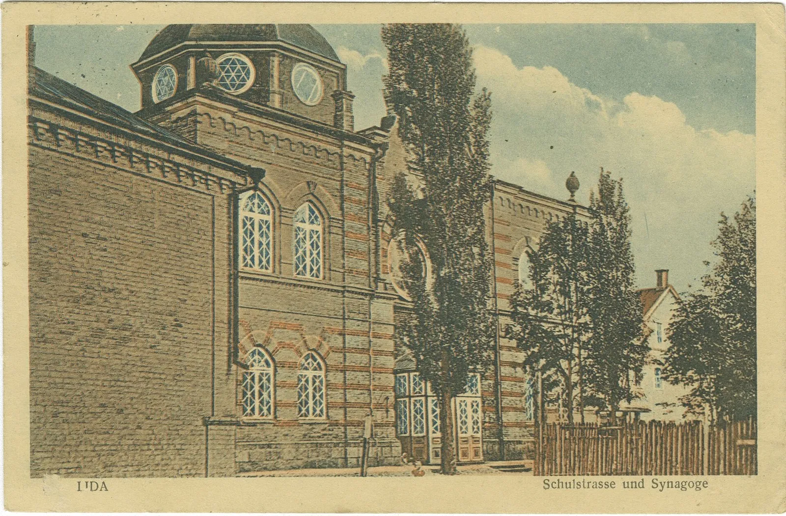
Beside Borovka Allotments: Lida’s Short Woodland Loop
✓ TrailTrack

Beside Borovka Allotments: Lida’s Short Woodland Loop

Hiking · One-day

Choose a compact woodland outing returning to its departure. It suits quiet walking and a change from city surroundings to the greener western side without an additional heritage programme.

1.5 km 112 +7 m Easy
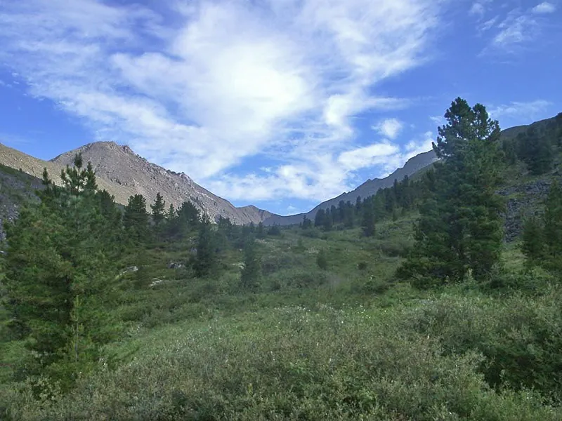
Section Road and Trail through Ekhe-Bulnayu
✓ TrailTrack

Section Road and Trail through Ekhe-Bulnayu

Hiking · One-day

The recorded line is a 15.93 km point-to-point walking route, with mapped viewpoints occur along the way. Strong mountain relief: 966 m of total ascent over 15.93 km. Surface: improved surface. Estimated moving time is about 6.3 hours; add time for pauses and navigation.

15.9 km 112 +966 m Hard
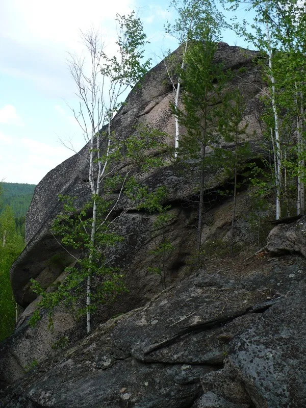
To Skalnikov Smolenskiy and Verblyud
✓ TrailTrack

To Skalnikov Smolenskiy and Verblyud

Hiking · One-day

Treat this 11.14 km point-to-point walking route as a complete outing, paying attention to the terrain and changing surface underfoot. Strong mountain relief: 1348 m of total ascent over 11.14 km. Estimated moving time is about 5.5 hours; add time for pauses and navigation.

11.1 km 112 +1348 m Hard
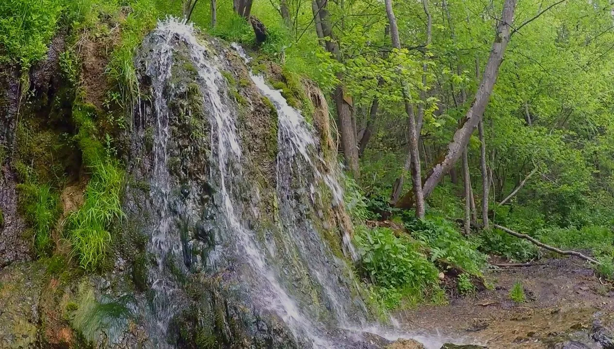
To Raduzhny from 252 km Stop: Lykovsky Pond and the Nara Bank
✓ TrailTrack

To Raduzhny from 252 km Stop: Lykovsky Pond and the Nara Bank

Moscow region · Hiking · One-day

Reach Raduzhny through places where water takes different forms: small Barsky Stream, quiet Lykovsky Pond and the Nara beside a spring-fed slope. The change between village roads and wooded approaches makes the waterfall the focus of an independent outing. Choose a dry day and leave time simply to listen to the water.

18.3 km 112 +122 m Moderate
Around Trail "Master ", Forest Circuit: Through Forest Trails and Clearings
✓ TrailTrack

Around Trail "Master ", Forest Circuit: Through Forest Trails and Clearings

Moscow region · Skiing · One-day

Woodland is one of the route's main features along this 2.28 km point-to-point cross-country skiing route. Noticeable climbing: 55 m of total ascent over 2.28 km. Estimated moving time is about 0.6 hours; add time for pauses and navigation.

2.3 km 112 +55 m Easy
Polushkino to Teatralnaya: The Northern Summer Run via Kryukovo
✓ TrailTrack

Polushkino to Teatralnaya: The Northern Summer Run via Kryukovo

Moscow region · Run · One-day

See Vasilyevskoye from its suspension crossing, pause near the Kryukovo spring and reach the woodland Gnilyusha on the northern side. This option extends the river idea with a longer forest loop than the shortened road journey to Teatralnaya. Two different Moscow River crossings show the changing rural and wooded character of the area.

30.6 km 112 +216 m Hard
Protected Oak Grove: Triple-trunk Oak, Collared Pine and Grabovskaya Hill
✓ TrailTrack

Protected Oak Grove: Triple-trunk Oak, Collared Pine and Grabovskaya Hill

Protected Oak Grove: Triple-trunk Oak · Hiking · One-day

Meet the Triple-trunk Oak and Collared Pine, walk beside Grabovskaya Hill and explore the sessile-oak grove through specific woodland stops.

4.3 km 112 +15 m Moderate
Chuchkhur Waterfalls: the Woodland and Valley Descent to Dombai
✓ TrailTrack

Chuchkhur Waterfalls: the Woodland and Valley Descent to Dombai

Hiking · One-day

The two cascades offer a comparison of the same mountain stream before the wooded slope gives way to the valley. Dombai provides a clear finish, but permission to reach the upper start must be established in advance.

6.7 km 111 +0 m Easy
Ozeravki in Yelnya: woodland approach to the bog viewpoint
✓ TrailTrack

Ozeravki in Yelnya: woodland approach to the bog viewpoint

Hiking · One-day

Experience the change from woodland to open raised bog and pause beside small pools. The boardwalk lets you observe this fragile landscape without stepping onto its peat surface.

2.6 km 111 +3 m Easy
Lyntupy and Romanishki: rural cycling circuit with chapel and estate site
✓ TrailTrack

Lyntupy and Romanishki: rural cycling circuit with chapel and estate site

Bicycle · One-day

Combine an exterior visit to Lyntupy’s church with the roadside chapel and Dowgiallo estate site in Romanishki. The rural return provides a quieter change of setting after the settlement streets.

11.3 km 111 +45 m Moderate
Brest: Quiet-Road Cycling Route
✓ TrailTrack

Brest: Quiet-Road Cycling Route

Bicycle · One-day

The interest of this 4.05 km point-to-point cycling route lies in travelling the distance itself: its gradients, surface and rhythm. Gentle terrain: 12 m of total ascent over 4.05 km. Estimated moving time is about 0.5 hours; add time for pauses and navigation.

4.1 km 111 +12 m Easy
Serebryanikovskaya
✓ TrailTrack

Serebryanikovskaya

Hiking · One-day

Expect shore or waterside sections are recorded on the route on this 1.08 km point-to-point walking route. Gentle terrain: 3 m of total ascent over 1.08 km. Surface: natural ground. Estimated moving time is about 0.5 hours; add time for pauses and navigation.

1.1 km 111 +3 m Easy
Trail Sinilga
✓ TrailTrack

Trail Sinilga

Hiking · One-day

This 1.67 km point-to-point walking route is shaped by its terrain, surface and pace rather than a single landmark. Rolling terrain: 27 m of total ascent over 1.67 km. Surface: natural ground. Estimated moving time is about 0.7 hours; add time for pauses and navigation.

1.7 km 111 +27 m Easy
Podkamennoy to Irkuta: Walking Route
✓ TrailTrack

Podkamennoy to Irkuta: Walking Route

Hiking · Multi-day

Mapped viewpoints occur along the way along this 42.21 km point-to-point walking route. Noticeable climbing: 1453 m of total ascent over 42.21 km. Allow at least 3 days and verify overnight and exit options independently.

42.2 km 111 +1453 m Hard
Back Page 33 of 79 Next