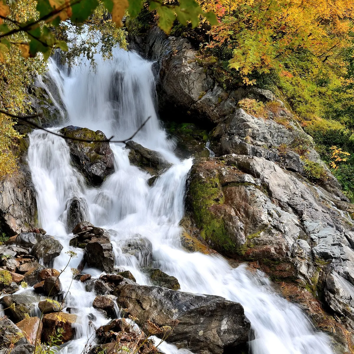



Chuchkhur Waterfalls: the Woodland and Valley Descent to Dombai
- Distance
- 6.7 km
- Time
- 1 h 59 min
- Elevation gain
- —
- Difficulty
- Easy




 Open on map
 Download route
Route description

Route status
Проверяем свежесть данных по треку и учитываем сообщения сообщества
Запретов на посещение и пожаров рядом нет
Проверяем спутниковые данные о пожарах и предупреждения по региону.
Подробнее о состоянии маршрута No recent trail condition reports


This route was added from a track. Individual sections have not been checked in the field.
Route data was imported from GPX and has not been field-verified.

Before travelling, check trail access, restrictions and the weather forecast.

Conditions may have changed. Share a report after completing the route.

Recent completions
Be the first to confirm a completion and help other travellers.
Before you go
Всё важное о маршруте
 Route at a glance
Главное за минуту
- Length
- 6.7 km
- Elevation gain
- —
- Surface
- Нет данных




 Route suitability
Кому будет комфортно
 Nearby
Getting there
Варианты и важные моменты
 Show on map

 Without a car
 By car
 Parking
Электрички туда и обратно
Расписание на дату и время, до которого нужно выйти на маршрут
 What to expect
Places

 Difficult sections and safety
На что обратить внимание
Elevation gainДанные по набору высоты уточняются.
SurfaceТип покрытия пока не определён.
 Риски
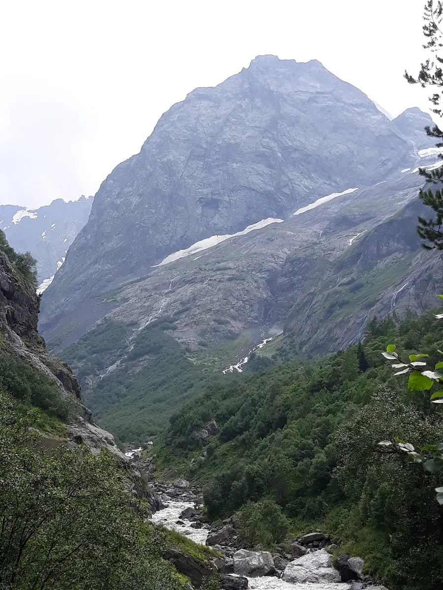
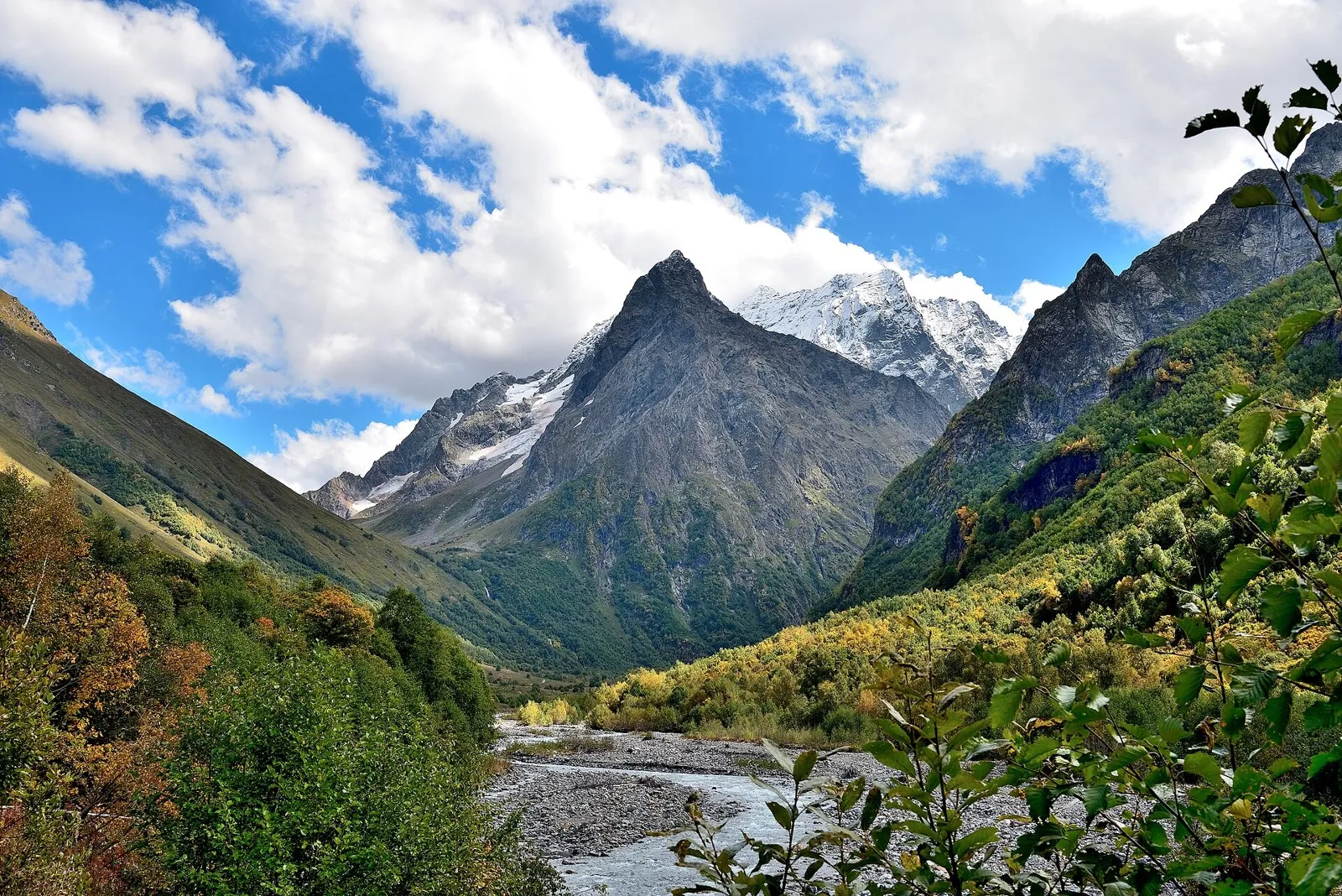
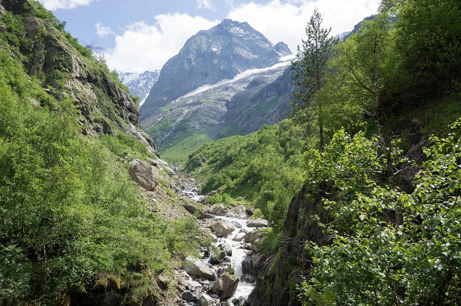
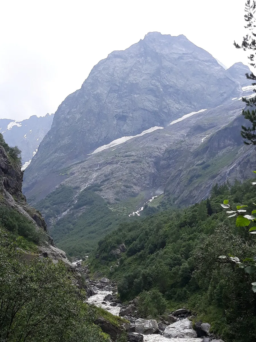
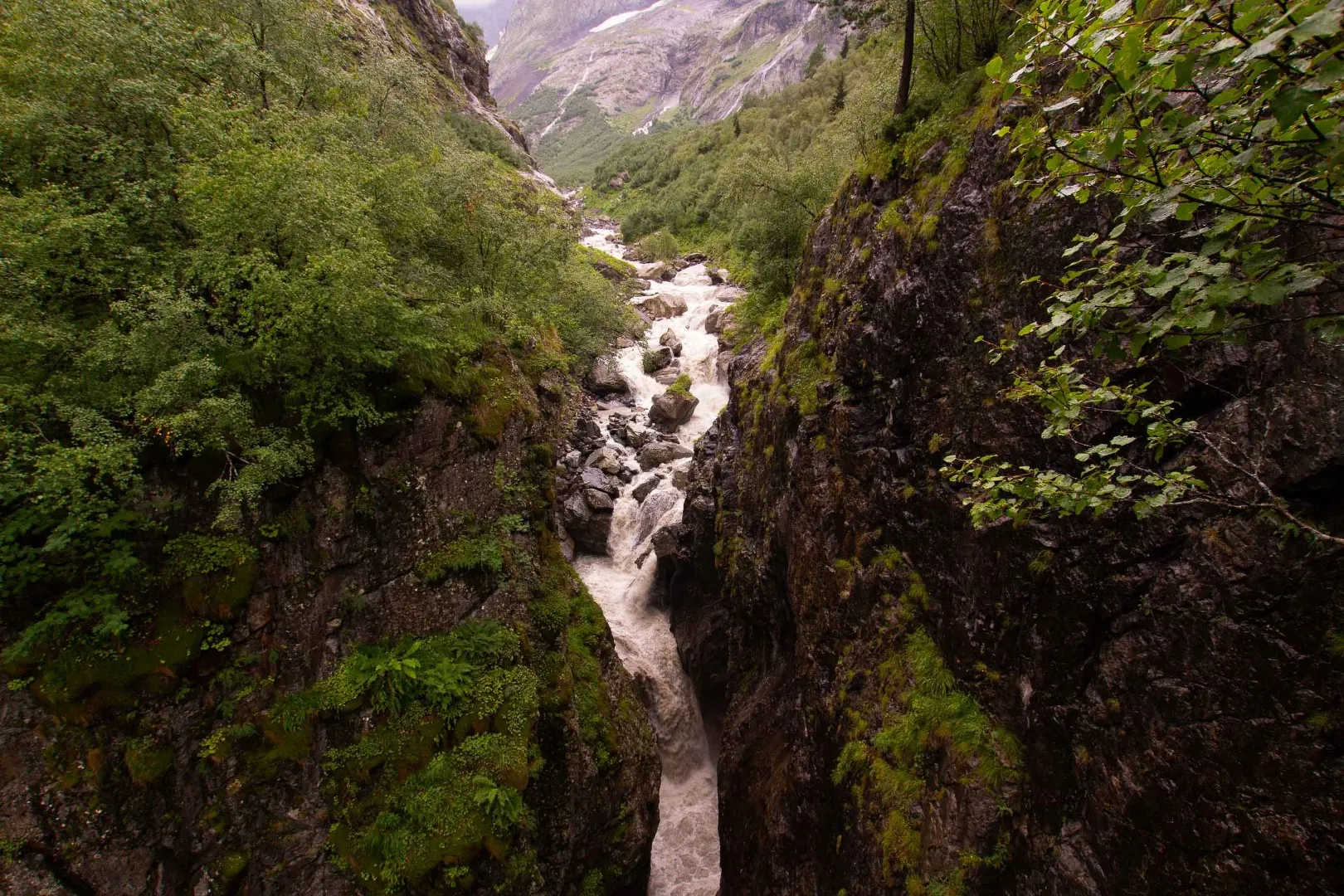
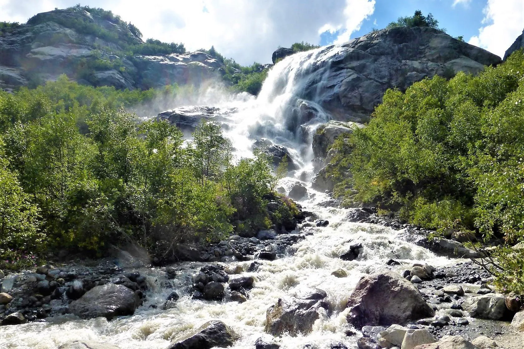
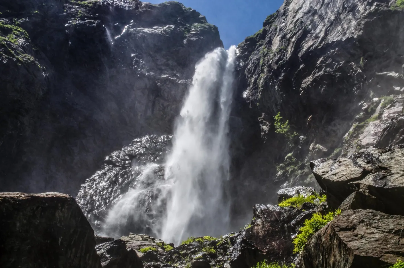
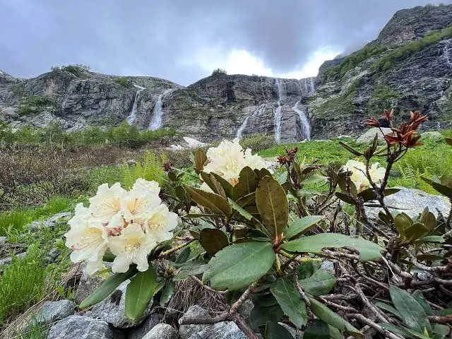
The woodland descent from the cascades is steep; wet stones, roots and crossings require care. Keep back from waterfall edges. Arrange the border permit independently beforehand because the park currently cannot issue one. The document itself does not replace confirmation that the selected upper continuation is permitted and safe.
Риски
The woodland descent from the cascades is steep; wet stones, roots and crossings require care. Keep back from waterfall edges. Arrange the border permit independently beforehand because the park currently cannot issue one. The document itself does not replace confirmation that the selected upper continuation is permitted and safe.
 How much time to allow
Оцените свой темп
 Time for the route
2–3 h descending
Time for the route
2–3 h descending
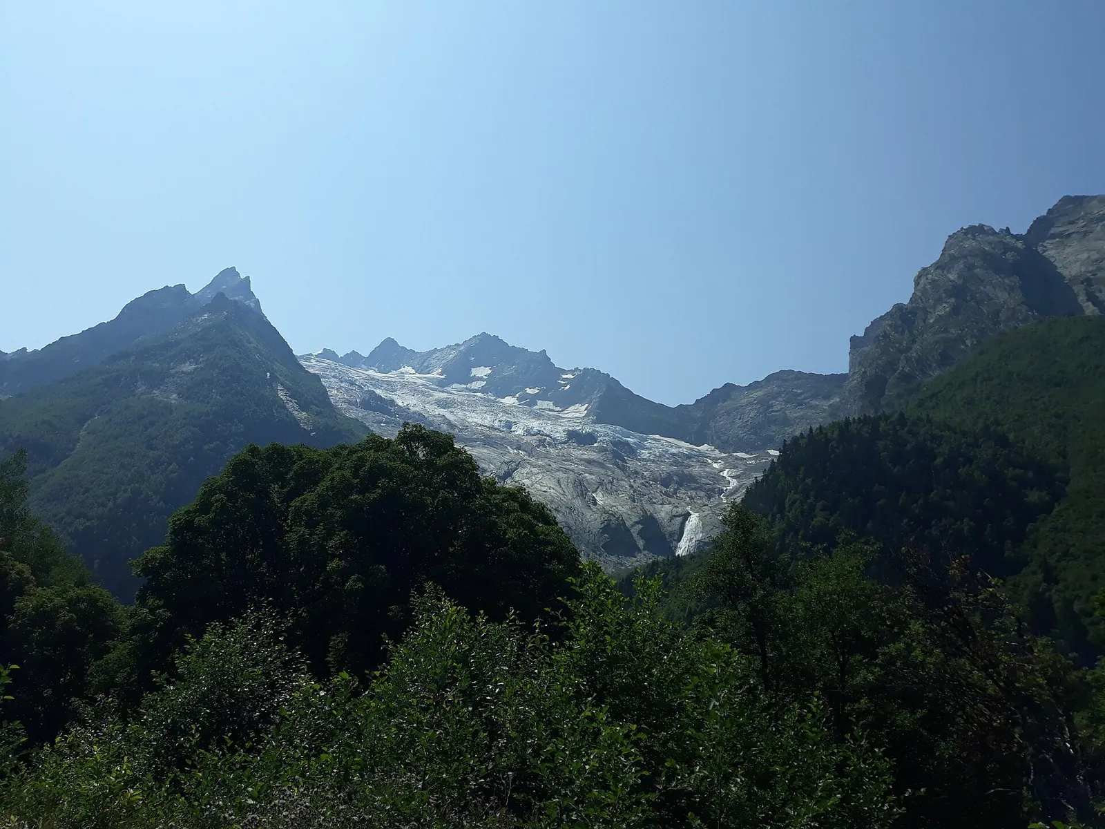
 With stops | 3–4 h This editorial allowance covers the selected descent from Upper Chuchkhur via the lower cascade and valley approach to Dombai. The uphill journey to the start is excluded; a complete outward-and-return outing needs a separate longer day. General access is currently limited to Russian Meadow, so use the upper descent plan only after continuation is permitted and documents are arranged in advance.
 Best time to go
Сезонность и рекомендации


 What to bring
Базовый список для комфортного похода




FAQ
Questions before the trip
Can I do this route without a car?
The park names regional arrival through Mineral Waters Airport (MRV) followed by a transfer or bus journey to Dombai. Check current departures separately. Public transport to the upper cascade is unconfirmed; an independent mountain approach is needed first
Is this route suitable for children?
Possible with caution: review the surface, difficult sections, and extra time for stops in advance.
Can I download GPX and KML?
Yes, GPX and KML are available on the route page. Open the map, download the file, and use it in a navigator before your trip; key route facts: 6.7 km, easy.
Route photos
4 photos
Discussion
Comments 0
Log in to read the discussion and leave comments.
Ask about the route or its surface, or share your experience.