TrailTrack routes

Маршруты с подготовленным описанием, сложностью, покрытием и планированием визита.

Found 1895 routes
Choose a route from the list or view routes on the map.
Nekrasovskaya to Iksha: the western Nerskoye woodland loop and northern Klubish
✓ TrailTrack

Nekrasovskaya to Iksha: the western Nerskoye woodland loop and northern Klubish

Moscow region · Skiing · One-day

Choose an extra western woodland turn and approach the Klubish from a different direction than the more direct version. The protected Nerskoye woods remain part of the journey, while the northern river location changes its final woodland sequence towards Iksha.

28.9 km 109 +348 m Hard
Bakovka to Kuntsevo: The 2025 Marathon via Meshchersky, Skolkovo and Romashkovo
✓ TrailTrack

Bakovka to Kuntsevo: The 2025 Marathon via Meshchersky, Skolkovo and Romashkovo

Moscow region · Run · One-day

Link Meshchersky Pond, Skolkovo, Novaya Tryokhgorka and Romashkovo Forest in one substantial run. Nature and urban culture actually alternate here: water and woodland clearings are joined by Malevich’s Cipher and Bibigon, with a finish inside Moscow.

41.1 km 109 +415 m Hard
Minsk: Logoisk Hills: Minsk
✓ TrailTrack

Minsk: Logoisk Hills: Minsk

маг1 · Hiking · Multi-day

Woodland is one of the route's main features along this 109.13 km circular walking route. Gentle terrain: 359 m of total ascent over 109.13 km. Surface: asphalt plus concrete. Allow at least 5 days and verify overnight and exit options independently.

109.1 km 108 +359 m Hard
Neman Forest Route: Southern route
✓ TrailTrack

Neman Forest Route: Southern route

Hiking · Multi-day

Expect woodland is one of the route's main features on this 58.69 km point-to-point walking route. Gentle terrain: 59 m of total ascent over 58.69 km. Surface: natural ground plus compacted ground. Allow at least 3 days and verify overnight and exit options independently.

58.7 km 108 +59 m Hard
Raubichi: Silichi Winter Ski Route: via Logoisk
✓ TrailTrack

Raubichi: Silichi Winter Ski Route: via Logoisk

Очаг, 15км · Skiing · One-day

The interest of this 48.35 km circular cross-country skiing route lies in travelling the distance itself: its gradients, surface and rhythm. Gentle terrain: 181 m of total ascent over 48.35 km. Estimated moving time is about 8.5 hours; add time for pauses and navigation.

48.4 km 108 +181 m Hard
From the Kamenyuki Entrance via Pashuki: A Through Ride
✓ TrailTrack

From the Kamenyuki Entrance via Pashuki: A Through Ride

КПП · Bicycle · One-day

Leave the visitor entrance for the working Pashuki church and discover the inhabited side of the forest. Finishing on the eastern road allows an agreed onward journey instead of returning to the visitor entrance.

22.0 km 108 +60 m Moderate
Raduzhnoye and Lazurnoye Lakes: Separate Ergaki Pass Sections
✓ TrailTrack

Raduzhnoye and Lazurnoye Lakes: Separate Ergaki Pass Sections

Hiking · One-day

Visit the shore sides of Raduzhnoye and Lazurnoye Lakes and cross the specific Golova, Intermediate, Artists 1, Sleeping Sayan and Taigish 2 saddles. Each section has its own mountain approach and independent ending.

9.2 km 108 +584 m Hard
Woodland descent to Tushkanchik and a separate Restaurant Camp branch
✓ TrailTrack

Woodland descent to Tushkanchik and a separate Restaurant Camp branch

Hiking · One-day

Walk the wooded side of the nature path towards the ranger post and visit the real Grot Viewpoint. The separate Restaurant Camp branch can help prepare another approach to the shared junction after agreeing the whole programme.

6.8 km 108 +97 m Moderate
From Orlyonka to Starukhi and Dalee to Shakhtanskikh Kamney: A Trail Above the Valleys
✓ TrailTrack

From Orlyonka to Starukhi and Dalee to Shakhtanskikh Kamney: A Trail Above the Valleys

Горнолыжка · Hiking · One-day

Mapped stops at Fortress add clear points of interest along the way. Open views: mapped viewpoints occur along the way. Strong mountain relief: 1069 m of total ascent over 17.06 km. Estimated moving time is about 6.8 hours; add time for pauses and navigation.

17.1 km 108 +1069 m Hard
Bolshaya Olkha Headwaters: Route to the Rock Outcrop
✓ TrailTrack

Bolshaya Olkha Headwaters: Route to the Rock Outcrop

Hiking · One-day

This 7.34 km point-to-point walking route passes through terrain where mapped viewpoints occur along the way. Noticeable climbing: 283 m of total ascent over 7.34 km. Surface: natural ground plus mud and grass. Estimated moving time is about 2.6 hours; add time for pauses and navigation.

7.3 km 108 +283 m Moderate
Bay Dyrovataya: Nochyovka
✓ TrailTrack

Bay Dyrovataya: Nochyovka

Hiking · One-day

Shore or waterside sections are recorded on the route along this 12.03 km point-to-point walking route. Rolling terrain: 239 m of total ascent over 12.03 km. Estimated moving time is about 3.9 hours; add time for pauses and navigation.

12.0 km 108 +239 m Moderate
Woodland cycling approach to Molokovka’s western edge
✓ TrailTrack

Woodland cycling approach to Molokovka’s western edge

Bicycle · One-day

Ride a wooded arc from the northwestern slopes towards Molokovka’s edge. It can serve as an independent cycling connection after checking both external approaches.

3.7 km 108 +67 m Easy
Blagoveshchenye: the footpath from Festivalnaya to Pesochny Lane
✓ TrailTrack

Blagoveshchenye: the footpath from Festivalnaya to Pesochny Lane

Moscow region · Hiking · One-day

To leave the street briefly for a separate pedestrian passage beside trees. The appeal lies in this small interval between Festivalnaya Street and the lanes, useful when you want to stretch your legs without planning a substantial outing.

0.6 km 108 +12 m Easy
Morozki to Iksha: two Klubish locations and the southern return
✓ TrailTrack

Morozki to Iksha: two Klubish locations and the southern return

Moscow region · Skiing · One-day

Follow a western woodland arc with two separated Klubish encounters, then add the southern return before continuing towards Iksha. For an independent ski outing, the changing river and woodland sequence between two railway ends gives this version its interest.

23.2 km 108 +359 m Hard
Archival Sotnya 2015: western-arc Klubish and eastern-arc Yakhroma
✓ TrailTrack

Archival Sotnya 2015: western-arc Klubish and eastern-arc Yakhroma

Moscow region · Skiing · One-day

Explore the former Moscow-region Sotnya through its water boundaries: the Klubish on the western approach, the canal at Morozki and the Yakhroma in the eastern woods. Choose a confirmed accessible section for travel; the archival idea does not establish today’s connection of the entire journey.

107.1 km 108 +1537 m Hard
Elensky Bor: Former Forest Farmsteads and Restored Plyanta
✓ TrailTrack

Elensky Bor: Former Forest Farmsteads and Restored Plyanta

Bicycle · One-day

Elensky Bor links former forest farmsteads with a clear example of water restoration at Plyanta. It is an engaging ride for visitors interested in human traces within the forest and the work of returning moisture to wet woodland.

11.7 km 108 +70 m Hard
Boirok Woodland Edge Descent to the Upper Kashka-Suu Road
✓ TrailTrack

Boirok Woodland Edge Descent to the Upper Kashka-Suu Road

Hiking · One-day

Spend time at Boirok’s birch woodland edge, then emerge onto the hillside above Kashka-Suu. This direction suits a return after an independently arranged visit to the locality.

3.8 km 107 +19 m Moderate
Wetlands of the Omelyansky Reserve
✓ TrailTrack

Wetlands of the Omelyansky Reserve

Hiking · One-day

Treat this 5.45 km circular walking route as a complete outing, paying attention to the terrain and changing surface underfoot. Gentle terrain: 4 m of total ascent over 5.45 km. Estimated moving time is about 1.6 hours; add time for pauses and navigation.

5.5 km 107 +4 m Easy
Logoisk Zhuk Trail: via Silichi
✓ TrailTrack

Logoisk Zhuk Trail: via Silichi

Hiking · One-day

Woodland is one of the route's main features along this 7.63 km circular walking route. Noticeable climbing: 212 m of total ascent over 7.63 km. Estimated moving time is about 2.6 hours; add time for pauses and navigation.

7.6 km 107 +212 m Easy
Borovka: The Woodland Approach to the Holocaust Memorial
✓ TrailTrack

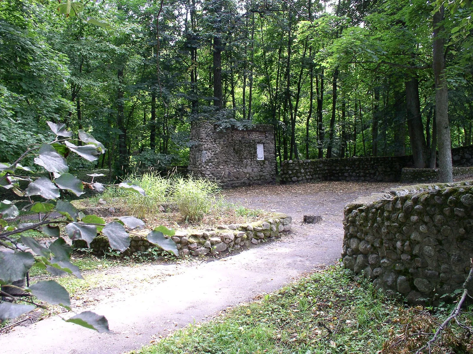
Borovka: The Woodland Approach to the Holocaust Memorial

Hiking · One-day

Combine a short woodland walk with a thoughtful pause at Borovka’s place of remembrance. The direction ends near a specific memorial, allowing a quiet exterior visit and an independently chosen city programme.

2.1 km 107 +9 m Easy
Cycling Lida: The Cathedral, Mickiewicz and City Sculptures
✓ TrailTrack

Cycling Lida: The Cathedral, Mickiewicz and City Sculptures

Cycling Lida: The Cathedral · Bicycle · One-day

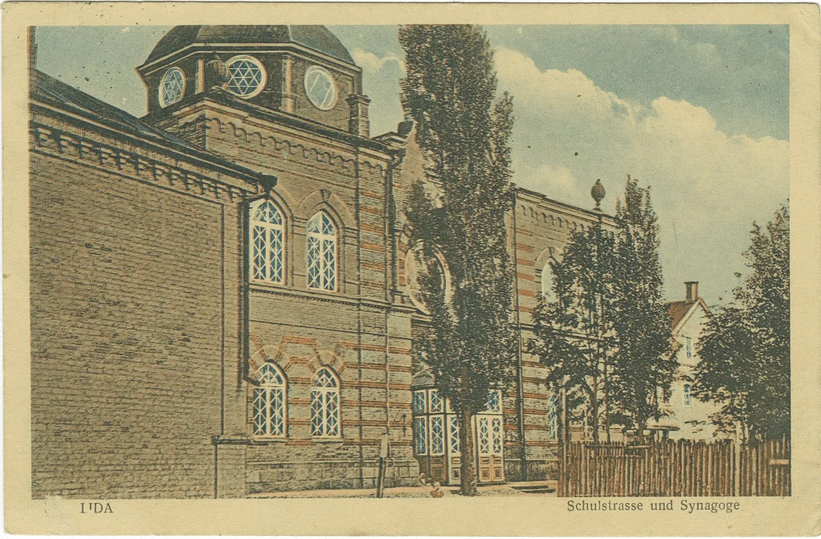
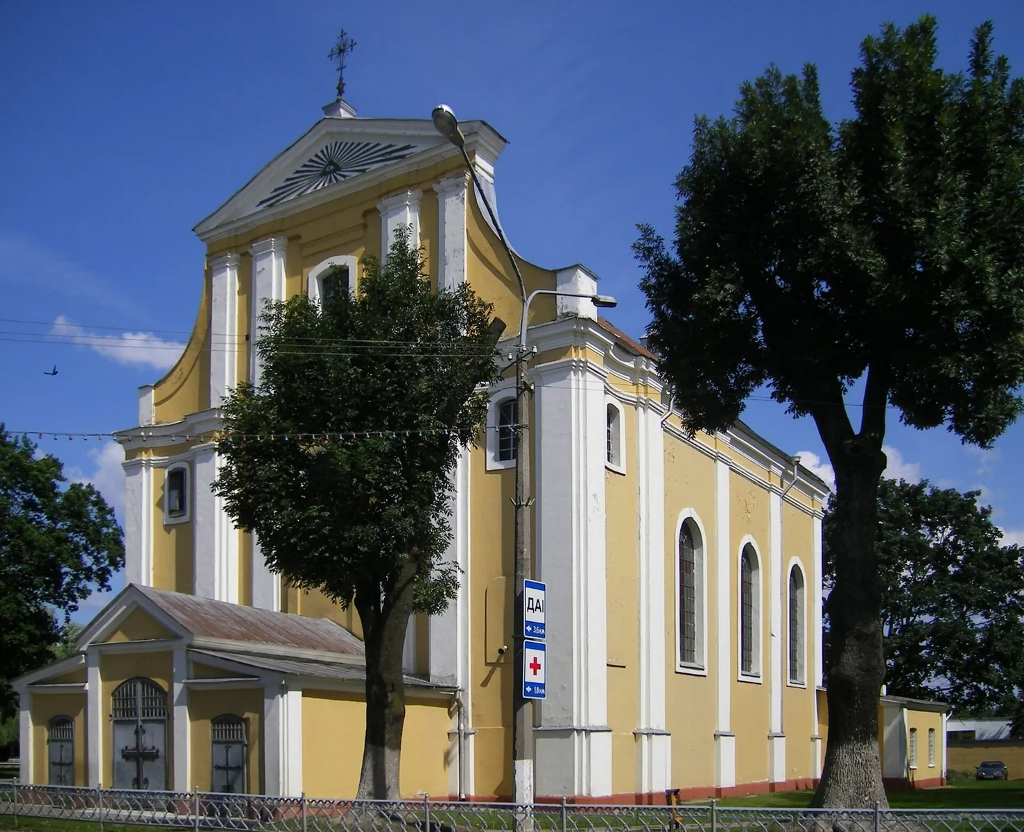
See several contrasting city monuments without a long rural journey. The cathedral, Mickiewicz and smaller sculptures give the ride a clear cultural focus, with closely spaced pauses allowing an individual visiting pace.

4.0 km 107 +10 m Easy
To the Lakes of Osveya: via Polotsk
✓ TrailTrack

To the Lakes of Osveya: via Polotsk

по тротуару · Bicycle · One-day

Expect shore or waterside sections are recorded on the route on this 2.93 km point-to-point cycling route. Gentle terrain: 10 m of total ascent over 2.93 km. Surface: paving stones plus asphalt. Estimated moving time is about 0.4 hours; add time for pauses and navigation.

2.9 km 107 +10 m Easy
Plyanta and the giant juniper: a Lake Ring walk
✓ TrailTrack

Plyanta and the giant juniper: a Lake Ring walk

Hiking · One-day

Choose this walk for the waterside character of the forest. Plyanta-1, Plyanta-2 and Plyanta-3 offer separate places to pause, while the old juniper gives the woodland section a clear destination. It works well as an unhurried part of a day in Kamenyuki.

4.4 km 107 +42 m Easy
Radetsk Woodland: the Old Road Tavern Stop on the Dikoe Trail
✓ TrailTrack

Radetsk Woodland: the Old Road Tavern Stop on the Dikoe Trail

Hiking · One-day

Find the named Old Road Tavern interpretation stop and explore the woodland between Yuzefin and Radetsk through the history of old connections. This is a quiet introduction to the Dikoe area, without promising a complete mire crossing.

3.6 km 107 +12 m Easy
Back Page 35 of 79 Next