TrailTrack routes

Маршруты с подготовленным описанием, сложностью, покрытием и планированием визита.

Found 1895 routes
Choose a route from the list or view routes on the map.
Katuar to Iksha: the western loop and northern Klubish crossing
✓ TrailTrack

Katuar to Iksha: the western loop and northern Klubish crossing

Moscow region · Run · One-day

Choose Katuar–Iksha’s western loop and encounter the Klubish at the specific northern crossing. This version explores another river side with independent arrangements between the two Savyolovsky endings.

21.8 km 103 +76 m Moderate
Grand Route across Belarus: via Mogilev
✓ TrailTrack

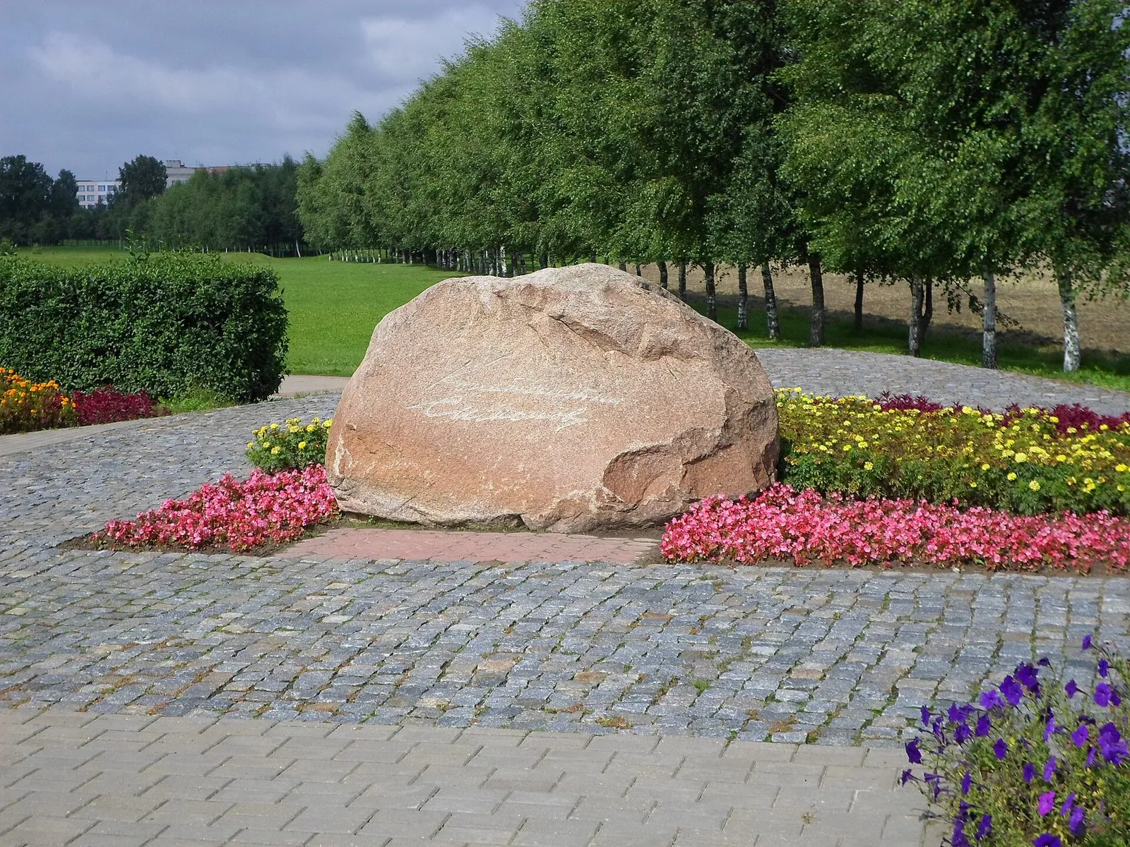
Grand Route across Belarus: via Mogilev

Памятник батальону ГАИ · Bicycle · One-day

Mapped stops at Panorama goroda. Ploshchad Slavy, Park. Eda. Tualety, Museum Slavy Mogilevshchiny add clear points of interest along the way. Near the water: shore or waterside sections are recorded on the route. Gentle terrain: 109 m of total ascent over 38.7 km. Surface: asphalt.

38.7 km 102 +109 m Hard
New Year Fir Trees: Western route
✓ TrailTrack

New Year Fir Trees: Western route

КП0. Ялінка каля ДК БГСХА · Bicycle · Multi-day

Shore or waterside sections are recorded on the route along this 206.57 km point-to-point cycling route. Gentle terrain: 227 m of total ascent over 206.57 km. Surface: asphalt. Allow at least 3 days and verify overnight and exit options independently.

206.6 km 102 +227 m Hard
Southern cycling journey from Novopolotsk through Ushachi, Bychki and Prozoroki
✓ TrailTrack

Southern cycling journey from Novopolotsk through Ushachi, Bychki and Prozoroki

КП 0 Старт АЗС · Bicycle · Multi-day

Connect partisan-region memory with literary and theatrical history: the Ushachi museum, Vasil Bykau’s Bychki and Ignat Buinitsky’s Prozoroki. Country roads allow time to consider these places beyond a hurried large excursion.

201.0 km 102 +2100 m Hard
Oak Trail: Woodland Walk beside the Zamshanka
✓ TrailTrack

Oak Trail: Woodland Walk beside the Zamshanka

Hiking · One-day

Explore the Oak Trail interpretation stops and pause beside Zamshanka Stream. A short separate visit to the King Oak can be added after arranging access with the forestry service.

4.0 km 102 +13 m Easy
Kamenyuki–Pashuki: Toward the Eastern Forest Road
✓ TrailTrack

Kamenyuki–Pashuki: Toward the Eastern Forest Road

КПП · Bicycle · One-day

Saint Andrew church gives the ride a definite historical stop. The through variant reveals the inhabited forest edges and needs an independent end-of-day plan on the eastern side.

24.6 km 102 +60 m Moderate
Trail at Ulan-Gol
✓ TrailTrack

Trail at Ulan-Gol

Hiking · One-day

The recorded line is a 10.43 km point-to-point walking route, with mapped viewpoints occur along the way. Gentle terrain: 22 m of total ascent over 10.43 km. Estimated moving time is about 3.1 hours; add time for pauses and navigation.

10.4 km 102 +22 m Moderate
Trail Mokryy Log
✓ TrailTrack

Trail Mokryy Log

Hiking · One-day

This is a 0.86 km point-to-point walking route with a complete recorded line to follow from start to finish. Strong mountain relief: 141 m of total ascent over 0.86 km. Estimated moving time is about 0.7 hours; add time for pauses and navigation.

0.9 km 102 +141 m Easy
Skvoznaya Trail
✓ TrailTrack

Skvoznaya Trail

Hiking · One-day

The interest of this 5.52 km point-to-point walking route lies in travelling the distance itself: its gradients, surface and rhythm. Strong mountain relief: 324 m of total ascent over 5.52 km. Surface: natural ground plus concrete. Estimated moving time is about 2.2 hours; add time for pauses and navigation.

5.5 km 102 +324 m Easy
Expedition through Tofalaria (2013)
✓ TrailTrack

Expedition through Tofalaria (2013)

Boat · Multi-day

This 396.3 km point-to-point water route passes through terrain where mapped viewpoints occur along the way. Noticeable climbing: 8458 m of total ascent over 396.3 km. Allow at least 15 days and verify overnight and exit options independently.

396.3 km 102 +8458 m Hard
Kizir rafting sections with an unfinished Cordovo exit
✓ TrailTrack

Kizir rafting sections with an unfinished Cordovo exit

Boat · Multi-day

Travel real Kizir water sections and see the river valley from its channel. Sustained changes of bends, wooded banks and open water create a separate rafting journey after checking obstacles and the final exit.

190.1 km 102 +273 m Hard
Morskoy Ridge Expedition
✓ TrailTrack

Morskoy Ridge Expedition

Hiking · Multi-day

Shore or waterside sections are recorded on the route along this 152.87 km point-to-point walking route. Gentle terrain: 850 m of total ascent over 152.87 km. Allow at least 7 days and verify overnight and exit options independently.

152.9 km 102 +850 m Hard
«Seryogina Ski». Primerno 35-km Circuit Ogonki-Ogonki
✓ TrailTrack

«Seryogina Ski». Primerno 35-km Circuit Ogonki-Ogonki

Skiing · One-day

The interest of this 35.57 km point-to-point cross-country skiing route lies in travelling the distance itself: its gradients, surface and rhythm. Rolling terrain: 525 m of total ascent over 35.57 km. Surface: mud and grass. Estimated moving time is about 6.9 hours; add time for pauses and navigation.

35.6 km 102 +525 m Hard
Sanatornaya to Dachnoye: A Long Ski Day via the Setun and Vyazyomka Footbridges
✓ TrailTrack

Sanatornaya to Dachnoye: A Long Ski Day via the Setun and Vyazyomka Footbridges

Moscow region · Skiing · One-day

Connect several woodland valleys in a ski day from the Polushkino side to Dachnoye. The early springs, Setun, Nakhavnya, Khaliava and two Malaya Vyazyomka footbridges provide recognisable places along the way. The long option suits skiers confident on country snow and ready to organise an independent day.

55.7 km 102 +881 m Hard
Mezmay to Chinarsky and Universitetsky: a full woodland outing with returns
✓ TrailTrack

Mezmay to Chinarsky and Universitetsky: a full woodland outing with returns

Hiking · One-day

Chinarsky and Universitetsky let you compare two woodland cascades in one outing. Rock ledges, large boulders and falling water provide clear destinations for a full day around Mezmay.

17.1 km 101 +690 m Hard
Land of the Ancestors
✓ TrailTrack

Land of the Ancestors

КП0 - СТАРТ · Hiking · Multi-day

The route includes sites with cultural context along this 312.49 km point-to-point walking route. Gentle terrain: 219 m of total ascent over 312.49 km. Surface: asphalt. Allow at least 14 days and verify overnight and exit options independently.

312.5 km 101 +219 m Hard
Grand Circuit around Bykhov
✓ TrailTrack

Grand Circuit around Bykhov

Bicycle · One-day

The recorded line is a 92.97 km circular cycling route, with shore or waterside sections are recorded on the route. Gentle terrain: 114 m of total ascent over 92.97 km. Surface: asphalt plus compacted ground. Estimated moving time is about 8.6 hours; add time for pauses and navigation.

93.0 km 101 +114 m Hard
Marshland Neman Route
✓ TrailTrack

Marshland Neman Route

Hiking · One-day

Expect shore or waterside sections are recorded on the route on this 2.62 km point-to-point walking route. Gentle terrain: 10 m of total ascent over 2.62 km. Surface: improved surface. Estimated moving time is about 0.9 hours; add time for pauses and navigation.

2.6 km 101 +10 m Easy
Logoisk Zhuk Trail: southern route
✓ TrailTrack

Logoisk Zhuk Trail: southern route

Hiking · One-day

Expect woodland is one of the route's main features on this 10.27 km circular walking route. Noticeable climbing: 266 m of total ascent over 10.27 km. Estimated moving time is about 3.5 hours; add time for pauses and navigation.

10.3 km 101 +266 m Moderate
Spring Route to Dokshitsy
✓ TrailTrack

Spring Route to Dokshitsy

Bicycle · One-day

Expect woodland is one of the route's main features on this 2.25 km point-to-point cycling route. Gentle terrain: 13 m of total ascent over 2.25 km. Surface: asphalt. Estimated moving time is about 0.4 hours; add time for pauses and navigation.

2.3 km 101 +13 m Easy
Malyavki: Trail through the Pines
✓ TrailTrack

Malyavki: Trail through the Pines

Hiking · One-day

Expect woodland is one of the route's main features on this 3.13 km point-to-point walking route. Gentle terrain: 8 m of total ascent over 3.13 km. Estimated moving time is about 1.0 hours; add time for pauses and navigation.

3.1 km 101 +8 m Easy
Kupalinka: a walk between the Neman rest areas
✓ TrailTrack

Kupalinka: a walk between the Neman rest areas

Hiking · One-day

This version offers a Neman-side outing with clearly named stopping places. Kupalinka and Zhemchuzhina give it a natural rhythm of walking and riverside pauses. It fits into a day in Grodno or a stay in the sanatorium district.

4.3 km 101 +35 m Easy
Ara-Oshey (may 2011 g.: Walking Route
✓ TrailTrack

Ara-Oshey (may 2011 g.: Walking Route

Hiking · Multi-day

The recorded line is a 87.73 km point-to-point walking route, with mapped viewpoints occur along the way. Noticeable climbing: 2977 m of total ascent over 87.73 km. Allow at least 5 days and verify overnight and exit options independently.

87.7 km 101 +2977 m Hard
Trail from Zhalgi to Perevalu Novogodnemu
✓ TrailTrack

Trail from Zhalgi to Perevalu Novogodnemu

Hiking · One-day

Expect mapped viewpoints occur along the way on this 3.95 km point-to-point walking route. Noticeable climbing: 151 m of total ascent over 3.95 km. Estimated moving time is about 1.4 hours; add time for pauses and navigation.

4.0 km 101 +151 m Easy
Back Page 39 of 79 Next