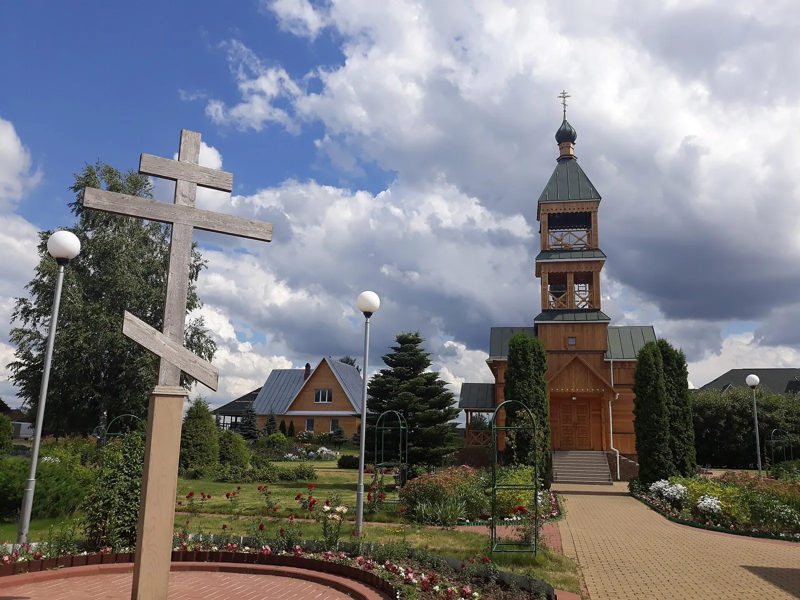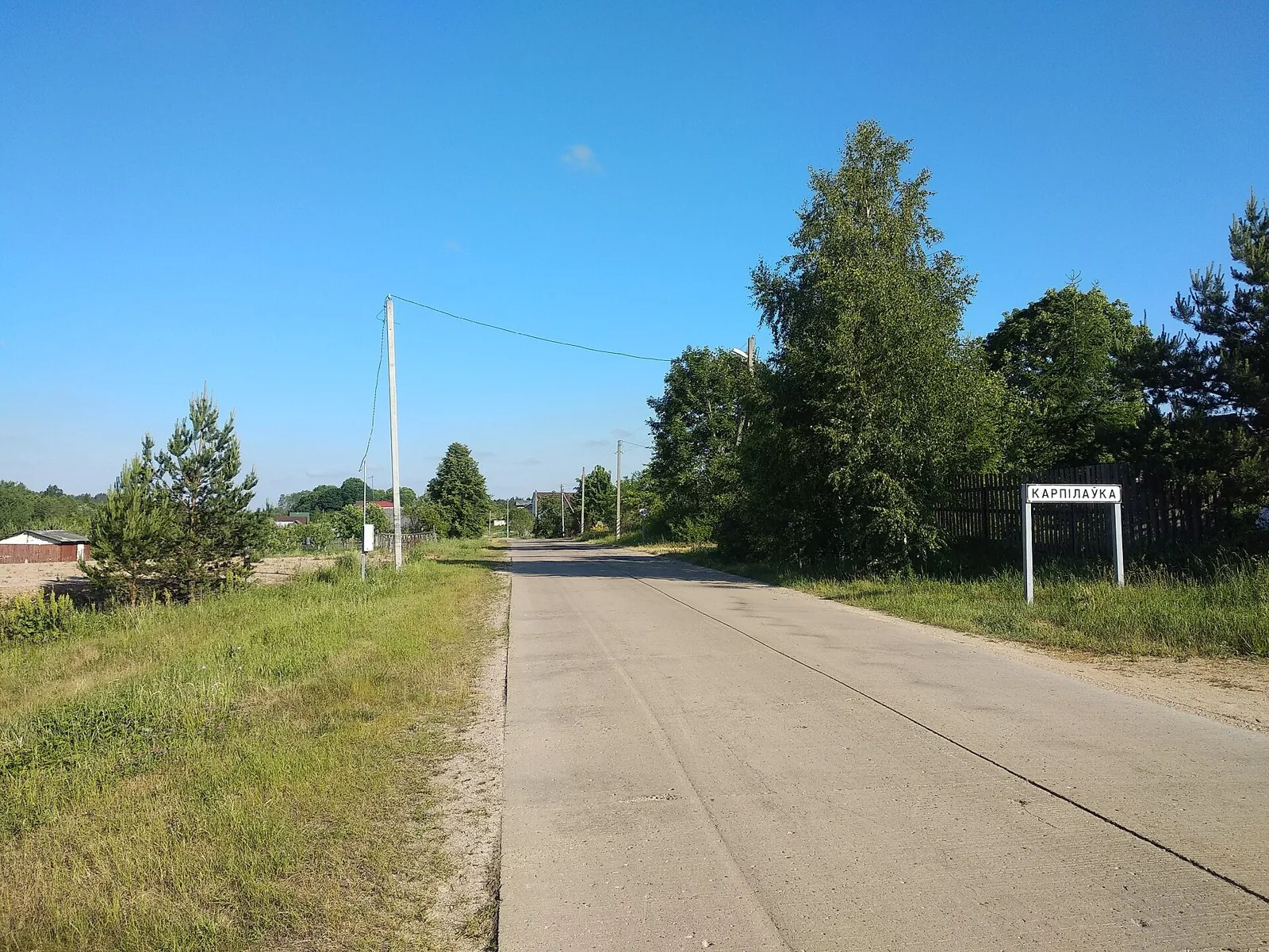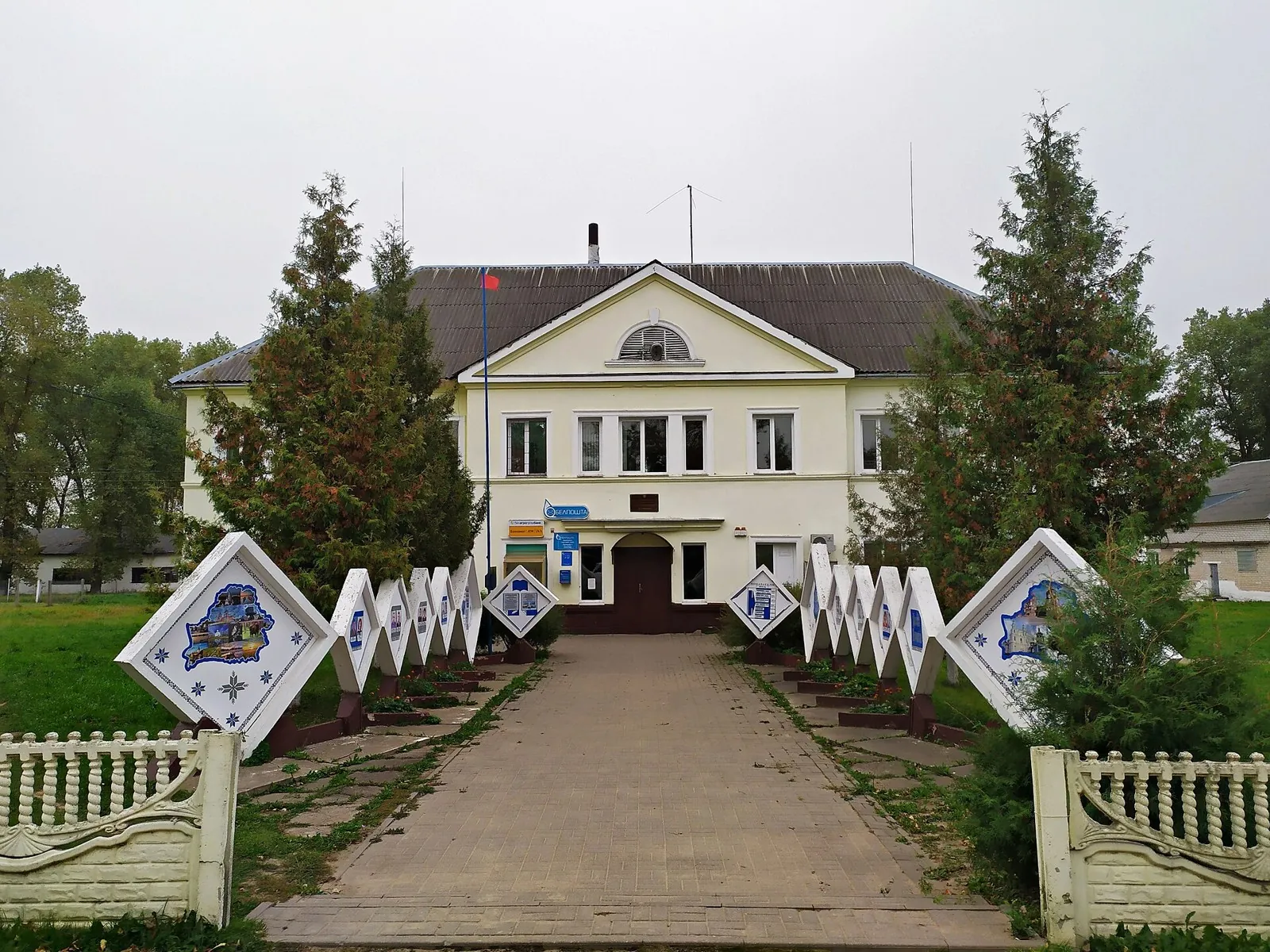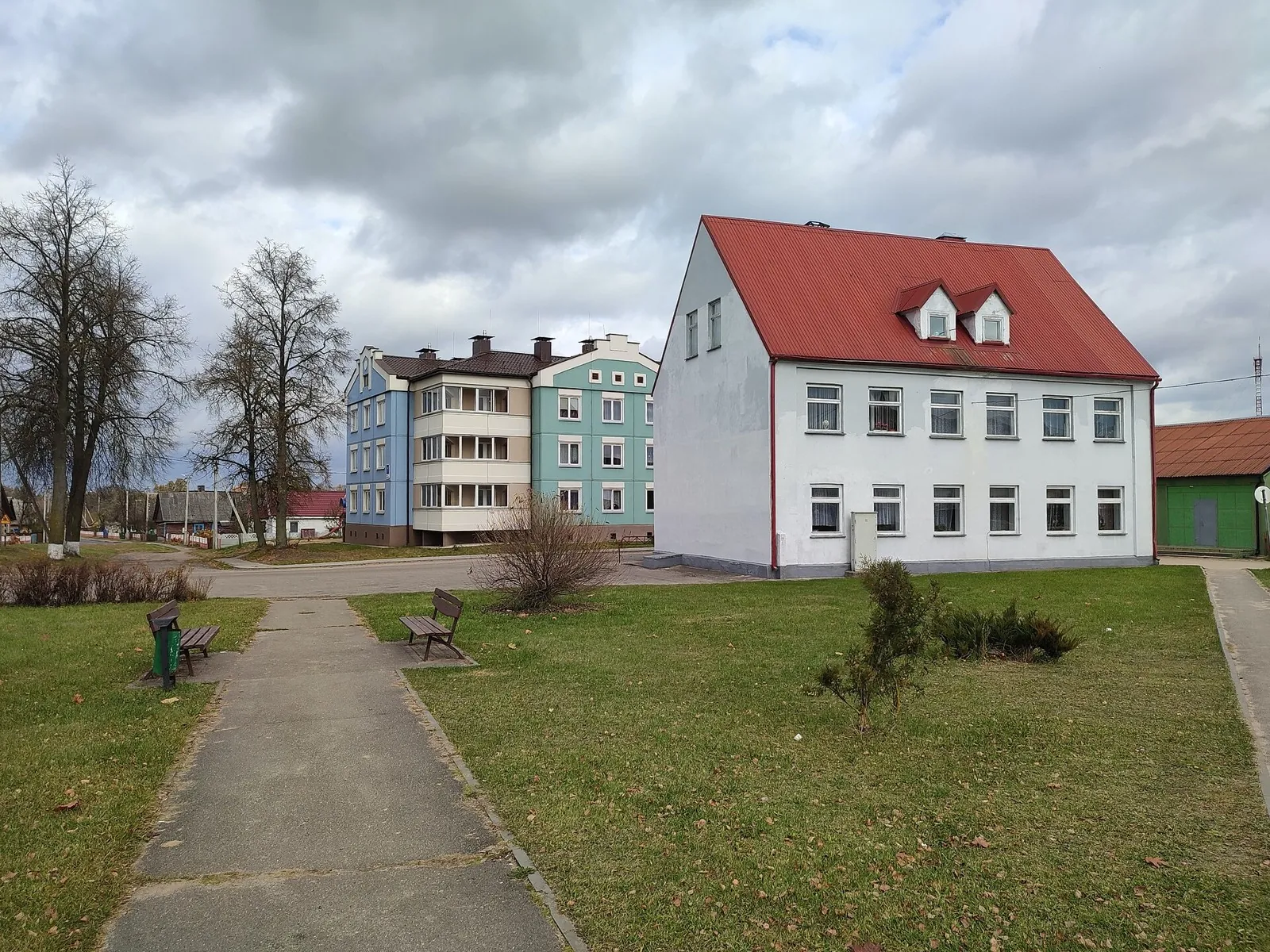
Brest–Kamenets–Grodno: The First Northern Bicycle Journey
The passage connects Kamenets Tower with a substantial road journey between Brest and Grodno. Spend several days exploring western Belarus and finish each stage without a sporting rush.
Маршруты с подготовленным описанием, сложностью, покрытием и планированием визита.
The passage connects Kamenets Tower with a substantial road journey between Brest and Grodno. Spend several days exploring western Belarus and finish each stage without a sporting rush.
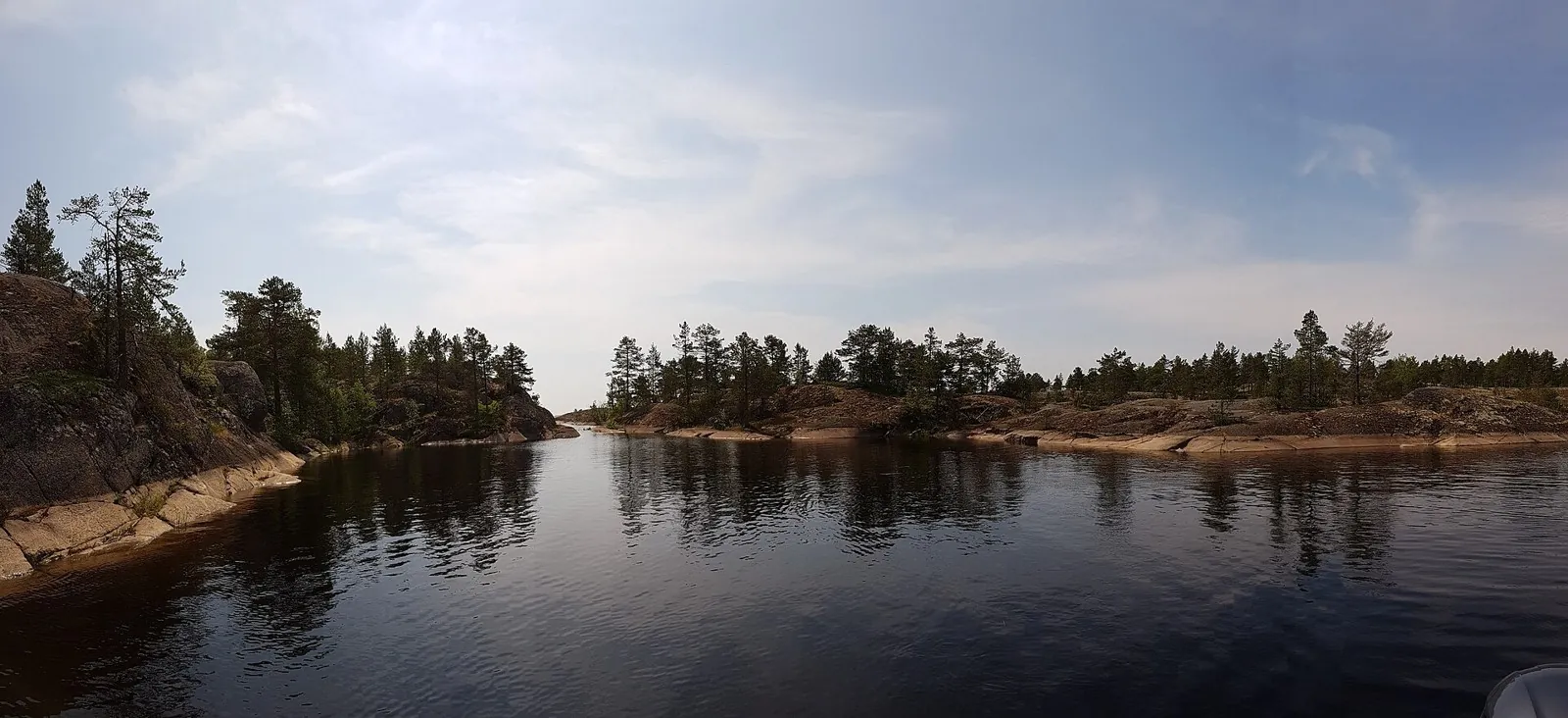
Link two actual viewpoints on Riekkalansaari and Honkasalo in a southern sporting outing. Focus on the island connection, woodland continuation and water passage between them.
The pond and its glass-like outlet encourage attention to small Lower Park details easily missed on a hurried climb to the upper viewpoints. The short circuit leaves time to explore the spa town at an unforced pace.
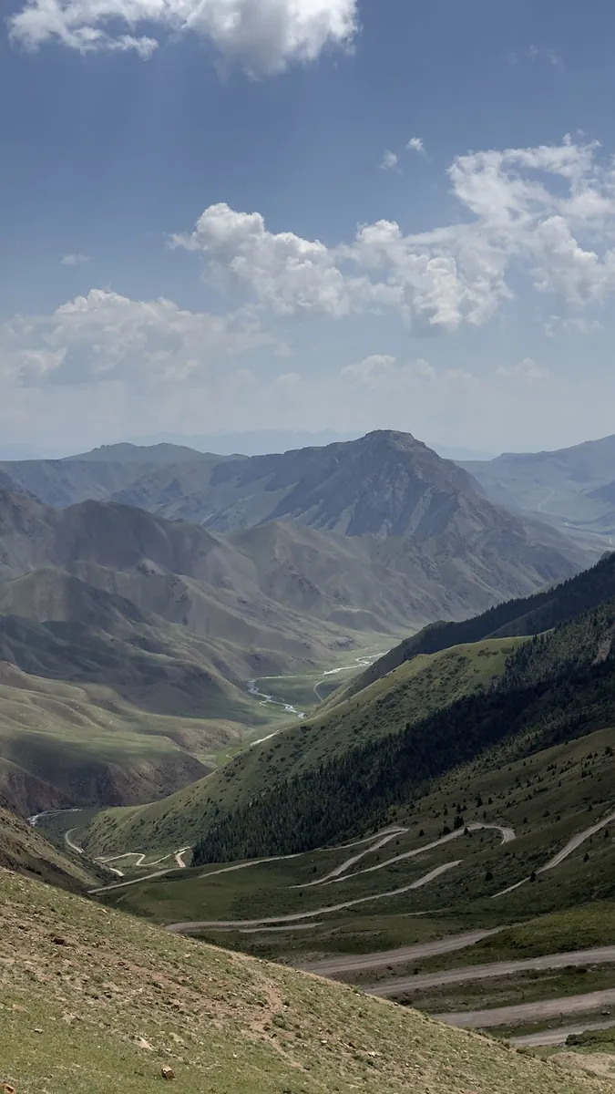
Cross Terskey Torpok and reach Son-Kul’s southern shore. The journey connects two different waterside settings, a river valley and the lake basin, with a recognisable mountain pass between them.
Meet Ter-Suu, Kichi Kara-Kudzhur and Kara-Unkur in one independent crossing. Their valleys give this mountain journey a distinct geography and useful places to pause.
Begin with a specific place that recalls Jyrgalan’s mining past. Choose the continuation towards the northern mountains after a local check, to explore a different side of the area with an identified walking plan.
See Big Almaty Lake in its wider mountain setting, cross Zhosalykezen by the Cosmic-Ray Station and connect neighbouring gorges through Almatinsky Alagir Pass.
The recorded line is a 208.98 km point-to-point walking route, with woodland is one of the route's main features. Gentle terrain: 75 m of total ascent over 208.98 km. Surface: asphalt. Allow at least 9 days and verify overnight and exit options independently.
The recorded line is a 600.02 km point-to-point cycling route, with shore or waterside sections are recorded on the route. Gentle terrain: 291 m of total ascent over 600.02 km. Surface: asphalt. Allow at least 8 days and verify overnight and exit options independently.
This is a 204.16 km point-to-point cycling route with a complete recorded line to follow from start to finish. Gentle terrain: 428 m of total ascent over 204.16 km. Surface: asphalt plus concrete. Allow at least 3 days and verify overnight and exit options independently.
Shore or waterside sections are recorded on the route along this 599.54 km point-to-point cycling route. Gentle terrain: 603 m of total ascent over 599.54 km. Surface: asphalt. Allow at least 8 days and verify overnight and exit options independently.
This 204.98 km circular cycling route passes through terrain where woodland is one of the route's main features. Gentle terrain: 369 m of total ascent over 204.98 km. Surface: asphalt. Allow at least 3 days and verify overnight and exit options independently.
The recorded line is a 607.56 km point-to-point cycling route, with woodland is one of the route's main features. Gentle terrain: 464 m of total ascent over 607.56 km. Surface: asphalt. Allow at least 8 days and verify overnight and exit options independently.
The interest of this 16.28 km point-to-point cycling route lies in travelling the distance itself: its gradients, surface and rhythm. Gentle terrain: 46 m of total ascent over 16.28 km. Surface: asphalt. Estimated moving time is about 1.5 hours; add time for pauses and navigation.
This 205.44 km point-to-point cycling route passes through terrain where woodland is one of the route's main features. Gentle terrain: 452 m of total ascent over 205.44 km. Surface: asphalt plus concrete. Allow at least 3 days and verify overnight and exit options independently.
The interest of this 89.55 km circular cycling route lies in travelling the distance itself: its gradients, surface and rhythm. Gentle terrain: 411 m of total ascent over 89.55 km. Estimated moving time is about 8.6 hours; add time for pauses and navigation.
This 303.18 km circular cycling route passes through terrain where the route includes sites with cultural context. Gentle terrain: 297 m of total ascent over 303.18 km. Surface: asphalt. Allow at least 4 days and verify overnight and exit options independently.
The route includes sites with cultural context along this 93 km point-to-point cycling route. Gentle terrain: 149 m of total ascent over 93 km. Surface: asphalt. Estimated moving time is about 8.6 hours; add time for pauses and navigation.
The recorded line is a 59.94 km point-to-point cycling route, with the route includes sites with cultural context. Gentle terrain: 208 m of total ascent over 59.94 km. Estimated moving time is about 5.7 hours; add time for pauses and navigation.
This 203.71 km point-to-point walking route is shaped by its terrain, surface and pace rather than a single landmark. Gentle terrain: 91 m of total ascent over 203.71 km. Allow at least 9 days and verify overnight and exit options independently.
This 602.58 km point-to-point cycling route passes through terrain where shore or waterside sections are recorded on the route. Gentle terrain: 174 m of total ascent over 602.58 km. Surface: asphalt. Allow at least 8 days and verify overnight and exit options independently.
Expect shore or waterside sections are recorded on the route on this 203.79 km point-to-point cycling route. Gentle terrain: 132 m of total ascent over 203.79 km. Surface: asphalt. Allow at least 3 days and verify overnight and exit options independently.
Link Zhirovichi Assumption Monastery and its cathedral with Ruzhany’s church streets, the Ruzhanka and the Yaselda. Returning to Zhirovichi lets two unhurried encounters with the monastery frame the cycling journey.
Treat this 200.5 km circular cycling route as a complete outing, paying attention to the terrain and changing surface underfoot. Gentle terrain: 130 m of total ascent over 200.5 km. Allow at least 3 days and verify overnight and exit options independently.
Pick where to start
Share a trip