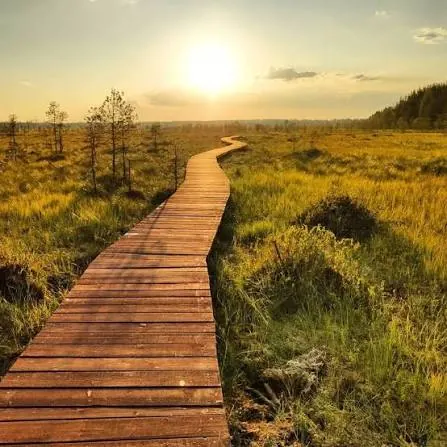



Sestroretsk Marsh from Beloostrov: A Boardwalk Circuit and Three Viewing Places
- Distance
- 7.6 km
- Time
- 2 h 21 min
- Elevation gain
- 76 m
- Difficulty
- Moderate




 Open on map
 Download route
Route description

Route status
Проверяем свежесть данных по треку и учитываем сообщения сообщества

Запретов на посещение и пожаров рядом нет
Проверяем спутниковые данные о пожарах и предупреждения по региону.
Подробнее о состоянии маршрута No recent trail condition reports


The description, logistics and points of interest were prepared using maps and open sources. Trail conditions may change.

Before travelling, check trail access, restrictions and the weather forecast.

Conditions may have changed. Share a report after completing the route.

Recent completions

 Passable
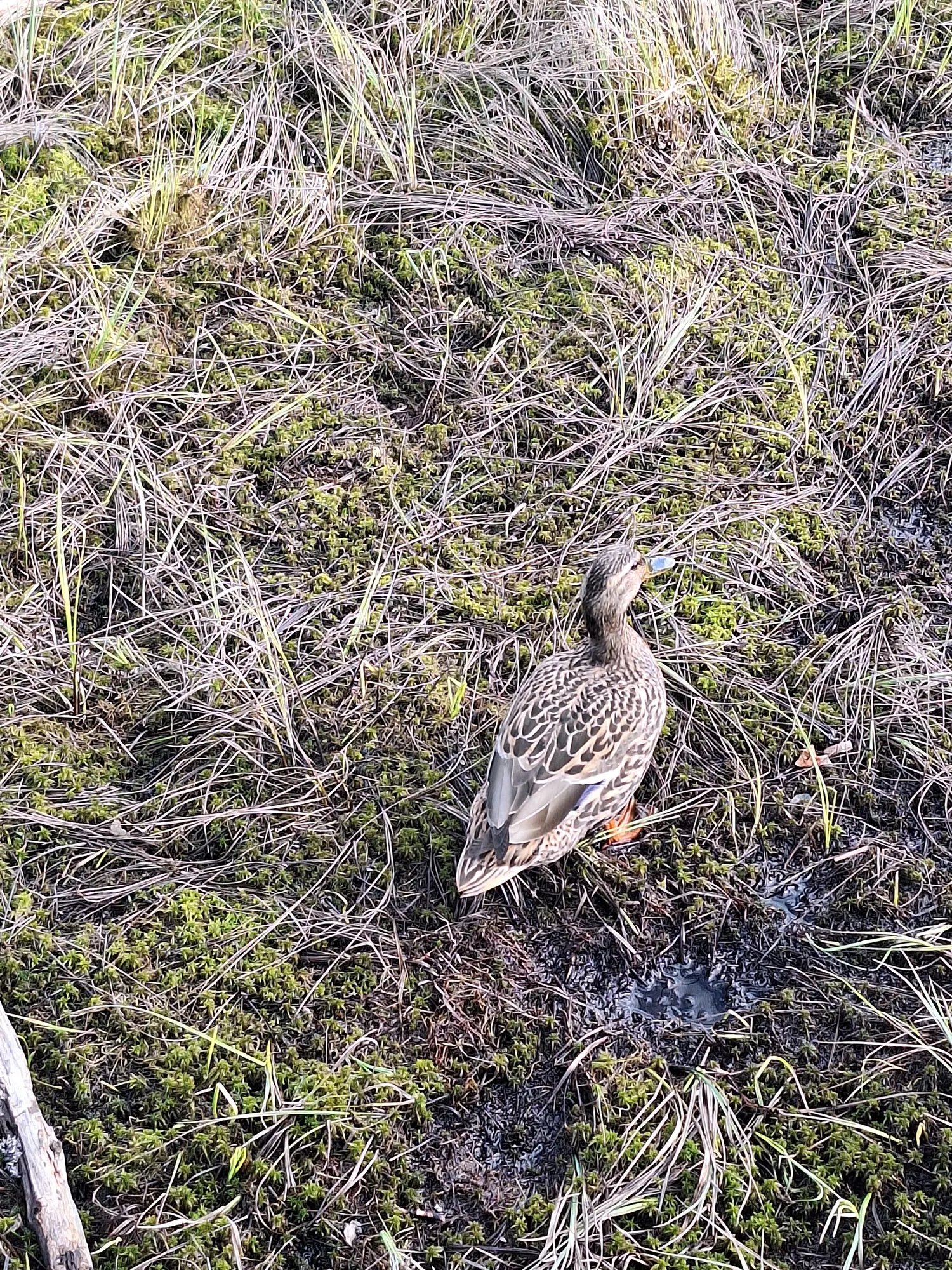
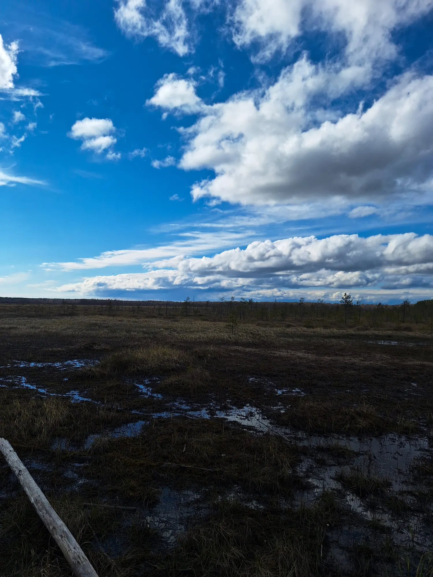
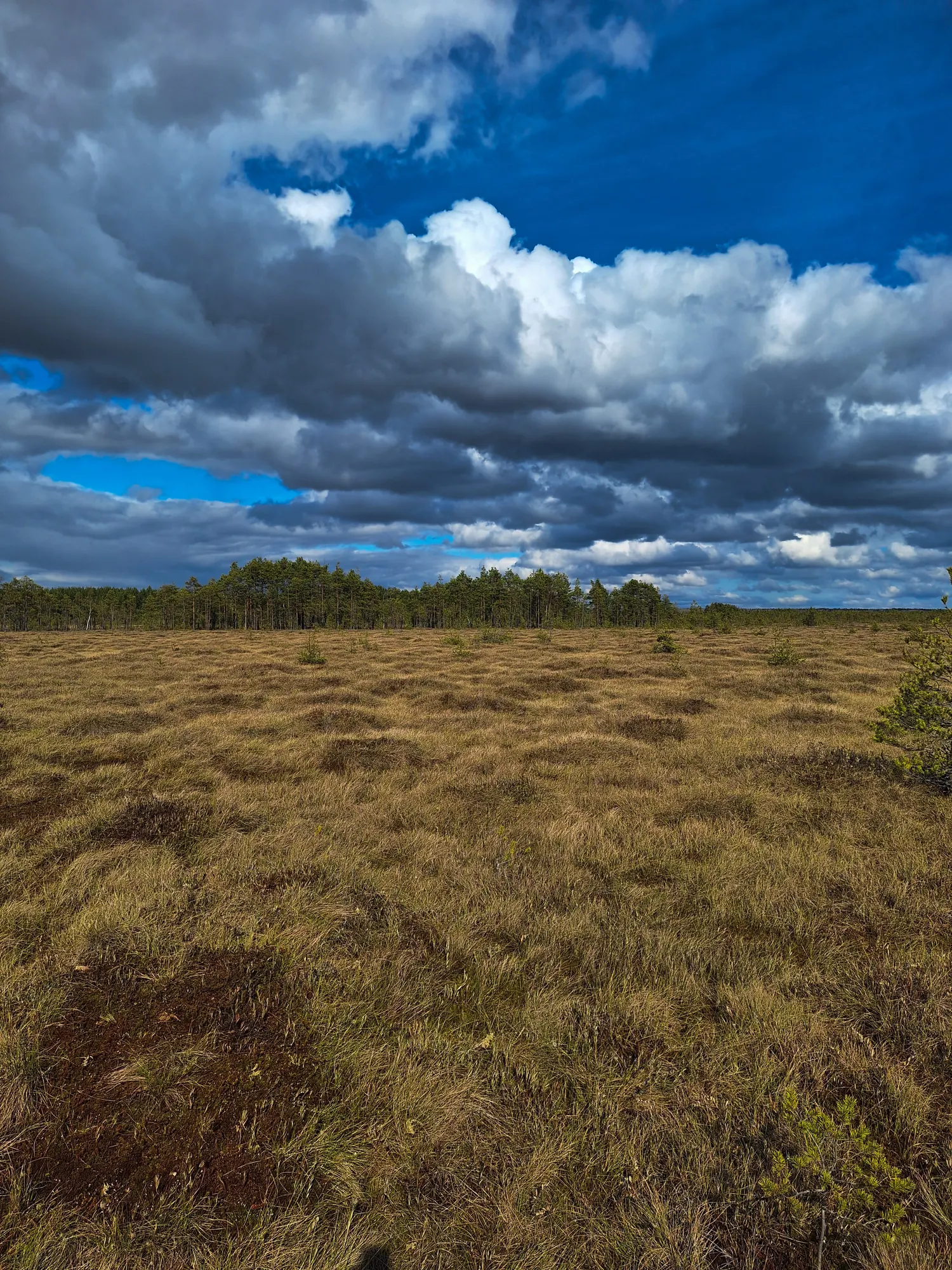
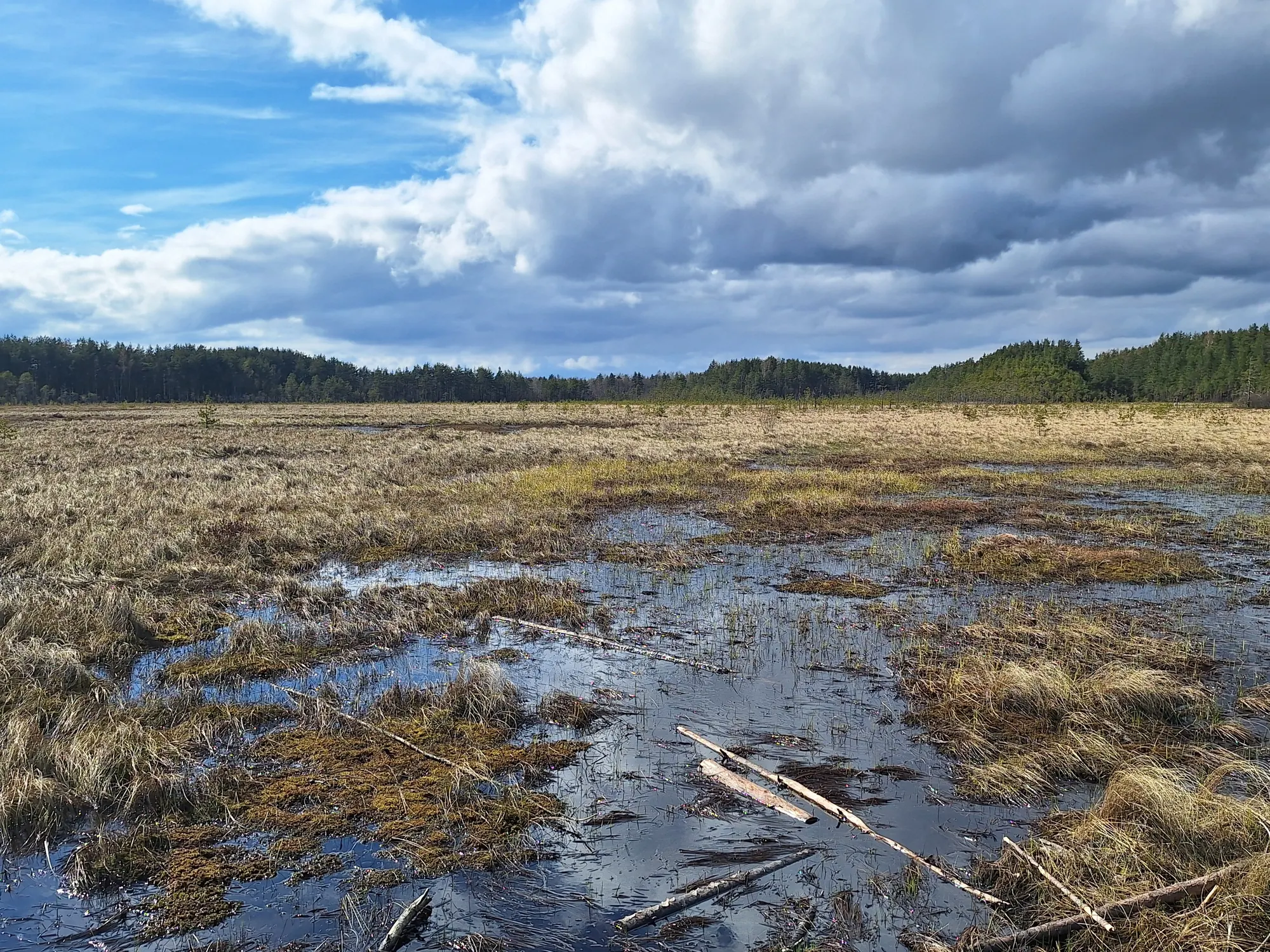
Все хорошо, отличная экотропа. Конечно сам путь до нее так себе, если ты не на машине. Приходится идти по дороге. Но виды красивые, есть места где посидеть и отдохнуть. Ну и людей в самом деле достаточно много.
 4 фото
Passable
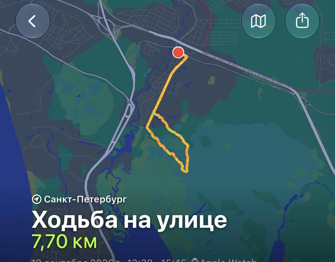
Отличный маршрут! Особенно для прогулок с собакой:)
1 фото
Passable
Сейчас это очень популярная тропа. И ко всему еще и платная
Elevation profile
There is no elevation data in the track for the chart.
 Surface
Dirt 76% · Asphalt 22%
Surface is defined for 98% of the route.
Before you go
Всё важное о маршруте
 Route at a glance
Главное за минуту
- Length
- 7.6 km
- Elevation gain
- 76 m
- Surface
- Dirt 76%




 Route suitability
Кому будет комфортно
 Nearby
Getting there
Варианты и важные моменты
 Show on map

 Without a car
 By car
 Parking
Электрички туда и обратно
Расписание на дату и время, до которого нужно выйти на маршрут
 What to expect
Places

 Difficult sections and safety
На что обратить внимание
Elevation gainСуммарный набор высоты — 76 м.
SurfaceDirt 76%, Asphalt 22%.
 Риски
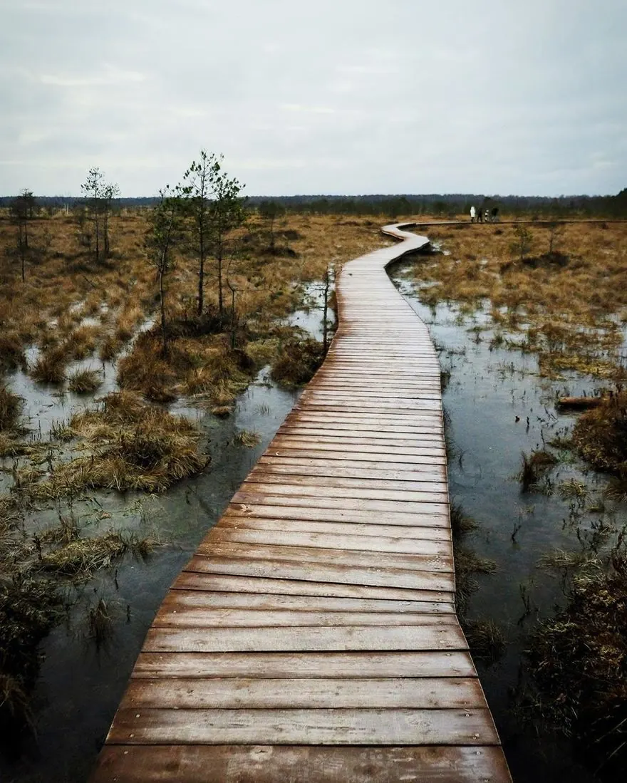
Wet boards, ice, uneven approach ground and bog edges require care. If a boardwalk is damaged or flooded, avoid bypassing through the bog; return by an authorised passage. Keep off moss and do not descend towards water from viewing places. If an adder appears, give it room to leave without touching or cornering it.
Риски
Wet boards, ice, uneven approach ground and bog edges require care. If a boardwalk is damaged or flooded, avoid bypassing through the bog; return by an authorised passage. Keep off moss and do not descend towards water from viewing places. If an adder appears, give it room to leave without touching or cornering it.
 How much time to allow
Оцените свой темп
 Расчётное время в пути
2 h 21 min
Расчётное время в пути
2 h 21 min
 С запасом на остановки
+ 30–60 мин
С запасом на остановки
+ 30–60 мин
 Allow approximately 2.5–3.5 hours for this complete variant, including the Beloostrov approach, circuit and pauses. This is an editorial estimate for the whole outing rather than just the shorter ecological trail. Add the train journey and return waiting separately.
 Best time to go
Сезонность и рекомендации



 What to bring
Базовый список для комфортного похода




FAQ
Questions before the trip
Can I do this route without a car?
The directorate recommends a suburban train from Finlyandsky Station towards Vyborg, alighting at Beloostrov. This variant genuinely starts on the railway side and already includes the pedestrian approach towards Zheleznodorozhnaya Street. Check your train’s stopping pattern and return timetable; separate bus options require present-service verification
Is this route suitable for children?
Possible with caution: review the surface, difficult sections, and extra time for stops in advance.
Can I download GPX and KML?
Yes, GPX and KML are available on the route page. Open the map, download the file, and use it in a navigator before your trip; key route facts: 7.6 km, moderate.
Route photos
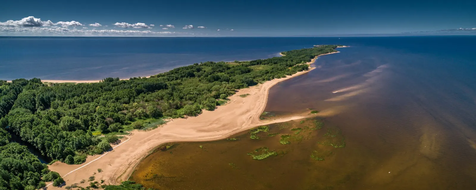
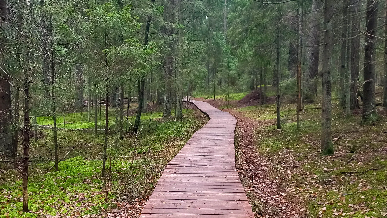
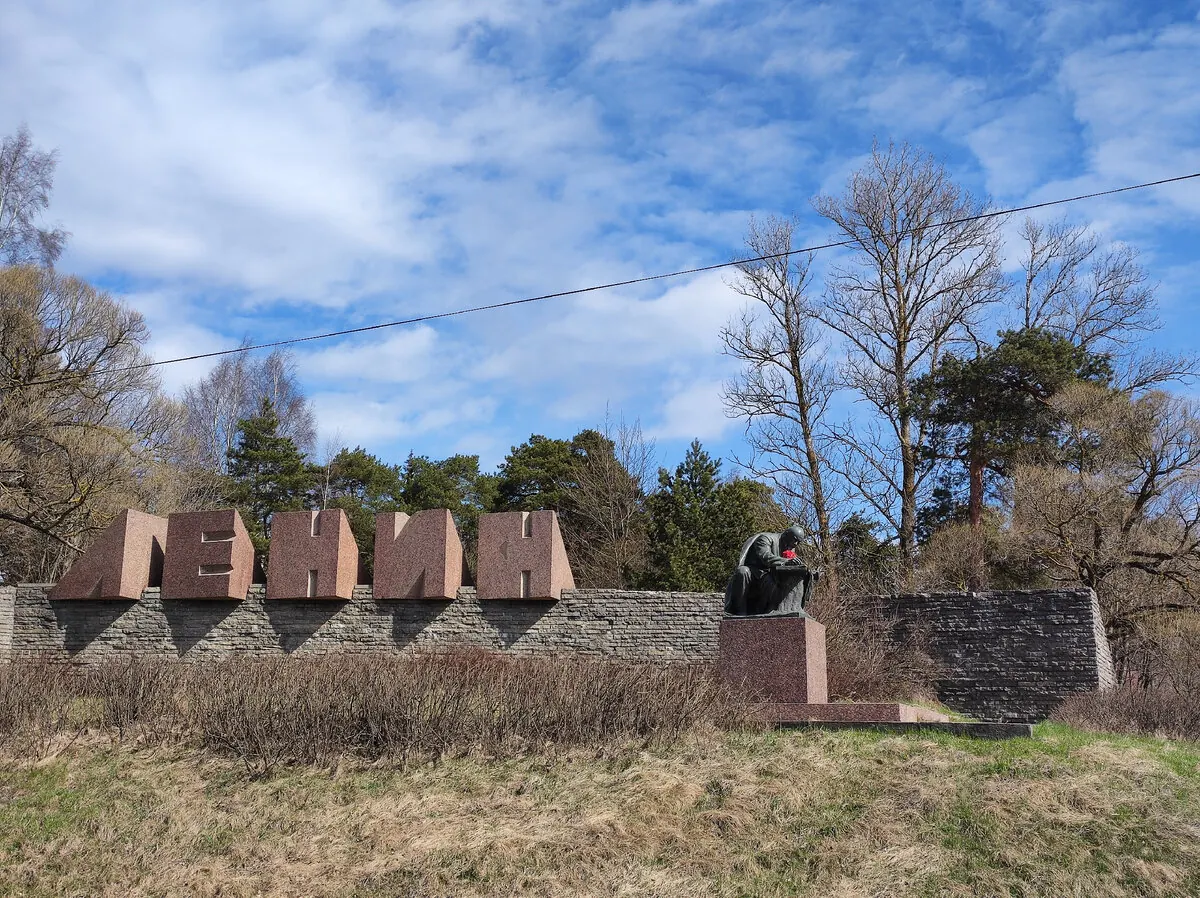
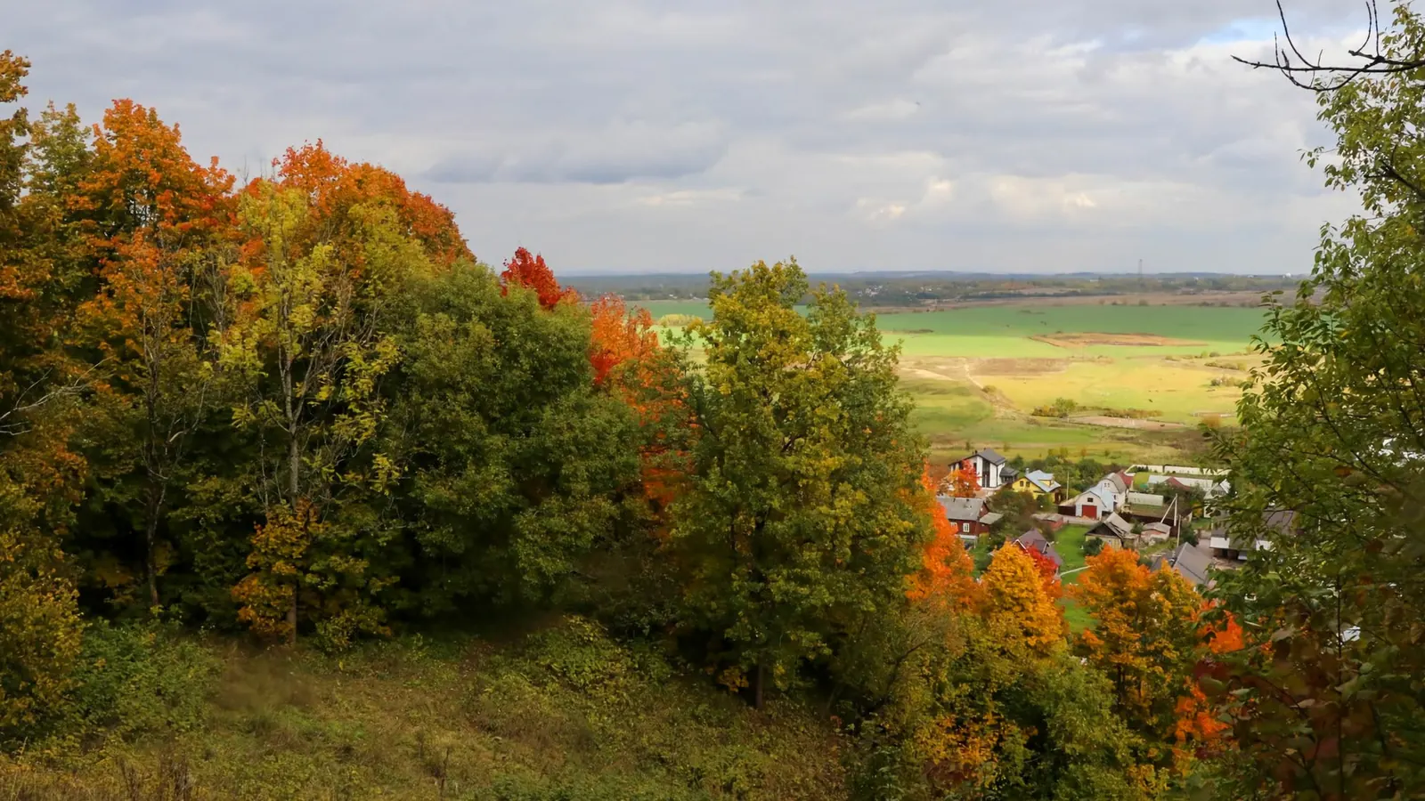
12 photos
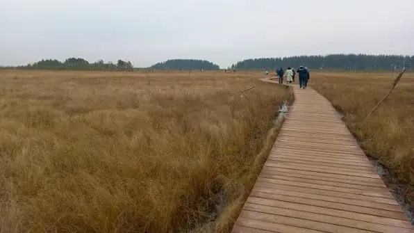
Photo authors and sources
-
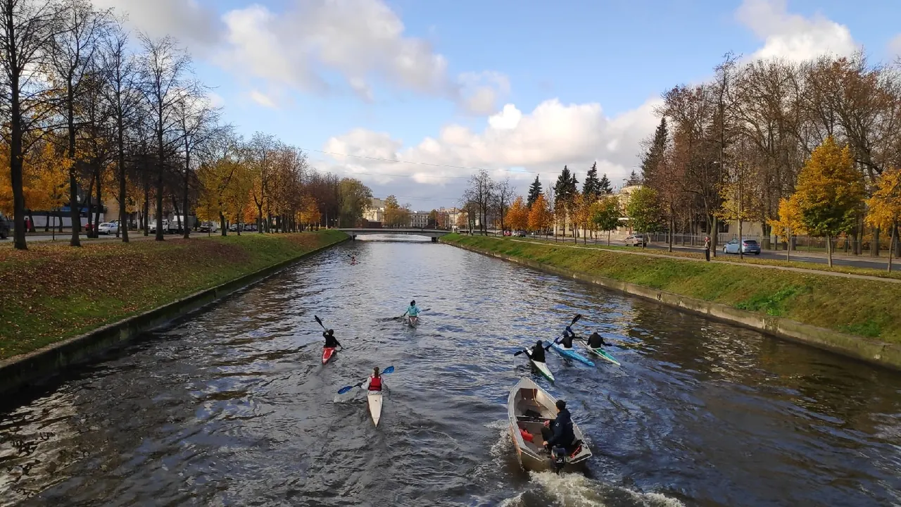
Route photo 1
ГенералКотФото пользователя
-
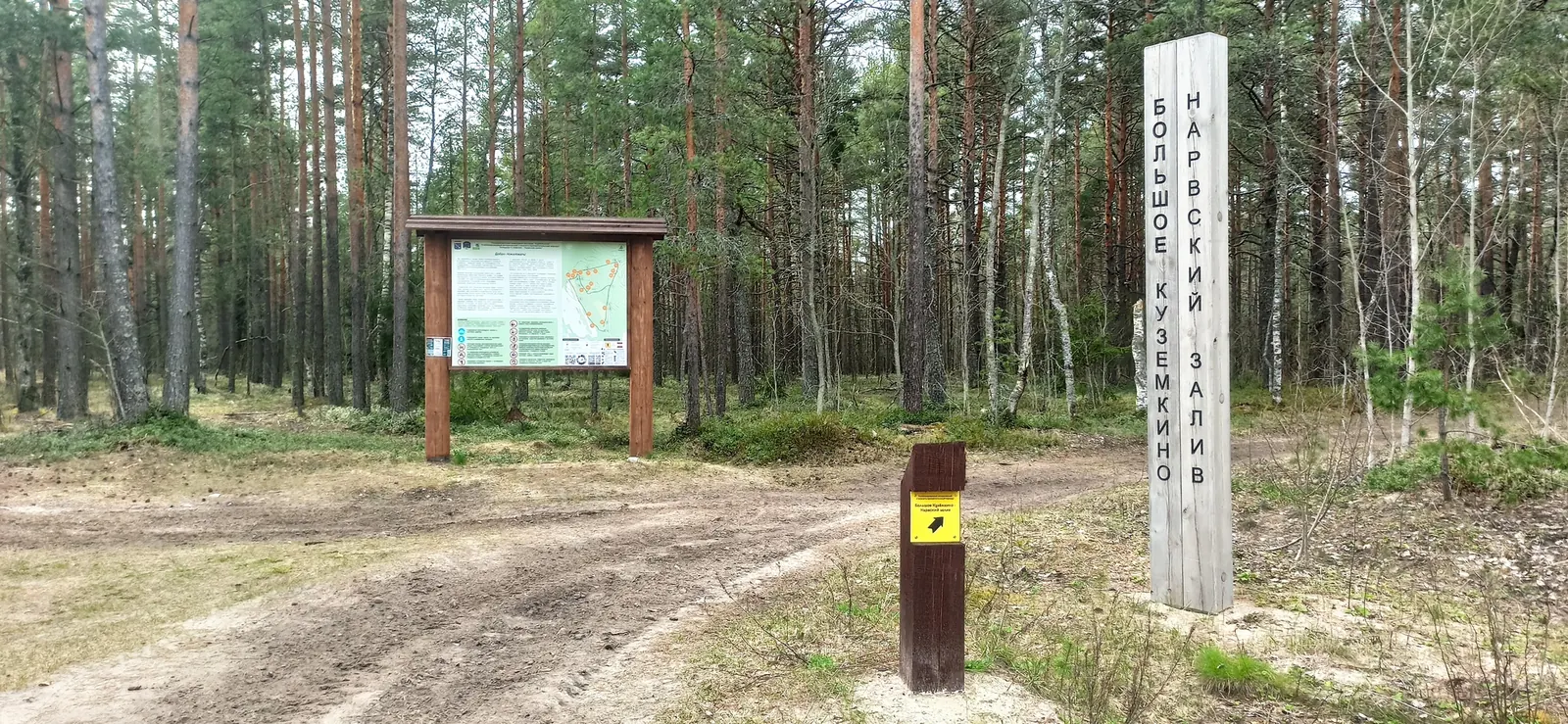
Route photo 2
ГенералКотФото пользователя
-
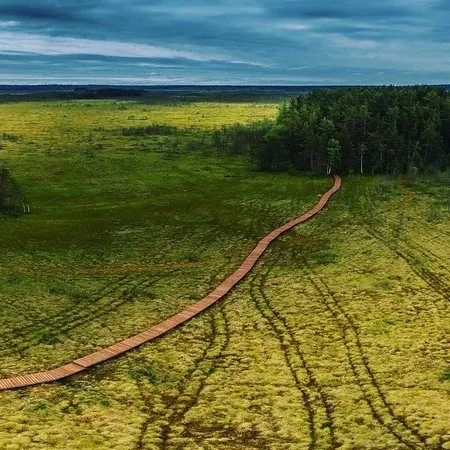
Route photo 3
ГенералКотФото пользователя
-
Route photo 4
ГенералКотФото пользователя
-
Route photo 5
dariaandreevaФото пользователя
Discussion
Comments 0
Log in to read the discussion and leave comments.
Ask about the route or its surface, or share your experience.