Elevation profile
There is no elevation data in the track for the chart.
Dirt 70% · Improved surface 25%
Surface is defined for 95% of the route.
No access bans or fires nearby
We check satellite fire data and regional warnings.
This route was added from a track. Individual sections have not been checked in the field.
Before travelling, check trail access, restrictions and the weather forecast.
Conditions may have changed. Share a report after completing the route.
Be the first to confirm a completion and help other travellers.
The time can vary with your pace, the weather and photo stops.
Seasonal conditions have not been checked by our editors yet. Check the weather and the state of the trails before you go.
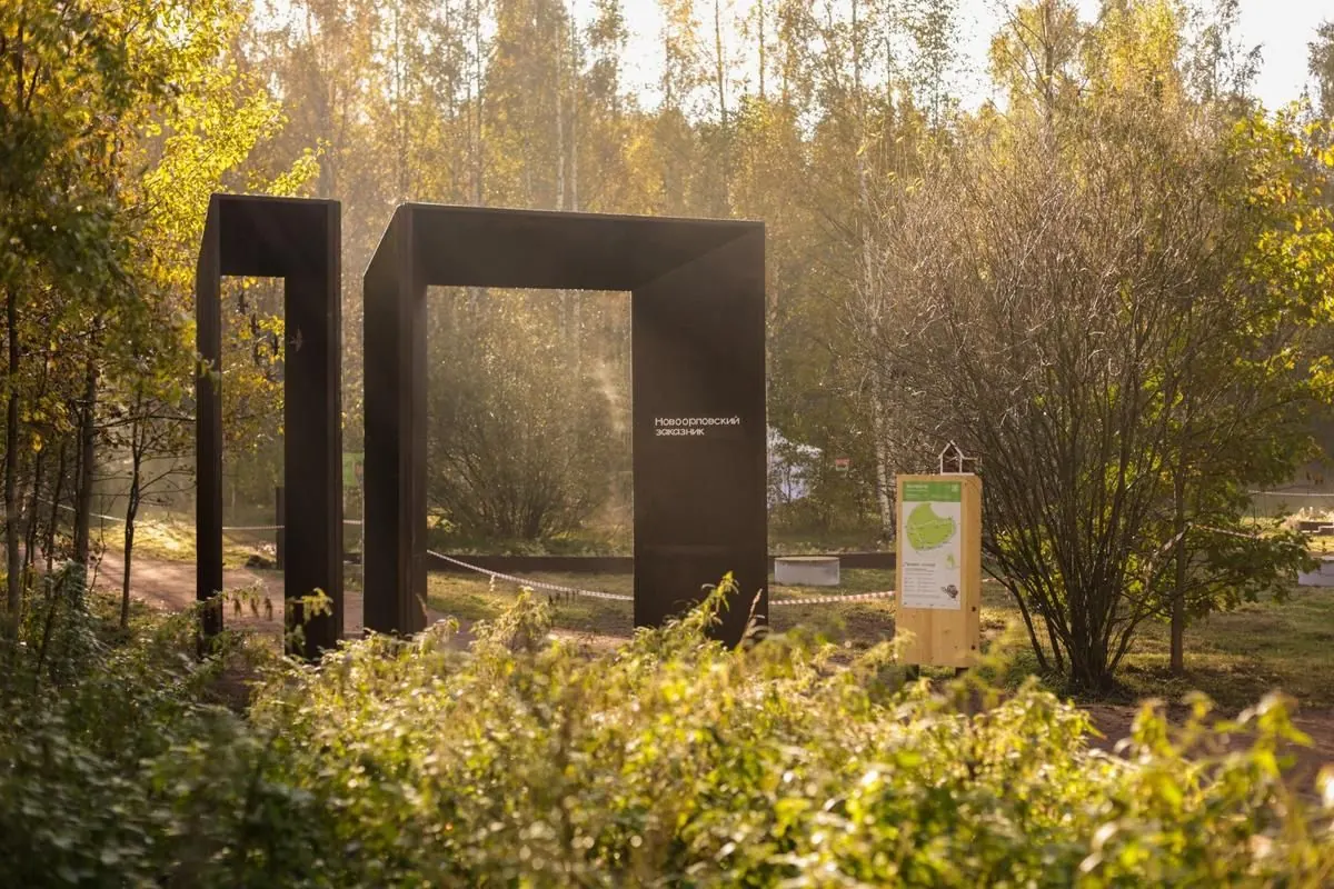
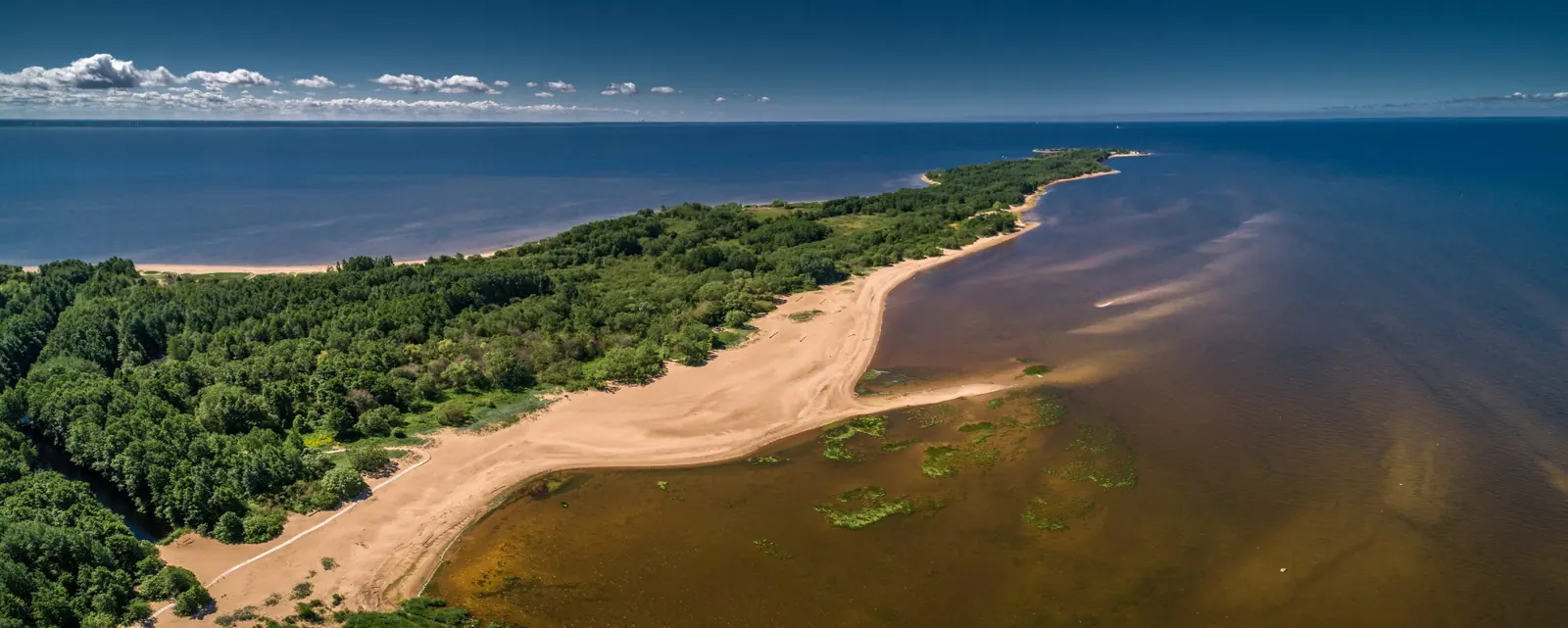
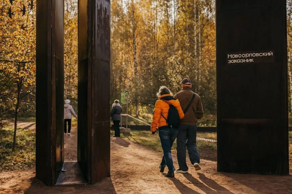
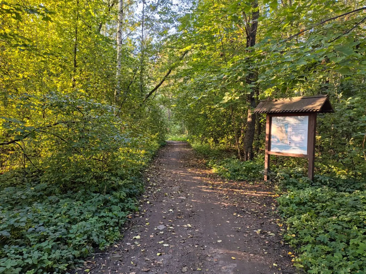
Входной стенд
Входной стенд
Loop
Yes, Государственный природный заказник «Новоорловский» can be planned without a car in Saint Petersburg and Leningrad Region. Check transit schedules and the start point on the map before your trip.
Yes, the route can work for a calm walk with children. Consider weather, surface, and the group pace.
Yes, GPX and KML are available on the route page. Open the map, download the file, and use it in a navigator before your trip; key route facts: 3.0 km, easy.
Saint Petersburg and Leningrad Region
Chukhonka by Izhorsky Pond: Park Loop with a Northern Return
4.0 km↑ 50 mEasy
Prepared
Saint Petersburg and Leningrad Region
Komarovo: Historic Dachas, Chizhov Fountain and the Gulf Shore
5.5 km↑ 120 mEasy
Prepared
Saint Petersburg and Leningrad Region
Sestroretsk Marsh from Beloostrov: A Boardwalk Circuit and Three Viewing Places
7.6 km↑ 76 mModerate
Prepared
Saint Petersburg and Leningrad Region
Between River and Bay at Vybye: A Circuit via Rupor and Bashnya
4.6 km↑ 26 mEasy
Prepared
Saint Petersburg and Leningrad Region
Duderhof’s Two Hilltops: A Circuit via Orekhovaya, Voronya and Victory Alley
3.7 km↑ 178 mModerate
Prepared
Saint Petersburg and Leningrad Region
West Kotlin between Shants and Rif: Coastal Branches and Two Forts
6.7 km↑ 66 mModerate
Prepared
Reviews and questions 0
Log in to read the discussion and leave comments.
Ask about the route or its surface, or share your experience.