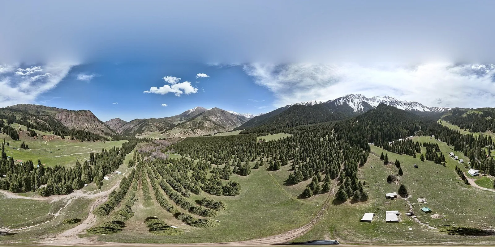


Archa-Tor: From Jeti-Oguz to Chon-Kyzyl-Suu
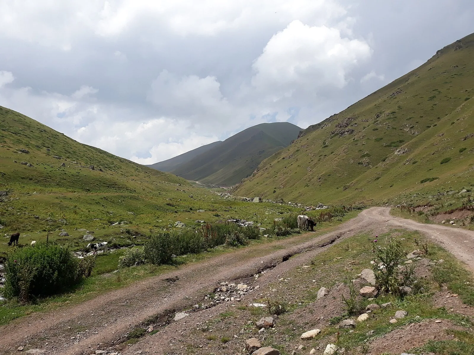
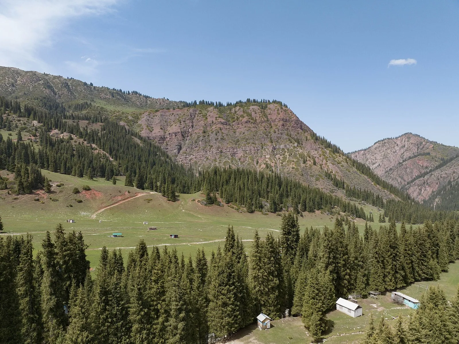
Cross Archa-Tor and reach the neighbouring valley on foot. It suits a planned mountain journey with overnight stops, cent…

Route catalog
Choose a route by mood: a short walk, a weekend hike, or a bike track. Map, distance, and difficulty are always at hand.
We will find routes that match your interests, location and conditions
Found 1915 routes
Curated: 1895 · Community tracks: 20
Cross Archa-Tor and reach the neighbouring valley on foot. It suits a planned mountain journey with overnight stops, cent…
Link Kok-Zhaiyk and Chon-Kyzyl-Suu through named Aksay Pass. The appeal is arriving in another valley rather than retraci…
Meet Ala-Kul from the pass side and walk from the hot-spring valley to its rocky shore. The eastern approach introduces A…
Connect Zhirovichi Monastery with Ruzhany’s churches and Sapieha Museum, then explore the Slonim side at Saint Andrew’s C…
Kamenets Tower and the Hermit Oak offer different reasons to stop: medieval brickwork and a veteran tree that grew beside…
This is a 600.63 km point-to-point cycling route. Shore or waterside sections are recorded on the route. Gentle terrain: …
The track links Ivenetskiy Museum Traditsionnoy Kultury GU, Museum-galereya «Yanushkevichy, Bridge into one continuous ou…
Shore or waterside sections are recorded on the route along this 602.62 km point-to-point cycling route. Gentle terrain: …
The recorded line is a 1.1 km circular walking route, with woodland is one of the route's main features. Gentle terrain: …
This is a 39.93 km circular cycling route with a complete recorded line to follow from start to finish. Gentle terrain: 1…
This is a 20.73 km circular cycling route with a complete recorded line to follow from start to finish. Gentle terrain: 5…
Pause at the actual Riuttavuori viewpoint before completing a distinct woodland circuit with a sustained return climb. Fo…
Explore the southern Riuttavuori–Honkasalo–Vahtimyaki connection and complete a distinct western return. The version comb…
Follow Gorely’s caldera side and the Sredinnoye passage towards the road approach before Opasny. Combine it with a separa…
Reach Adygene’s actual shore and discover the upper valley, where water, rock and a research cabin reveal a different sca…
High saddles reveal how the Caucasus changes from the Prielbrusye side towards Arkhyz and the western valleys. Select an …
The route covers about 1.0 km as a point-to-point hiking route, with Kok Tobe as the most useful starting reference. Use…
Mapped stops at Spring add clear points of interest along the way. Forest sections: woodland is one of the route's main f…
Woodland is one of the route's main features along this 92.75 km circular walking route. Gentle terrain: 698 m of total a…
Woodland is one of the route's main features along this 59.28 km point-to-point walking route. Gentle terrain: 174 m of t…
This 81.27 km point-to-point walking route passes through terrain where the route includes sites with cultural context. G…
The recorded line is a 4 km circular cycling route, with woodland is one of the route's main features. Rolling terrain: 3…
Mapped viewpoints occur along the way along this 204.28 km point-to-point cycling route. Gentle terrain: 425 m of total a…
The recorded line is a 199.7 km point-to-point cycling route, with shore or waterside sections are recorded on the route.…
Pick where to start
Share a trip