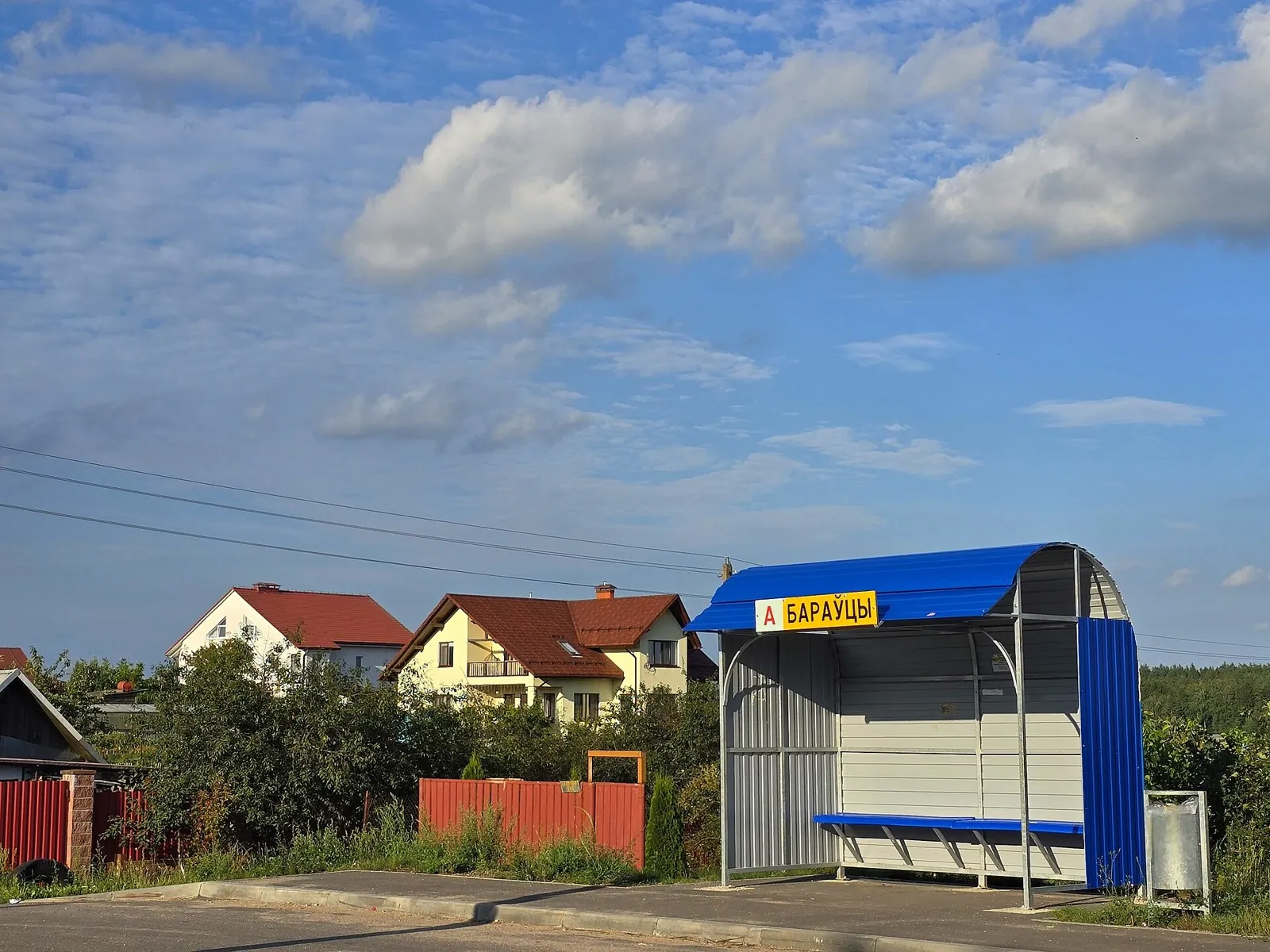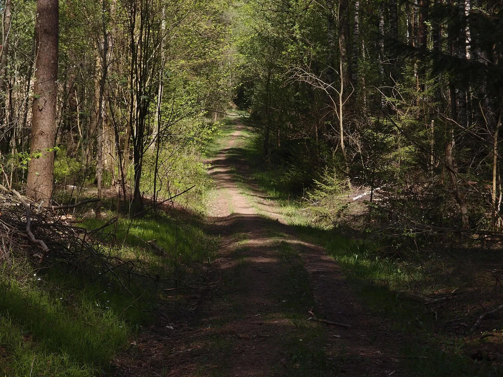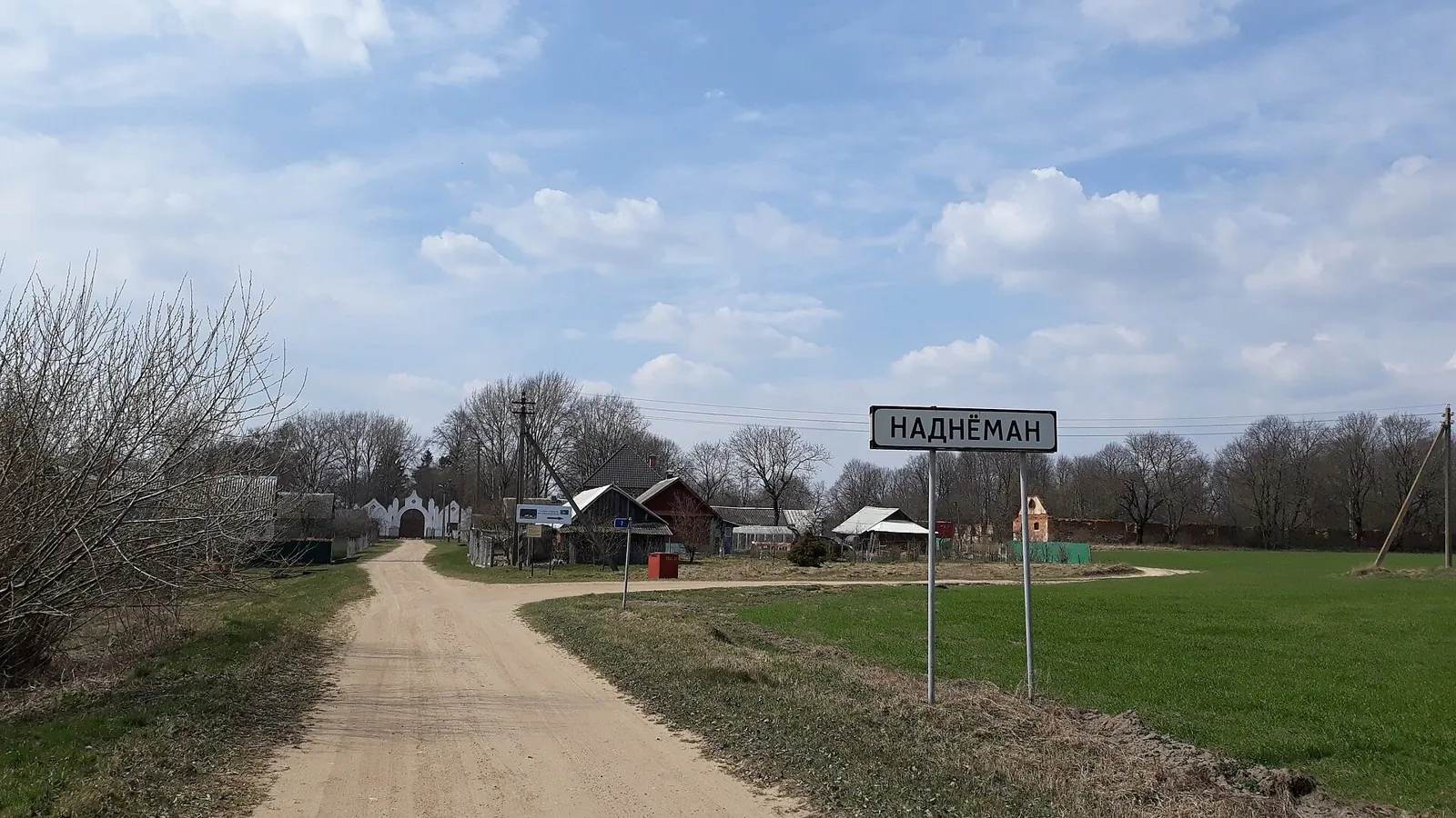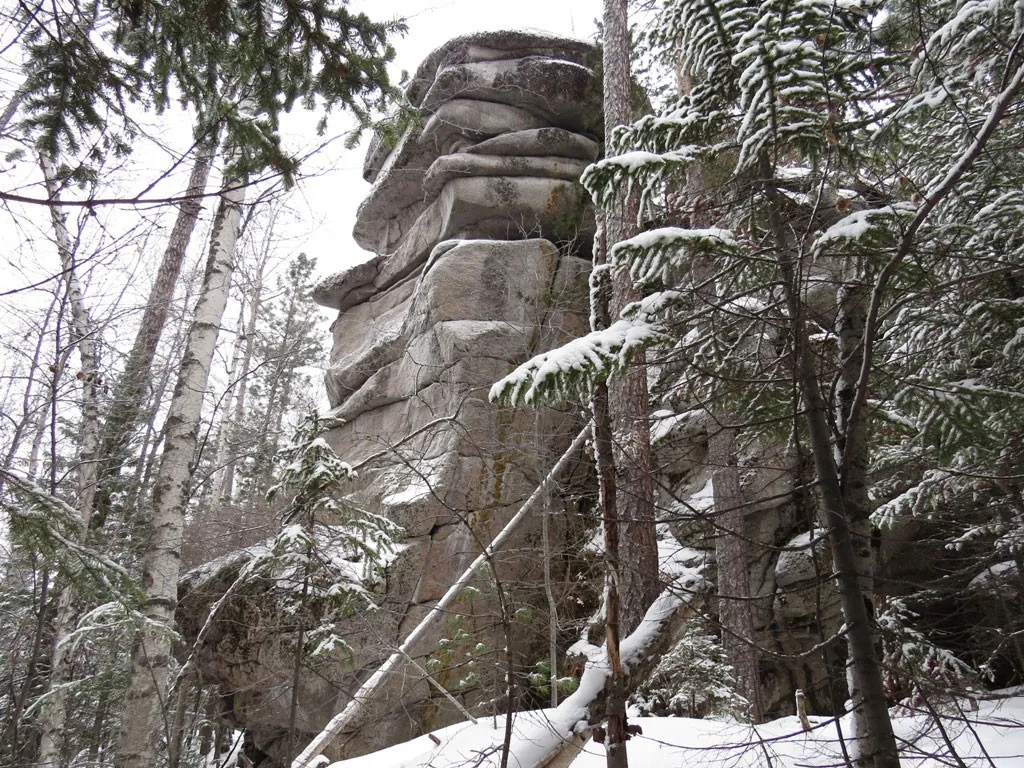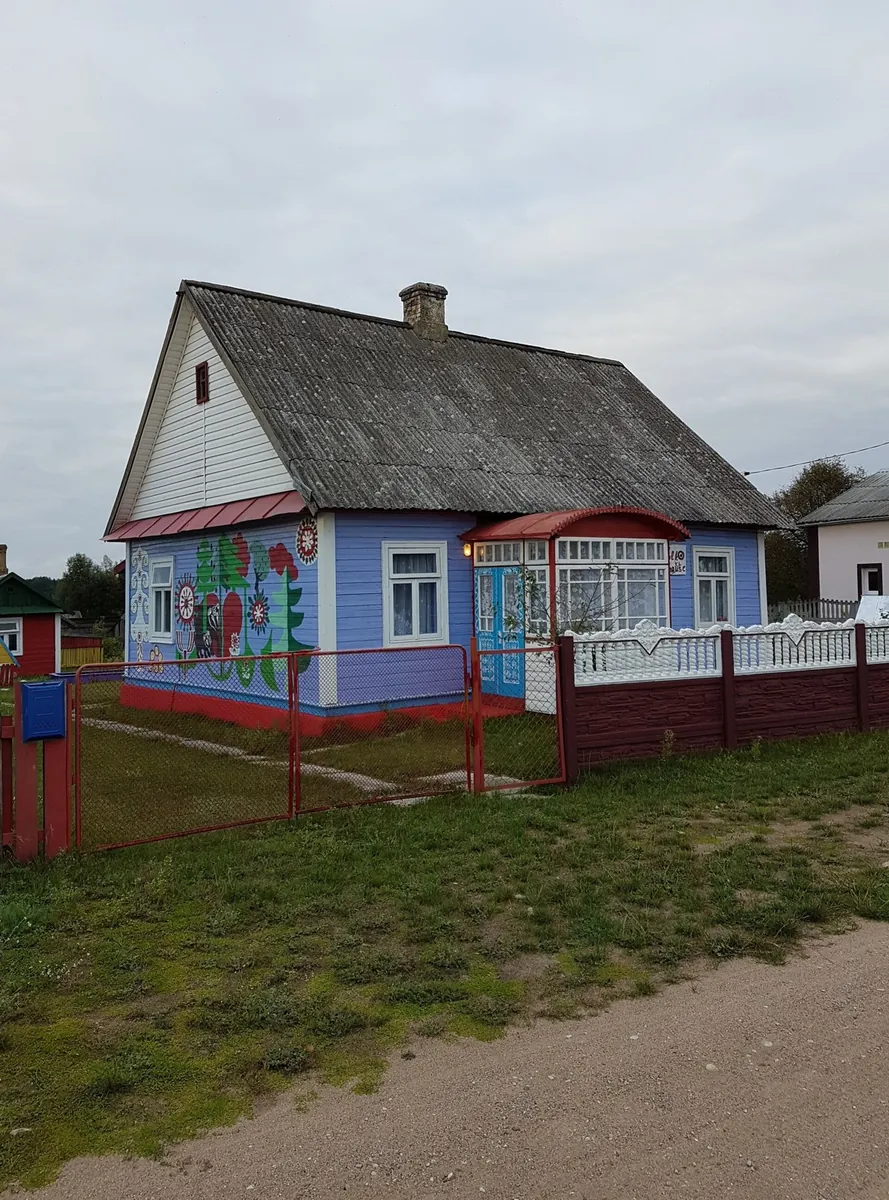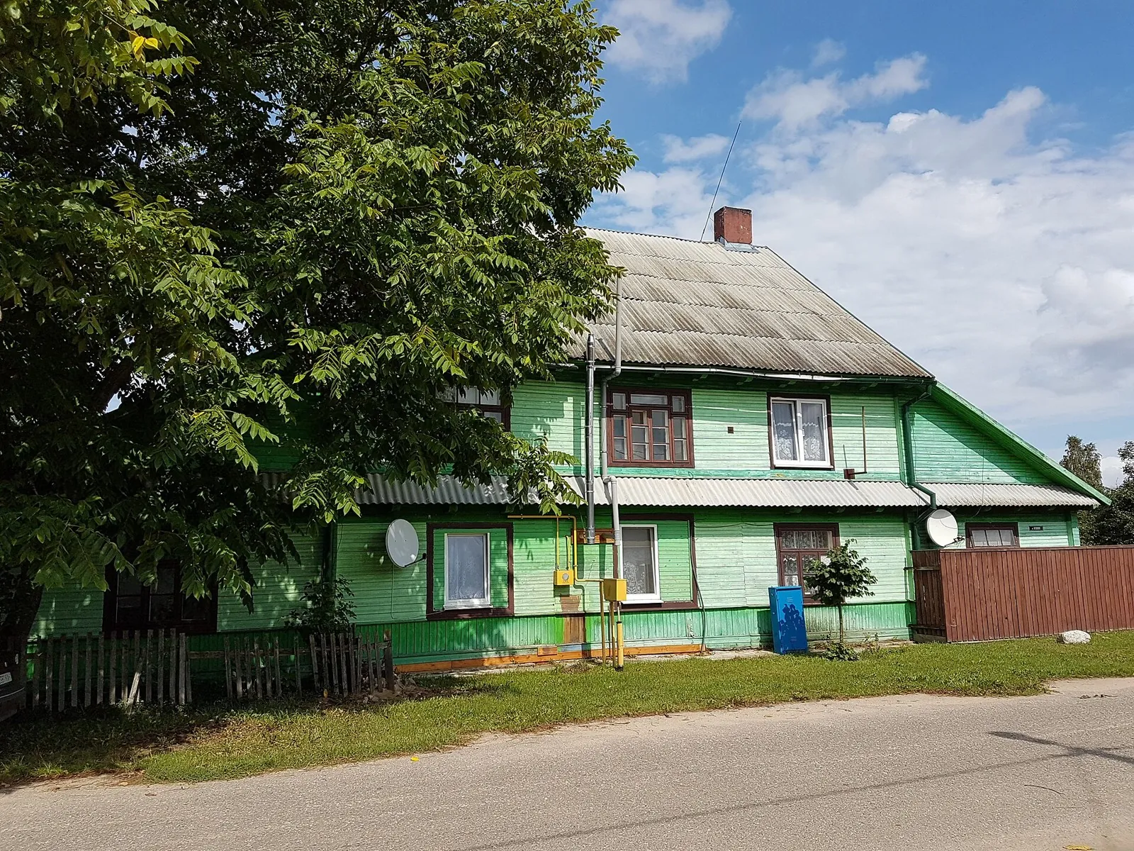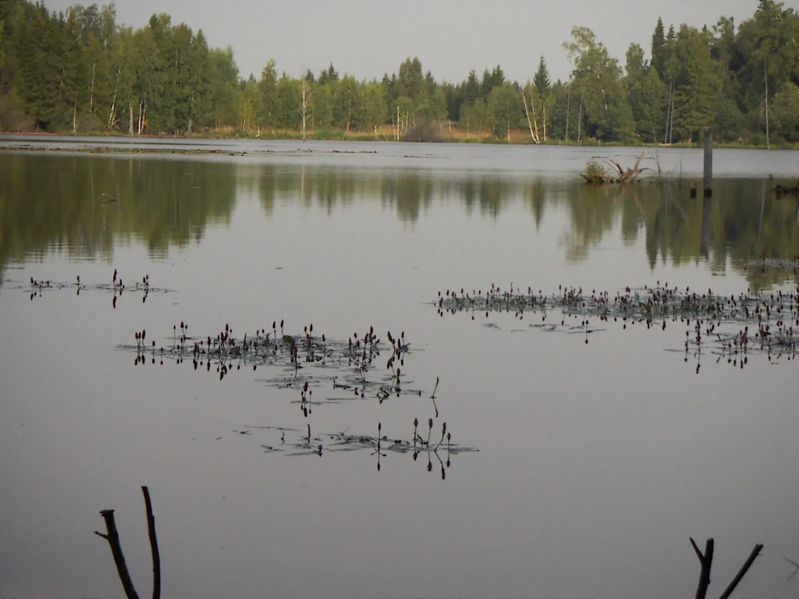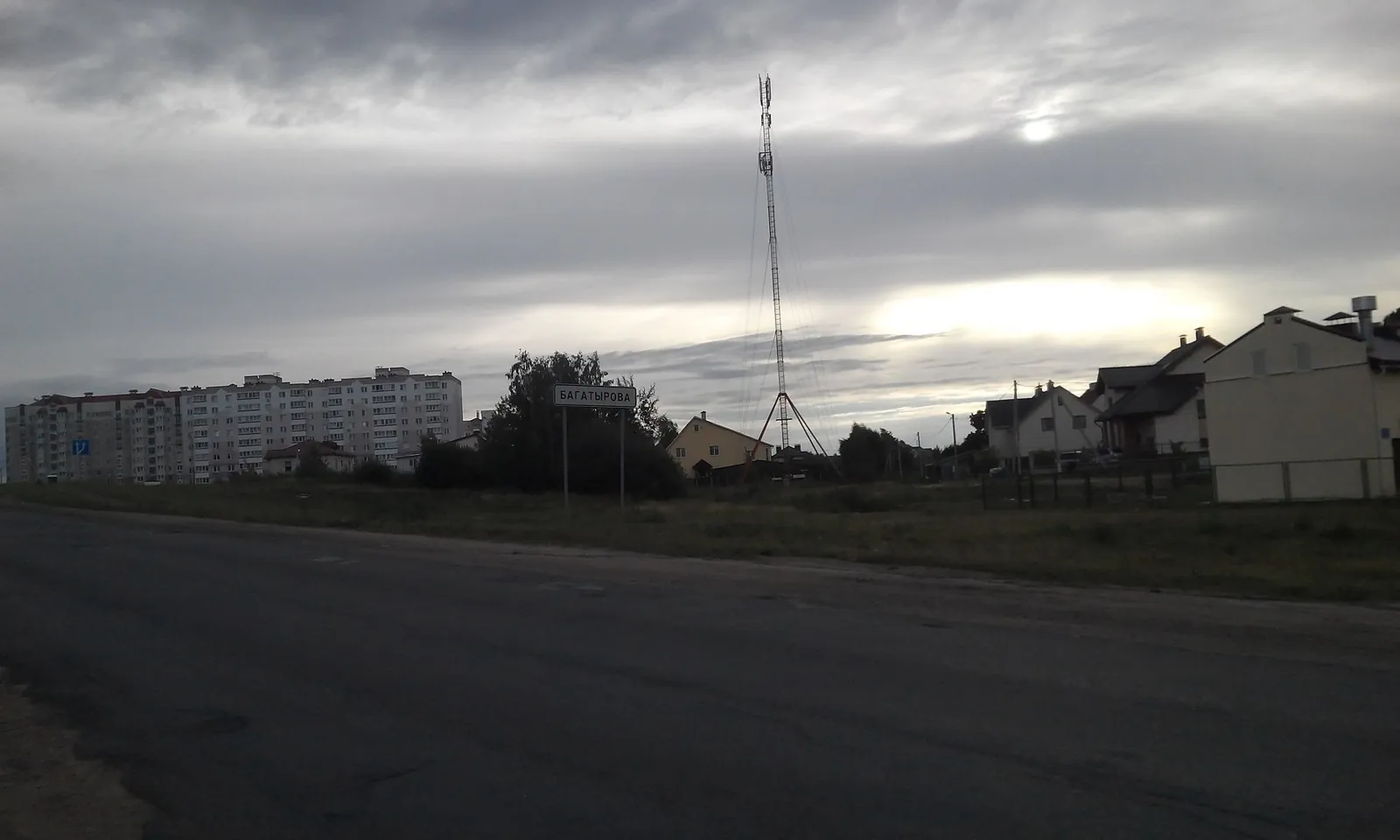


Podosinki to Shevlyagino: three rivers in the Nerskaya basin
Choose it for a long trail-running day in the Nerskaya basin and the gradual passage between distinct river valleys. The …

Route catalog
Routes you can reach without a private car: by train, bus or on foot from the nearest stop.
Найдём подходящие маршруты по вашим интересам, локации и условиям
Подборка TrailTrack
This collection brings together routes that are easier to plan without a private car. They work for trips by train, bus or local transport when you want to understand the start, finish and return logistics in advance.
Before you go, check timetables, the distance from the stop to the trailhead and the return options. Route cards include distance, difficulty, map, description and GPX/KML for navigation.
Found 873 routes
Curated: 873 · Community tracks: 0
Choose it for a long trail-running day in the Nerskaya basin and the gradual passage between distinct river valleys. The …
Woodland is one of the route's main features along this 109.13 km circular walking route. Gentle terrain: 359 m of total …
This is a 26.34 km circular walking route with a complete recorded line to follow from start to finish. Gentle terrain: 4…
Expect woodland is one of the route's main features on this 58.69 km point-to-point walking route. Gentle terrain: 59 m o…
Mapped stops at Fortress add clear points of interest along the way. Open views: mapped viewpoints occur along the way. S…
See Vasilyevskoye from its suspension crossing, pause near the Kryukovo spring and reach the woodland Gnilyusha on the no…
Train in the woods between Opalikha and Nakhabino while passing two small stream valleys. Returning along the southern br…
Expect shore or waterside sections are recorded on the route on this 2.93 km point-to-point cycling route. Gentle terrain…
Treat this 5.45 km circular walking route as a complete outing, paying attention to the terrain and changing surface unde…
The interest of this 48.35 km circular cross-country skiing route lies in travelling the distance itself: its gradients, …
The accessible section combines the Neman with woodland stops beside Zhemchuzhina. The area near Sinka recalls northern G…
Elensky Bor links former forest farmsteads with a clear example of water restoration at Plyanta. It is an engaging ride f…
Treat this 17.71 km point-to-point cross-country skiing route as a complete outing, paying attention to the terrain and c…
Choose this walk for the waterside character of the forest. Plyanta-1, Plyanta-2 and Plyanta-3 offer separate places to p…
The Patriarch Oak and Queen Pine reveal two different veteran trees, while the estate approach offers a separate storyboo…
The variant reveals how long club ski outings linked Morozki surroundings with the Yakhroma valley. The bridge near Khlyb…
The interest of this 34.88 km point-to-point walking route lies in travelling the distance itself: its gradients, surface…
Expect woodland is one of the route's main features on this 199.57 km point-to-point cycling route. Gentle terrain: 210 m…
Woodland is one of the route's main features along this 7.63 km circular walking route. Noticeable climbing: 212 m of tot…
This 7.34 km point-to-point walking route passes through terrain where mapped viewpoints occur along the way. Noticeable …
To leave the street briefly for a separate pedestrian passage beside trees. The appeal lies in this small interval betwee…
Turn a regular run into a directed Pionerskaya–Skolkovo outing, meeting Pear Pond, Forest Lake, Betonka and Sominka Strea…
This is a 404.43 km circular cycling route. Woodland is one of the route's main features. Gentle terrain: 273 m of total …
Expect woodland is one of the route's main features on this 1.98 km point-to-point walking route. Rolling terrain: 16 m o…
Pick where to start
Share a trip