TrailTrack routes

Маршруты с подготовленным описанием, сложностью, покрытием и планированием визита.

Found 1895 routes
Choose a route from the list or view routes on the map.
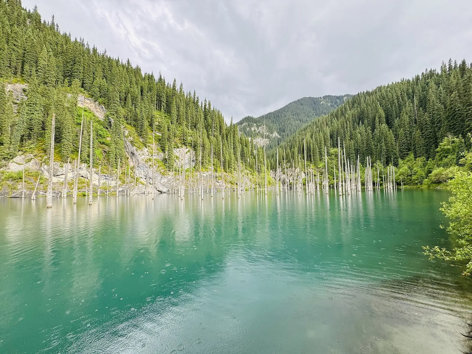
Lake Kaindy: A Short Walk to the Drowned Spruce Forest
✓ TrailTrack

Lake Kaindy: A Short Walk to the Drowned Spruce Forest

Hiking · One-day

Choose this approach to meet Kaindy without undertaking the longer lake-to-lake crossing. Linger at the shore and see how the forest continues beneath the water.

1.3 km 93 +7 m Easy
Osipovichi Grand Green Maze
✓ TrailTrack

Osipovichi Grand Green Maze

Bicycle · One-day

Expect shore or waterside sections are recorded on the route on this 45.13 km circular cycling route. Gentle terrain: 80 m of total ascent over 45.13 km. Surface: natural ground plus sand. Estimated moving time is about 4.2 hours; add time for pauses and navigation.

45.1 km 93 +80 m Hard
Lida Fleche
✓ TrailTrack

Lida Fleche

КП1 Новогрудок 60км · Hiking · Multi-day

The recorded line is a 360.69 km point-to-point walking route, with woodland is one of the route's main features. Gentle terrain: 179 m of total ascent over 360.69 km. Surface: asphalt. Allow at least 16 days and verify overnight and exit options independently.

360.7 km 93 +179 m Hard
Tsnyanka: Nature Circuit
✓ TrailTrack

Tsnyanka: Nature Circuit

Bicycle · One-day

The recorded line is a 4 km circular cycling route, with woodland is one of the route's main features. Rolling terrain: 35 m of total ascent over 4 km. Surface: natural ground. Estimated moving time is about 0.5 hours; add time for pauses and navigation.

4.0 km 93 +35 m Easy
Minsk: Nature Circuit
✓ TrailTrack

Minsk: Nature Circuit

Bicycle · One-day

Expect woodland is one of the route's main features on this 2.83 km point-to-point cycling route. Rolling terrain: 50 m of total ascent over 2.83 km. Surface: natural ground. Estimated moving time is about 0.5 hours; add time for pauses and navigation.

2.8 km 93 +50 m Easy
Lake Country Route: to the water park and accommodation
✓ TrailTrack

Lake Country Route: to the water park and accommodation

Bicycle · One-day

Expect shore or waterside sections are recorded on the route on this 7.53 km point-to-point cycling route. Gentle terrain: 11 m of total ascent over 7.53 km. Surface: asphalt plus paving stones. Estimated moving time is about 0.7 hours; add time for pauses and navigation.

7.5 km 93 +11 m Easy
Sapotskin to Svyatsk: Six Rural Circuits
✓ TrailTrack

Sapotskin to Svyatsk: Six Rural Circuits

Hiking · Multi-day

Use the rural Sapotskin–Svyatsk loop for an extended series of repeated outings. Perstunka, the manor park’s southern boundary and the settlement monument provide distinct landmarks, while returns to the departure district support prearranged supplies.

92.7 km 93 +918 m Hard
Separate Lida Cycle Directions: Radun, Ivye and Novogrudok
✓ TrailTrack

Separate Lida Cycle Directions: Radun, Ivye and Novogrudok

Separate Lida Cycle Directions: Radun · Bicycle · Multi-day

Explore contrasting regional heritage through independent cycle outings. Krupovo and Lipnishki churches, Ivye streets and the Neman crossing provide distinct pauses; the separated programme lets you choose manageable directions.

197.1 km 93 +436 m Hard
Hidden Corners of Polotsk: via Obol
✓ TrailTrack

Hidden Corners of Polotsk: via Obol

КП 0 База · Bicycle · Multi-day

The recorded line is a 199.7 km point-to-point cycling route, with shore or waterside sections are recorded on the route. Gentle terrain: 103 m of total ascent over 199.7 km. Surface: asphalt. Allow at least 3 days and verify overnight and exit options independently.

199.7 km 93 +103 m Hard
Old Narrow-Gauge Railway from Malkovichi to Zaberezye
✓ TrailTrack

Old Narrow-Gauge Railway from Malkovichi to Zaberezye

Hiking · One-day

The recorded line is a 14.36 km point-to-point walking route, with woodland is one of the route's main features. Gentle terrain: 15 m of total ascent over 14.36 km. Surface: natural ground plus asphalt. Estimated moving time is about 4.2 hours; add time for pauses and navigation.

14.4 km 93 +15 m Moderate
Brest Central to the Western Start: A Short Bicycle Link
✓ TrailTrack

Brest Central to the Western Start: A Short Bicycle Link

М · Bicycle · One-day

Reach the western starting area under your own power and begin a bicycle journey directly after arrival by train.

4.8 km 93 +1 m Easy
Povarovka to Katuar: Morozovo’s north shore and the southern woodland arc
✓ TrailTrack

Povarovka to Katuar: Morozovo’s north shore and the southern woodland arc

Moscow region · Run · One-day

Run between the Leningrad and Savyolovsky railway sides through Morozovo’s northern shore. This version follows the southern Myshetskoye arc and ends nearer Katuar’s station side than the separate northern version.

37.9 km 93 +381 m Hard
Small Grove Circuit: Giant Yew before the Stone Labyrinth
✓ TrailTrack

Small Grove Circuit: Giant Yew before the Stone Labyrinth

Hiking · One-day

The Giant Yew and Stone Labyrinth give the short walk two clear destinations. Explore protected woodland during part of a day, with time left for the entrance exhibition.

1.3 km 92 +0 m Easy
From Claw Waterfall towards the Bear Gates entrance
✓ TrailTrack

From Claw Waterfall towards the Bear Gates entrance

Hiking · One-day

Claw Waterfall gives this walk its own destination. Take time with one woodland cascade and its approach, linger beside the water and continue quietly towards the entrance side of the mountain paths.

2.8 km 92 +0 m Easy
Eagle Rocks: via Prometheus to the Agura Junction
✓ TrailTrack

Eagle Rocks: via Prometheus to the Agura Junction

Hiking · One-day

Eagle Rocks and Prometheus provide specific natural and artistic stops. Plan the upper passage after confirming permitted territory, an independent approach and a safe return.

1.2 km 92 +0 m Easy
Four Digoria Outings: Chifandzar, Tana, Gebidon and Galdoridon
✓ TrailTrack

Four Digoria Outings: Chifandzar, Tana, Gebidon and Galdoridon

Caucasus · Hiking · Multi-day

Chifandzar, Orsdon Waterfall and Galdoridon provide three distinct water landscapes: a peat valley, an upper mountain waterfall and lower-gorge cascades. Separate outings give each place its own attention.

49.8 km 92 +1603 m Hard
Shagatsikomdon and Rekom: waterfalls and Tsey’s sacred clearing
✓ TrailTrack

Shagatsikomdon and Rekom: waterfalls and Tsey’s sacred clearing

Caucasus · Hiking · One-day

Combine Shagatsikomdon Waterfall with a respectful introduction to Rekom. The two stops reveal the Tsey valley as both a natural and cultural place, where visiting rules are part of the experience.

4.4 km 92 +293 m Moderate
Dargavs via Kakadur and Karmadon towards Vladikavkaz
✓ TrailTrack

Dargavs via Kakadur and Karmadon towards Vladikavkaz

Caucasus · Hiking · Multi-day

Explore Dargavs and the letter AE on the pass road, then visit Karmadon memorials on the way towards Vladikavkaz. The journey connects Ossetian culture with its history and calls for respectful behaviour at the necropolis and commemorative sites.

73.0 km 92 +1238 m Hard
Health trail
✓ TrailTrack

Health trail

Hiking · One-day

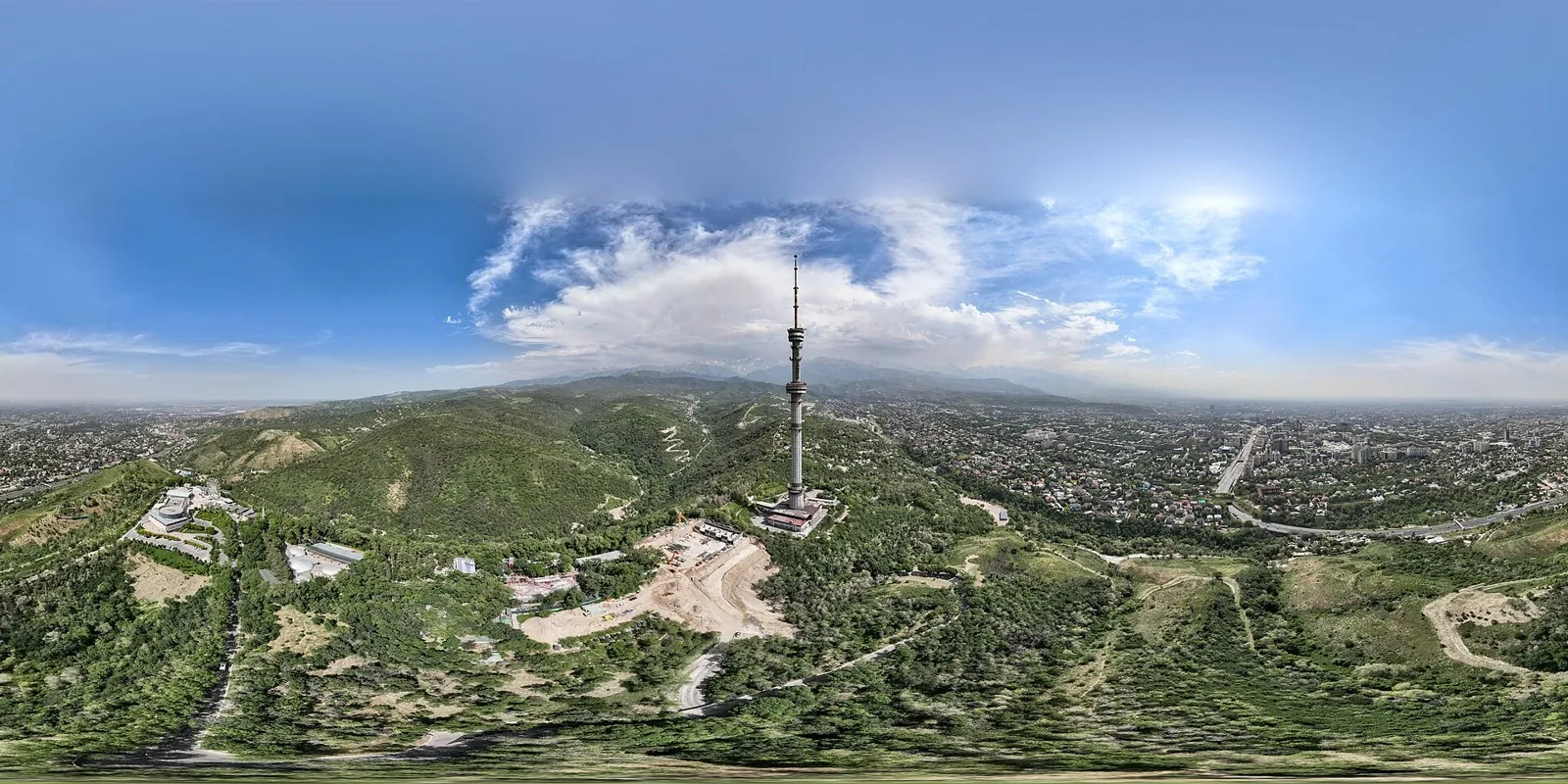
The route covers about 1.0 km as a point-to-point hiking route, with Kok Tobe as the most useful starting reference. Use Kok Tobe as the starting reference and Kok Tobe as the finishing reference; plan the return in advance. Features worth noticing include Kok-Tobe (peak, 1130 m, about 0.1 km away); Kok Tobe tower (attraction, about 0.3 km away); Қазақстан Республикасы Президентінің мұрағаты (attraction, about 1.5 km away); Central State Museum of the Republic of Kazakhstan (museum, about 1.8 km away); Museum of Arts (museum, about 1.9 km away). The route itself has no recorded elevations, but nearby named features rise to about 1130 m. This matters for weather and acclimatisation. Original material: OpenStreetMap — https://www.openstreetmap.org/relation/19761587.

1.0 km 92 +120 m Easy
Across the Wide World: via Shklov
✓ TrailTrack

Across the Wide World: via Shklov

Магазин · Bicycle · Multi-day

Expect woodland is one of the route's main features on this 201.53 km point-to-point cycling route. Gentle terrain: 217 m of total ascent over 201.53 km. Surface: asphalt. Allow at least 3 days and verify overnight and exit options independently.

201.5 km 92 +217 m Hard
Berezina Gravel Circuit: Open-country variant
✓ TrailTrack

Berezina Gravel Circuit: Open-country variant

КП2, Березино, храм святителя Николая Чудотворца · Hiking · Multi-day

Mapped stops at Spring add clear points of interest along the way. Near the water: shore or waterside sections are recorded on the route. Gentle terrain: 160 m of total ascent over 202.65 km. Allow at least 9 days and verify overnight and exit options independently.

202.7 km 92 +160 m Hard
Road of Silence: Eastern route
✓ TrailTrack

Road of Silence: Eastern route

Церковь Святого Алексея · Hiking · Multi-day

The track links Ivenetskiy Museum Traditsionnoy Kultury GU, Museum-galereya «Yanushkevichy, Bridge into one continuous outdoor outing. Forest sections: woodland is one of the route's main features. Gentle terrain: 121 m of total ascent over 78.45 km. Surface: asphalt plus compacted ground.

78.5 km 92 +121 m Hard
Spring Ride: Link to Sloboda Station
✓ TrailTrack

Spring Ride: Link to Sloboda Station

Bicycle · One-day

The recorded line is a 1.36 km point-to-point cycling route, with woodland is one of the route's main features. Gentle terrain: 6 m of total ascent over 1.36 km. Surface: asphalt. Estimated moving time is about 0.3 hours; add time for pauses and navigation.

1.4 km 92 +6 m Easy
Interfluve Gravel Route: Short route
✓ TrailTrack

Interfluve Gravel Route: Short route

Bicycle · One-day

The recorded line is a 2.02 km point-to-point cycling route, with shore or waterside sections are recorded on the route. Gentle terrain: 1 m of total ascent over 2.02 km. Surface: natural ground plus asphalt. Estimated moving time is about 0.4 hours; add time for pauses and navigation.

2.0 km 92 +1 m Easy
Back Page 45 of 79 Next