TrailTrack routes

Routes with a prepared description, difficulty, surface details and visit planning.

Found 1895 routes
Choose a route from the list or view routes on the map.
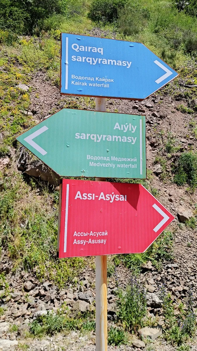
Turgen towards Assy: A Composite Observatory Outing
✓ TrailTrack

Turgen towards Assy: A Composite Observatory Outing

Bicycle · Multi-day

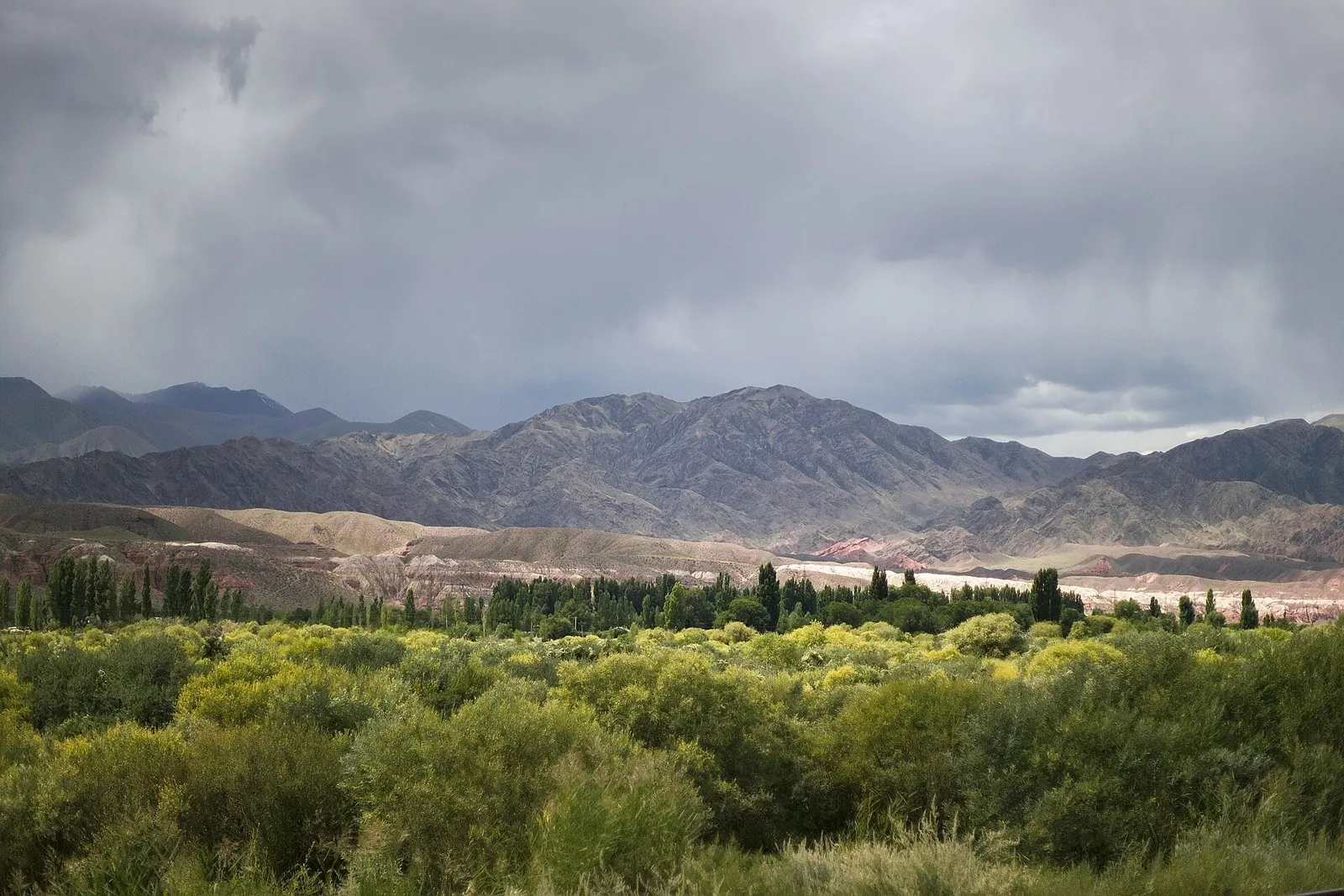
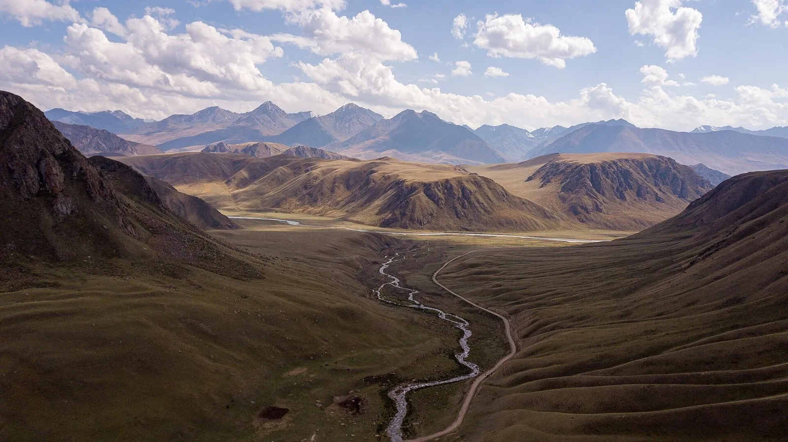
After access is confirmed, see the actual Turgen Valley, Assy Plateau and a specific scientific observatory’s exterior on independently organised cycling sections. Different upper directions provide distinct mountain settings while requiring an agreed individual plan.

112.2 km 95 +3437 m Hard
Across the Wide World: via Shklov
✓ TrailTrack

Across the Wide World: via Shklov

Magazin · Bicycle · Multi-day

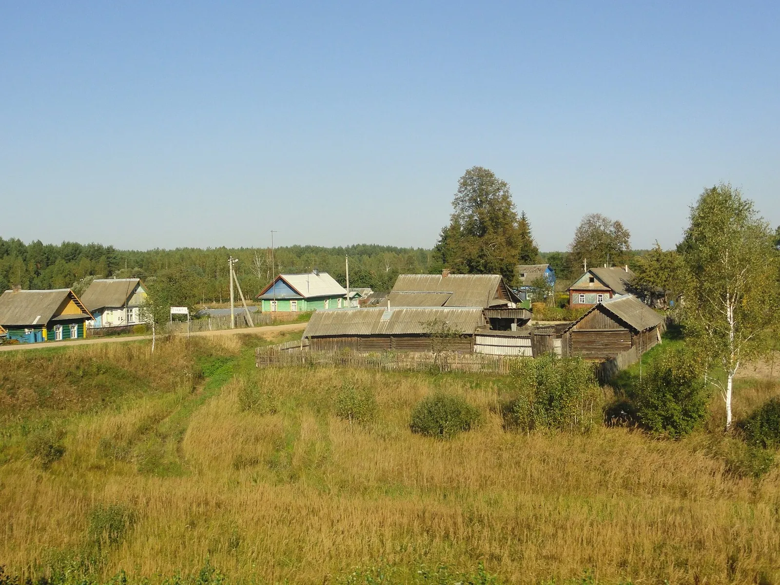
Expect woodland is one of the route's main features on this 201.53 km point-to-point cycling route. Gentle terrain: 217 m of total ascent over 201.53 km. Surface: asphalt. Allow at least 3 days and verify overnight and exit options independently.

201.5 km 95 +217 m Hard
Lida Fleche
✓ TrailTrack

Lida Fleche

Kp1 Novogrudok 60km · Hiking · Multi-day

The recorded line is a 360.69 km point-to-point walking route, with woodland is one of the route's main features. Gentle terrain: 179 m of total ascent over 360.69 km. Surface: asphalt. Allow at least 16 days and verify overnight and exit options independently.

360.7 km 95 +179 m Hard
Malinovka Scenic End-of-Summer Route
✓ TrailTrack

Malinovka Scenic End-of-Summer Route

Gorodishche · Hiking · Multi-day

This 39.63 km point-to-point walking route passes through terrain where woodland is one of the route's main features. Gentle terrain: 110 m of total ascent over 39.63 km. Surface: asphalt plus natural ground. Allow at least 2 days and verify overnight and exit options independently.

39.6 km 95 +110 m Hard
Spring Ride: Link to Sloboda Station
✓ TrailTrack

Spring Ride: Link to Sloboda Station

Bicycle · One-day

The recorded line is a 1.36 km point-to-point cycling route, with woodland is one of the route's main features. Gentle terrain: 6 m of total ascent over 1.36 km. Surface: asphalt. Estimated moving time is about 0.3 hours; add time for pauses and navigation.

1.4 km 95 +6 m Easy
Pleshchenitsy Circuit: via Smolevichi
✓ TrailTrack

Pleshchenitsy Circuit: via Smolevichi

Kp1 Logoysk, 57km · Bicycle · Multi-day

This 198.84 km circular cycling route passes through terrain where woodland is one of the route's main features. Gentle terrain: 497 m of total ascent over 198.84 km. Surface: asphalt plus concrete. Allow at least 3 days and verify overnight and exit options independently.

198.8 km 95 +497 m Hard
Zhirovichi, Ruzhany and Slonim: Cycling beside the Monastery and Oginski Canal
✓ TrailTrack

Zhirovichi, Ruzhany and Slonim: Cycling beside the Monastery and Oginski Canal

Kp0 Start · Bicycle · Multi-day

Connect Zhirovichi Monastery with Ruzhany’s churches and Sapieha Museum, then explore the Slonim side at Saint Andrew’s Church, the Issa and Oginski Canal. Several touring stages leave time for distinct historical encounters.

209.1 km 95 +197 m Hard
Old Narrow-Gauge Railway from Malkovichi to Zaberezye
✓ TrailTrack

Old Narrow-Gauge Railway from Malkovichi to Zaberezye

Hiking · One-day

The recorded line is a 14.36 km point-to-point walking route, with woodland is one of the route's main features. Gentle terrain: 15 m of total ascent over 14.36 km. Surface: natural ground plus asphalt. Estimated moving time is about 4.2 hours; add time for pauses and navigation.

14.4 km 95 +15 m Moderate
Brest: Quiet Forest Trail
✓ TrailTrack

Brest: Quiet Forest Trail

Hiking · One-day

The recorded line is a 1.28 km point-to-point walking route, with woodland is one of the route's main features. Gentle terrain: 10 m of total ascent over 1.28 km. Estimated moving time is about 0.6 hours; add time for pauses and navigation.

1.3 km 95 +10 m Easy
Bereza, Drogichin and Pinsk: a Polesie Cycling Journey towards Turov
✓ TrailTrack

Bereza, Drogichin and Pinsk: a Polesie Cycling Journey towards Turov

Velopoles · Bicycle · Multi-day

Connect the Yaselda and Pina with Drogichin’s Presentation Church and Butrimovich Palace in Pinsk. Turov and Petrikov extend the journey through Polesie, with overnight stages allowing time for places a quick transit would reduce to road signs.

631.8 km 95 +1747 m Hard
Klimovsk’s Small Ski Loop South of the Petritsa
✓ TrailTrack

Klimovsk’s Small Ski Loop South of the Petritsa

Moscow region · Skiing · One-day

Choose a compact closed part of Klimovsk’s ski area south of the Petritsa. An eastern leg, southern turn and western return provide a clear sequence for an independent winter outing after checking snow and the approach.

1.2 km 95 +32 m Moderate
Honkasalo from Rigola: Riuttavuori, Vahtimyaki and the Western Trail Return
✓ TrailTrack

Honkasalo from Rigola: Riuttavuori, Vahtimyaki and the Western Trail Return

Honkasalo from Rigola: Riuttavuori · Run · One-day

Explore the southern Riuttavuori–Honkasalo–Vahtimyaki connection and complete a distinct western return. The version combines actual viewpoints with sustained movement on woodland roads.

35.4 km 94 +0 m Hard
Kivakka’s western ascent to the Lake Pyaozero view
✓ TrailTrack

Kivakka’s western ascent to the Lake Pyaozero view

Hiking · One-day

Watch northern forest give way to mountain tundra and emerge above Lake Pyaozero. Kivakka introduces Paanajarvi’s mountain scenery within a properly prepared day.

4.1 km 94 +0 m Easy
Riekkalansaari from Rigola: Long Circuit through Honkasalo and the Northern Sortavala View
✓ TrailTrack

Riekkalansaari from Rigola: Long Circuit through Honkasalo and the Northern Sortavala View

Run · One-day

Explore a long sporting version linking Riuttavuori, Vahtimyaki on Honkasalo and a separate northern Sortavala view. Its western and northern woodland return distinguishes it from shorter outings focused on the southern rocks.

56.6 km 94 +0 m Hard
Kezenoy-Am to Hebda: Preobrazhenskaya Fortress and Khupurda-Meir
✓ TrailTrack

Kezenoy-Am to Hebda: Preobrazhenskaya Fortress and Khupurda-Meir

Caucasus · Hiking · Multi-day

Walk from Lake Kezenoy-Am towards Hebda through Preobrazhenskaya Fortress and Khupurda-Meir. The lake, historic site and pass provide three distinct reasons to pause in this direction.

93.6 km 94 +0 m Hard
Blue Lake in the Turya mountains: approach to a glacial basin
✓ TrailTrack

Blue Lake in the Turya mountains: approach to a glacial basin

Hiking · One-day

The attraction is a high mountain lake in a natural glacial basin, without resort viewing platforms around its shore. Water and rock give Blue Lake a distinct setting for quiet observation. Visit only with an agreed, lawful day plan; a lakeside tent camp is not an authorised part of the experience.

7.4 km 94 +0 m Easy
Medoveyevka and Efremov Viewpoint: Two Separate Woodland Passages
✓ TrailTrack

Medoveyevka and Efremov Viewpoint: Two Separate Woodland Passages

Hiking · One-day

Compare the western woodland watercourses with the viewpoint and historical setting on Monashka. The programme has two independent focuses, the Medoveyevka side and Efremov Viewpoint, with arrangements made for each one.

14.6 km 94 +0 m Moderate
Rosa Health Trail: Two Separate Sections beside Nadezhda and High Waterfall
✓ TrailTrack

Rosa Health Trail: Two Separate Sections beside Nadezhda and High Waterfall

Hiking · One-day

Examine Nadezhda and High Waterfall on two independent woodland visits near the resort. The plan gives attention to each waterfall without inventing a connection between the parts.

2.3 km 94 +0 m Easy
Inner Konorchek Gullies Return to the Red Bridge Road Approach
✓ TrailTrack

Inner Konorchek Gullies Return to the Red Bridge Road Approach

Hiking · One-day

Follow russet sandy gullies towards the exit and see the narrow mountain labyrinth gradually open towards Boom Gorge.

6.3 km 94 +7 m Moderate
Along Burkhan and Bolgart — the Inner Tien Shan River Journey
✓ TrailTrack

Along Burkhan and Bolgart — the Inner Tien Shan River Journey

Along Burkhan and Bolgart · Hiking · Multi-day

Follow Burkhan, its tributaries and Bolgart to see the river system feeding Small Naryn take shape. It suits a substantial river trek with real confluences and unfolding valleys as the main landmarks.

52.7 km 94 +39 m Hard
Duleby Forest Cycling Loop
✓ TrailTrack

Duleby Forest Cycling Loop

Bicycle · One-day

This 69.41 km point-to-point cycling route passes through terrain where woodland is one of the route's main features. Gentle terrain: 99 m of total ascent over 69.41 km. Surface: natural ground plus compacted ground. Estimated moving time is about 6.4 hours; add time for pauses and navigation.

69.4 km 94 +99 m Hard
Interfluve Gravel Route: Short route
✓ TrailTrack

Interfluve Gravel Route: Short route

Bicycle · One-day

The recorded line is a 2.02 km point-to-point cycling route, with shore or waterside sections are recorded on the route. Gentle terrain: 1 m of total ascent over 2.02 km. Surface: natural ground plus asphalt. Estimated moving time is about 0.4 hours; add time for pauses and navigation.

2.0 km 94 +1 m Easy
Lida: Heritage Route on Old Roads: via Ivye
✓ TrailTrack

Lida: Heritage Route on Old Roads: via Ivye

Start/finish · Hiking · Multi-day

The recorded line is a 90.56 km circular walking route, with the route includes sites with cultural context. Gentle terrain: 70 m of total ascent over 90.56 km. Surface: asphalt plus improved surface. Allow at least 4 days and verify overnight and exit options independently.

90.6 km 94 +70 m Hard
Belarusian Fleche across the Minsk Region: via Zhirovichi
✓ TrailTrack

Belarusian Fleche across the Minsk Region: via Zhirovichi

Kp 2(60) · Hiking · Multi-day

This 383.54 km point-to-point walking route is shaped by its terrain, surface and pace rather than a single landmark. Gentle terrain: 380 m of total ascent over 383.54 km. Allow at least 17 days and verify overnight and exit options independently.

383.5 km 94 +380 m Hard
Back Page 49 of 79 Next