TrailTrack routes

Маршруты с подготовленным описанием, сложностью, покрытием и планированием визита.

Found 1895 routes
Choose a route from the list or view routes on the map.
Talovskiye to Central: woodland return via Malysh and Babye
✓ TrailTrack

Talovskiye to Central: woodland return via Malysh and Babye

Hiking · One-day

Return from the Talovaya valley through named Malysh Pass towards Babye’s woodland side and the central ranger-station area. The passage shows different parts of the Nalychevo valley, while the museum side near the finish connects it with the history of local exploration.

11.4 km 82 +0 m Moderate
Jindi-Bel: from Akart towards the Jash Valley
✓ TrailTrack

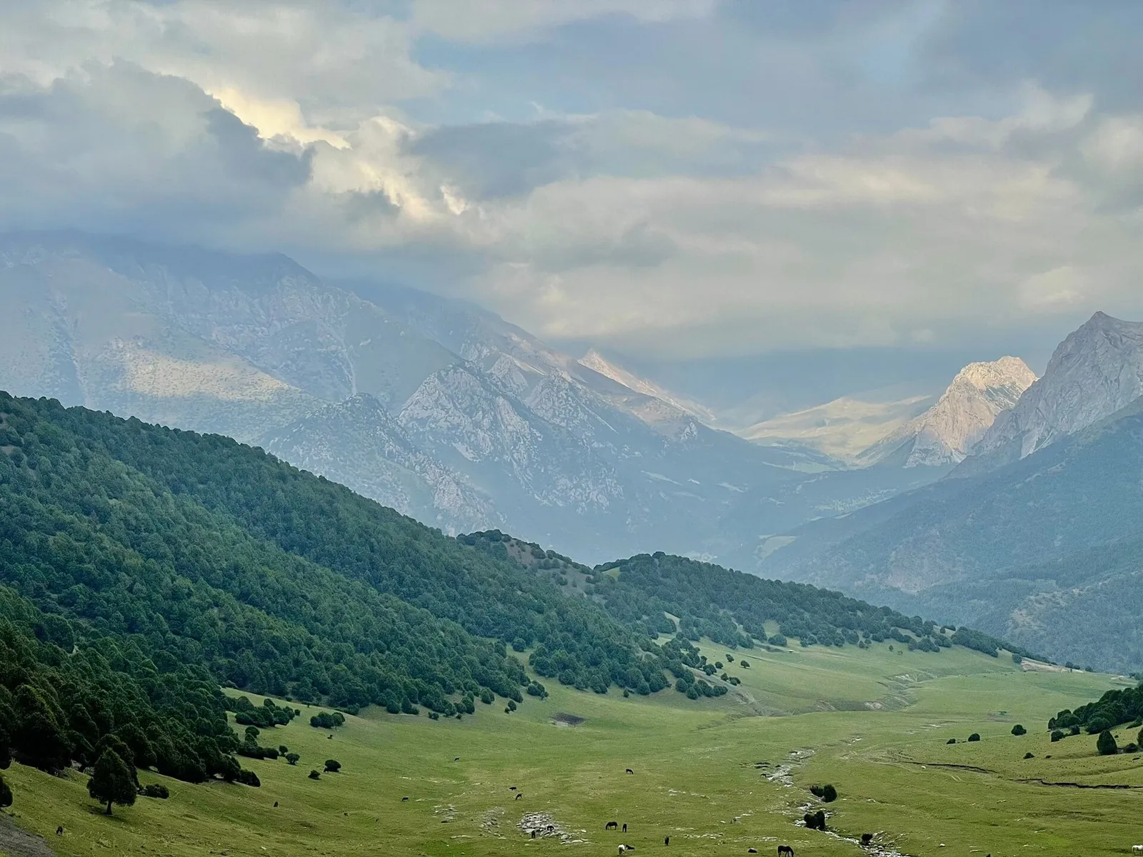
Jindi-Bel: from Akart towards the Jash Valley

Hiking · One-day

To cross Jindi-Bel from the Akart valley towards the Jash. The change of river catchment beyond the saddle defines this compact crossing.

8.8 km 82 +511 m Easy
Archaly to Jinalach — the Western Crossing towards Kensu
✓ TrailTrack

Archaly to Jinalach — the Western Crossing towards Kensu

Archaly to Jinalach · Hiking · One-day

Follow the western link from Archaly towards Jinalach and Kensu and discover the Small Naryn basin valleys. It suits travellers building a mountain trek from lesser-known crossings with clear natural landmarks.

27.1 km 82 +229 m Hard
Shymbulak–Medeu: Separate Valley Cycling Sections
✓ TrailTrack

Shymbulak–Medeu: Separate Valley Cycling Sections

Bicycle · One-day

See Shymbulak’s exterior and the specific Medeu Dam on independently organised valley cycling sections. Several distinct local passages are included, so this variant cannot be planned as an ordinary uninterrupted descent.

15.2 km 82 +485 m Moderate
Trans-Belarus: Klimovichi: Gomel
✓ TrailTrack

Trans-Belarus: Klimovichi: Gomel

Bicycle · Multi-day

Shore or waterside sections are recorded on the route along this 263.67 km point-to-point cycling route. Gentle terrain: 155 m of total ascent over 263.67 km. Surface: asphalt. Allow at least 4 days and verify overnight and exit options independently.

263.7 km 82 +155 m Hard
Belarusian Fleche across the Minsk Region: via Malyavki
✓ TrailTrack

Belarusian Fleche across the Minsk Region: via Malyavki

КП0 Малінаўка · Hiking · Multi-day

Expect woodland is one of the route's main features on this 400.29 km point-to-point walking route. Gentle terrain: 89 m of total ascent over 400.29 km. Surface: asphalt. Allow at least 17 days and verify overnight and exit options independently.

400.3 km 82 +89 m Hard
Energetik: Uzda: Stolbtsy
✓ TrailTrack

Energetik: Uzda: Stolbtsy

Дворец · Hiking · Multi-day

This 87.92 km point-to-point walking route passes through terrain where shore or waterside sections are recorded on the route. Rolling terrain: 1028 m of total ascent over 87.92 km. Surface: asphalt plus natural ground. Allow at least 4 days and verify overnight and exit options independently.

87.9 km 82 +1028 m Hard
Right to Ride: Southern route
✓ TrailTrack

Right to Ride: Southern route

КП1, Леньки, 88км · Bicycle · Multi-day

Expect woodland is one of the route's main features on this 303.14 km circular cycling route. Gentle terrain: 242 m of total ascent over 303.14 km. Surface: asphalt plus concrete. Allow at least 4 days and verify overnight and exit options independently.

303.1 km 82 +242 m Hard
Osipovichi Circuit: Eastern route
✓ TrailTrack

Osipovichi Circuit: Eastern route

КП2 Великий Бор, 111км · Bicycle · Multi-day

Woodland is one of the route's main features along this 302.7 km point-to-point cycling route. Gentle terrain: 138 m of total ascent over 302.7 km. Surface: asphalt. Allow at least 4 days and verify overnight and exit options independently.

302.7 km 82 +138 m Hard
Oshmyany Loop: Interregional variant
✓ TrailTrack

Oshmyany Loop: Interregional variant

КП0, Аквапарк, 0 · Bicycle · Multi-day

The mapped line covers a 402.99 km point-to-point cycling route; terrain and surface are the main verified planning details available. Gentle terrain: 175 m of total ascent over 402.99 km. Surface: asphalt. Allow at least 6 days and verify overnight and exit options independently.

403.0 km 82 +175 m Hard
Spring Route to Dokshitsy: via Pogost
✓ TrailTrack

Spring Route to Dokshitsy: via Pogost

Bicycle · One-day

This 19.38 km point-to-point cycling route passes through terrain where woodland is one of the route's main features. Gentle terrain: 30 m of total ascent over 19.38 km. Surface: asphalt. Estimated moving time is about 1.8 hours; add time for pauses and navigation.

19.4 km 82 +30 m Moderate
Maskalevskaya Journey
✓ TrailTrack

Maskalevskaya Journey

Bicycle · One-day

This 12.65 km point-to-point cycling route passes through terrain where woodland is one of the route's main features. Gentle terrain: 45 m of total ascent over 12.65 km. Estimated moving time is about 1.2 hours; add time for pauses and navigation.

12.7 km 82 +45 m Moderate
The complete Pskov Trail through Izborsk, Kudeb and Velikaya
✓ TrailTrack

The complete Pskov Trail through Izborsk, Kudeb and Velikaya

The complete Pskov Trail through Izborsk · Hiking · Multi-day

Walk a continuous large circuit through the Pskov region, combining forest travel with Izborsk’s springs and fortress. The historical middle adds variety to a sustained independent journey.

169.1 km 81 +0 m Hard
Hasta la Vista: A Demanding Bicycle Line beside Tobias Stream
✓ TrailTrack

Hasta la Vista: A Demanding Bicycle Line beside Tobias Stream

Off-road cycling · One-day

Consider an independent demanding MTB passage after discussing it with an instructor. Hasta la Vista has a verified name and a woodland corridor beside Tobias Stream, but requires current permission and adequate preparation.

1.2 km 81 +0 m Hard
Trail KGO
✓ TrailTrack

Trail KGO

Caucasus · Hiking · One-day

Plan this 3.41 km point-to-point walking route from its verified distance, gradients and recorded surface rather than unconfirmed landmarks. Estimated moving time is about 1.1 hours; add time for pauses and navigation.

3.4 km 81 +0 m Easy
Kubachi towards Kumukh: Kimizu and Saribaku, with a 2026 Warning
✓ TrailTrack

Kubachi towards Kumukh: Kimizu and Saribaku, with a 2026 Warning

Caucasus · Hiking · Multi-day

Kimizu and Saribaku give the mountain journey its own character, with Kubachi providing a craft-oriented beginning. The appeal remains for a future safe itinerary; the current 2026 warning takes priority over completing the previous crossing.

75.8 km 81 +0 m Hard
West Tuyuk-Tor and Toktogul towards Upper Ala-Archa: A Split-Ending Mountain Plan
✓ TrailTrack

West Tuyuk-Tor and Toktogul towards Upper Ala-Archa: A Split-Ending Mountain Plan

Hiking · Multi-day

Link identifiable glaciers and passes between Alamedin and upper Ala-Archa. Jurmala, Natalia and Toktogul reveal successive mountain basins, with an abandoned hut providing a distinct outside stop beside the upper path.

68.7 km 81 +3734 m Hard
Ashu-Kashka-Suu — across Kashka-Suu Pass to Arabel
✓ TrailTrack

Ashu-Kashka-Suu — across Kashka-Suu Pass to Arabel

Ashu-Kashka-Suu · Hiking · One-day

Follow Ashu-Kashka-Suu valley and cross the main range through Kashka-Suu Pass towards the Arabel syrts. Arrange the approach and southern exit as parts of one complete mountain programme.

23.9 km 81 +1080 m Moderate
Archaly to Kyzylbel — into the Burkhan Basin
✓ TrailTrack

Archaly to Kyzylbel — into the Burkhan Basin

Archaly to Kyzylbel · Hiking · Multi-day

Walk a substantial stretch of Archaly Valley and cross Kyzylbel Pass towards Burkhan. It introduces lesser-known Inner Tien Shan river valleys and their natural mountain connections.

41.1 km 81 +653 m Hard
Kichi-Kyzyl-Suu to Djukuchak — along the Jumatai Valley
✓ TrailTrack

Kichi-Kyzyl-Suu to Djukuchak — along the Jumatai Valley

Kichi-Kyzyl-Suu to Djukuchak · Hiking · One-day

Connect Kichi-Kyzyl-Suu with Djukuchak through the Jumatai Valley and continue towards upper Terskey. It lets you experience neighbouring gorges as connected mountain country and choose the next stage on the other side of the spur.

18.6 km 81 +1379 m Moderate
Isfayram-Say: Tegermetch to Kaindy via the Surmatash
✓ TrailTrack

Isfayram-Say: Tegermetch to Kaindy via the Surmatash

Hiking · One-day

To follow the Isfayram-Say from the Tegermetch to the Kaindy, passing the Surmatash mouth. These river junctions give a useful introduction to the main valley and its different mountain approaches.

17.1 km 81 +594 m Moderate
Rudensk: Smolevichi
✓ TrailTrack

Rudensk: Smolevichi

чебуреки +магазин · Hiking · Multi-day

This 59.27 km point-to-point walking route passes through terrain where woodland is one of the route's main features. Gentle terrain: 72 m of total ascent over 59.27 km. Surface: asphalt. Allow at least 3 days and verify overnight and exit options independently.

59.3 km 81 +72 m Hard
Molodechno: Gravel Route through the Pines
✓ TrailTrack

Molodechno: Gravel Route through the Pines

Bicycle · One-day

The interest of this 1.33 km point-to-point cycling route lies in travelling the distance itself: its gradients, surface and rhythm. Gentle terrain: 9 m of total ascent over 1.33 km. Estimated moving time is about 0.3 hours; add time for pauses and navigation.

1.3 km 81 +9 m Easy
Lake Country Route: lake-country journey
✓ TrailTrack

Lake Country Route: lake-country journey

КП2, Свитязь, 234км · Bicycle · Multi-day

Expect shore or waterside sections are recorded on the route on this 1002.37 km point-to-point cycling route. Gentle terrain: 440 m of total ascent over 1002.37 km. Surface: asphalt. Allow at least 14 days and verify overnight and exit options independently.

1002.4 km 81 +440 m Hard
Back Page 56 of 79 Next