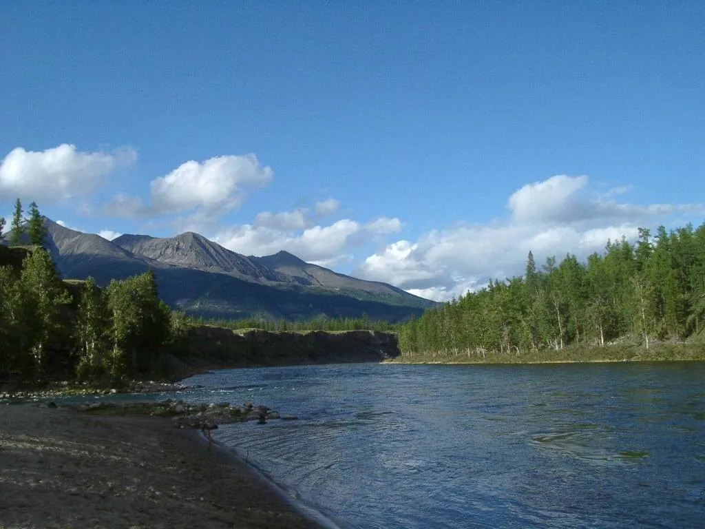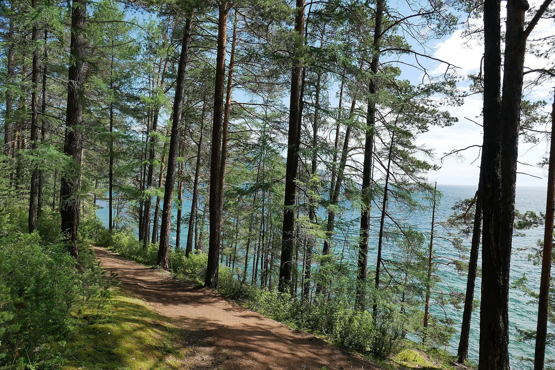



BaikalSOS: Irkutsk to Turka via Olkhon, Ayaya and the Ushkany Islands: boat in Republic of Buryatia
TrailTrack route Boat Republic of Buryatia Multi-day
Waiting for the first trip report

BaikalSOS: Irkutsk to Turka via Olkhon, Ayaya and the Ushkany Islands

Distance
1262.6 km
Estimated moving time
12 d 20 h
Elevation gain
—
Difficulty
Hard
Open on map
Download route

Route description

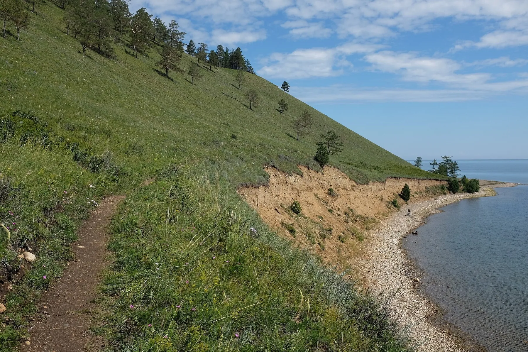
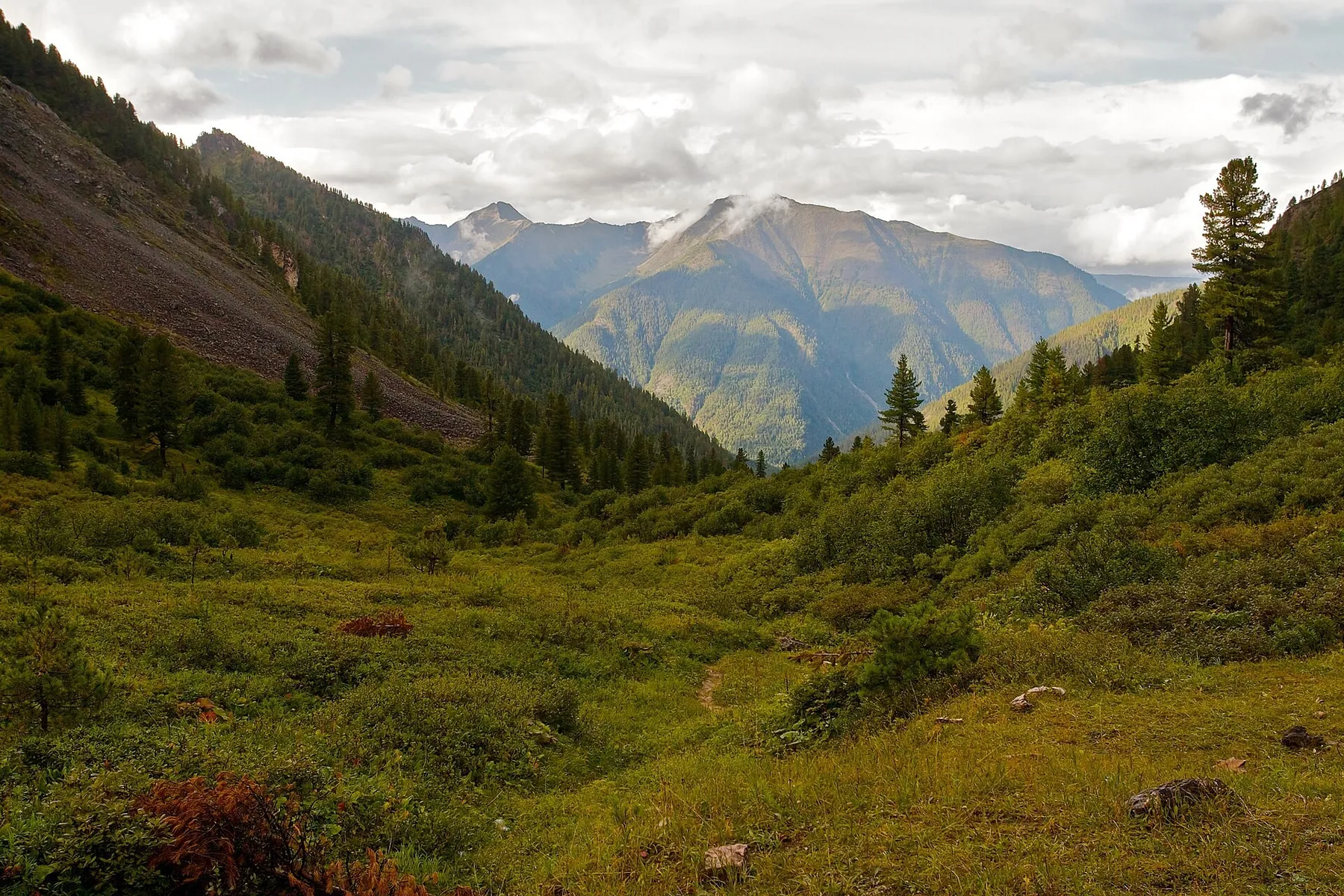
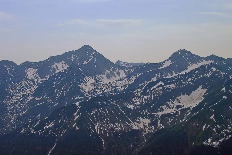
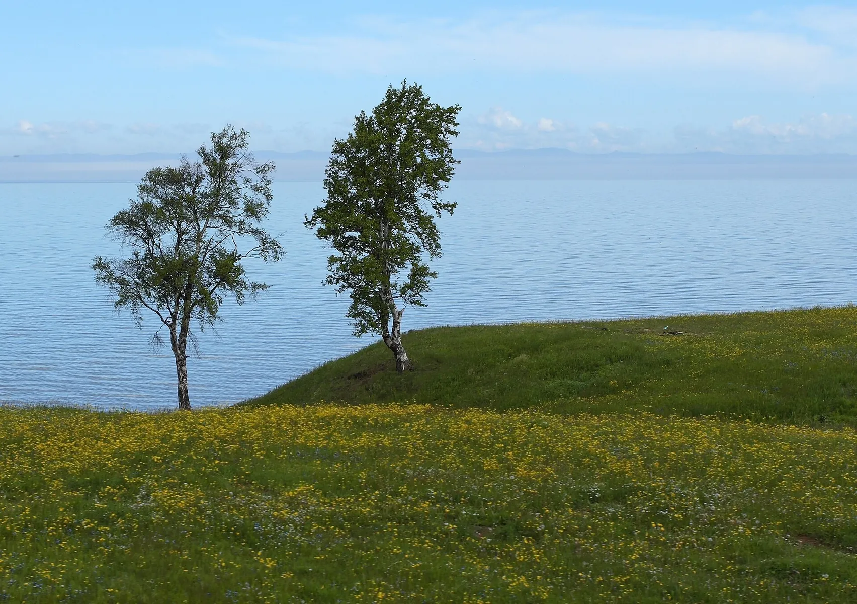
The BaikalSOS 2016 sailing journey begins near Irkutsk and links Lake Baikal’s western shore with northern bays, Olkhon Island and the eastern coast. It calls for a prepared vessel and an experienced crew. From the water, familiar places take on a different character: village approaches near Bolshiye Koty and Bolshoye Goloustnoye give way to Babushka Bay, then the shoreline beside Khuzhir draws attention to Shamanka Rock. Beyond Olkhon, the journey leads towards Cape Ryty, Zavorotnaya and Elokhin before reaching Baikalskoye and Severobaikalsk. Crossing to the other shore brings the crew into Ayaya, a long bay between wooded mountain slopes. Farther south come Cape Kabany, Davsha and Sosnovka, approaches to the Ushkany Islands and the water-facing side of Svyatoy Nos. This version finishes in Turka after Barguzin Bay and Ust-Barguzin. Its appeal lies in seeing these shores together: island rocks, village waterfronts and remote bays become parts of a larger voyage. Landings and visits to protected places require separate admission. The journey preserves the memory of an environmental expedition, while its scenery rewards anyone who observes Baikal carefully from the water and treats its shore with care.

Route status

Проверяем свежесть данных по треку и учитываем сообщения сообщества

Запретов на посещение и пожаров рядом нет

Проверяем спутниковые данные о пожарах и предупреждения по региону.

Следить за маршрутом
Подробнее о состоянии маршрута No recent trail condition reports
Data source Information prepared

The description, logistics and points of interest were prepared using maps and open sources. Trail conditions may change.

Geometry imported from GPX. Trail conditions have not been checked in the field. Difficulty was estimated automatically from distance and elevation gain.

Last updated 14.10.2026

Before travelling, check trail access, restrictions and the weather forecast.

Current conditions No recent trail condition reports

Conditions may have changed. Share a report after completing the route.

Community experience

Recent completions

0

Be the first to confirm a completion and help other travellers.

Elevation profile

gentle climb steep

Before you go

Всё важное о маршруте

Route at a glance

Главное за минуту
To experience Baikal from the water and bring Shamanka Rock, northern Ayaya Bay, protected shores and Svyatoy Nos into one voyage. This is a choice for a prepared boating crew interested in a long journey and changing coastlines. Well-planned shore meetings and permitted stops give the places a connection that a single visit to one bay cannot provide.
Length
1262.6 km
Elevation gain
—
Surface
Нет данных
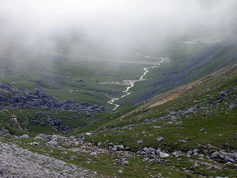
BaikalSOS: Irkutsk to Turka via Olkhon, Ayaya and the Ushkany Islands: route photo 3 in Republic of Buryatia

Route suitability

Кому будет комфортно
Without a car - Hard With children - No With a dog - No data By bike - No With a stroller - No Mobile signal - No data The full version is for an experienced boating crew with a suitable vessel and a prepared skipper. It is unsuitable as an ordinary family outing with children; arrange any shorter family trip separately. Cycling and a stroller cannot serve as means of completing it. Dog admission on board and in each protected area needs individual agreement. Continuous reception across the whole water journey is unconfirmed. Without a private car, vessel delivery, shore support and collection from Turka must be organised in advance.

Nearby

Lake Frolikha and its waterfalls need a separate walk from Ayaya; this water journey does not ascend to them. The Khakusy and Zmeiny hot springs, the summit of Svyatoy Nos and indoor visits at ranger stations are not automatically included. Listvyanka may be considered separately: the vessel passes its side of the lake, while the museum and other land attractions require an independent approach. Baikal-Lena Reserve requires special admission and staff accompaniment; obtain each other protected area’s own permission for passage, stops and overnight stays. Historical scientific observations do not describe present environmental conditions.

Getting there

Варианты и важные моменты Show on map
Without a car
Regular transport directly to the vessel-launching location is unconfirmed. Organise the initial land approach through Irkutsk, then arrange delivery of the crew and equipment to an agreed departure point. Istok Yacht Club was the start of the historical voyage; current visitor admission and club services have not been confirmed. In Turka, arrange landing, dismantling or transport of the vessel and the crew’s onward departure separately. A return journey to Irkutsk is not included in this version.
By car
Plan initial delivery on the Irkutsk side after confirming an operating launch location and vehicle admission. The historical departure at Istok Yacht Club does not establish current unrestricted unloading. Arrange the final meeting separately in Turka. A car cannot follow the entire voyage or provide access to every remote bay; appoint shore support only where a real road approach and vessel reception have been agreed. Allow for weather changes and a different finishing date.
Parking
Parking is unconfirmed. Agree where a car and trailer may be left on the Irkutsk side and where collection is permitted in Turka. A yacht club or shoreline village does not by itself confirm vehicle storage for the entire voyage. Resolve unloading, trailer storage and vessel collection before departure.

Электрички туда и обратно

Расписание на дату и время, до которого нужно выйти на маршрут

What to expect

Places
Kurma Bay A bay on the initial Irkutsk side; any shore stop follows current conditions.
Bolshiye Koty A village approach on the western shore; a visit inside the scientific base is not included.
Sennaya Bay The bay near Bolshiye Koty is approached by water; diving is not a required activity.
Cape Sobolev The cape beside an author-recorded stop; present shelter conditions must be assessed separately.
Cape Kadilny A western-shore cape between Koty and Goloustnoye, with landing agreed separately.
Bolshoye Goloustnoye The village waterfront beyond Kadilny; inland visits require a separate landing.
Babushka Bay A named bay on the western passage; its approach does not guarantee an overnight place.
Radost Bay A bay before the later Olkhon section and a distinct shore stop in this version.
Shamanka Rock The shoreline approach near Khuzhir offers a view from permitted waters, without a climb or interior visit.
Kharantsy An Olkhon shore approach beyond Khuzhir, without an island road excursion.
Uzury A separate approach on Olkhon’s eastern shore; no inland ascent is included.
Cape Ryty A Baikal-Lena Reserve shoreline landmark, approached only as part of an agreed permissible water passage.
Zavorotnaya Bay A named bay on the remote western shore; accommodation and landing are not automatically confirmed.
Cape Elokhin A cape by the ranger-station side of the northern western passage; landing needs separate agreement.
Bolshaya Kosa Cape A named coastal projection before the onward passage towards Baikalskoye.
Cape Kotelniki A cape on the northern western shore; the water approach does not include a hot-spring visit.
Baikalskoye The village side before the northern bays, encountered on the water approach.
Senogda Bay A bay on the northern western section, distinct from neighbouring Onakachan.
Onakachan Bay A separate northern-shore approach before Severobaikalsk.
Severobaikalsk Waterfront The urban waterfront before the crossing to Ayaya; the museum and railway station are not part of the voyage.
Ayaya Bay A long bay between wooded mountain slopes with a sandy shore; the Frolikha walk remains separate.
Cape Kabany A named eastern-shore cape approached on the southward passage beyond Ayaya.
Davsha Bay The shore near Barguzin Reserve’s field base; an excursion and landing require their own agreement.
Sosnovka Bay The next named bay on the protected eastern shore, without a promise of unrestricted camping.
Bolshoy Ushkany Island The island side of the archipelago on a separately permitted approach; historical proximity does not authorise a repeat circuit.
Tonky Island An Ushkany island; seal observation and landing require a permissible arrangement with a park representative.
Krugly Island Another island on the historical water section, subject to current seal-haul-out restrictions.
Svyatoy Nos from the Water The peninsula on the shoreline passage: a view of its mountainous side without an included ascent.
Barguzin Bay The bay beyond Svyatoy Nos before Ust-Barguzin, with any permitted stop arranged separately.
Ust-Barguzin The village approach before continuing along the eastern side.
Cape Krestovy A named shore landmark between the Barguzin section and the final passage to Turka.
Turka Waterfront The finishing waterfront of this version, with unloading and onward departure prepared in advance.

Difficult sections and safety

На что обратить внимание
Elevation gainДанные по набору высоты уточняются.
SurfaceТип покрытия пока не определён.
Риски The main difficulties are headwinds, short steep waves, lengthy water passages and the inability to land wherever convenient. The author described a forced landing near Cape Sobolev and a delay at Cape Kadilny; these cannot be treated as guaranteed shelters. The skipper must assess shallows and shore approaches in current conditions. Close historical circuits near the Ushkany Islands do not establish a permitted route today. Park rules restrict vessel movement and mooring, including near seal haul-outs. Obtain a separately agreed lawful passage first; without admission, omit that stage or end the journey earlier at a confirmed location. An uninterrupted contemporary repeat of the entire expedition is unconfirmed. Do not approach wildlife for photographs or make unauthorised landings on protected shores.

How much time to allow

Оцените свой темп
Расчётное время в пути 12 d 20 h
С запасом на остановки + 30–60 мин
The exact duration of a new attempt at this full multi-day version and a current day-by-day plan are unknown. The historical summer voyage involved long stops, scientific work and weather delays; its calendar cannot replace a new crew’s plan. Arrange the Irkutsk departure, western coast and Olkhon, northern crossing to Ayaya, eastern shore, permitted island section and Turka finish as separate stages. Each needs confirmed stopping places, supplies, reserve days and an earlier finishing option. The expedition’s dives are not mandatory activities in the voyage.

Best time to go

Сезонность и рекомендации
The journey requires open water during the currently permitted navigation season. The expedition sailed in July and August; this demonstrates a summer voyage rather than dependable conditions on every date. Departures depend on the forecast and the vessel’s operating limits. As of 14 October 2026, independent visits to Zabaykalsky National Park are restricted: groups must be accompanied by state inspectors, apply at least three days ahead and pay for accompaniment. Recreational camps in the park are closed, and the Monakhovo small-vessel base has stopped receiving visitors for winter. These notices do not establish identical rules for Ayaya or the entire Barguzin Reserve; check each territory separately.

What to bring

Базовый список для комфортного похода
Select a vessel, lifejackets and onboard equipment suitable for Baikal with the responsible skipper.
Communications and signalling equipment, current navigation materials and waterproofed documents.
Drinking water, food and fuel for the agreed plan, first-aid supplies and repair equipment.
Waterproof outerwear, warm clothing and footwear for permitted landings.
Pack a change of clothes so it stays dry after bad weather.
Diving equipment, preparation and permission belong to a separate activity programme rather than ordinary completion of this voyage.

FAQ

Questions before the trip

Can I do this route without a car?

Regular transport directly to the vessel-launching location is unconfirmed. Organise the initial land approach through Irkutsk, then arrange delivery of the crew and equipment to an agreed departure point. Istok Yacht Club was the start of the historical voyage; current visitor admission and club services have not been confirmed. In Turka, arrange landing.

Is this route suitable for children?

Do not treat this as a basic child-friendly route: check difficulty, length, and trail conditions before going.

Can I download GPX and KML?

Yes, GPX and KML are available on the route page. Open the map, download the file, and use it in a navigator before your trip; key route facts: 1262.6 km, hard.

Discussion

Comments 0

Log in to read the discussion and leave comments.

Ask about the route or its surface, or share your experience.