

Artala: from Tengizbay into the Chong-Kochkorchu Valley
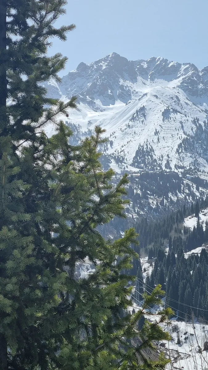
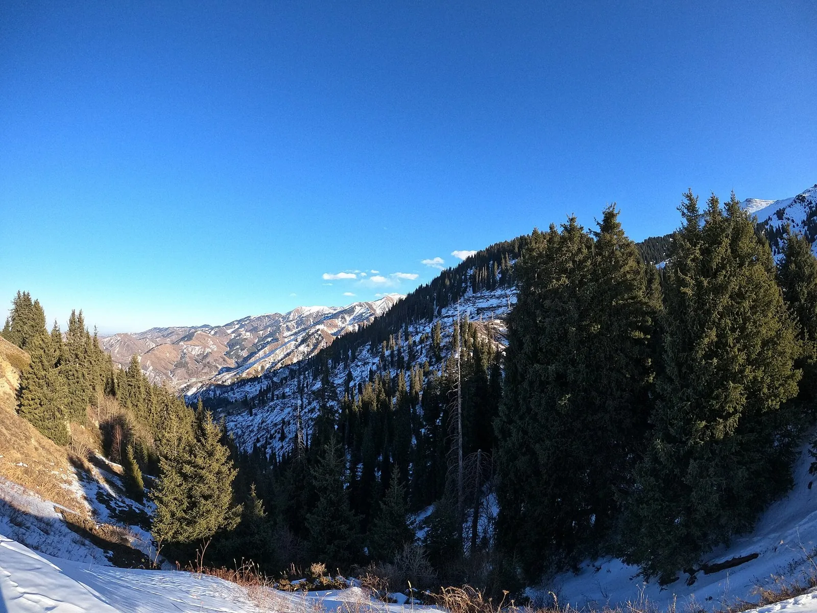
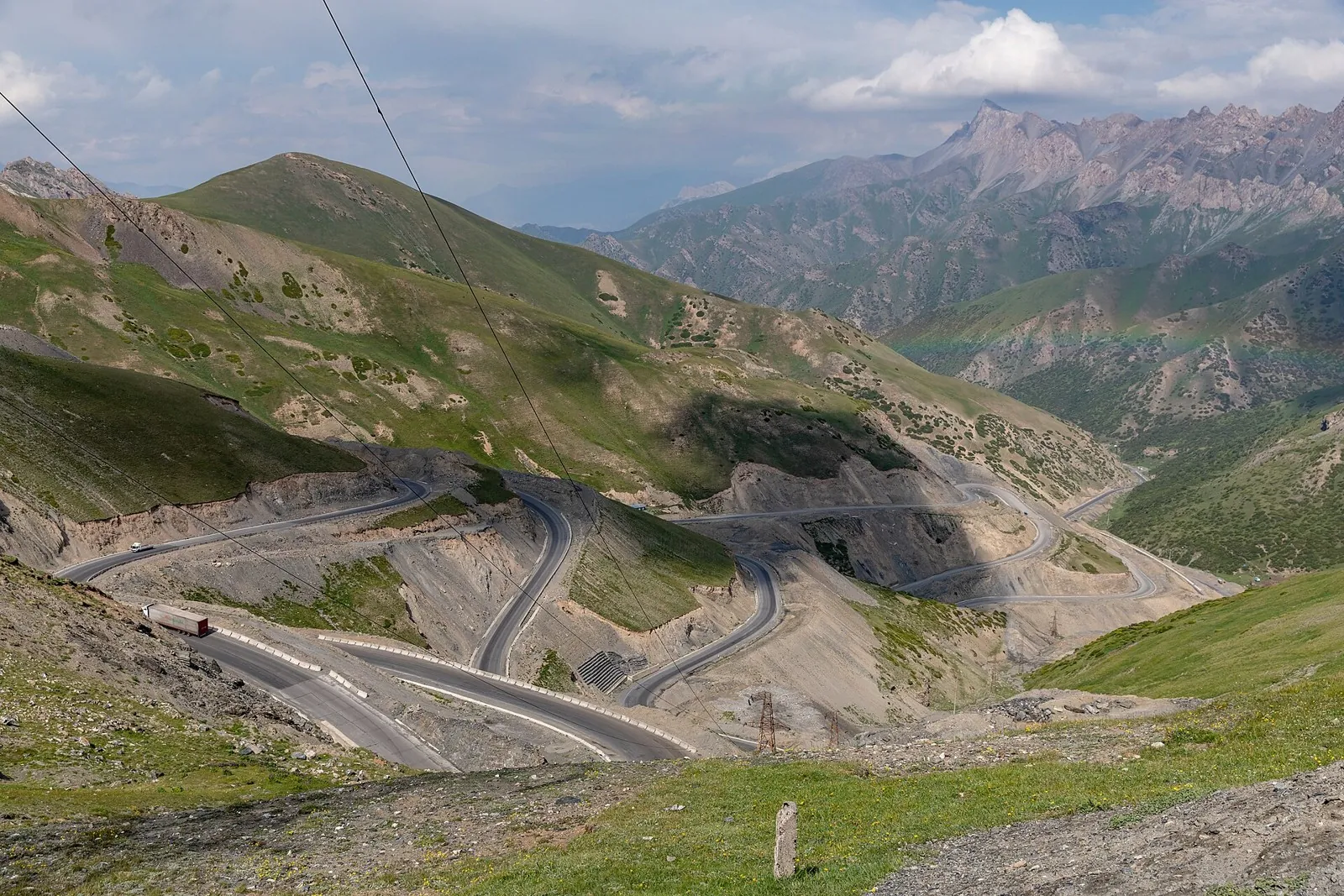
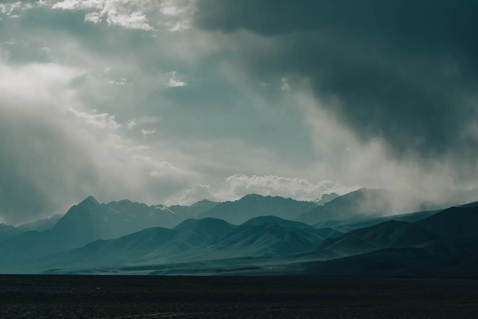
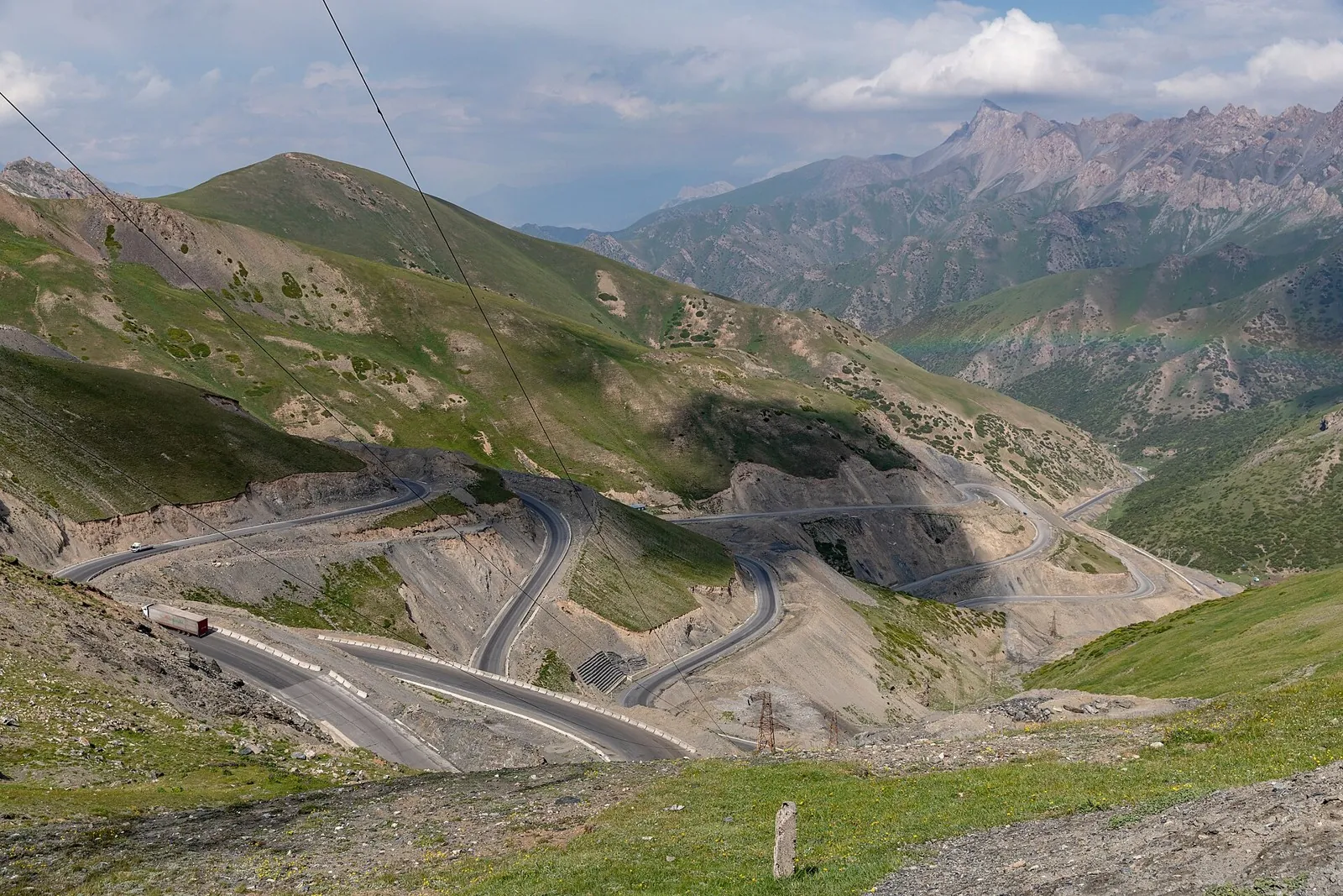
To cross Artala from the Tengizbay into Chong-Kochkorchu. Beyond the divide, the descent reveals the southern gorge and t…

Route catalog
Passes, summits, rocks and routes with noticeable elevation gain.
Найдём подходящие маршруты по вашим интересам, локации и условиям
Подборка TrailTrack
This collection brings together TrailTrack routes connected with Mountain routes. Use it when you want to compare routes by distance, difficulty, region, route type and access before opening a detailed route page.
Each route card includes a map, key metrics, description and GPX/KML. Check weather, season and logistics before heading out.
Found 624 routes
Curated: 624 · Community tracks: 0
To cross Artala from the Tengizbay into Chong-Kochkorchu. Beyond the divide, the descent reveals the southern gorge and t…
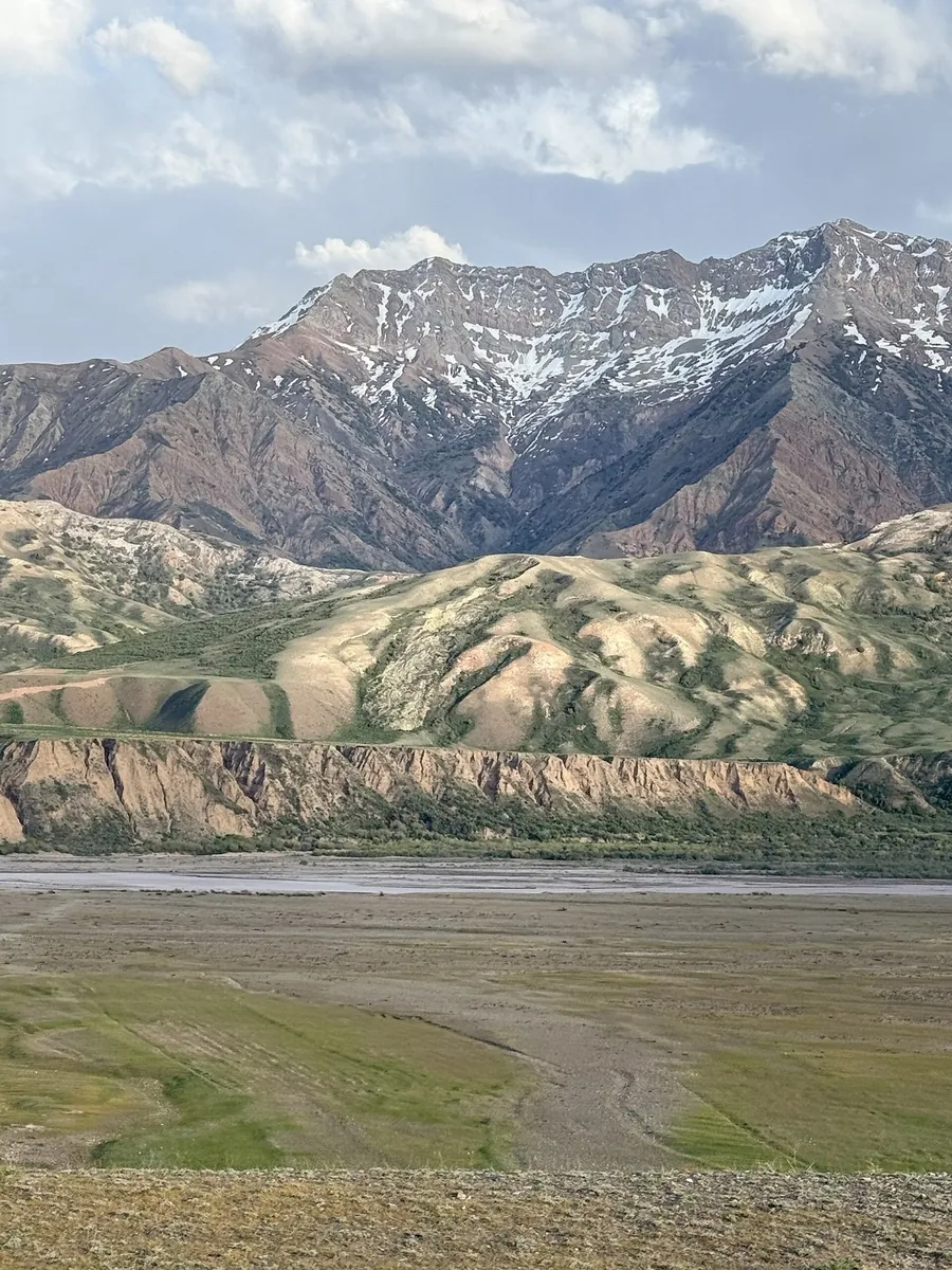
Approach Saimaluu-Tash through the Kök-Art valley, visit Jürö-Köl and continue across the Fergana Range. The ancient imag…
This point-to-point route is about 9.7 km long. Use Leshoz to locate the starting area. Use Leshoz as the starting refer…
The route covers about 12.3 km as a multi-part hiking route, with Кызыл-Суу as the most useful starting reference. The r…
This multi-part route is about 19.2 km long. Use Besqaynar to locate the starting area. The route contains 5 separate pa…
This is a point-to-point hiking route of about 8.3 km. The clearest starting reference is Üch-Chat. Use Üch-Chat as the …
Connect the Naryn River with the Kök-Art and the Kazarman side of the mountains. Village roads gradually give way to a ri…
This point-to-point route is about 5.3 km long. Use Kokshoky to locate the starting area. Use Kokshoky as the starting r…
The route covers about 5.6 km as a multi-part hiking route, with Besqaynar as the most useful starting reference. The ro…
Expect roughly 5.9 km of high-mountain travel. The format is point-to-point, and Канджыга is the starting reference. Use…
This is a point-to-point hiking route of about 8.5 km. The clearest starting reference is Чалкойдо. Use Чалкойдо as the …
Expect roughly 3.0 km of high-mountain travel. The format is point-to-point, and Chal-Kuyruk is the starting reference. …
Expect roughly 11.5 km of high-mountain travel. The format is point-to-point, and Chal-Kuyruk is the starting reference. …
Connect Buyga with Josholu and Gulcho’s eastern side through an independent mountain crossing. Discover the change in riv…
This multi-part route is about 11.8 km long. Use Üch-Chat to locate the starting area. The route contains 2 separate par…
Expect roughly 7.0 km of high-mountain travel. The format is point-to-point, and Chal-Kuyruk is the starting reference. …
This is a point-to-point hiking route of about 9.9 km. The clearest starting reference is Ара-Кол. Use Ара-Кол as the st…
Plan this 3.17 km circular walking route from its verified distance, gradients and recorded surface rather than unconfirm…
Expect roughly 32.0 km of high-mountain travel. The format is multi-part, and Jiptik is the starting reference. The rout…
The route covers about 11.4 km as a point-to-point hiking route, with Канджыга as the most useful starting reference. Us…
The route covers about 29.1 km as a point-to-point hiking route, with Ара-Кол as the most useful starting reference. Use…
Expect roughly 22.3 km of lowland or foothill travel. The format is point-to-point, and Ара-Кол is the starting reference…
Expect roughly 6.9 km of high-mountain travel. The format is point-to-point, and Jiptik is the starting reference. Use J…
Expect roughly 3.2 km of high-mountain travel. The format is point-to-point, and Канджыга is the starting reference. Use…
Pick where to start
Share a trip