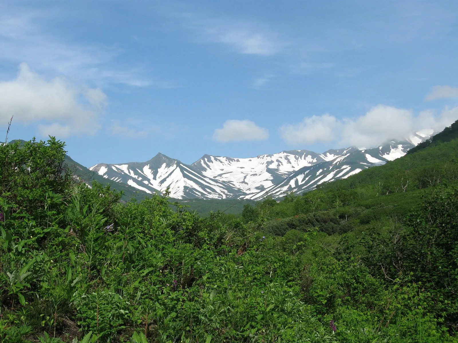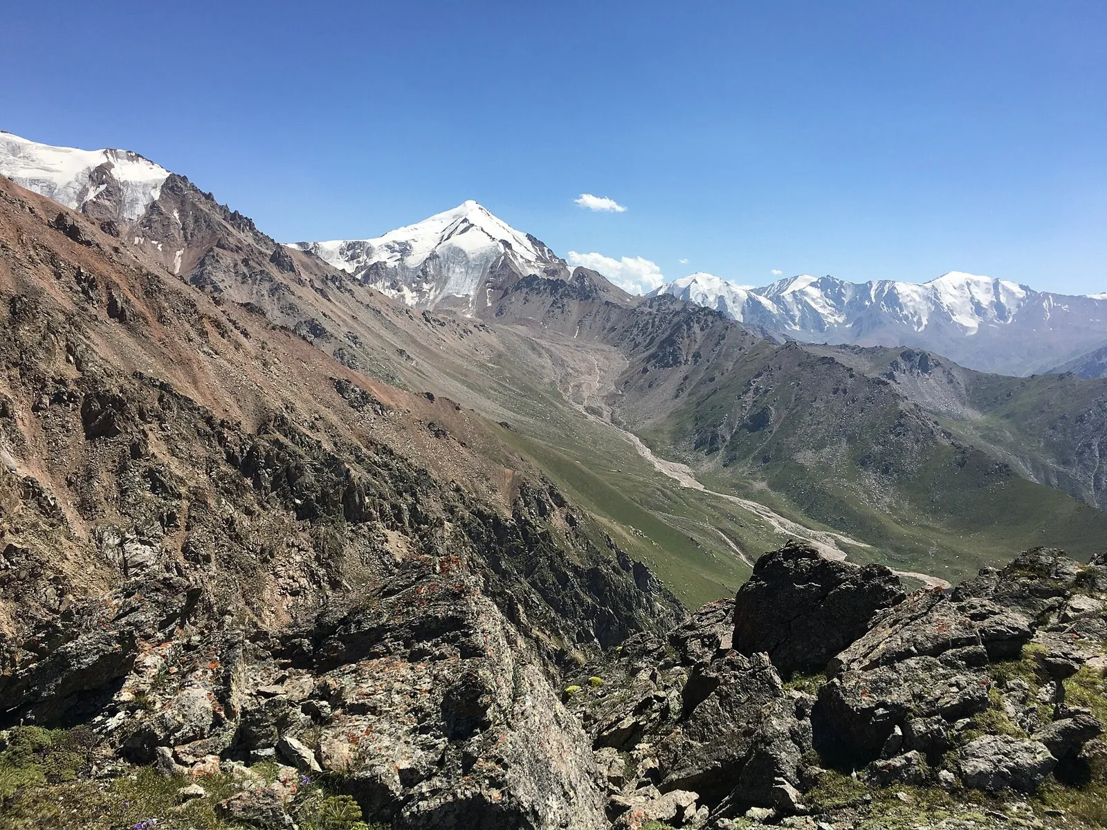


Koltsevoy marshrut: pereval Terisbutak - pik Arel - pereval Maryasheva - pik Tereshkovoy - pereval Tereshkovoy
The route covers about 9.4 km as a point-to-point hiking route, with Kokshoky as the most useful starting reference. Use…

Route catalog
Passes, summits, rocks and routes with noticeable elevation gain.
Найдём подходящие маршруты по вашим интересам, локации и условиям
Подборка TrailTrack
This collection brings together TrailTrack routes connected with Mountain routes. Use it when you want to compare routes by distance, difficulty, region, route type and access before opening a detailed route page.
Each route card includes a map, key metrics, description and GPX/KML. Check weather, season and logistics before heading out.
Found 624 routes
Curated: 624 · Community tracks: 0
The route covers about 9.4 km as a point-to-point hiking route, with Kokshoky as the most useful starting reference. Use…
Approach Kyzyl-Oi from the mountains and pause at Colors of Nature before reaching the lower valley. The Kokomeren-side s…
Cross Kyrgyzstan between Bishkek and Alay, combining real pass stops with self-supported valley days. Koy-Jolu is a defin…
Walk from the Tar into the Buyga valley and discover the settled side of the Kara-Kulja mountains. Two named watercourses…
Cross from Ak-Kol towards the Naryn valley over Kok-Aryk and experience both sides of the mountains: a lakeshore departur…
Expect roughly 7.2 km of high-mountain travel. The format is point-to-point, and Kokshoky is the starting reference. Use…
Once access is confirmed, explore the winter saddle of Koryaksky Pass, Shumnaya’s river side and named Aag Narzans. The s…
To cross Torpo and Kum-Bel in sequence and understand the valleys on both sides of Kichik-Alay. The two passes give this …
Link upper Djukuchak with Ashu-Kashka-Suu on foot across the spur, then choose an onward route through a different valley…
To visit both Sairamsu lakes and follow their glacier-fed water down the gorge. Beginning at the Upper Lake gives this ve…
Plan this 16.57 km circular walking route from its verified distance, gradients and recorded surface rather than unconfir…
This is a point-to-point hiking route of about 45.4 km. The clearest starting reference is Буйражар. Use Буйражар as the…
Expect roughly 17.3 km of lowland or foothill travel. The format is multi-part, and Kok Tobe is the starting reference. …
The route covers about 9.9 km as a multi-part cycling route, with Kok Tobe as the most useful starting reference. The ro…
This is a multi-part hiking route of about 30.3 km. The clearest starting reference is Gülchö. The route contains 2 sepa…
This is a point-to-point hiking route of about 5.1 km. The clearest starting reference is Jiptik. Use Jiptik as the star…
Cross Atala-Tektyu and reach Terek-Suu beside the Tar River. The journey links mountain sides with a recognisable village…
The route covers about 27.1 km as a point-to-point hiking route, with Чалкойдо as the most useful starting reference. Us…
This is a multi-part hiking route of about 17.6 km. The clearest starting reference is Sary-Oy Kongurat Jayloo. The rout…
The route covers about 42.8 km as a multi-part hiking route, with the nearest landmark as the most useful starting refere…
Walk from Pinachevo through named woodland ranger-post places to Pinachevsky Pass, then descend towards Nalychevo. The pa…
After access is confirmed, this return from Rosa Khutor’s eastern side becomes a walk in its own right. Krasivy Pass prov…
Follow the Kök-Art from the Kazarman side towards the upper Fergana approaches. Get to know the river corridor before tac…
Pick where to start
Share a trip