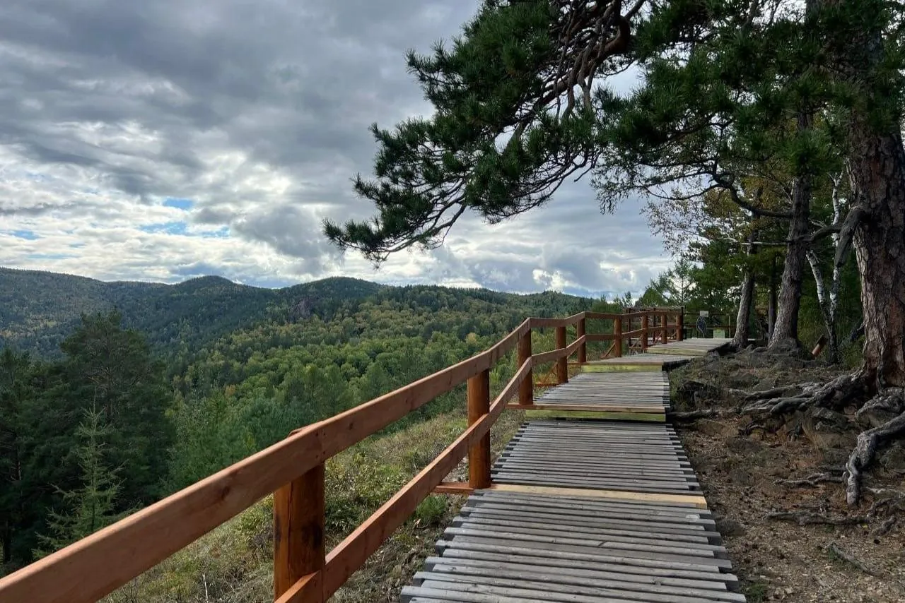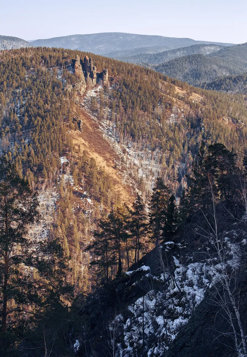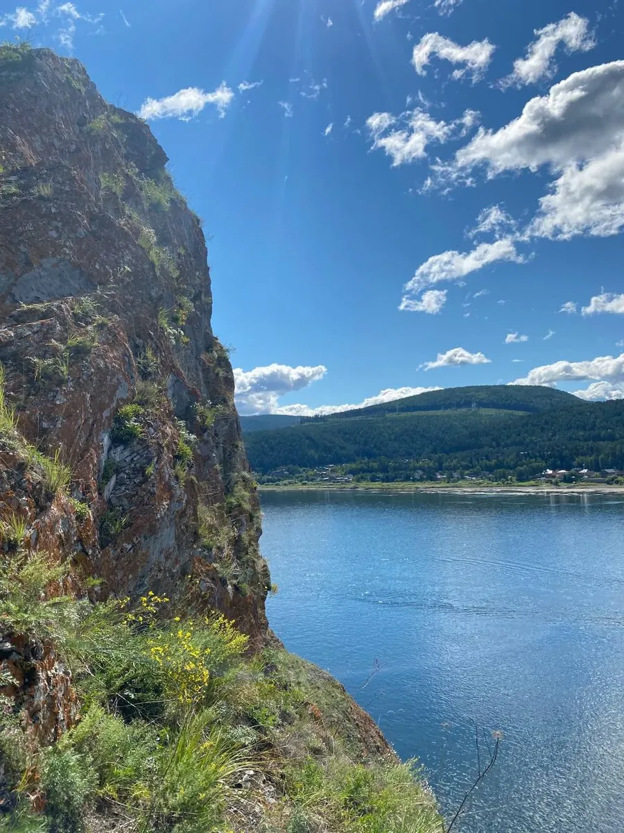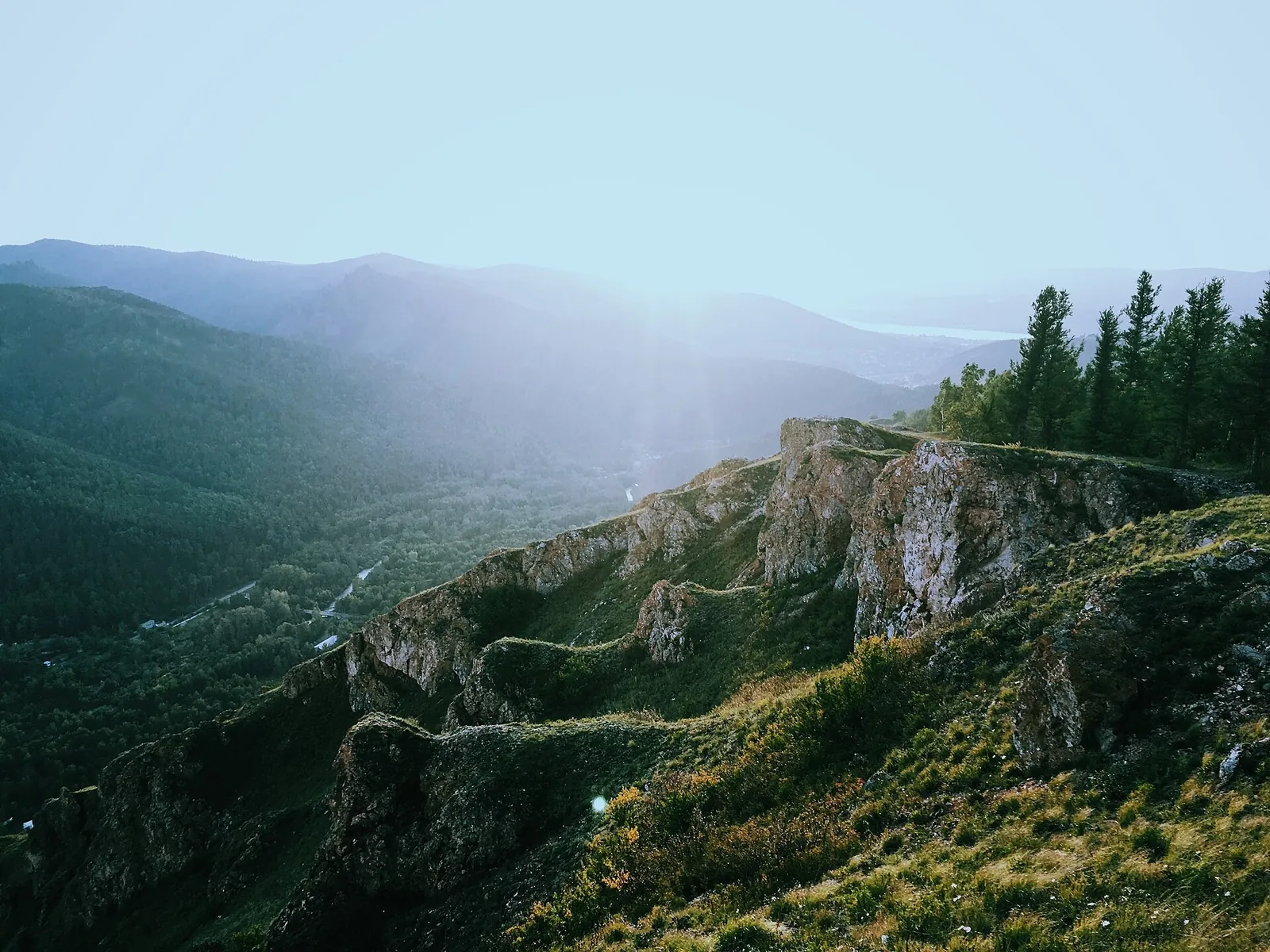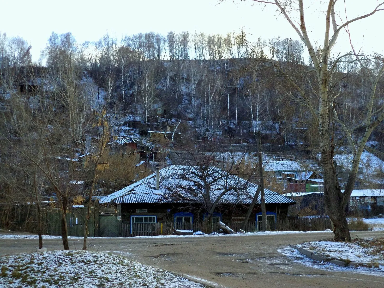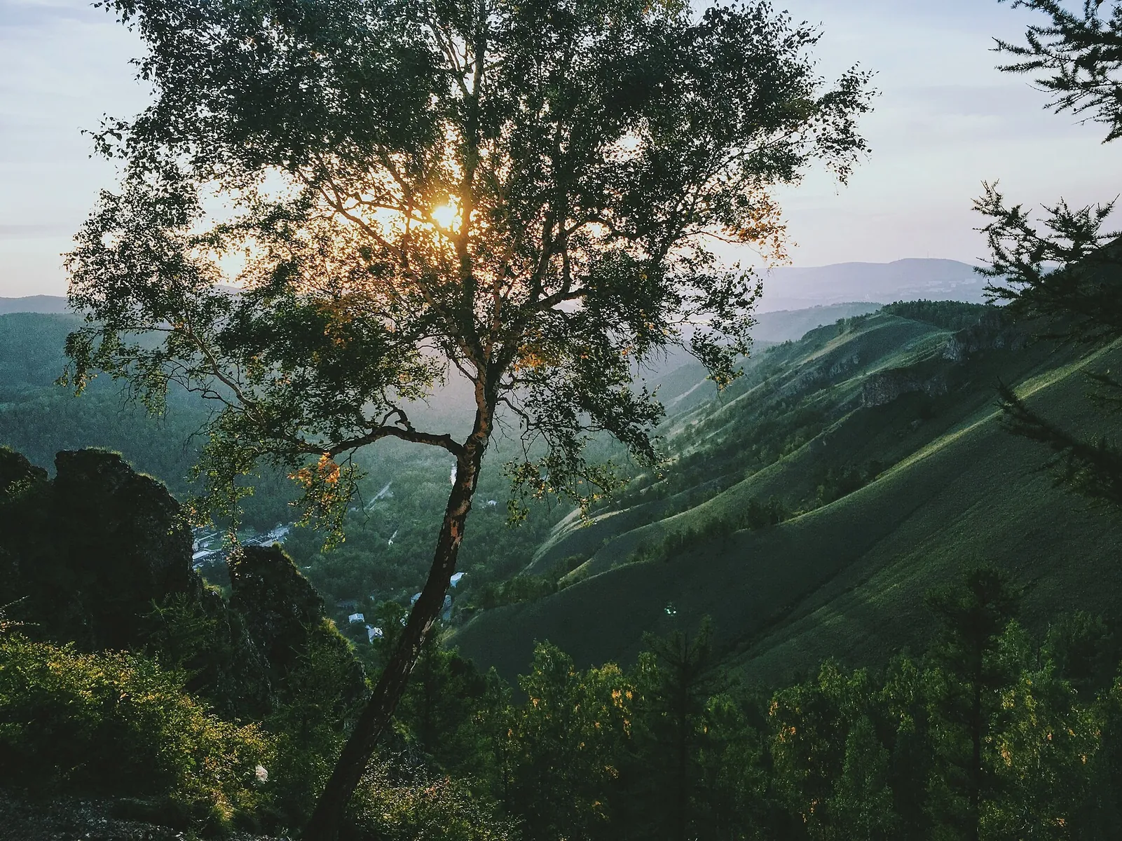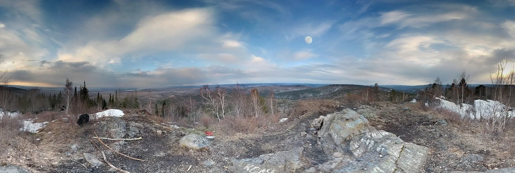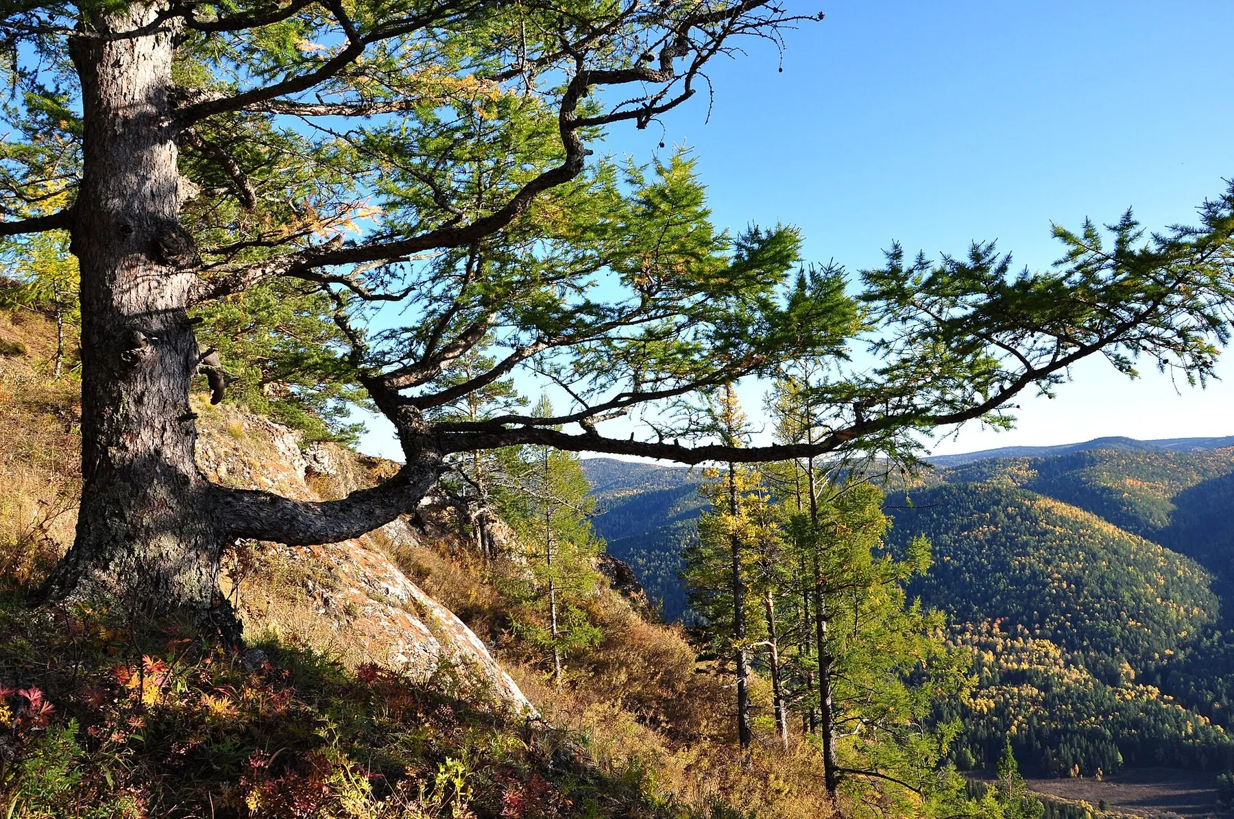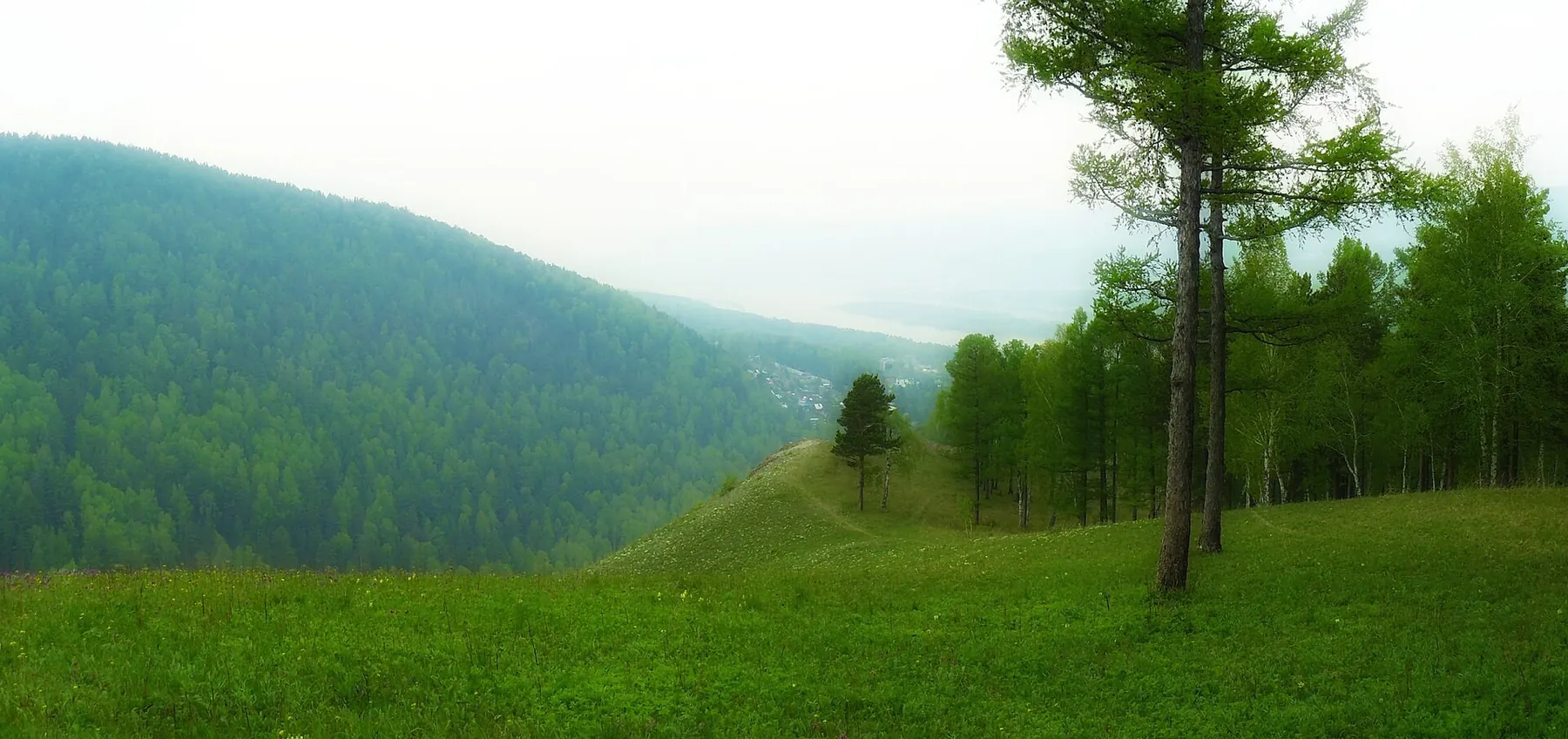
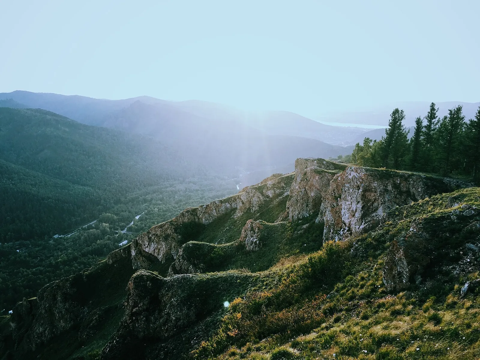


Little Golden Eagle from the Eastern Entrance — Red Trail in the Takmak District
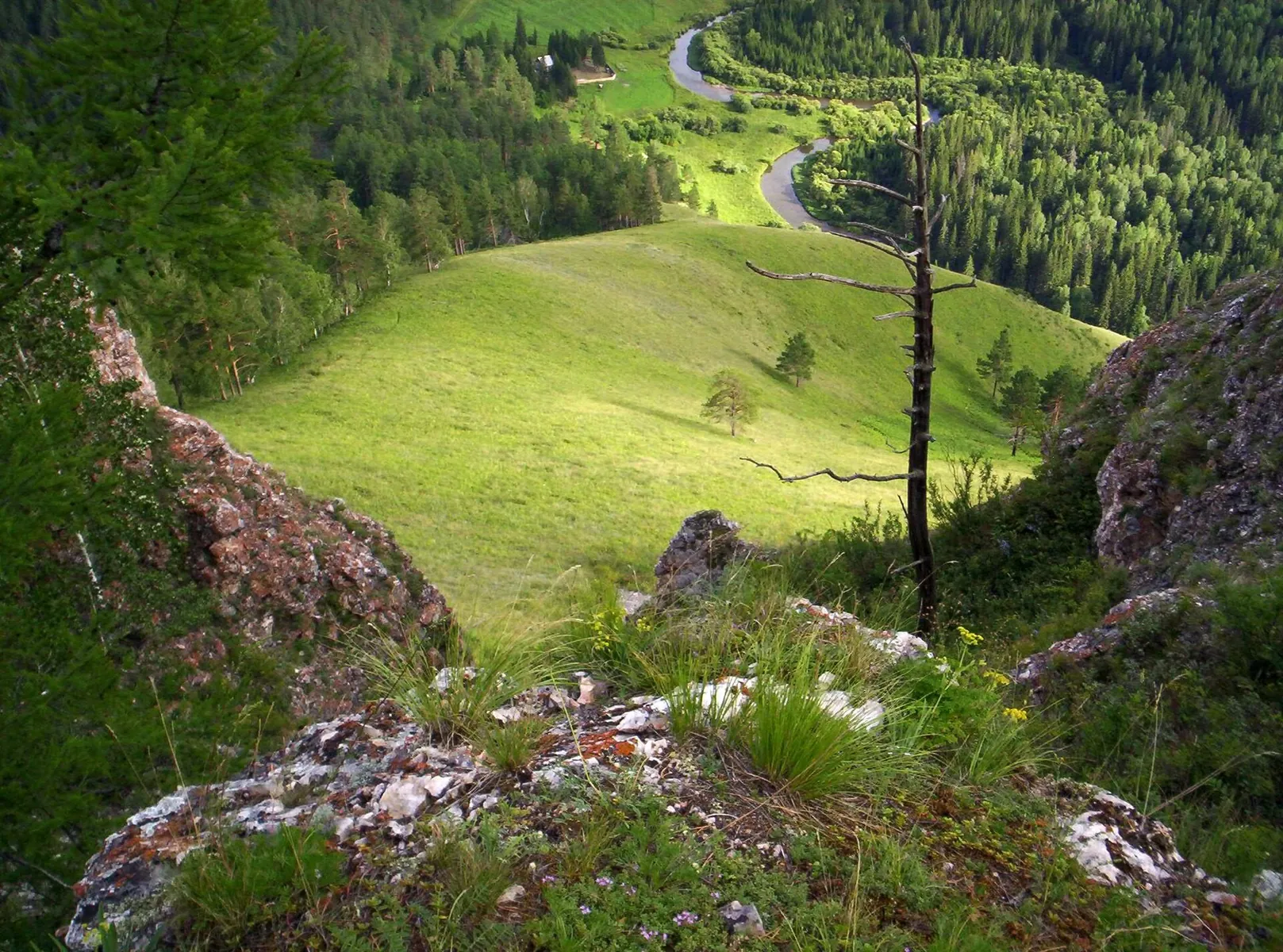
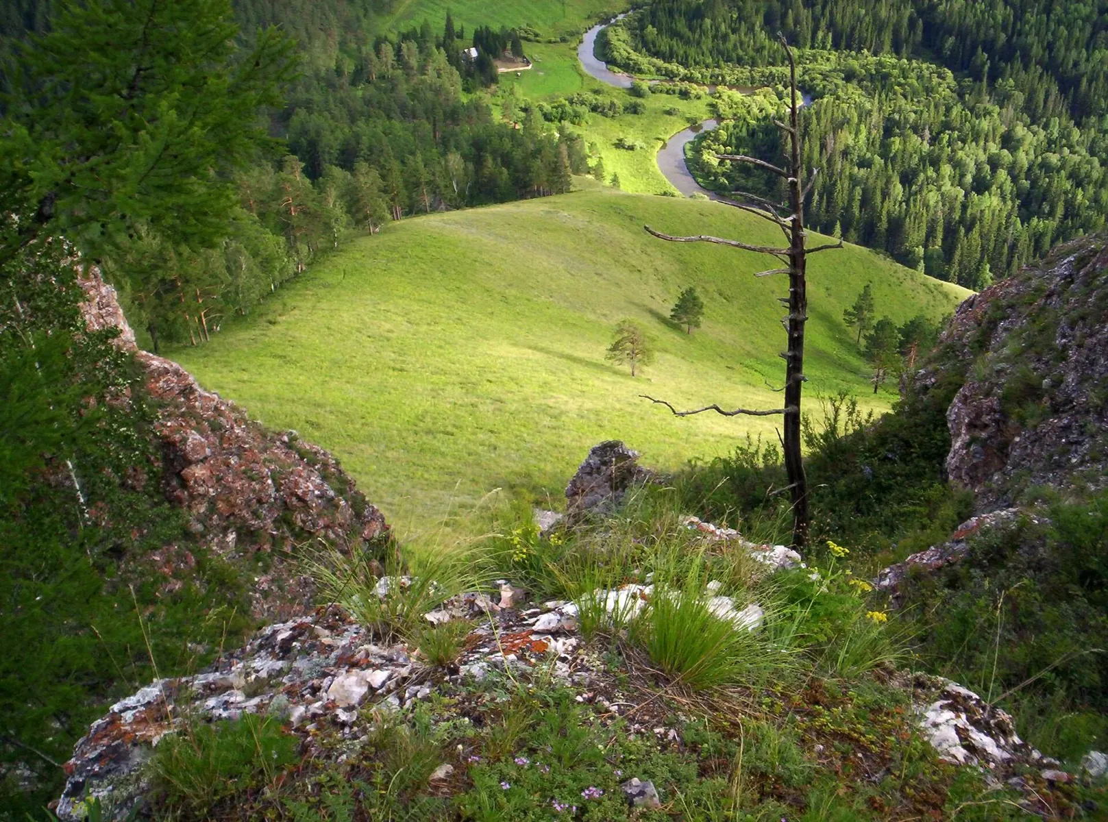
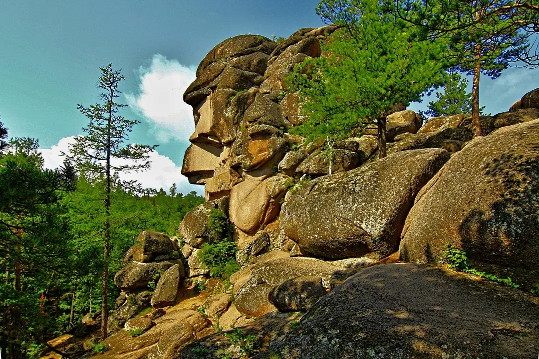
For Little Golden Eagle's striking outline and another side of the Takmak district. Postpone the hike: the Eastern Entran…

Регион TrailTrack
Routes in Krasnoyarsk Krai: maps, route details, difficulty, photos and GPX/KML downloads for planning your trip.
Подборка
For Little Golden Eagle's striking outline and another side of the Takmak district. Postpone the hike: the Eastern Entran…
Its interest is the Kashtak approach and two named viewpoints. The traverse is closed; the short Nature and Climate trail…
Elephant Rock, First Pillar, Grandfather, Feathers and Lion’s Gate introduce the Central Pillars’ best-known forms. Visit…
See the shape of Takmak at close quarters and understand its place in Krasnoyarsk's skyline. Do not plan the Blue Trail n…
Its draw is Manskaya Baba's silhouette and the Cain and Abel rocks. This approach is currently closed; choose the authori…
Choose it for China Wall's distinctive shape and the Takmak district. Postpone the walk for now: the Eastern Entrance is …
This 23.3 km point-to-point walking route is shaped by its terrain, surface and pace rather than a single landmark. Notic…
The interest of this 6.01 km point-to-point walking route lies in travelling the distance itself: its gradients, surface …
Expect shore or waterside sections are recorded on the route on this 2.9 km point-to-point walking route. Noticeable clim…
The recorded line is a 3.6 km point-to-point walking route, with mapped viewpoints occur along the way. Noticeable climbi…
Expect shore or waterside sections are recorded on the route on this 1.08 km point-to-point walking route. Gentle terrain…
This is a 0.86 km point-to-point walking route with a complete recorded line to follow from start to finish. Strong mount…
This is a 3.12 km point-to-point walking route with a complete recorded line to follow from start to finish. Strong mount…
The recorded line is a 16.11 km circular walking route, with mapped viewpoints occur along the way. Noticeable climbing: …
Expect shore or waterside sections are recorded on the route on this 4.45 km circular walking route. Strong mountain reli…
This is a 2.57 km point-to-point walking route with a complete recorded line to follow from start to finish. Gentle terra…
This is a 6.97 km circular walking route with a complete recorded line to follow from start to finish. Strong mountain re…
The recorded line is a 4.98 km point-to-point walking route, with shore or waterside sections are recorded on the route. …
This 396.3 km point-to-point water route passes through terrain where mapped viewpoints occur along the way. Noticeable c…
This 7.69 km point-to-point walking route is shaped by its terrain, surface and pace rather than a single landmark. Stron…
This 0.6 km point-to-point walking route is shaped by its terrain, surface and pace rather than a single landmark. Notice…
Treat this 3.06 km point-to-point walking route as a complete outing, paying attention to the terrain and changing surfac…
This 1.67 km point-to-point walking route is shaped by its terrain, surface and pace rather than a single landmark. Rolli…
Материалы
Pick where to start
Share a trip