TrailTrack routes

Маршруты с подготовленным описанием, сложностью, покрытием и планированием визита.

Found 1895 routes
Choose a route from the list or view routes on the map.
Talgar and Butakovsky Passes: A Composite Mountain Line
✓ TrailTrack

Talgar and Butakovsky Passes: A Composite Mountain Line

Hiking · One-day

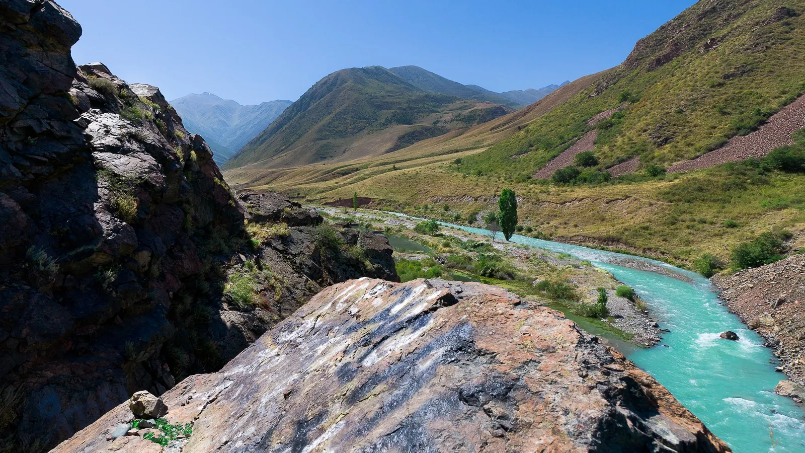
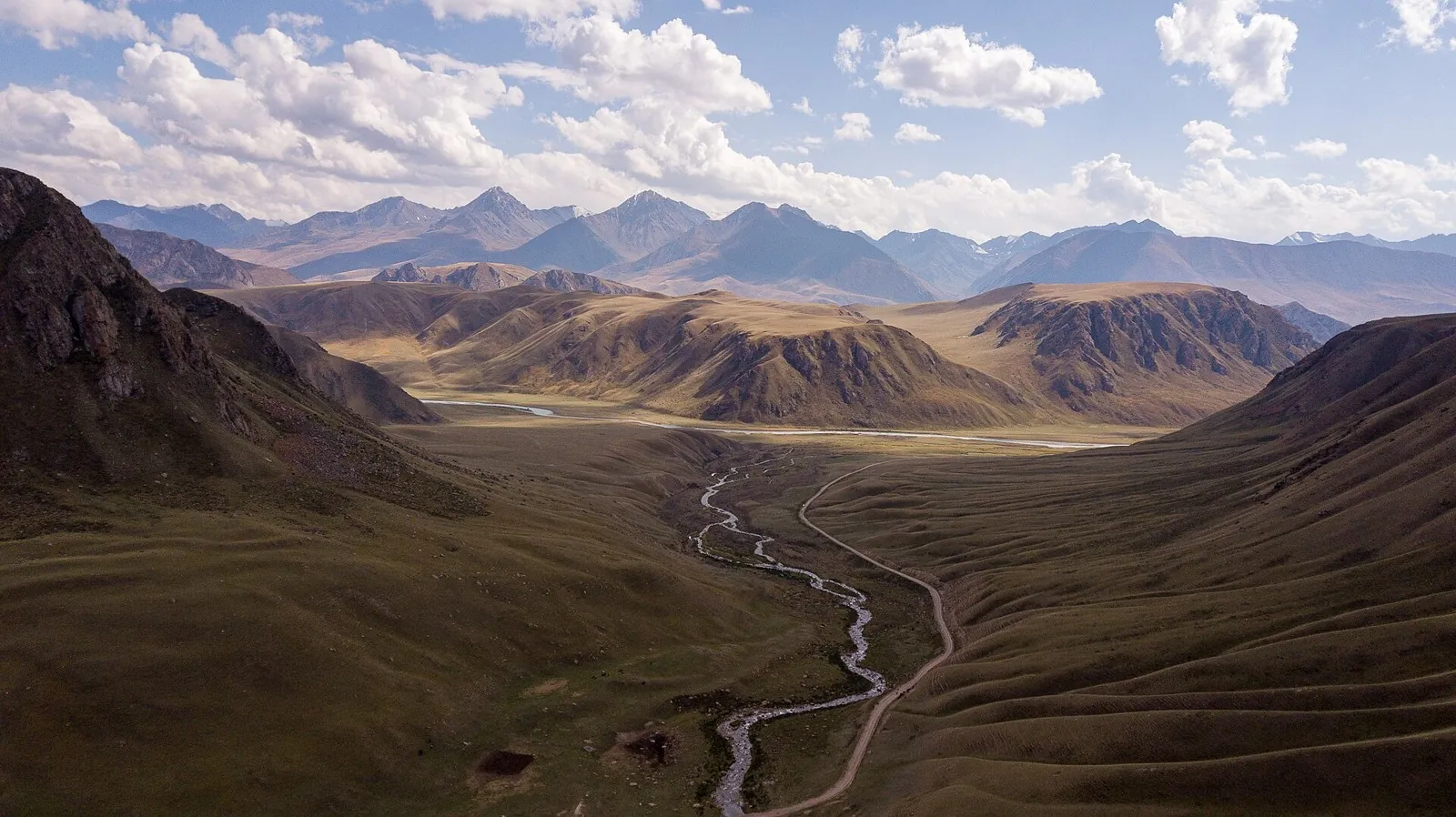
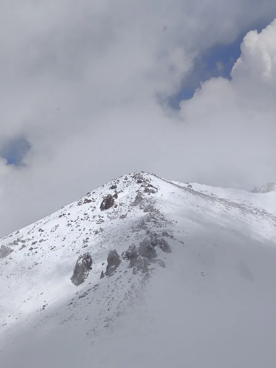
Follow the actual Talgar, Small Talgar and Butakovsky pass connection through the specific Left Talgar Valley. This differs from the four-summit traverse and requires independent preparation of the complete access plan.

26.5 km 91 +2065 m Moderate
End-of-Season Ride to the Springs: On paved roads
✓ TrailTrack

End-of-Season Ride to the Springs: On paved roads

КП1. Помнік Ахвярам Гэбісцкага Скоцтва 30-х гг. · Bicycle · Multi-day

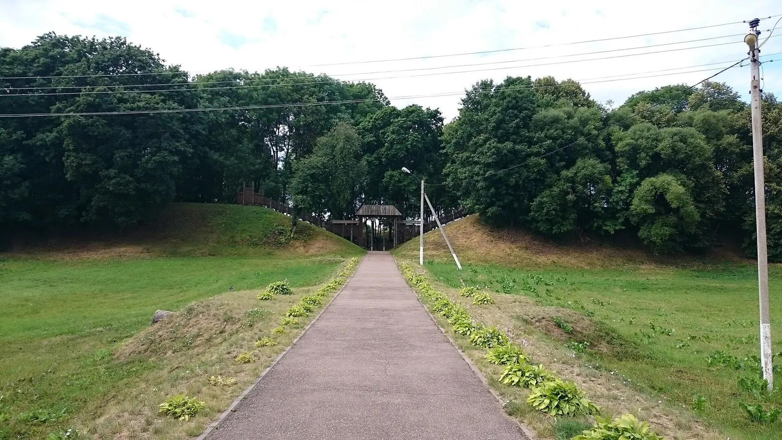
Shore or waterside sections are recorded on the route along this 400.23 km point-to-point cycling route. Gentle terrain: 83 m of total ascent over 400.23 km. Surface: asphalt. Allow at least 6 days and verify overnight and exit options independently.

400.2 km 91 +83 m Hard
Duleby Forest Cycling Loop
✓ TrailTrack

Duleby Forest Cycling Loop

Bicycle · One-day

This 69.41 km point-to-point cycling route passes through terrain where woodland is one of the route's main features. Gentle terrain: 99 m of total ascent over 69.41 km. Surface: natural ground plus compacted ground. Estimated moving time is about 6.4 hours; add time for pauses and navigation.

69.4 km 91 +99 m Hard
Neman: An Easy Route to Adventure
✓ TrailTrack

Neman: An Easy Route to Adventure

Музей Я. Коласа. Ф1 · Hiking · Multi-day

Mapped stops at Museum Ya. Kolasa. F1, obzorka add clear points of interest along the way. Near the water: shore or waterside sections are recorded on the route. Gentle terrain: 71 m of total ascent over 41.92 km. Surface: natural ground plus compacted ground.

41.9 km 91 +71 m Hard
Malinovka Scenic End-of-Summer Route
✓ TrailTrack

Malinovka Scenic End-of-Summer Route

Городище · Hiking · Multi-day

This 39.63 km point-to-point walking route passes through terrain where woodland is one of the route's main features. Gentle terrain: 110 m of total ascent over 39.63 km. Surface: asphalt plus natural ground. Allow at least 2 days and verify overnight and exit options independently.

39.6 km 91 +110 m Hard
Pleshchenitsy Circuit: via Smolevichi
✓ TrailTrack

Pleshchenitsy Circuit: via Smolevichi

КП1 Логойск, 57км · Bicycle · Multi-day

This 198.84 km circular cycling route passes through terrain where woodland is one of the route's main features. Gentle terrain: 497 m of total ascent over 198.84 km. Surface: asphalt plus concrete. Allow at least 3 days and verify overnight and exit options independently.

198.8 km 91 +497 m Hard
Green Circuit through Minsk Parks
✓ TrailTrack

Green Circuit through Minsk Parks

тогкая тропочка вдоль берега · Hiking · Multi-day

The main recorded stops are togkaya tropochka vdol berega, making this a route to explore rather than rush through. Forest sections: woodland is one of the route's main features. Gentle terrain: 132 m of total ascent over 80.54 km. Surface: asphalt.

80.5 km 91 +132 m Hard
Belarusian Fleche across the Minsk Region: via Zhirovichi
✓ TrailTrack

Belarusian Fleche across the Minsk Region: via Zhirovichi

КП 2(60) · Hiking · Multi-day

This 383.54 km point-to-point walking route is shaped by its terrain, surface and pace rather than a single landmark. Gentle terrain: 380 m of total ascent over 383.54 km. Allow at least 17 days and verify overnight and exit options independently.

383.5 km 91 +380 m Hard
From Zhirovichi to Slonim’s Churches and Town Hall: a Cycling Journey with Ruzhany
✓ TrailTrack

From Zhirovichi to Slonim’s Churches and Town Hall: a Cycling Journey with Ruzhany

КП0 Старт · Bicycle · Multi-day

See Zhirovichi Monastery, then Slonim’s Immaculate Conception Church, Town Hall, Saint Dominic’s Chapel and Stabrovsky Museum. Ruzhany’s Holy Trinity Church and Sapieha Museum extend the journey beyond one town.

206.3 km 91 +281 m Hard
Around Grodno to the Water: Rybnitsa and the Upper Reservoir
✓ TrailTrack

Around Grodno to the Water: Rybnitsa and the Upper Reservoir

Bicycle · Multi-day

Link the lakeshore near Ozyory, the reservoir near Korobchitsy and Selivanovtsy’s rural architecture in a single journey. These smaller places reveal a side of the Grodno region that is easily missed on a drive.

200.9 km 91 +355 m Hard
Meeting Friends: Scenic variant
✓ TrailTrack

Meeting Friends: Scenic variant

КП 0 Старт Площадь Свободы · Bicycle · Multi-day

Expect shore or waterside sections are recorded on the route on this 400.49 km point-to-point cycling route. Gentle terrain: 232 m of total ascent over 400.49 km. Surface: asphalt. Allow at least 6 days and verify overnight and exit options independently.

400.5 km 91 +232 m Hard
Kamenets to Belovezhskaya Pushcha: The Tower and Forest Passage
✓ TrailTrack

Kamenets to Belovezhskaya Pushcha: The Tower and Forest Passage

Вольеры · Bicycle · One-day

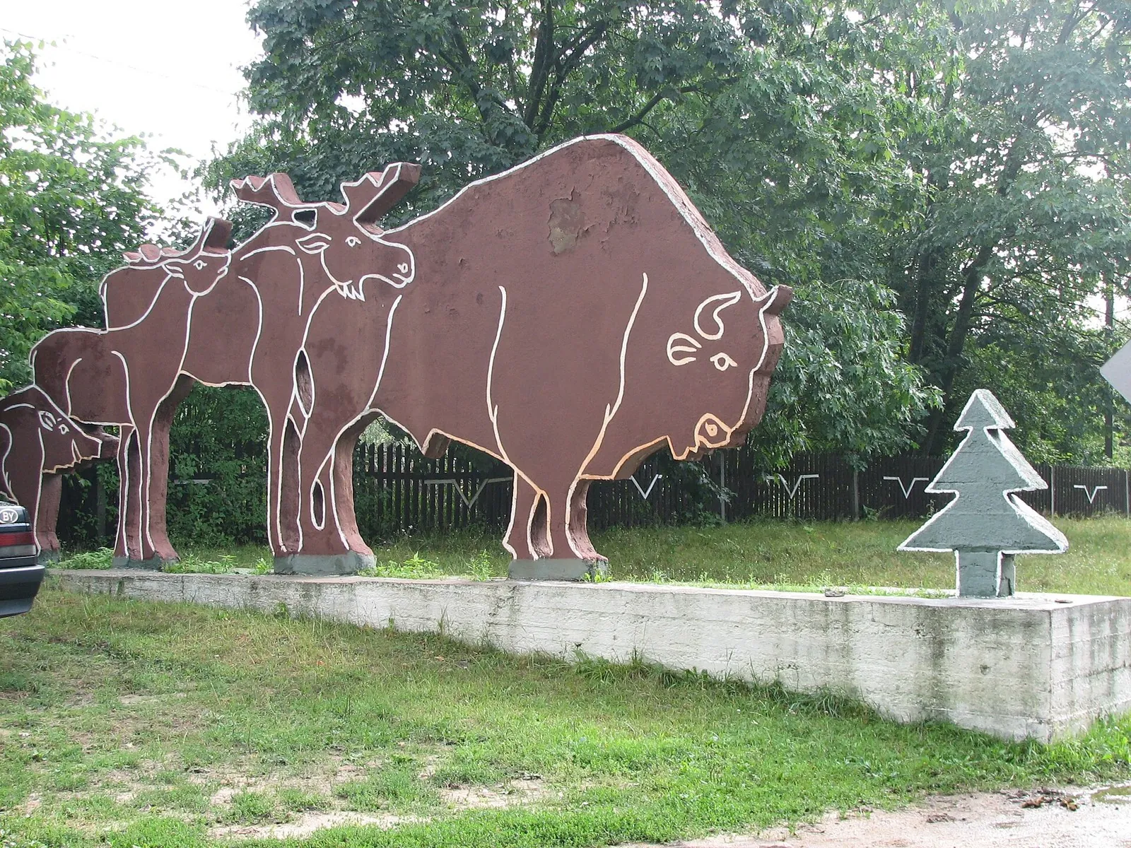
Kamenets Tower and the Hermit Oak offer different reasons to stop: medieval brickwork and a veteran tree that grew beside a meadow. Kamenyuki connects the cultural and forest parts of the journey.

55.5 km 91 +73 m Hard
Riekkalansaari from Rigola: Short Woodland Circuit through Open Ground
✓ TrailTrack

Riekkalansaari from Rigola: Short Woodland Circuit through Open Ground

Run · One-day

Try woodland trail movement on a distinct short Riekkalansaari circuit. Changing paths, open ground and an old forest road introduce the island through the walk itself.

7.2 km 90 +0 m Easy
Kivakka’s western ascent to the Lake Pyaozero view
✓ TrailTrack

Kivakka’s western ascent to the Lake Pyaozero view

Hiking · One-day

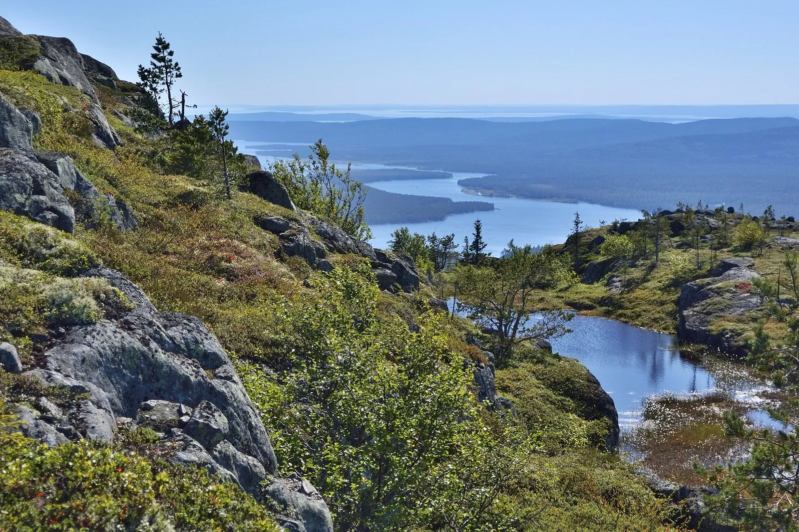
Watch northern forest give way to mountain tundra and emerge above Lake Pyaozero. Kivakka introduces Paanajarvi’s mountain scenery within a properly prepared day.

4.1 km 90 +0 m Easy
Putsaari from Lumivaara: The Extended Circuit and Northern Channels
✓ TrailTrack

Putsaari from Lumivaara: The Extended Circuit and Northern Channels

Маяк · Boat · Multi-day

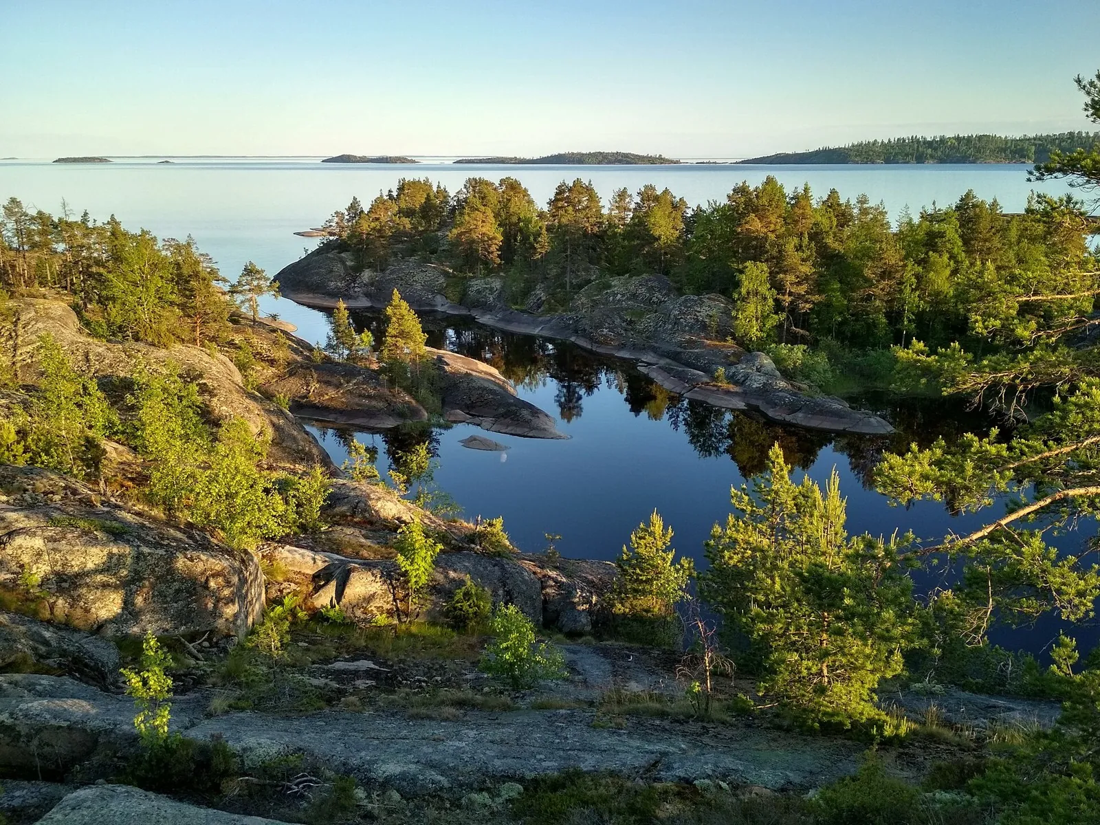
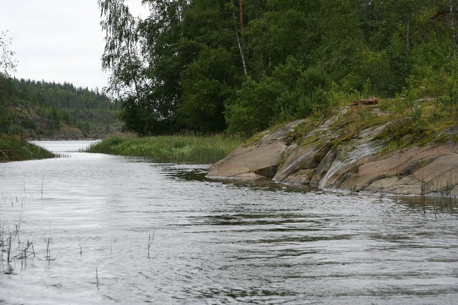
Reach Putsaari and follow its shore from the water, contrasting the distant island with the skerry passages near Heposalonsaari and Sorolansaari. The outing reveals Ladoga’s more expansive northern side.

80.9 km 90 +0 m Hard
Zheleznovodsk to Mount Beshtau
✓ TrailTrack

Zheleznovodsk to Mount Beshtau

Caucasus · Hiking · One-day

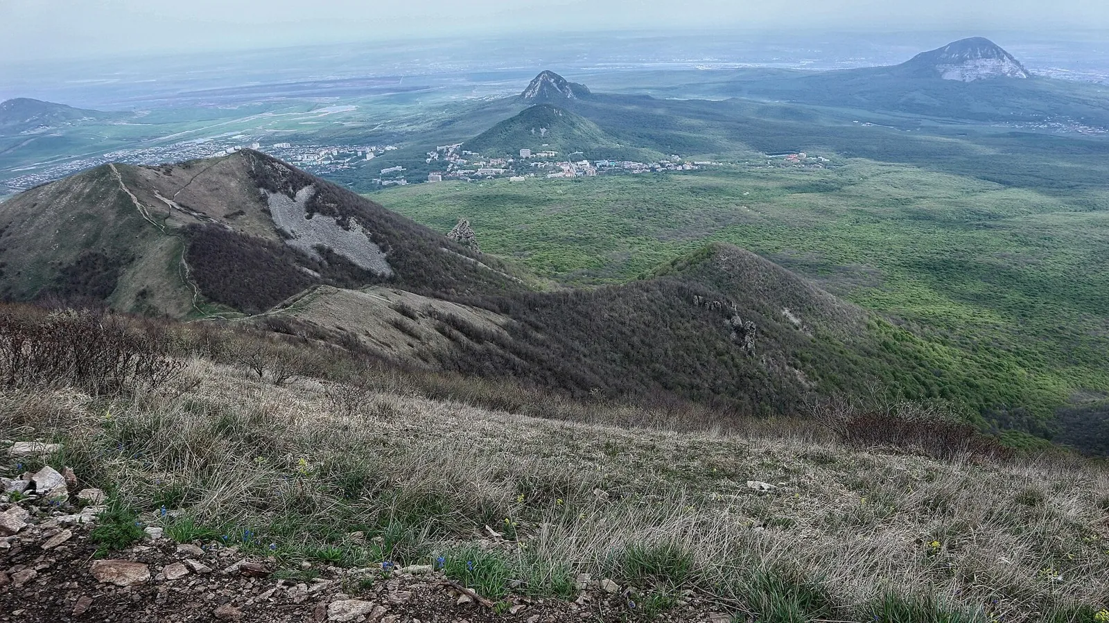
Plan this 3.66 km point-to-point walking route from its verified distance, gradients and recorded surface rather than unconfirmed landmarks. Estimated moving time is about 1.1 hours; add time for pauses and navigation.

3.7 km 90 +0 m Easy
Dzhamaraklitebe to Baritovy Waterfall via Pioner Saddle
✓ TrailTrack

Dzhamaraklitebe to Baritovy Waterfall via Pioner Saddle

Hiking · One-day

Choose this version to descend from Dzhamaraklitebe towards Baritovy Waterfall through another upper reference point, Pioner Saddle. It links the summit and valley in one sequence, leaving the waterfall for the closing part of the outing. Treat it as a prepared second stage of a larger walk from Arkhyz.

3.6 km 90 +0 m Easy
Bzerpinsky Ledge and Kholodny: the Urushten valley with lake branches
✓ TrailTrack

Bzerpinsky Ledge and Kholodny: the Urushten valley with lake branches

Hiking · Multi-day

Bzerpinsky Ledge, Pseashkha and Maloye Lake link a mountain shelf with the Urushten valley. Separate Dzitaku permission adds several closely spaced lakes. Give each authorised section time rather than hurrying between the different branches.

20.2 km 90 +0 m Moderate
Sulak, Nazran and Gerpegezh: Separate Walks between Transfers
✓ TrailTrack

Sulak, Nazran and Gerpegezh: Separate Walks between Transfers

Caucasus · Hiking · Multi-day

Combine Love Swing on the Sulak side with a separate walk beside the Cherek River near Gerpegezh. Give the Nazran portion and travel between regions their own place in the itinerary rather than rushing the visits.

284.2 km 90 +2680 m Hard
Dargavs and Karmadon with a continuation over Saniba Pass to Balta
✓ TrailTrack

Dargavs and Karmadon with a continuation over Saniba Pass to Balta

Caucasus · Hiking · Multi-day

Explore the Dargavs necropolis and Karmadon memorials, then discover the connection between neighbouring valleys at Saniba Pass. Choose the full continuation towards Balta only after confirming current road restrictions.

86.0 km 90 +2395 m Hard
Chikola into Digoria: Madzaska and Bayradi Waterfall
✓ TrailTrack

Chikola into Digoria: Madzaska and Bayradi Waterfall

Caucasus · Hiking · Multi-day

Walk from Chikola towards upper Digoria and discover Bayradi Waterfall beside the Kharesidon valley. Mountain water and traces of former geological work make this a rewarding place to pause.

58.4 km 90 +2467 m Hard
Kilpola to Lumivaara: The Lighthouse, Kocherga and Kukhka Shores
✓ TrailTrack

Kilpola to Lumivaara: The Lighthouse, Kocherga and Kukhka Shores

Тур-стоянки, пляж · Boat · Multi-day

Follow the change from Kilpola island passages to the shores of Kojonsaari and Kukhka, with a separate visit to Muralakhti Bay. The contrasting shores give each stage a distinct destination.

62.5 km 90 +0 m Hard
Eastern Alamedin Slopes: a Preliminary Returning Outing
✓ TrailTrack

Eastern Alamedin Slopes: a Preliminary Returning Outing

Alamedin Gorge trailhead / parking area · Hiking · One-day

Consider a closer exploration of Alamedin’s eastern side with a guide. After checking the real way, the outing can focus on slopes outside the ordinary waterfall visit.

11.5 km 90 +594 m Hard
From the Smaller Naryn towards Tamdy-Suu over the Pass Approach
✓ TrailTrack

From the Smaller Naryn towards Tamdy-Suu over the Pass Approach

Hiking · One-day

Leave the Smaller Naryn valley for Tamdy-Suu through the mountain approaches. The opening riverside stop and independent pass stage offer a gradual way to learn the area.

21.2 km 90 +766 m Moderate
Back Page 47 of 79 Next