TrailTrack routes

Маршруты с подготовленным описанием, сложностью, покрытием и планированием визита.

Found 1895 routes
Choose a route from the list or view routes on the map.
Platforma Mashuk => Geolog Kazakhstana => Beshtaugorskoe Loop
✓ TrailTrack

Platforma Mashuk => Geolog Kazakhstana => Beshtaugorskoe Loop

Caucasus · Off-road cycling · One-day

Plan this 5.44 km point-to-point cycling route from its verified distance, gradients and recorded surface rather than unconfirmed landmarks. Estimated moving time is about 0.8 hours; add time for pauses and navigation.

5.4 km 84 +0 m Easy
Caucasian Trail Land of the Galgai: Ezmi to Guli
✓ TrailTrack

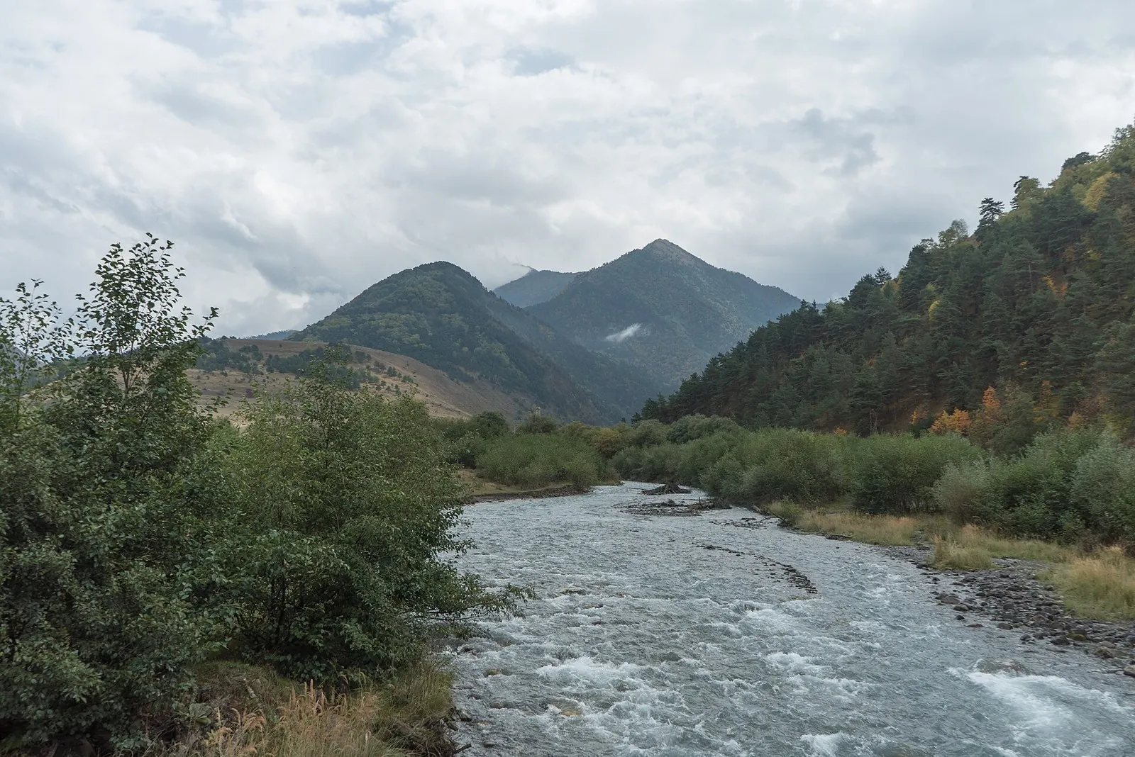
Caucasian Trail Land of the Galgai: Ezmi to Guli

Hiking · Multi-day

Walk between Ingushetia’s tower complexes and experience Egikal, Khamkhi and Targim as parts of one historic landscape. Travelling east from Ezmi allows longer pauses where vehicle excursions often make brief stops.

78.1 km 84 +0 m Hard
Trail by Kvashe and Andreyevsky Passes
✓ TrailTrack

Trail by Kvashe and Andreyevsky Passes

Hiking · One-day

Plan this 14.91 km point-to-point walking route from its verified distance, gradients and recorded surface rather than unconfirmed landmarks. Estimated moving time is about 4.4 hours; add time for pauses and navigation.

14.9 km 84 +0 m Moderate
Furtoug via Tsey-Loam and Egikal towards the Ekazhevo plain
✓ TrailTrack

Furtoug via Tsey-Loam and Egikal towards the Ekazhevo plain

Hiking · Multi-day

Discover the Tsurov tower, Furtoug waterfall and Egikal within an extended journey through mountain Ingushetia. Tsey-Loam Pass helps reveal how the monuments relate to the Armkhi and Assa valleys.

127.5 km 84 +5214 m Hard
From Soltonsary through the Naryn Highland Saddles
✓ TrailTrack

From Soltonsary through the Naryn Highland Saddles

Hiking · Multi-day

Cross a sequence of neighbouring saddles after a stop beside Soltonsary. This gradual introduction to the Naryn mountains needs overnight places and a safe onward route chosen beforehand.

33.9 km 84 +803 m Hard
Arabel Syrt — over the Pass to the Burkhan Valley
✓ TrailTrack

Arabel Syrt — over the Pass to the Burkhan Valley

Arabel Syrt · Hiking · Multi-day

Walk from the open Arabel plateau over Arabel Pass into the Burkhan Valley and watch the high-country landscape change. The lake by the saddle and the long river descent make this a distinctive stage in an Inner Tien Shan journey.

52.4 km 84 +142 m Hard
Chon-Kyzyl-Suu to Jeti Oguz — the Echo Pass Crossing
✓ TrailTrack

Chon-Kyzyl-Suu to Jeti Oguz — the Echo Pass Crossing

Chon-Kyzyl-Suu to Jeti Oguz · Hiking · Multi-day

Connect the Djily-Suu hot springs, Shatyly Valley and Echo Pass with the Kok-Zhaiyk pastures. The appeal lies in the change between two valleys and the story behind Echo’s name, best recalled beneath the pass slope.

63.7 km 84 +1681 m Hard
A Grand Ride through the Mogilev Region
✓ TrailTrack

A Grand Ride through the Mogilev Region

+ · Hiking · Multi-day

This 78.36 km circular walking route passes through terrain where shore or waterside sections are recorded on the route. Gentle terrain: 232 m of total ascent over 78.36 km. Surface: compacted ground plus asphalt. Allow at least 4 days and verify overnight and exit options independently.

78.4 km 84 +232 m Hard
Across the Mogilev Region
✓ TrailTrack

Across the Mogilev Region

Hiking · Multi-day

Expect shore or waterside sections are recorded on the route on this 976.79 km point-to-point walking route. Gentle terrain: 96 m of total ascent over 976.79 km. Allow at least 41 days and verify overnight and exit options independently.

976.8 km 84 +96 m Hard
Berezina Gravel Circuit: Eastern route
✓ TrailTrack

Berezina Gravel Circuit: Eastern route

КП1 Мемориальный комплех бригады "Разгром", 27км · Hiking · Multi-day

The main recorded stops are Spring, making this a route to explore rather than rush through. Near the water: shore or waterside sections are recorded on the route. Gentle terrain: 203 m of total ascent over 201.98 km. Allow at least 9 days and verify overnight and exit options independently.

202.0 km 84 +203 m Hard
Pedalyery Team Route
✓ TrailTrack

Pedalyery Team Route

КП 4 · Hiking · Multi-day

Woodland is one of the route's main features along this 437.08 km point-to-point walking route. Gentle terrain: 315 m of total ascent over 437.08 km. Surface: asphalt. Allow at least 19 days and verify overnight and exit options independently.

437.1 km 84 +315 m Hard
May Day Cycling Route: via Malyavki
✓ TrailTrack

May Day Cycling Route: via Malyavki

Hiking · Multi-day

Treat this 103.6 km circular walking route as a complete outing, paying attention to the terrain and changing surface underfoot. Gentle terrain: 152 m of total ascent over 103.6 km. Allow at least 5 days and verify overnight and exit options independently.

103.6 km 84 +152 m Hard
Raubichi: Silichi Winter Ski Route
✓ TrailTrack

Raubichi: Silichi Winter Ski Route

Очаг, 15км · Skiing · One-day

Treat this 32.56 km point-to-point cross-country skiing route as a complete outing, paying attention to the terrain and changing surface underfoot. Gentle terrain: 113 m of total ascent over 32.56 km. Estimated moving time is about 5.7 hours; add time for pauses and navigation.

32.6 km 84 +113 m Hard
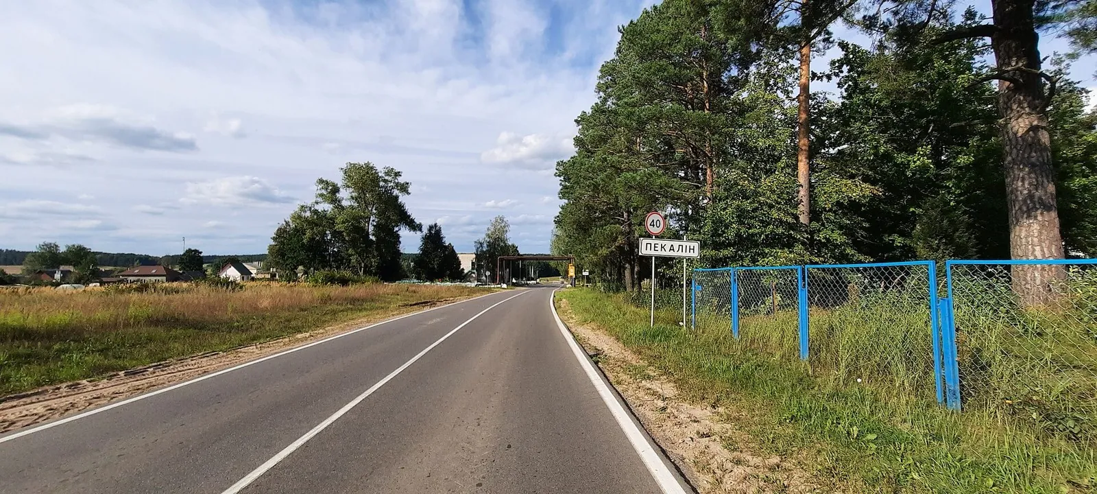
Pekalin Circuit: via Raubichi
✓ TrailTrack

Pekalin Circuit: via Raubichi

КП4, Пекалин, 154км · Bicycle · Multi-day

This 200.32 km circular cycling route passes through terrain where woodland is one of the route's main features. Gentle terrain: 128 m of total ascent over 200.32 km. Surface: asphalt. Allow at least 3 days and verify overnight and exit options independently.

200.3 km 84 +128 m Hard
Minsk: Pekalin: Road through the Hills
✓ TrailTrack

Minsk: Pekalin: Road through the Hills

КП1, Обчак, 32км · Bicycle · Multi-day

The route gives you good reasons to pause at Waterfalls, Mosty, rather than treating the outing as distance alone. Gentle terrain: 235 m of total ascent over 131.23 km. Allow at least 2 days and verify overnight and exit options independently.

131.2 km 84 +235 m Hard
Forest River Trail
✓ TrailTrack

Forest River Trail

Hiking · One-day

Expect woodland is one of the route's main features on this 2.27 km point-to-point walking route. Gentle terrain: 10 m of total ascent over 2.27 km. Estimated moving time is about 0.8 hours; add time for pauses and navigation.

2.3 km 84 +10 m Easy
Bereza, Drogichin and Pinsk: a Polesie Cycling Journey towards Turov
✓ TrailTrack

Bereza, Drogichin and Pinsk: a Polesie Cycling Journey towards Turov

ВелоПолесь · Bicycle · Multi-day

Connect the Yaselda and Pina with Drogichin’s Presentation Church and Butrimovich Palace in Pinsk. Turov and Petrikov extend the journey through Polesie, with overnight stages allowing time for places a quick transit would reduce to road signs.

631.8 km 84 +1747 m Hard
Shimeroy to Kharkaroy Tower: Via Abdalzabazul and a Lookout Branch
✓ TrailTrack

Shimeroy to Kharkaroy Tower: Via Abdalzabazul and a Lookout Branch

Hiking · Multi-day

Connect Shimeroy and Abdalzabazul with Kharkaroy Battle Tower. The Cheberloy Canyon Viewpoint branch adds another perspective without turning the tower visit into a rushed dash.

27.3 km 83 +0 m Hard
Guloykhi to Kezenoy-Am: A Mountain Crossing via Itum-Kali and Old Hoi
✓ TrailTrack

Guloykhi to Kezenoy-Am: A Mountain Crossing via Itum-Kali and Old Hoi

Hiking · Multi-day

Link Guloykhi, the Argun, Phakoch Castle and Old Hoi in an independent mountain journey. Cheberloy Canyon Viewpoint and the Akhkete provide distinct riverside stops before Kezenoy-Am.

170.0 km 83 +0 m Hard
Zubkov Battery: Coastal Defense Trail
✓ TrailTrack

Zubkov Battery: Coastal Defense Trail

Hiking · One-day

Plan this 3.79 km circular walking route from its verified distance, gradients and recorded surface rather than unconfirmed landmarks. Estimated moving time is about 1.2 hours; add time for pauses and navigation.

3.8 km 83 +0 m Easy
Walking Route in the Caucasus — 60,3 km
✓ TrailTrack

Walking Route in the Caucasus — 60,3 km

Walking Route in the Caucasus · Hiking · Multi-day

Plan this 60.27 km point-to-point walking route from its verified distance, gradients and recorded surface rather than unconfirmed landmarks. Strong mountain relief: 2889 m of total ascent over 60.27 km. Allow at least 4 days and verify overnight and exit options independently.

60.3 km 83 +2521 m Hard
Anavgai to Ilmagan: upper road and mountain lakeside walk
✓ TrailTrack

Anavgai to Ilmagan: upper road and mountain lakeside walk

Travel · One-day

Reach Ilmagan Lake through the upper road and woodland sections, pause on the permitted shore and see a quiet mountain lake among the surrounding terrain. The final walk suits a prearranged journey from Anavgai.

19.6 km 83 +99 m Moderate
Galyamaki to Esso in winter: lake approaches and Malaya Romanovka valley
✓ TrailTrack

Galyamaki to Esso in winter: lake approaches and Malaya Romanovka valley

Travel · Multi-day

See Galyamaki’s winter side and follow mountain approaches into the Malaya Romanovka valley, then the woodland road towards Esso. It is an appealing direction for a prepared organised group once access and winter conditions are confirmed.

64.9 km 83 +1333 m Hard
Lower Adygene Traverse via the Woodland Memorial and River Crossings
✓ TrailTrack

Lower Adygene Traverse via the Woodland Memorial and River Crossings

Hiking · One-day

Visit Ala-Archa’s woodland memorial and discover lower Adygene, where the outing changes character between trees, meadow and river crossings.

5.5 km 83 +412 m Moderate
Back Page 54 of 79 Next