

oz.Artemeva: Walking Route
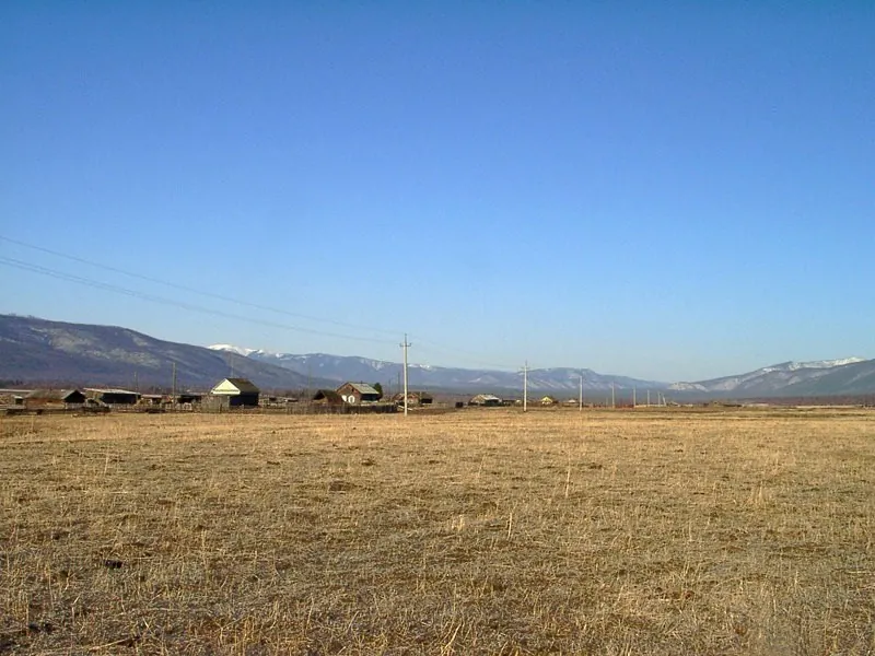
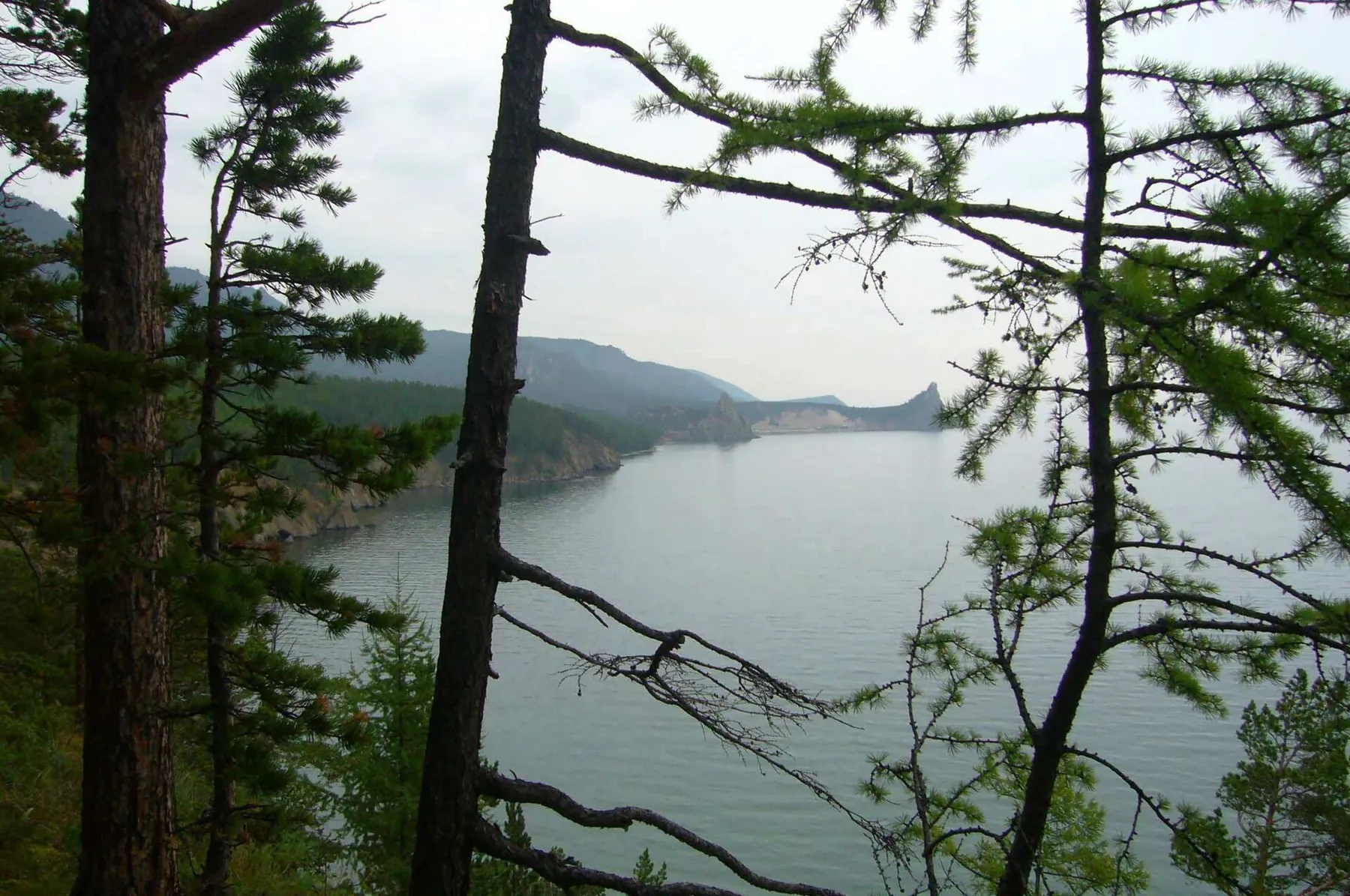
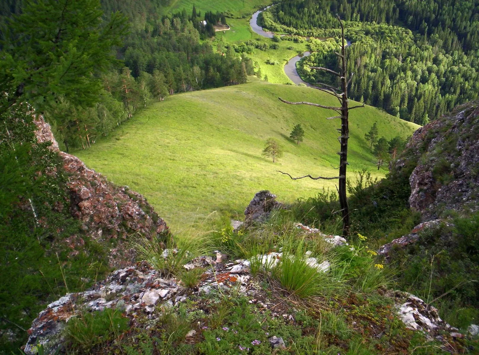
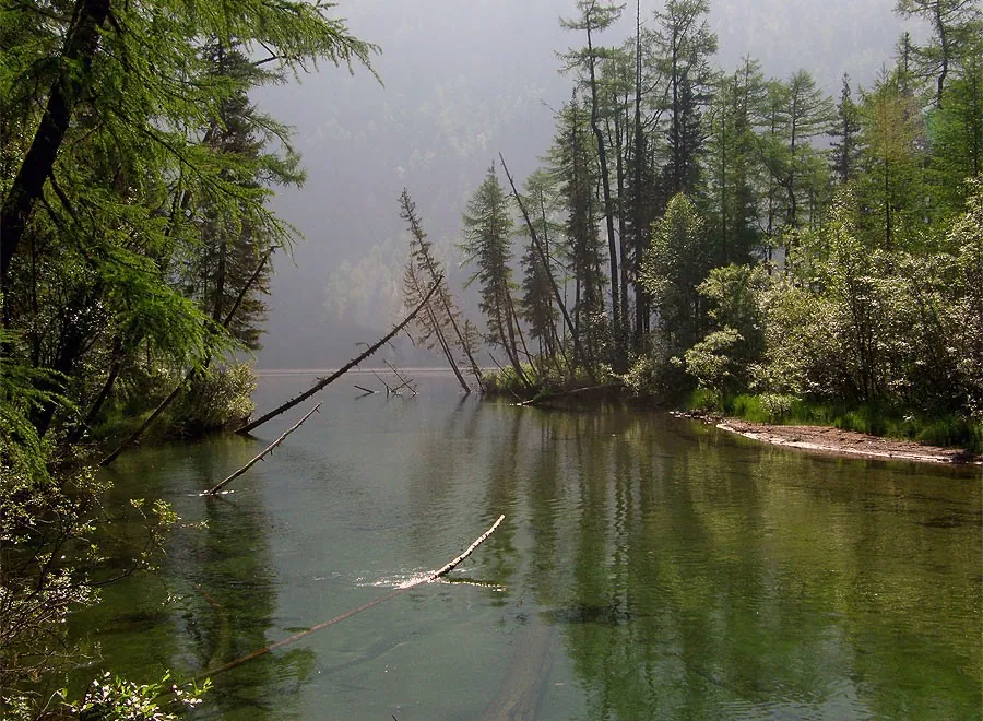
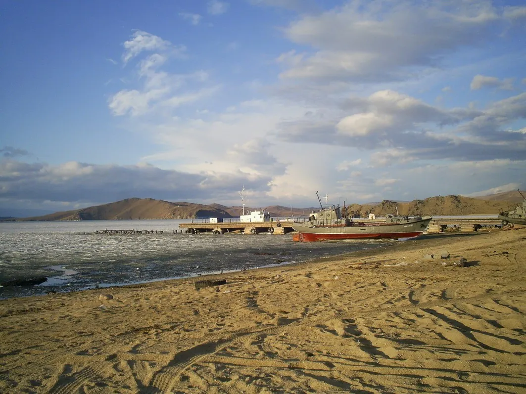
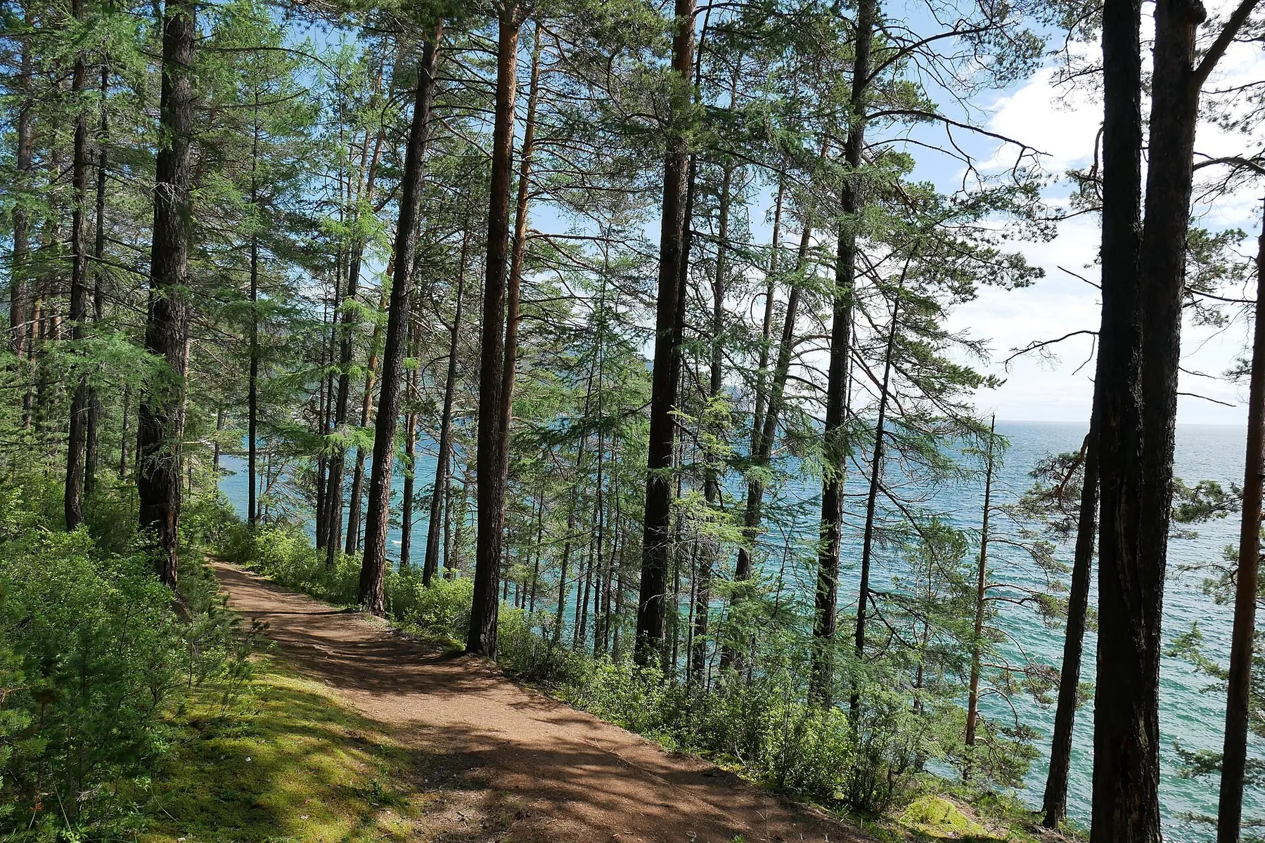
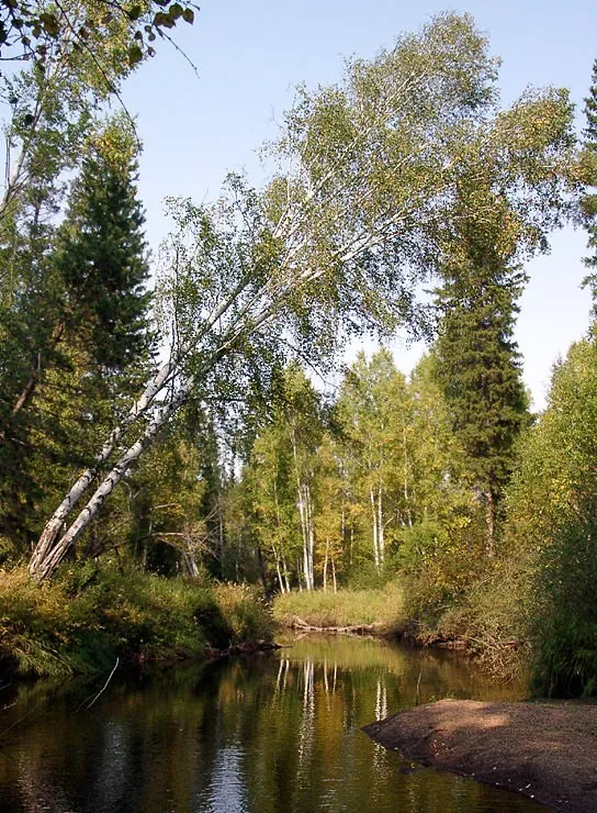
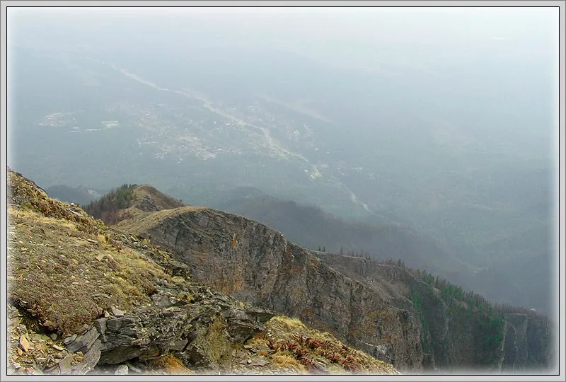
This 6.64 km point-to-point walking route passes through terrain where mapped viewpoints occur along the way. Strong moun…

Route catalog
Choose a route by mood: a short walk, a weekend hike, or a bike track. Map, distance, and difficulty are always at hand.
Найдём подходящие маршруты по вашим интересам, локации и условиям
Found 1915 routes
Curated: 1895 · Community tracks: 20
This 6.64 km point-to-point walking route passes through terrain where mapped viewpoints occur along the way. Strong moun…
The recorded line is a 10.43 km point-to-point walking route, with mapped viewpoints occur along the way. Gentle terrain:…
The recorded line is a 2.35 km point-to-point walking route, with shore or waterside sections are recorded on the route. …
Connect several woodland valleys in a ski day from the Polushkino side to Dachnoye. The early springs, Setun, Nakhavnya, …
Combine a woodland run to Sima with an independent continuation to Polushkino. Nakhavnya, Ostrovnya and Setun provide thi…
Chinarsky and Universitetsky let you compare two woodland cascades in one outing. Rock ledges, large boulders and falling…
The Hermit Oak, Tatarskoye Bagno and Turlyuy give the woodland individual identities. Compare an old tree’s shape, a mars…
Walk beside Pererov Reservoir and the Pererovnitsa River, combining two different water-side stops in a small forest outi…
The track links Lake Bezdonnoye into one continuous outdoor outing. Forest sections: woodland is one of the route's main …
Expect shore or waterside sections are recorded on the route on this 4.45 km circular walking route. Strong mountain reli…
This 396.3 km point-to-point water route passes through terrain where mapped viewpoints occur along the way. Noticeable c…
The recorded line is a 293.46 km point-to-point walking route, with mapped viewpoints occur along the way. Rolling terrai…
This 1262.63 km point-to-point walking route is shaped by its terrain, surface and pace rather than a single landmark. Al…
Treat this 12.82 km point-to-point walking route as a complete outing, paying attention to the terrain and changing surfa…
Explore the western side valleys of lower Ala-Archa after independently checking the way. The direction offers an opportu…
Ride a compact woodland circuit with frequent direction changes and a return to the start. It offers technical forest rid…
The woodland path links the upper gorge side with Akhun Tower’s exterior. This distinct direction supports a prearranged …
Mapped stops at Panorama goroda. Ploshchad Slavy, Park. Eda. Tualety, Museum Slavy Mogilevshchiny add clear points of int…
The recorded line is a 155.72 km point-to-point walking route, with woodland is one of the route's main features. Gentle …
Expect woodland is one of the route's main features on this 2.25 km point-to-point cycling route. Gentle terrain: 13 m of…
This is a 0.86 km point-to-point walking route with a complete recorded line to follow from start to finish. Strong mount…
The interest of this 5.52 km point-to-point walking route lies in travelling the distance itself: its gradients, surface …
The interest of this 35.57 km point-to-point cross-country skiing route lies in travelling the distance itself: its gradi…
The interest of this 56.81 km point-to-point walking route lies in travelling the distance itself: its gradients, surface…
Pick where to start
Share a trip