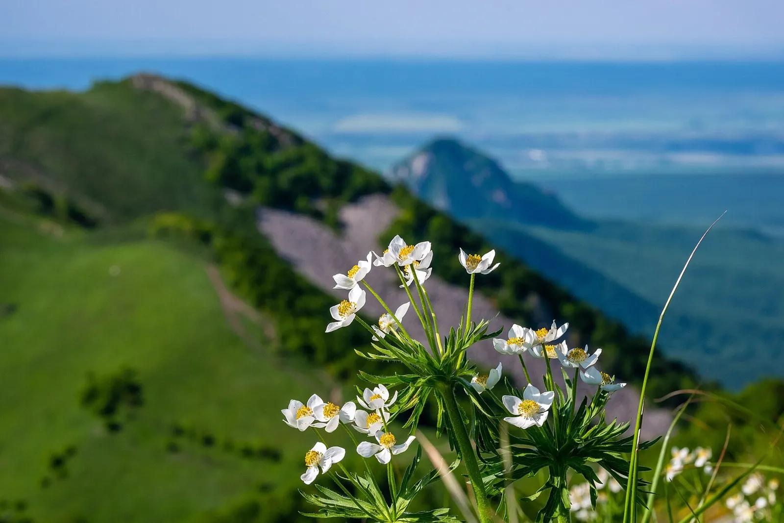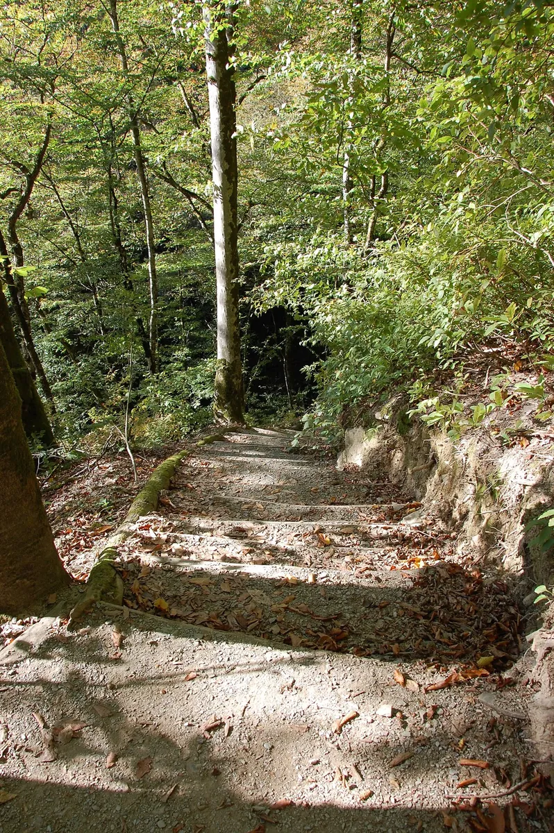


Rosa Khutor Health Trail: The Small Passage beside Nadezhda Waterfall
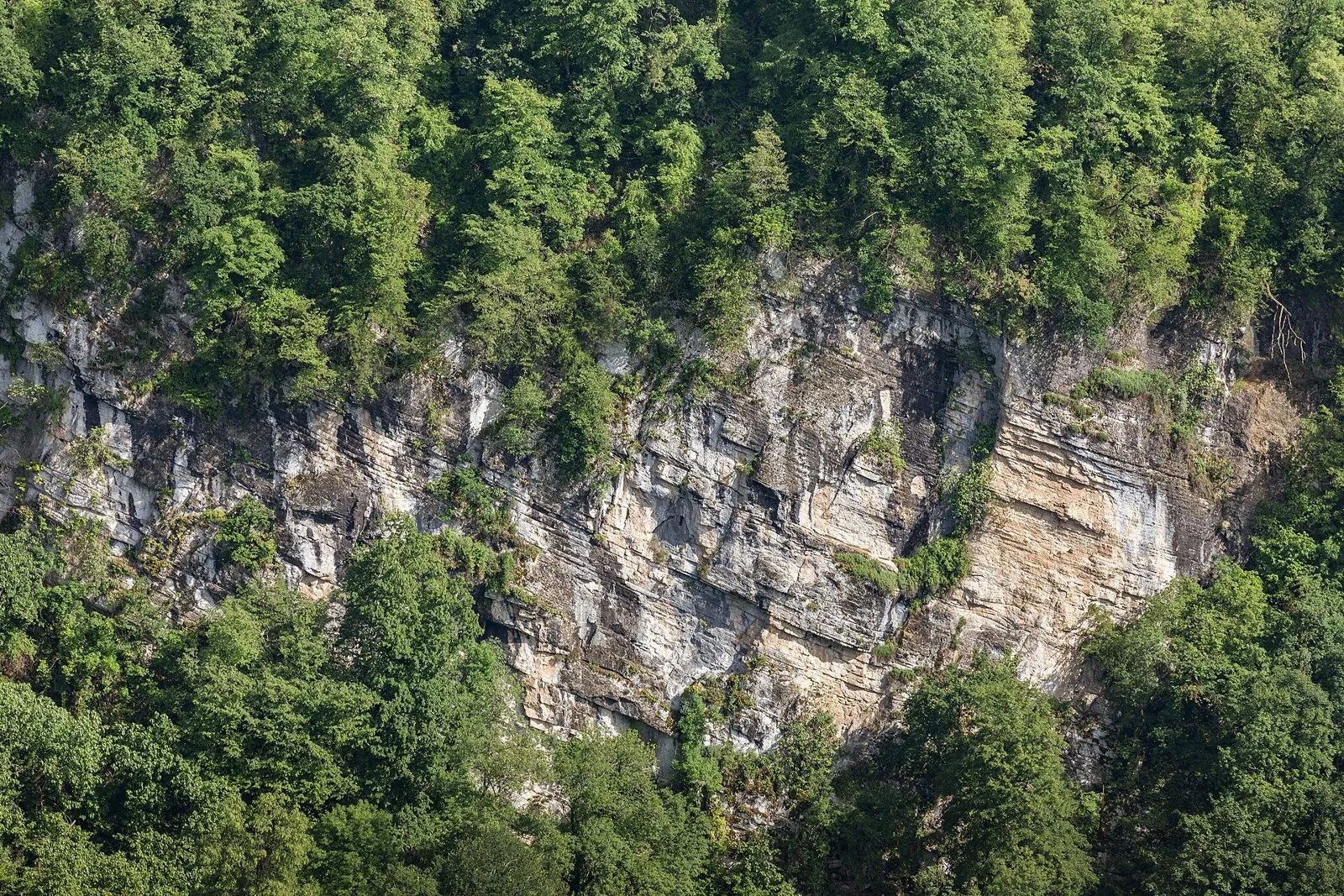
See Nadezhda Waterfall and the wooded edge of the Mzymta Valley on a separate short walk. This version leaves attention f…

Route catalog
Choose a route by mood: a short walk, a weekend hike, or a bike track. Map, distance, and difficulty are always at hand.
We will find routes that match your interests, location and conditions
Found 1917 routes
Curated: 1895 · Community tracks: 22
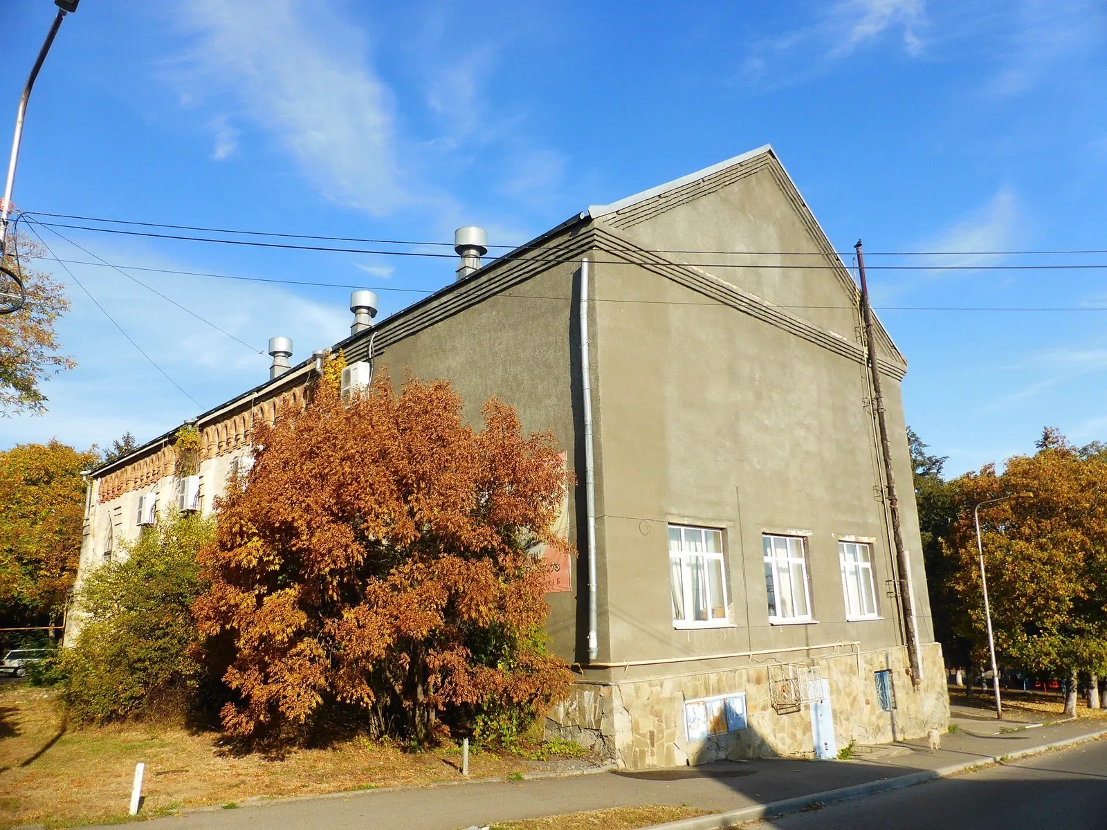
See Nadezhda Waterfall and the wooded edge of the Mzymta Valley on a separate short walk. This version leaves attention f…
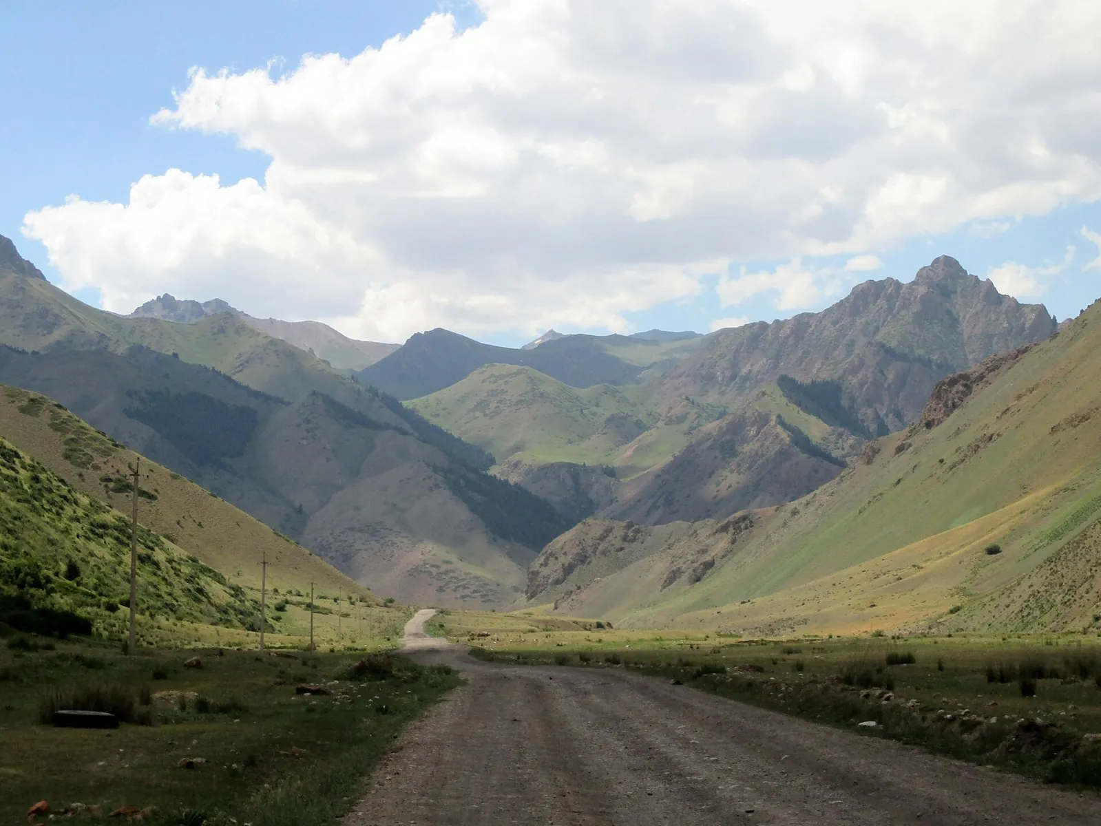
Cross Donguz from Kara-Keche towards Ming-Kush and explore the valley direction towards Sary-Bulun as a separate addition…
Walk Juuku Valley from Ashu-Kashka-Suu towards Dungurome and prepare an onward high-mountain journey. It is a substantial…
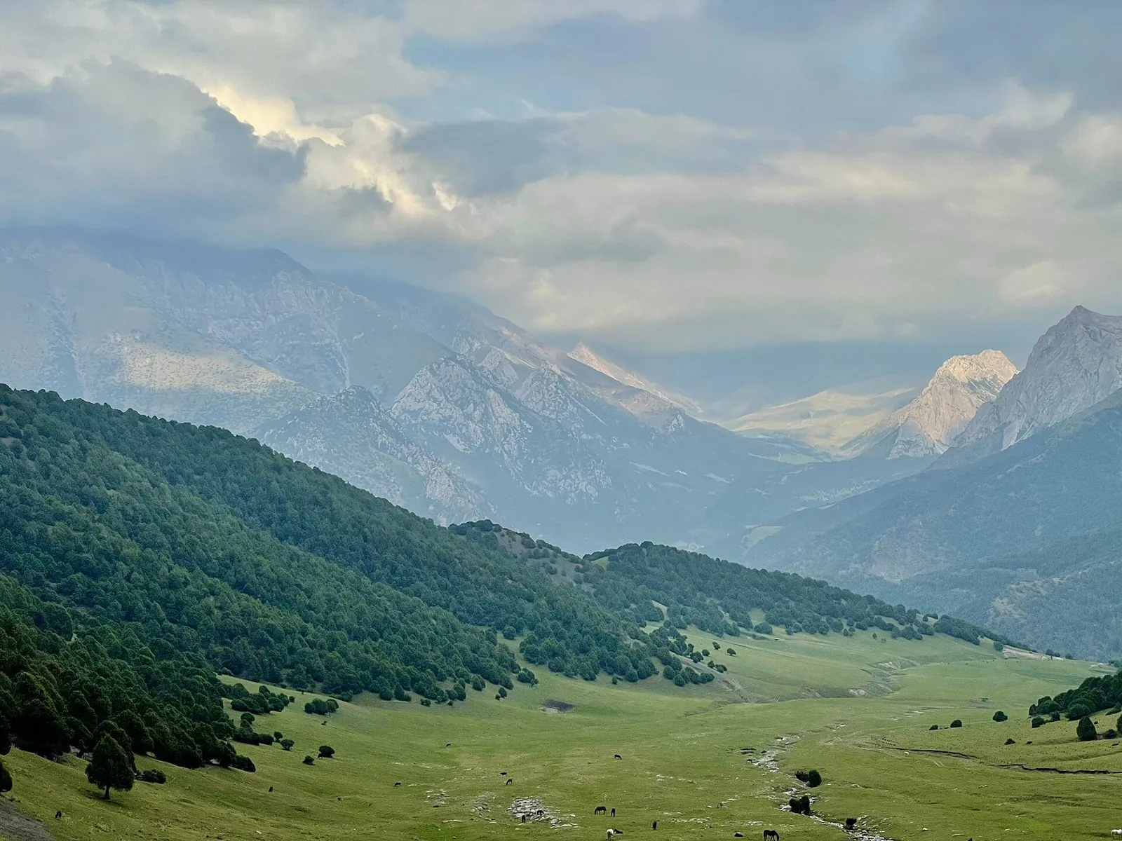
Follow Djukuchak valley towards the glacial Terskey Ala-Too divide and emerge on the southern side near the Arabel syrts.…
To spend a day along the upper Isfayram-Say and explore the side streams around Langar. The section gives time to study t…
To cross Aktash between the Abshir-Say and Isfayram-Say valleys. The journey makes the divide between two river systems t…
Plan this 5.44 km point-to-point cycling route from its verified distance, gradients and recorded surface rather than unc…
This 37.93 km circular walking route passes through terrain where woodland is one of the route's main features. Gentle te…
The recorded line is a 18.23 km circular cycling route, with the route includes sites with cultural context. Gentle terra…
The main recorded stops are Spring, making this a route to explore rather than rush through. Near the water: shore or wat…
Combine river scenery with small towns that are rarely the focus of a long journey. Krasnopolye’s memorials and Cherikov’…
See the area from Shimeroy, Abdalzabazul and Khachkhar, then pause at Kharkaroy Battle Tower. The northern mountain branc…
Lower Azhek Waterfall and Agua Church Ruins link natural and historical sides of the valley. Plan their viewing only afte…
To cross Torpo and Kum-Bel in sequence and understand the valleys on both sides of Kichik-Alay. The two passes give this …
Plan this 14.91 km point-to-point walking route from its verified distance, gradients and recorded surface rather than un…
Plan this 1.62 km point-to-point walking route from its verified distance, gradients and recorded surface rather than unc…
Plan this 2.25 km point-to-point walking route from its verified distance, gradients and recorded surface rather than unc…
Shore or waterside sections are recorded on the route along this 263.67 km point-to-point cycling route. Gentle terrain: …
The recorded line is a 204.08 km point-to-point cycling route, with shore or waterside sections are recorded on the route…
Woodland is one of the route's main features along this 437.08 km point-to-point walking route. Gentle terrain: 315 m of …
Expect woodland is one of the route's main features on this 303.14 km circular cycling route. Gentle terrain: 242 m of to…
This 604.96 km point-to-point cycling route passes through terrain where woodland is one of the route's main features. Ge…
The recorded line is a 205.73 km circular cycling route, with woodland is one of the route's main features. Gentle terrai…
Pick where to start
Share a trip