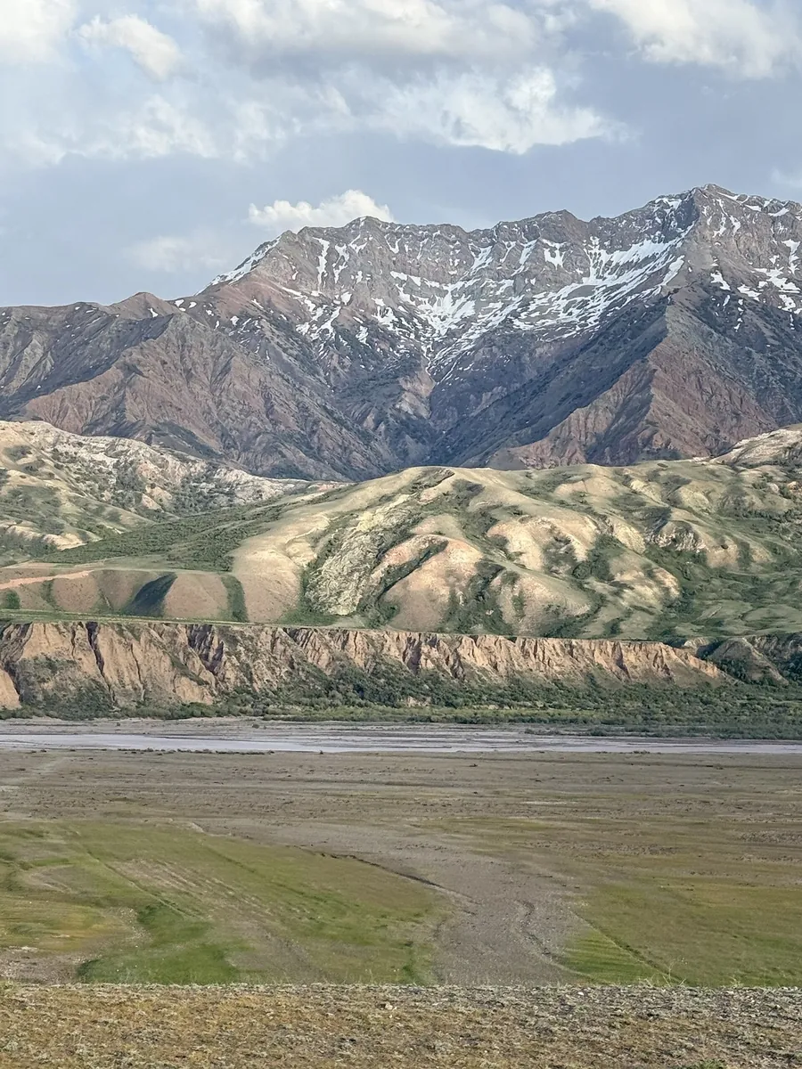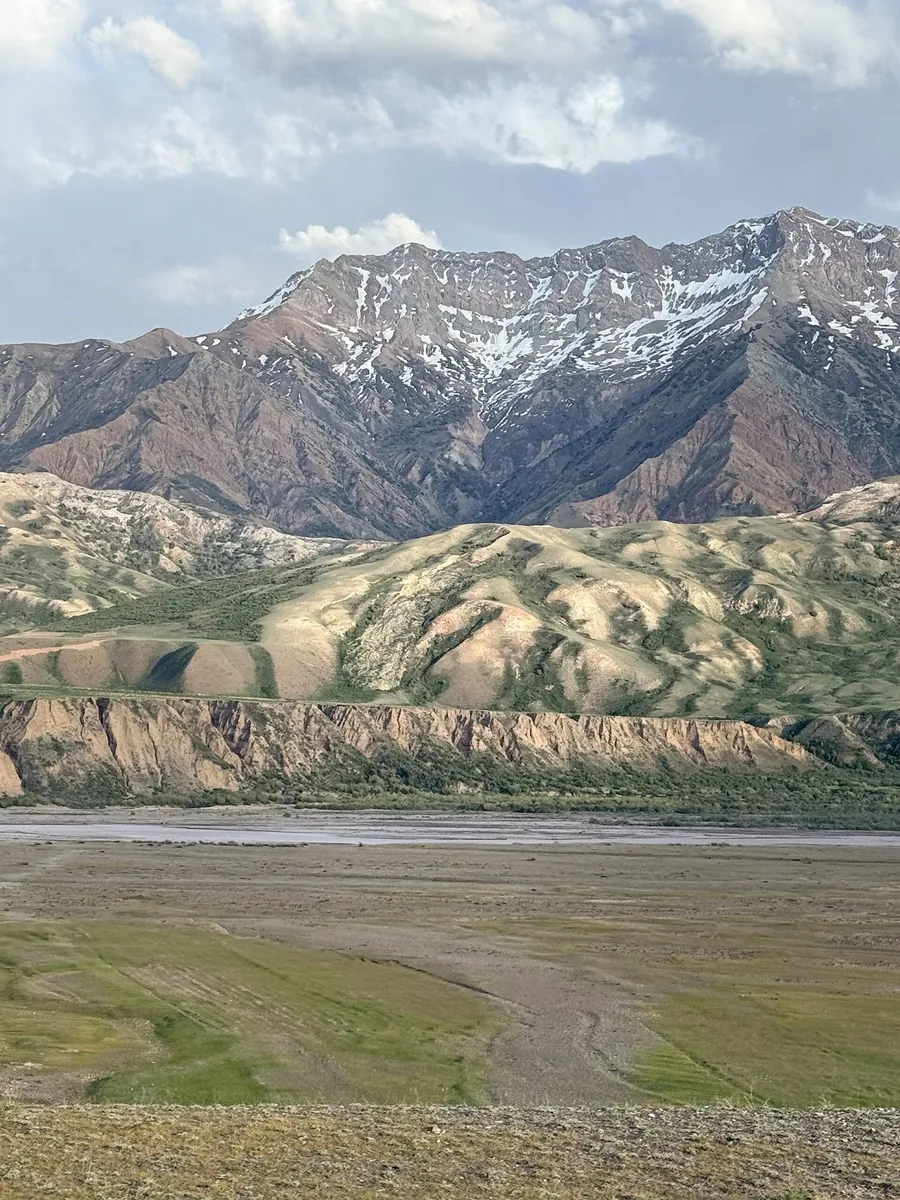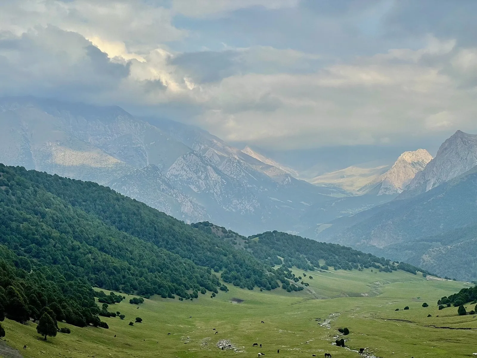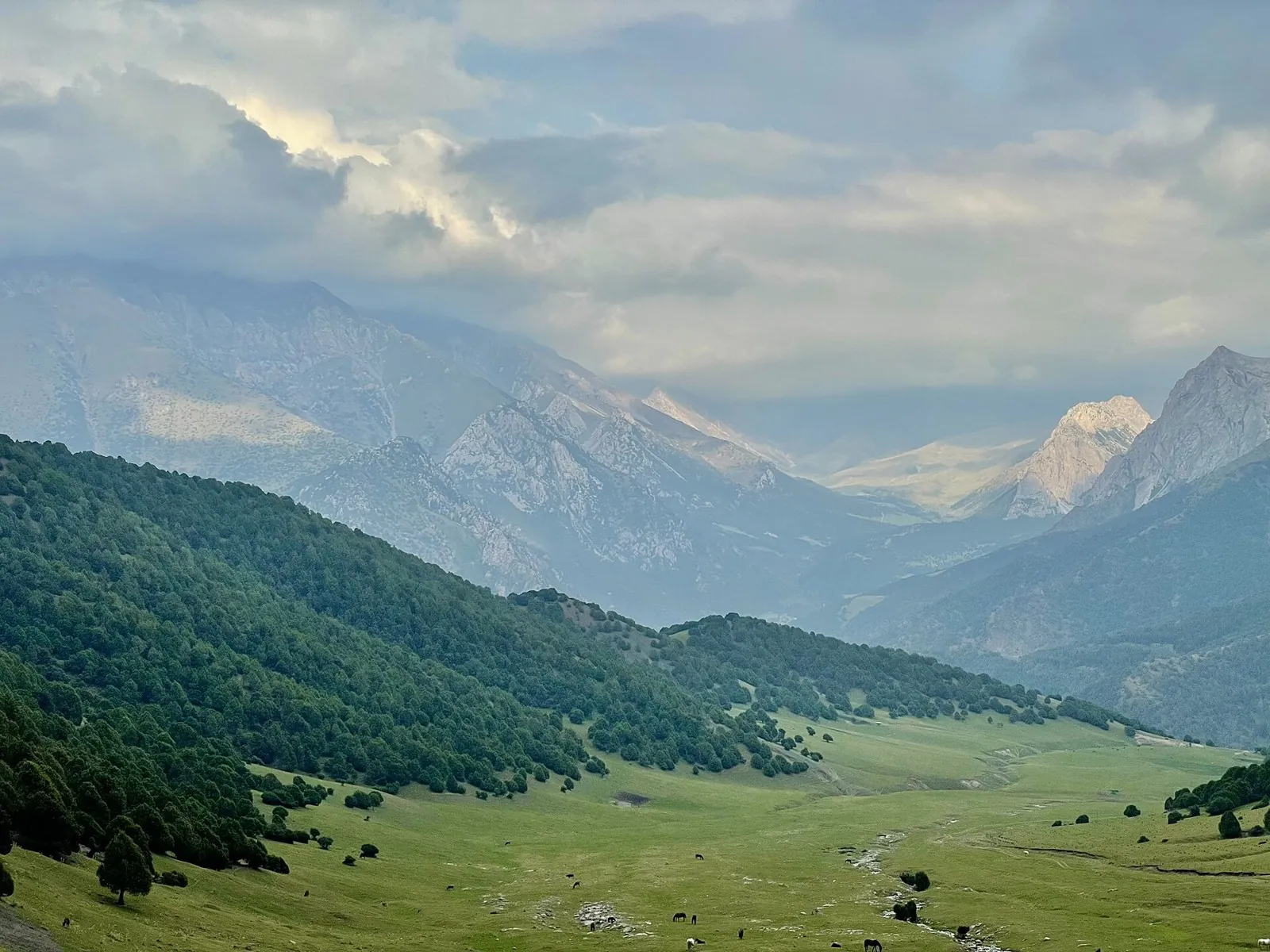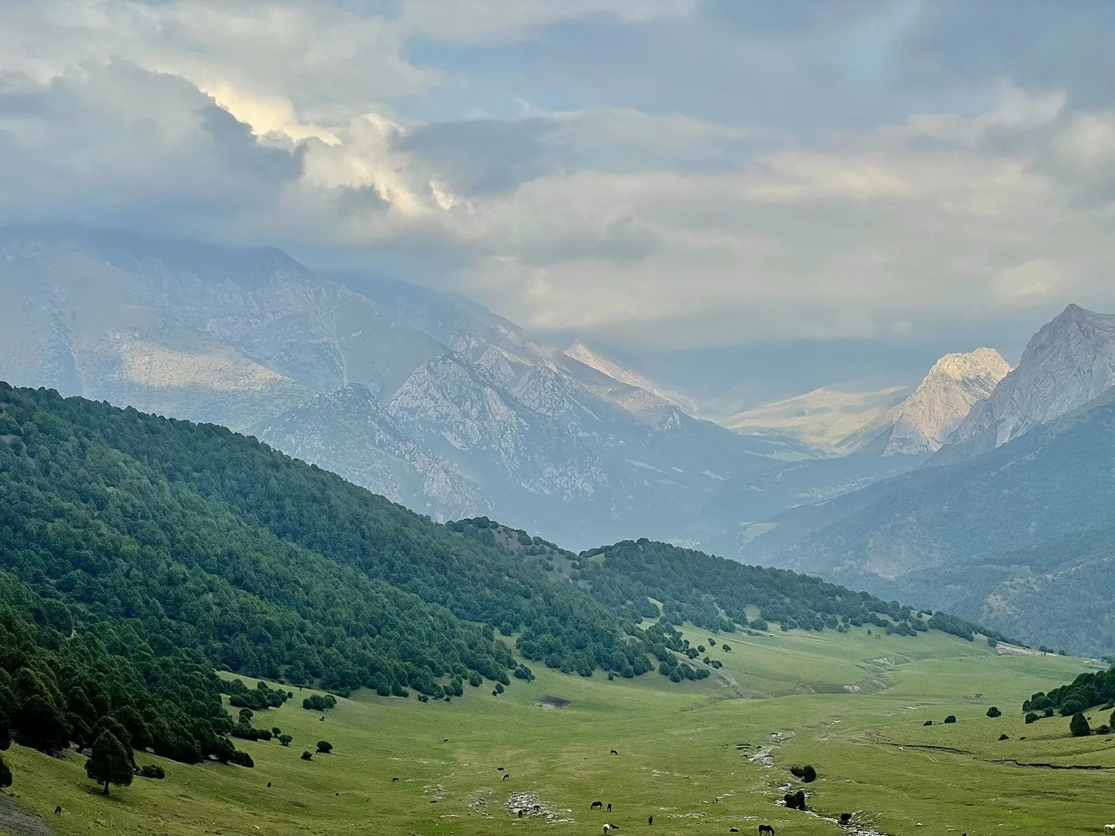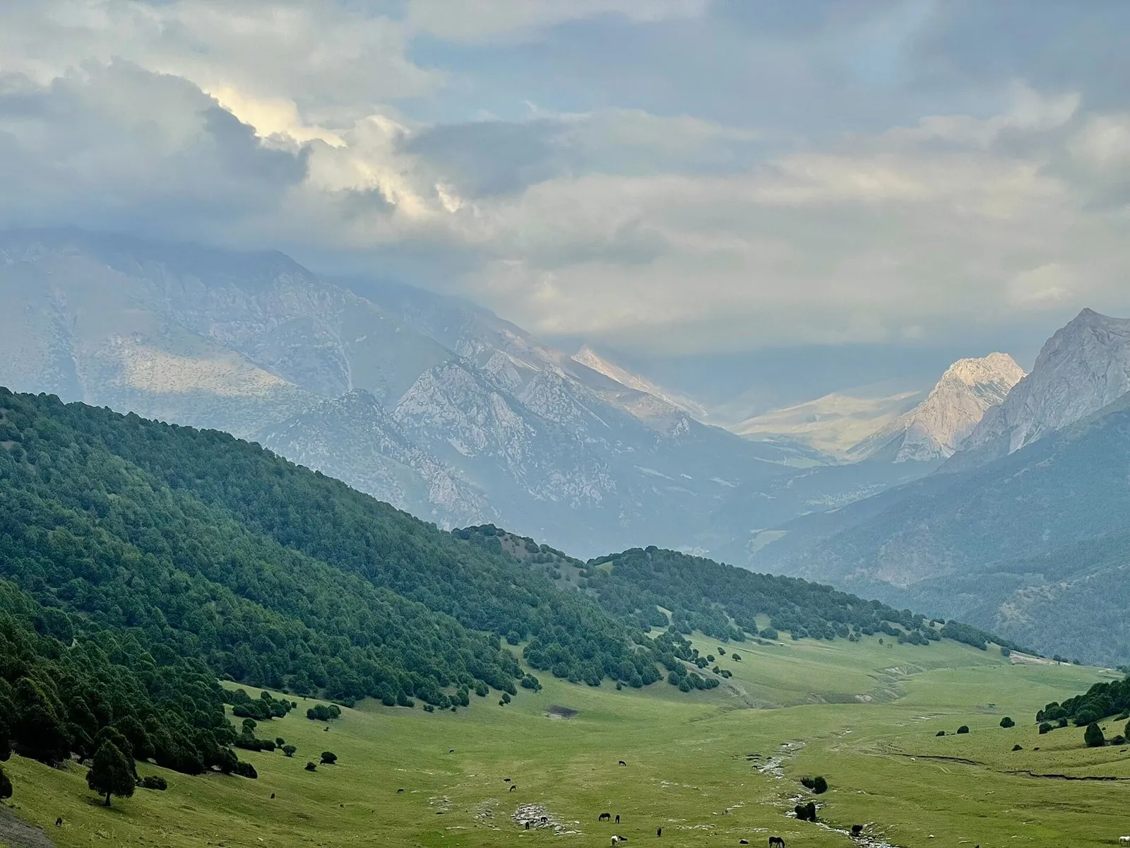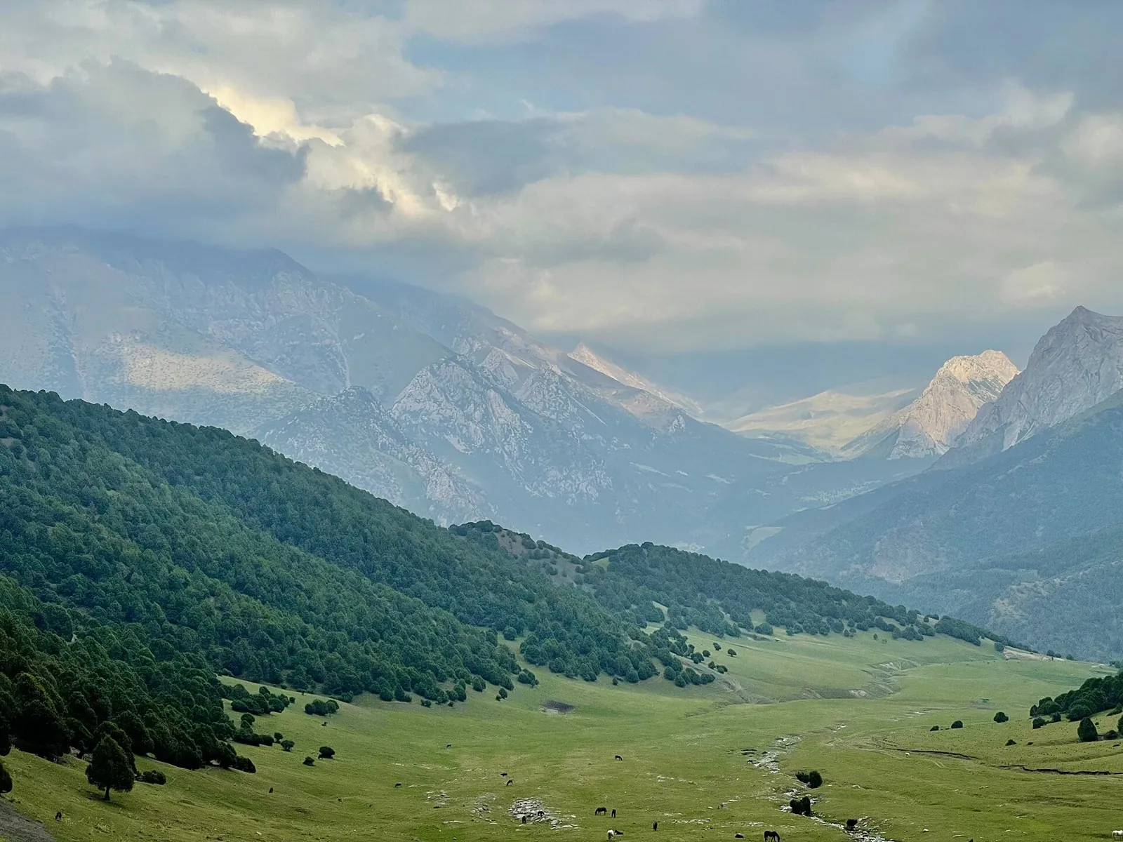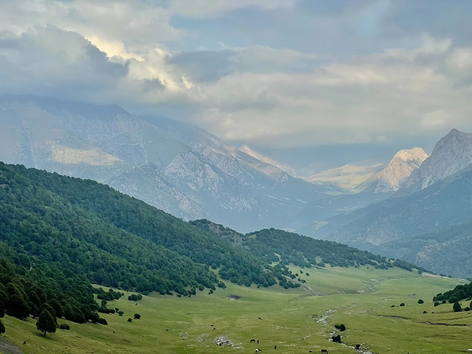
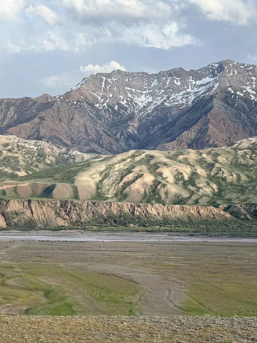
Kaindy: from the Isfayram-Say Valley over the Pass to Tengizbay
For the Kaindy valley and its pass into the Tengizbay. Following the tributary towards the divide gives a clear sense of …
TrailTrack region
TrailTrack has 9 public routes in Batkenskaya Oblast for hiking. Distances range from 4.3 to 25.9 km. Featured: Kaindy: from the Isfayram-Say Valley over the Pass to Tengizbay, Bersu: a pass crossing towards the Tegermetch Valley and Tengizbay: the Valley Approach from the Upper Isfayram-Say. Each route has a map, distance, difficulty and a GPX/KML download.
Collection
For the Kaindy valley and its pass into the Tengizbay. Following the tributary towards the divide gives a clear sense of …
To enter the Tengizbay from the upper Isfayram-Say and visit the Chatindy junction. The walk introduces the headwater val…
To spend a day along the upper Isfayram-Say and explore the side streams around Langar. The section gives time to study t…
To follow the Isfayram-Say from the Tegermetch to the Kaindy, passing the Surmatash mouth. These river junctions give a u…
To look over the Tegermetch valley from Dastar-Ata and reach its neighbouring river. The saddle gives this compact mounta…
To follow the Tegermetch corridor into the main Isfayram-Say valley. Its defining places are the sections where the rock …
For the Bersu saddle and the approach to the Tegermetch. The walk brings the northern Kichik-Alay spurs into focus throug…
To cross West Kara-Ayyrma and explore a side of the Isfayram-Say system. The change of valley beyond the saddle is the de…
To cross Aktash between the Abshir-Say and Isfayram-Say valleys. The journey makes the divide between two river systems t…
Stories
Pick where to start
Hikes, posts and albums are saved to your account. You can draw a route on the map without signing in.
Share a trip sign-in needed