TrailTrack routes

Маршруты с подготовленным описанием, сложностью, покрытием и планированием визита.

Found 1895 routes
Choose a route from the list or view routes on the map.
Olkhon’s Western Side to Uzury: Peschanaya and the Haga-Yaman Shore
✓ TrailTrack

Olkhon’s Western Side to Uzury: Peschanaya and the Haga-Yaman Shore

Hiking · Multi-day

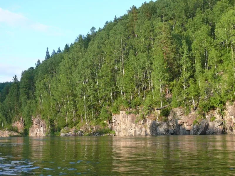
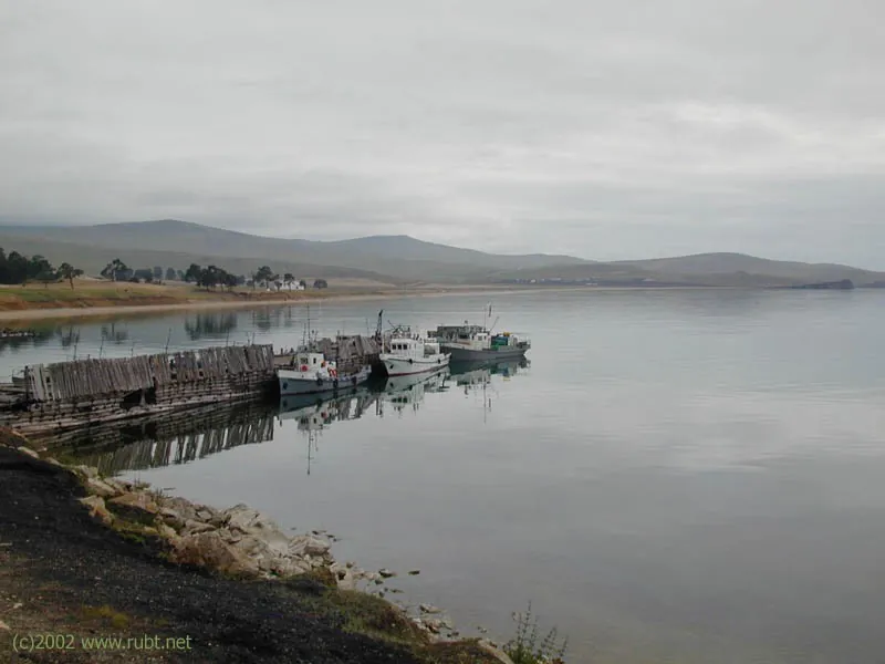
To cross from Olkhon’s western side to open Baikal near Uzury and compare their character. Peschanaya and Nyurganskaya Bay offer sandy shore and changing woodland; on the eastern side, the bay between rocky slopes provides the destination. This is an independent island crossing for walkers arranging their own overnight places and return.

43.2 km 129 +1006 m Hard
Around Trail "Master "
✓ TrailTrack

Around Trail "Master "

Moscow region · Skiing · One-day

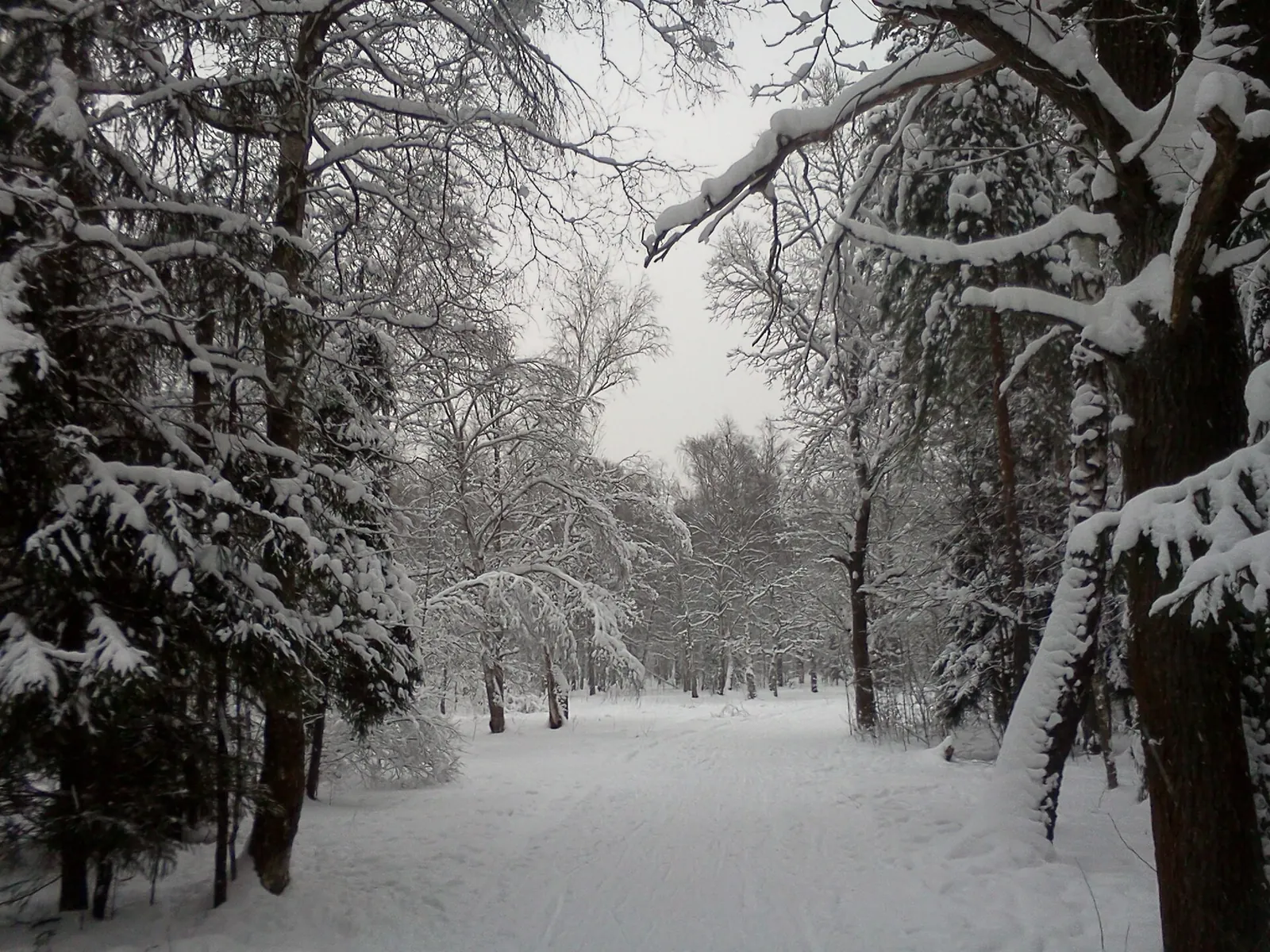
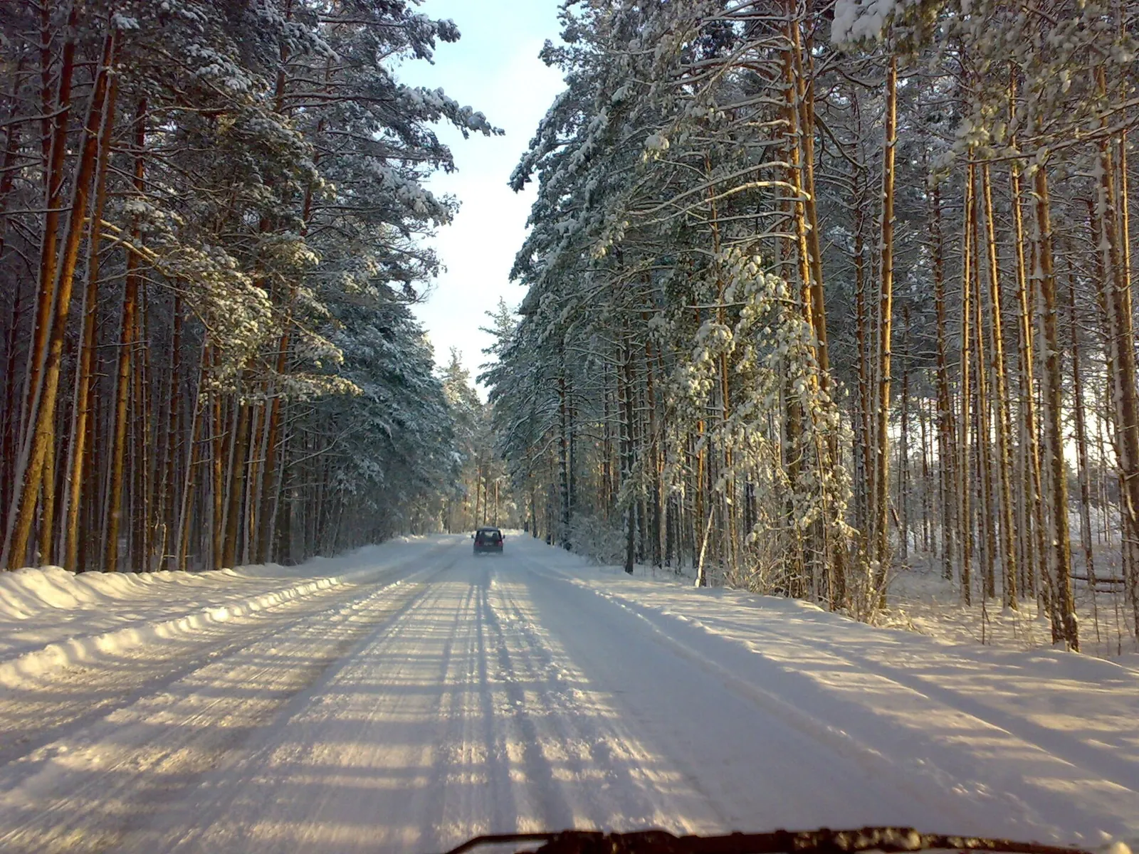
The interest of this 5.01 km circular cross-country skiing route lies in travelling the distance itself: its gradients, surface and rhythm. Rolling terrain: 65 m of total ascent over 5.01 km. Surface: compacted ground. Estimated moving time is about 1.0 hours; add time for pauses and navigation.

5.0 km 129 +65 m Easy
Yakhroma to Iksha: the southern clearing and two separated Klubish crossings
✓ TrailTrack

Yakhroma to Iksha: the southern clearing and two separated Klubish crossings

Moscow region · Run · One-day

Experience two distinct encounters with the Klubish and the southern clearing continuation from the western arc towards Iksha. This version reveals the stream in sequence rather than returning almost to the same location through the northern woodland bypass.

32.5 km 129 +460 m Hard
Kaspersky Race: Forest Stage Two
✓ TrailTrack

Kaspersky Race: Forest Stage Two

Hiking · One-day

Expect woodland is one of the route's main features on this 10.23 km circular walking route. Rolling terrain: 134 m of total ascent over 10.23 km. Estimated moving time is about 3.2 hours; add time for pauses and navigation.

10.2 km 128 +134 m Moderate
Tunki - 2014
✓ TrailTrack

Tunki - 2014

Tunki · Hiking · Multi-day

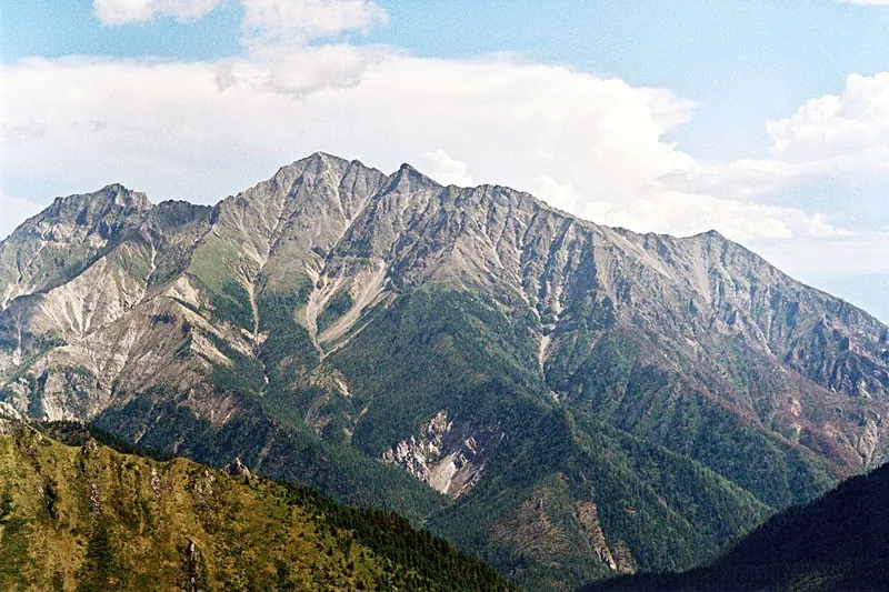
This 140.48 km point-to-point walking route passes through terrain where mapped viewpoints occur along the way. Strong mountain relief: 9036 m of total ascent over 140.48 km. Allow at least 9 days and verify overnight and exit options independently.

140.5 km 128 +9036 m Hard
Road to Chertolen-Gorkhon: Mountain Route
✓ TrailTrack

Road to Chertolen-Gorkhon: Mountain Route

Hiking · One-day

The recorded line is a 7.62 km point-to-point walking route, with mapped viewpoints occur along the way. Strong mountain relief: 918 m of total ascent over 7.62 km. Estimated moving time is about 3.8 hours; add time for pauses and navigation.

7.6 km 128 +918 m Hard
Sukhanov Paths: Lake Sachki and the Maly Aktru Glacier Approach
✓ TrailTrack

Sukhanov Paths: Lake Sachki and the Maly Aktru Glacier Approach

Altai · Hiking · One-day

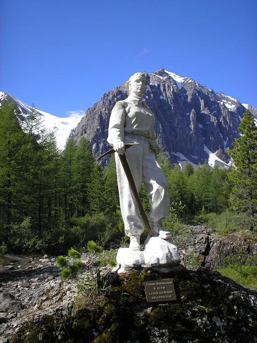
Explore Lake Sachki, the Galina Afanasyeva Memorial and the lower approach to Maly Aktru Glacier. The outing joins the camp’s human history with the starker setting of the moraine and glacial stream.

4.7 km 128 +388 m Easy
Around Brusnichnaya Trail
✓ TrailTrack

Around Brusnichnaya Trail

Hiking · One-day

The recorded line is a 16.11 km circular walking route, with mapped viewpoints occur along the way. Noticeable climbing: 414 m of total ascent over 16.11 km. Surface: natural ground. Estimated moving time is about 5.4 hours; add time for pauses and navigation.

16.1 km 128 +414 m Moderate
Around Trail Karst
✓ TrailTrack

Around Trail Karst

Hiking · One-day

Treat this 8.64 km circular walking route as a complete outing, paying attention to the terrain and changing surface underfoot. Strong mountain relief: 360 m of total ascent over 8.64 km. Estimated moving time is about 3.1 hours; add time for pauses and navigation.

8.6 km 128 +360 m Easy
Nature Trail "Kniga Prirody"
✓ TrailTrack

Nature Trail "Kniga Prirody"

Hiking · One-day

The interest of this 1 km point-to-point walking route lies in travelling the distance itself: its gradients, surface and rhythm. Noticeable climbing: 36 m of total ascent over 1 km. Surface: natural ground. Estimated moving time is about 0.5 hours; add time for pauses and navigation.

1.0 km 128 +36 m Easy
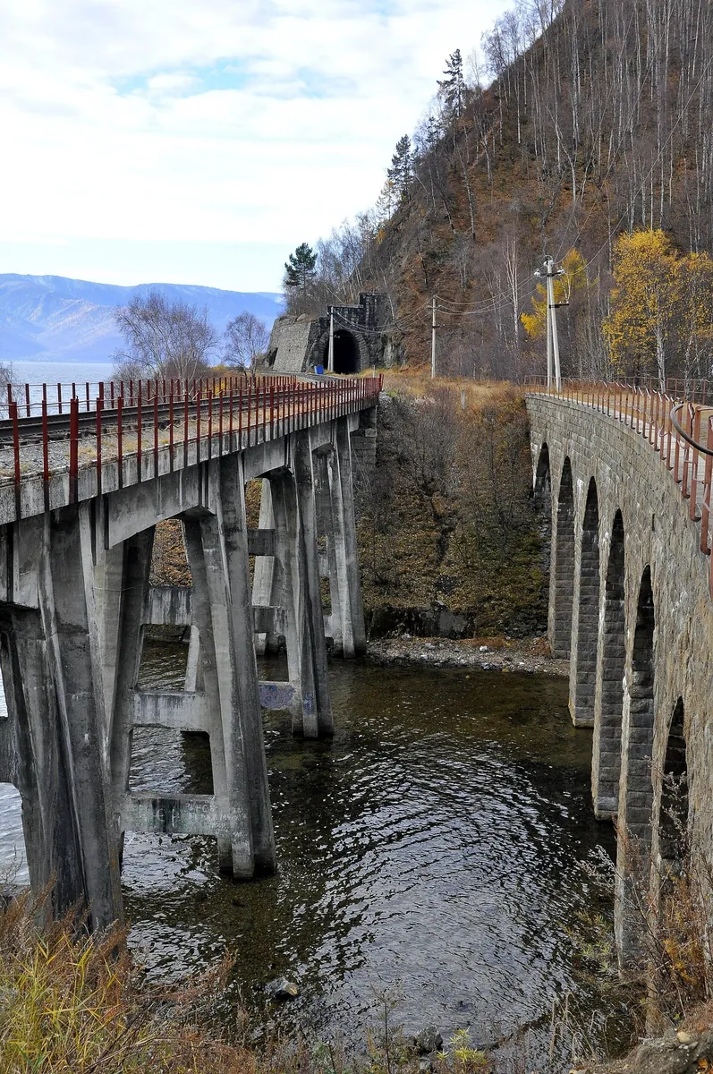
Parus Rock Viewpoint: Circular Route on the Circum-Baikal Railway
✓ TrailTrack

Parus Rock Viewpoint: Circular Route on the Circum-Baikal Railway

Hiking · One-day

This 6.19 km circular walking route passes through terrain where shore or waterside sections are recorded on the route. Strong mountain relief: 727 m of total ascent over 6.19 km. Surface: improved surface. Estimated moving time is about 3.0 hours; add time for pauses and navigation.

6.2 km 128 +727 m Hard
From Oktyabrsky through Lesnaya Opushka to Makeyevka Pond
✓ TrailTrack

From Oktyabrsky through Lesnaya Opushka to Makeyevka Pond

Moscow region · Hiking · One-day

Walk from Oktyabrsky through Lesnaya Opushka, pause at Makeyevka Pond and discover the transition from the improved park to neighbouring Tomilinsky Forest Park paths.

3.0 km 128 +21 m Easy
The Trud Ski Circuit beside Kavezino
✓ TrailTrack

The Trud Ski Circuit beside Kavezino

Moscow region · Skiing · One-day

A local woodland circuit allows a focused ski outing with a return to the same place, without arranging collection from another settlement.

4.4 km 128 +45 m Easy
Malino to Anikeevka: Separate Ski Sections by the Goretovka and Nakhabinka
✓ TrailTrack

Malino to Anikeevka: Separate Ski Sections by the Goretovka and Nakhabinka

Moscow region · Skiing · One-day

Explore winter woodland in the Goretovka and Nakhabinka valleys and discover a direction used by generations of Moscow-region skiers. A separately checked section allows time for river relief and the change between clearings and trees. The outing requires independent preparation and recent access information; the historic name does not guarantee an operating through-route.

17.3 km 128 +146 m Hard
Semkhoz to Kalistovo: a ski journey through the Vorya with a Khlyby-side return
✓ TrailTrack

Semkhoz to Kalistovo: a ski journey through the Vorya with a Khlyby-side return

Moscow region · Skiing · One-day

Follow the northern Semkhoz section, meet the Vorya along the western continuation and add a Khlyby-side out-and-back before the southern arc to Kalistovo. This version shows how a substantial ski day links different sides of the area between two halts on the Yaroslavsky direction.

51.0 km 128 +183 m Hard
Kaspersky Race: Forest Stage One
✓ TrailTrack

Kaspersky Race: Forest Stage One

Hiking · One-day

The recorded line is a 19.63 km circular walking route, with woodland is one of the route's main features. Gentle terrain: 156 m of total ascent over 19.63 km. Surface: natural ground plus compacted ground. Estimated moving time is about 6.0 hours; add time for pauses and navigation.

19.6 km 127 +156 m Moderate
From Pass Solnechnogo to Tsentra Arshana through Doline Bugataya
✓ TrailTrack

From Pass Solnechnogo to Tsentra Arshana through Doline Bugataya

Hiking · One-day

This 16.07 km point-to-point walking route passes through terrain where mapped viewpoints occur along the way. Noticeable climbing: 497 m of total ascent over 16.07 km. Estimated moving time is about 5.5 hours; add time for pauses and navigation.

16.1 km 127 +497 m Hard
Trail Ski
✓ TrailTrack

Trail Ski

Hiking · One-day

The interest of this 1.33 km point-to-point walking route lies in travelling the distance itself: its gradients, surface and rhythm. Strong mountain relief: 167 m of total ascent over 1.33 km. Surface: natural ground plus mud and grass. Estimated moving time is about 0.8 hours; add time for pauses and navigation.

1.3 km 127 +167 m Easy
Krasnoarmeysk to Fryazino-Tovarnaya: a running approach to Lake Kovyazskoye
✓ TrailTrack

Krasnoarmeysk to Fryazino-Tovarnaya: a running approach to Lake Kovyazskoye

Moscow region · Run · One-day

Connect Krasnoarmeysk and the Fryazino side through a woodland running journey with a separate pause beside the northern side of Lake Kovyazskoye. The eastern arc, lake approach with a return and later southern continuation create distinct parts of one full day.

31.3 km 127 +404 m Hard
Kaspersky Race: Forest Trail
✓ TrailTrack

Kaspersky Race: Forest Trail

Hiking · One-day

This 6.54 km circular walking route passes through terrain where woodland is one of the route's main features. Rolling terrain: 66 m of total ascent over 6.54 km. Surface: natural ground. Estimated moving time is about 2.0 hours; add time for pauses and navigation.

6.5 km 126 +66 m Easy
At Arshan through Yuzhnomu Grebnyu
✓ TrailTrack

At Arshan through Yuzhnomu Grebnyu

Hiking · One-day

This 7.82 km point-to-point walking route passes through terrain where mapped viewpoints occur along the way. Strong mountain relief: 1753 m of total ascent over 7.82 km. Estimated moving time is about 5.2 hours; add time for pauses and navigation.

7.8 km 126 +1753 m Hard
Urik below Khara-Zhalga: Shore Portages to the Bolshaya Belaya
✓ TrailTrack

Urik below Khara-Zhalga: Shore Portages to the Bolshaya Belaya

Boat · Multi-day

Combine the shore bypass beside Ambartagol canyon, a shore view of Urik Waterfall and the mouths of several distinct tributaries. Tri Bandita, Chertiki, Devil Gates rapid and Krokodily lend the river its own names. Reaching the Bolshaya Belaya ends the story with a change of river rather than a return to the departure shore.

164.4 km 126 +431 m Hard
Priokskie Dyuny (Akri: Turovo)
✓ TrailTrack

Priokskie Dyuny (Akri: Turovo)

Moscow region · Hiking · One-day

The mapped line covers a 26.12 km point-to-point walking route; terrain and surface are the main verified planning details available. Rolling terrain: 232 m of total ascent over 26.12 km. Surface: asphalt. Estimated moving time is about 8.1 hours; add time for pauses and navigation.

26.1 km 126 +232 m Hard
Sokolka near Istra: Ski Loops and Woodland Junctions
✓ TrailTrack

Sokolka near Istra: Ski Loops and Woodland Junctions

Moscow region · Skiing · One-day

Explore wooded Sokolka on skis and discover undulating outdoor terrain close to Istra. The branching paths help you learn the different sides of the woods and revisit a favourite loop. It suits an unhurried training outing with an independently chosen, available continuation.

5.5 km 126 +60 m Easy
Back Page 27 of 79 Next