TrailTrack routes

Маршруты с подготовленным описанием, сложностью, покрытием и планированием визита.

Found 1895 routes
Choose a route from the list or view routes on the map.
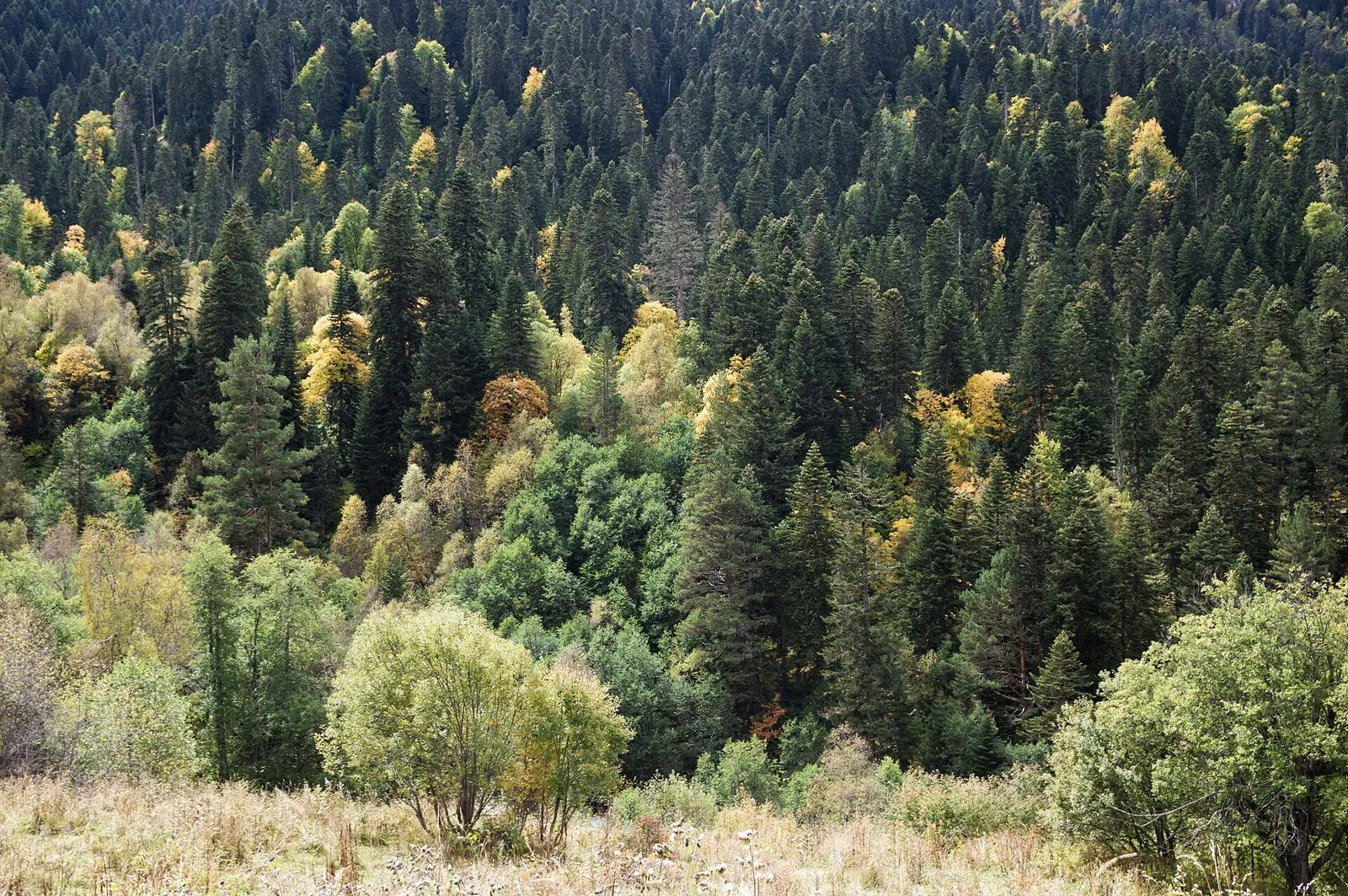
Karcha-Tyobe from Arkhyz: Woodland Climb to the Rock and Tower Ruins
✓ TrailTrack

Karcha-Tyobe from Arkhyz: Woodland Climb to the Rock and Tower Ruins

Hiking · One-day

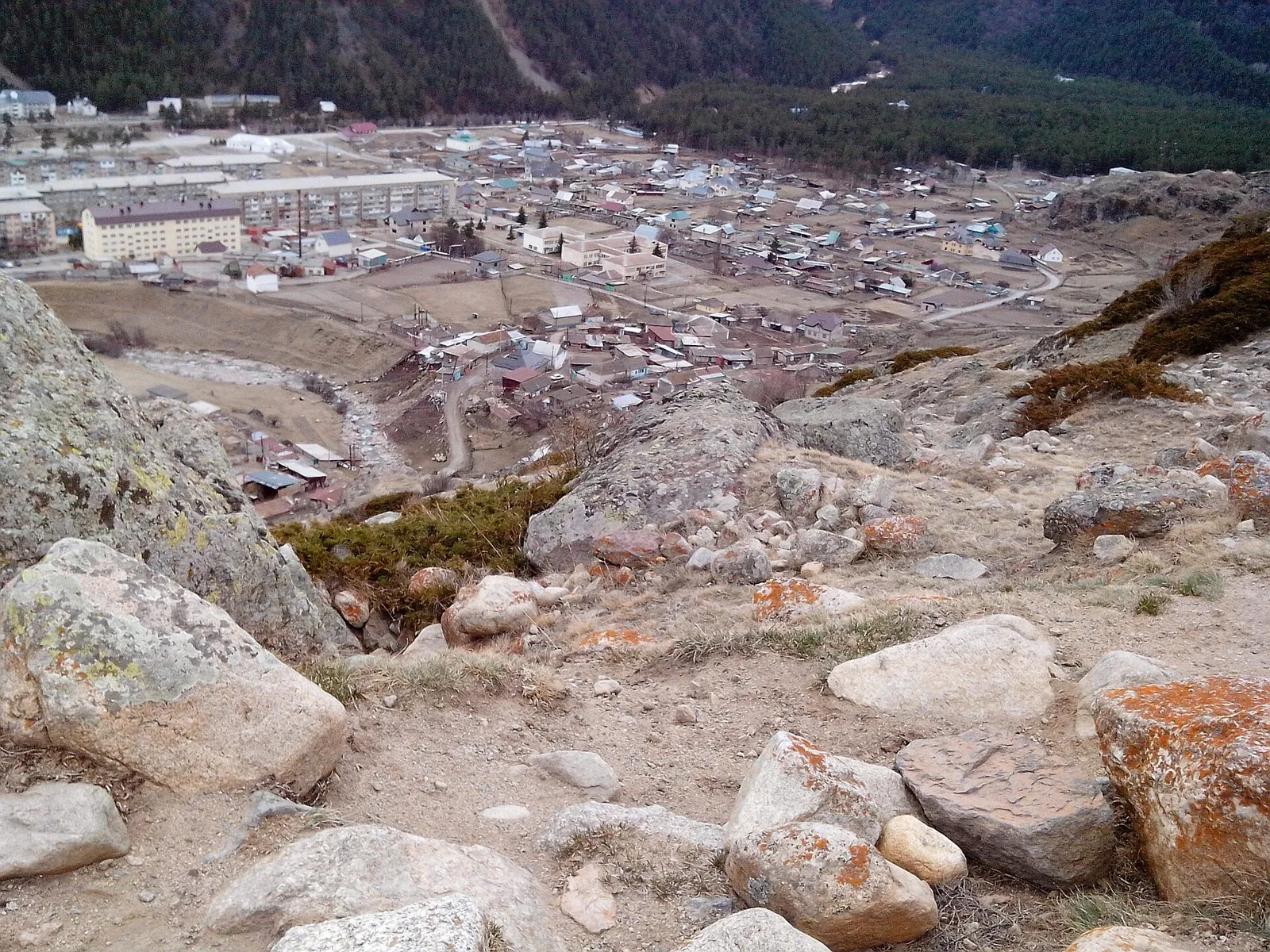
Two specific places give the outing its purpose: the view from Karcha-Tyobe and the tower ruins near the upper ending. Woodland conceals the scale of the valley until the open rock is reached. It is a nearby introduction to Arkhyz for visitors who want a clear destination before returning to the village.

1.0 km 99 +0 m Easy
End-of-Season Ride to the Springs: On country roads
✓ TrailTrack

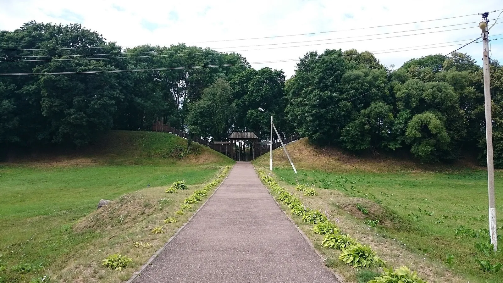
End-of-Season Ride to the Springs: On country roads

КП1. Помнік Ахвярам Гэбісцкага Скоцтва 30-х гг. · Bicycle · Multi-day

This 403.55 km point-to-point cycling route passes through terrain where shore or waterside sections are recorded on the route. Gentle terrain: 86 m of total ascent over 403.55 km. Surface: asphalt. Allow at least 6 days and verify overnight and exit options independently.

403.6 km 99 +86 m Hard
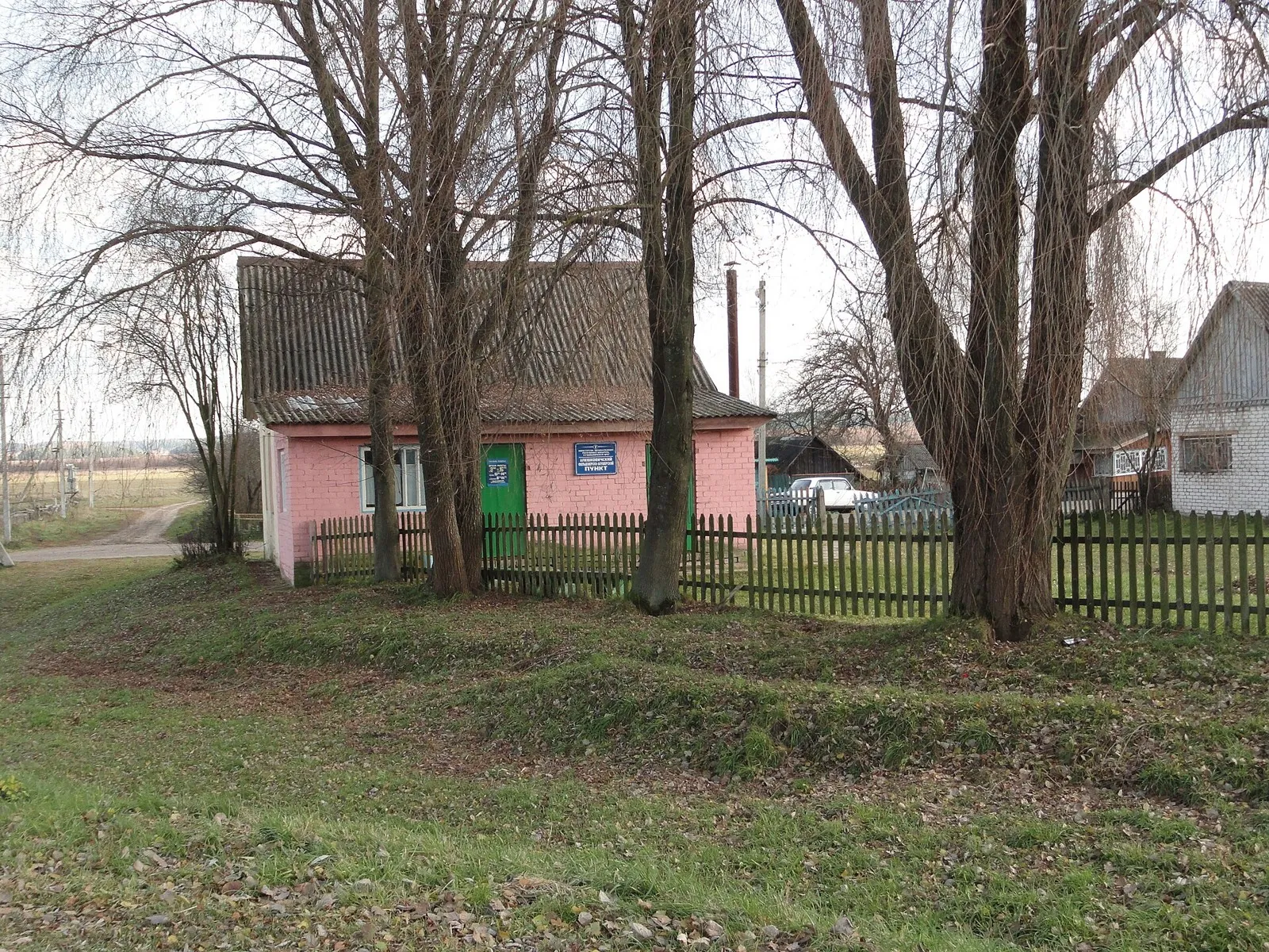
Borisov Loop: Short route
✓ TrailTrack

Borisov Loop: Short route

K · Bicycle · One-day

Woodland is one of the route's main features along this 7.72 km point-to-point cycling route. Gentle terrain: 18 m of total ascent over 7.72 km. Surface: asphalt. Estimated moving time is about 0.8 hours; add time for pauses and navigation.

7.7 km 99 +18 m Easy
Kaspersky Race: Cycling Stage One: via Ivenets
✓ TrailTrack

Kaspersky Race: Cycling Stage One: via Ivenets

Bicycle · One-day

Treat this 64.72 km circular cycling route as a complete outing, paying attention to the terrain and changing surface underfoot. Gentle terrain: 186 m of total ascent over 64.72 km. Estimated moving time is about 6.1 hours; add time for pauses and navigation.

64.7 km 99 +186 m Hard
Kupala Cycling Circuit
✓ TrailTrack

Kupala Cycling Circuit

FINISH · Bicycle · One-day

This 35.14 km circular cycling route is shaped by its terrain, surface and pace rather than a single landmark. Rolling terrain: 542 m of total ascent over 35.14 km. Estimated moving time is about 3.8 hours; add time for pauses and navigation.

35.1 km 99 +542 m Hard
A Window into Nature
✓ TrailTrack

A Window into Nature

Hiking · One-day

The recorded line is a 1.18 km point-to-point walking route, with woodland is one of the route's main features. Gentle terrain: 5 m of total ascent over 1.18 km. Surface: natural ground plus compacted ground. Estimated moving time is about 0.5 hours; add time for pauses and navigation.

1.2 km 99 +5 m Easy
Paryzh to Brest and back through western Belarusian settlements
✓ TrailTrack

Paryzh to Brest and back through western Belarusian settlements

Bicycle · Multi-day

Connect Belarusian Paryzh with western settlements and Brest, then pause at a place of remembrance in Maladzyechna on the return. Paryzh’s tower and Halshany’s church give the large journey specific architectural references.

1200.4 km 99 +536 m Hard
Forest Secrets: the Hermit Oak, Tatarskoye Bagno and the old railway
✓ TrailTrack

Forest Secrets: the Hermit Oak, Tatarskoye Bagno and the old railway

Forest Secrets: the Hermit Oak · Bicycle · One-day

Choose this ride to explore the forest as a landscape with a human history. Old trees, a wetland locality and a former timber railway provide distinct reasons to pause. Cycling connects the stops while leaving time for a closer look.

16.2 km 99 +53 m Moderate
Treki obkhoda dvukh kanonov: Walking Route
✓ TrailTrack

Treki obkhoda dvukh kanonov: Walking Route

Hiking · One-day

The recorded line is a 1.37 km point-to-point walking route, with shore or waterside sections are recorded on the route. Rolling terrain: 16 m of total ascent over 1.37 km. Estimated moving time is about 0.6 hours; add time for pauses and navigation.

1.4 km 99 +16 m Easy
Polushkino to Chastsovskaya: The Forest Run to Sharapovo’s Setun
✓ TrailTrack

Polushkino to Chastsovskaya: The Forest Run to Sharapovo’s Setun

Moscow region · Run · One-day

Spend a day on the woodland side of Sharapovo and discover its local Setun between two railway points. This option combines a running session with a river pause, without the long extension through Karinskoye. Choose it when forest junctions and a small valley appeal more than the road option towards Teatralnaya.

24.6 km 99 +409 m Hard
Polushkino to Teatralnaya: The Shorter Road Run via Vasilyevskoye and Mars
✓ TrailTrack

Polushkino to Teatralnaya: The Shorter Road Run via Vasilyevskoye and Mars

Moscow region · Run · One-day

Run between Polushkino and Teatralnaya through historic Vasilyevskoye, seeing the Moscow River from two different crossings. The suspension bridge and Resurrection Church provide recognisable pauses along the road outing. Choose this shortened option to explore riverside villages without the separate longer loop to Koryazhnik Lake.

22.4 km 99 +426 m Hard
Southern Vottovaara: ascending past Guardian Stone to the rocky Amphitheatre
✓ TrailTrack

Southern Vottovaara: ascending past Guardian Stone to the rocky Amphitheatre

Hiking · One-day

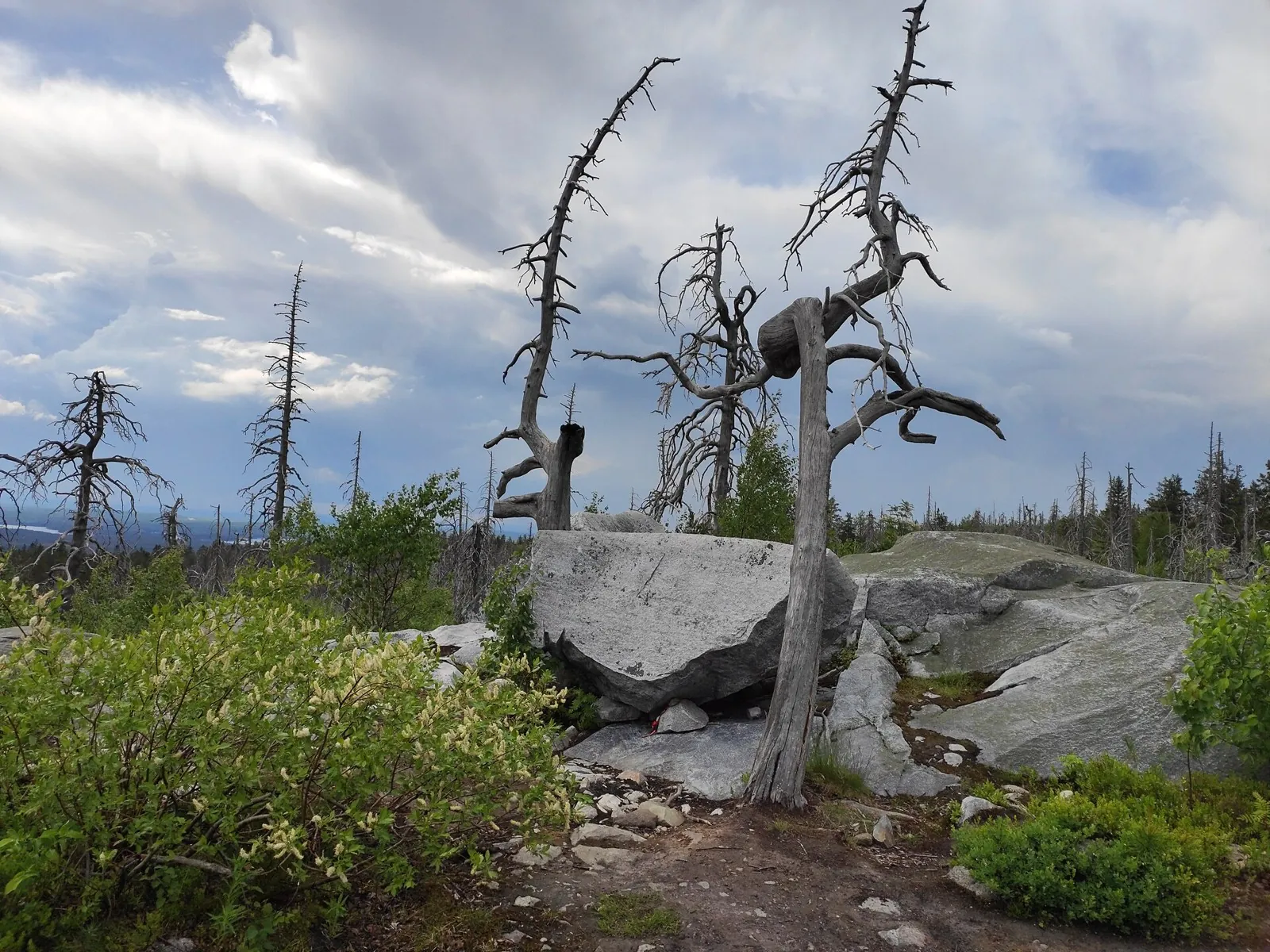
Discover Vottovaara’s southern ascent and central stone landmarks without the extended northern circuit. Woodland gradually reveals boulders, then the Amphitheatre’s rocky setting.

3.8 km 98 +0 m Moderate
Elbrus World Race: the Long Azau Ring via Khotiutau and Chatkara
✓ TrailTrack

Elbrus World Race: the Long Azau Ring via Khotiutau and Chatkara

Run · Multi-day

The high crossings reveal several sides of Elbrus within one extensive circuit. Valleys and saddles define the sequence from Khotiutau to the eastern Chatkara crossings, ending again on the southern side.

135.6 km 98 +7417 m Hard
Turya Road: Nakhazo to Green Wedge Pass
✓ TrailTrack

Turya Road: Nakhazo to Green Wedge Pass

Перевал Рябчикова · Hiking · One-day

After reopening, Turya Road offers a view of Aibga from the mountain camp side and a definite goal at Green Wedge Pass. The gradual change between the ridge’s two sides is the attraction: clear weather reveals the surrounding valleys in stages, and the pass brings them into one scene.

5.1 km 98 +0 m Easy
Nakhashbita via Galdoridon Waterfall and Chifandzar Wetland
✓ TrailTrack

Nakhashbita via Galdoridon Waterfall and Chifandzar Wetland

Caucasus · Hiking · One-day

Galdoridon’s cascades and Chifandzar’s mountain peat wetland bring two distinct water landscapes into one outing. Pastoral stonework adds the human history of this glacial valley.

21.6 km 98 +985 m Hard
Roads of Belarus: Part one
✓ TrailTrack

Roads of Belarus: Part one

Bicycle · Multi-day

The available data defines a 534.25 km circular cycling route; check the mapped line closely before setting out. Gentle terrain: 108 m of total ascent over 534.25 km. Surface: asphalt. Allow at least 7 days and verify overnight and exit options independently.

534.3 km 98 +108 m Hard
Slabodka esker: two walking sections from the middle and village
✓ TrailTrack

Slabodka esker: two walking sections from the middle and village

Hiking · One-day

Explore the western and eastern sides of one glacial landform. With both approaches agreed in advance, this version allows attention to the ridge and its lake views.

3.8 km 98 +19 m Easy
At Caves from Khakus: To Caves and Stone Chambers
✓ TrailTrack

At Caves from Khakus: To Caves and Stone Chambers

Hiking · One-day

This 8.33 km point-to-point walking route passes through terrain where woodland is one of the route's main features. Noticeable climbing: 239 m of total ascent over 8.33 km. Estimated moving time is about 2.8 hours; add time for pauses and navigation.

8.3 km 98 +239 m Easy
From Orlyonka to Kurmy and to Irkutsku
✓ TrailTrack

From Orlyonka to Kurmy and to Irkutsku

Skiing · Multi-day

Treat this 57.84 km point-to-point cross-country skiing route as a complete outing, paying attention to the terrain and changing surface underfoot. Gentle terrain: 332 m of total ascent over 57.84 km. Allow at least 2 days and verify overnight and exit options independently.

57.8 km 98 +332 m Hard
North of Snegiri: a Short Eastbound Ski Section through the Woods
✓ TrailTrack

North of Snegiri: a Short Eastbound Ski Section through the Woods

Moscow region · Skiing · One-day

Add a quiet woodland section to an outing you already know north of Snegiri. The straight opening makes its direction easy to remember, while the brief eastern end invites closer attention to neighbouring junctions. Choose it with a clear continuation and local conditions confirmed.

0.7 km 98 +4 m Easy
Morozki to Zavety Ilyicha: Tishkovo, the Kakotka and Uchinskoye’s protected shore
✓ TrailTrack

Morozki to Zavety Ilyicha: Tishkovo, the Kakotka and Uchinskoye’s protected shore

Moscow region · Run · One-day

Connect Morozki with Zavety Ilyicha through the canal bridge, Tishkovo’s woodland side and the specific Kakotka crossing. The running direction is interesting for its changing large and small water settings; include the Uchinskoye section only with confirmed access, without swimming.

41.5 km 98 +492 m Hard
From the Shore by White Bridges to Sortavala: Skiing through the Ladoga Skerries
✓ TrailTrack

From the Shore by White Bridges to Sortavala: Skiing through the Ladoga Skerries

Остановка на ~18 мин · Skiing · One-day

Explore the Ladoga Skerries from an organised winter ski passage and finish beside Sortavala’s town pier. The actual Ruotsinsaari islet and changing shoreline provide concrete impressions when ice conditions are confirmed.

60.6 km 97 +43 m Hard
Orlyonok Secret Lake: The Woodland Climb from the Taulu Side of the Sofia
✓ TrailTrack

Orlyonok Secret Lake: The Woodland Climb from the Taulu Side of the Sofia

Hiking · One-day

Walk towards a specific lake without aiming for a high pass. Secret Lake reveals its shore after the climb rather than remaining a distant landmark throughout. The outing suits visitors who want a wooded valley walk and a quiet waterside pause before descending.

3.6 km 97 +0 m Easy
Across the Wide World: Northern route
✓ TrailTrack

Across the Wide World: Northern route

КП-0 СТАРТ · Bicycle · Multi-day

The recorded line is a 205.32 km circular cycling route, with shore or waterside sections are recorded on the route. Gentle terrain: 199 m of total ascent over 205.32 km. Surface: asphalt. Allow at least 3 days and verify overnight and exit options independently.

205.3 km 97 +199 m Hard
Back Page 41 of 79 Next