TrailTrack routes

Маршруты с подготовленным описанием, сложностью, покрытием и планированием визита.

Found 1895 routes
Choose a route from the list or view routes on the map.
Spring Ride: Link to Sloboda Station
✓ TrailTrack

Spring Ride: Link to Sloboda Station

Bicycle · One-day

The recorded line is a 1.36 km point-to-point cycling route, with woodland is one of the route's main features. Gentle terrain: 6 m of total ascent over 1.36 km. Surface: asphalt. Estimated moving time is about 0.3 hours; add time for pauses and navigation.

1.4 km 92 +6 m Easy
Interfluve Gravel Route: Short route
✓ TrailTrack

Interfluve Gravel Route: Short route

Bicycle · One-day

The recorded line is a 2.02 km point-to-point cycling route, with shore or waterside sections are recorded on the route. Gentle terrain: 1 m of total ascent over 2.02 km. Surface: natural ground plus asphalt. Estimated moving time is about 0.4 hours; add time for pauses and navigation.

2.0 km 92 +1 m Easy
Cycleway by Tsnyanka
✓ TrailTrack

Cycleway by Tsnyanka

Bicycle · One-day

This is a 2.37 km point-to-point cycling route with a complete recorded line to follow from start to finish. Gentle terrain: 16 m of total ascent over 2.37 km. Surface: asphalt. Estimated moving time is about 0.4 hours; add time for pauses and navigation.

2.4 km 92 +16 m Easy
Lida: Heritage Route on Old Roads: via Ivye
✓ TrailTrack

Lida: Heritage Route on Old Roads: via Ivye

Старт/Финиш · Hiking · Multi-day

The recorded line is a 90.56 km circular walking route, with the route includes sites with cultural context. Gentle terrain: 70 m of total ascent over 90.56 km. Surface: asphalt plus improved surface. Allow at least 4 days and verify overnight and exit options independently.

90.6 km 92 +70 m Hard
Brest: Quiet Forest Trail
✓ TrailTrack

Brest: Quiet Forest Trail

Hiking · One-day

The recorded line is a 1.28 km point-to-point walking route, with woodland is one of the route's main features. Gentle terrain: 10 m of total ascent over 1.28 km. Estimated moving time is about 0.6 hours; add time for pauses and navigation.

1.3 km 92 +10 m Easy
Mountain Bike from Kislovodsk to the Bermamyt Rock Pillars
✓ TrailTrack

Mountain Bike from Kislovodsk to the Bermamyt Rock Pillars

Bicycle · One-day

The ride links a city railway station with an open plateau and the particular Monks rock formation. Clear weather adds an Elbrus panorama; in cloud, Bermamyt’s own stone shapes remain the destination.

39.8 km 91 +0 m Hard
Khayking 7 vetrov
✓ TrailTrack

Khayking 7 vetrov

Hiking · One-day

Plan this 3.12 km point-to-point walking route from its verified distance, gradients and recorded surface rather than unconfirmed landmarks. Estimated moving time is about 1.0 hours; add time for pauses and navigation.

3.1 km 91 +0 m Easy
White Rocks: the Riverside and Woodland Return
✓ TrailTrack

White Rocks: the Riverside and Woodland Return

Hiking · One-day

White Rocks Canyon gives the woodland direction a specific natural destination: pale limestone beside the Greater Khosta. Viewing depends first on official permission and a verified safe approach.

3.8 km 91 +0 m Moderate
From Blue-Eyed Lake to Kardyvach: The Sineozerny Descent
✓ TrailTrack

From Blue-Eyed Lake to Kardyvach: The Sineozerny Descent

Hiking · One-day

Link Blue-Eyed Lake with Kardyvach in a clear sequence and finish the upper outing at the lower lake. Leave room to pause beside the water and notice the changing surroundings instead of hurrying straight back to camp. This version works as the return leg of a separately planned climb to Blue-Eyed Lake.

2.8 km 91 +0 m Easy
A short Tulskiy woodland passage: from the western edge towards the east
✓ TrailTrack

A short Tulskiy woodland passage: from the western edge towards the east

Hiking · One-day

This short Tulskiy woodland section suits a quiet fresh-air break between other village activities. Leave the streets briefly for tree shade, then return along the same path.

0.5 km 91 +0 m Easy
Rosa Khutor Lake Traverse: Upper Lake, Lower Lake and Woodland Streams
✓ TrailTrack

Rosa Khutor Lake Traverse: Upper Lake, Lower Lake and Woodland Streams

Rosa Khutor Lake Traverse: Upper Lake · Hiking · One-day

See two resort lakes and woodland streams while exploring another side of Rosa Khutor. The traverse divides attention between water, views and the workings of the mountain resort.

6.6 km 91 +0 m Easy
Issyk-Ata Kok-Moynok Lake Section with Separate River Approaches
✓ TrailTrack

Issyk-Ata Kok-Moynok Lake Section with Separate River Approaches

Hiking · One-day

Prepare a visit to small Kok-Moynok Lake in the Issyk-Ata mountains, with time for the upper basin and river approach. A guide’s real connection between the portions will make stamina and return arrangements clearer.

23.6 km 91 +1798 m Hard
Across the Watershed to Surok and the Son-Kul River
✓ TrailTrack

Across the Watershed to Surok and the Son-Kul River

Hiking · One-day

Connect the mountain approaches with Surok and the Son-Kul River. Discover the eastern side of the lake region through particular river valleys, then plan an onward journey separately.

24.7 km 91 +624 m Moderate
Ala-Kul from the East: Karakol via Altyn-Arashan
✓ TrailTrack

Ala-Kul from the East: Karakol via Altyn-Arashan

Hiking · Multi-day

Meet Ala-Kul from the pass side and walk from the hot-spring valley to its rocky shore. The eastern approach introduces Arashan, Keldike and Karakol Valley in sequence.

47.7 km 91 +2472 m Hard
Karakol High Country: A Circuit via Gastello
✓ TrailTrack

Karakol High Country: A Circuit via Gastello

Hiking · One-day

Encounter Gastello in its snow-and-rock setting. The high pass terrain is the focus; preparation and sound weather decisions shape the experience.

19.1 km 91 +1581 m Moderate
From Jeti-Oguz via Telety: Karakol Valley and Panoramny
✓ TrailTrack

From Jeti-Oguz via Telety: Karakol Valley and Panoramny

Hiking · Multi-day

Combine Telety with a distinct visit to Panoramny above Karakol Valley. Several mountain stages allow time to explore the upper valleys without promising a lake outside the chosen route.

63.6 km 91 +2511 m Hard
Bersu: a pass crossing towards the Tegermetch Valley
✓ TrailTrack

Bersu: a pass crossing towards the Tegermetch Valley

Hiking · One-day

For the Bersu saddle and the approach to the Tegermetch. The walk brings the northern Kichik-Alay spurs into focus through a clear sequence of pass, slopes and river valley.

11.9 km 91 +925 m Moderate
Gorelnik via Tuyuk-Su to Seasonal Black Waterfall
✓ TrailTrack

Gorelnik via Tuyuk-Su to Seasonal Black Waterfall

Hiking · One-day

Follow a distinct left-bank path from Gorelnik towards seasonal Black Waterfall through Tuyuk-Su’s grounds-side setting. The waterfall channel and exterior mountaineering centre distinguish this outing from an ordinary Shymbulak road walk.

4.8 km 91 +756 m Easy
Medeu Dam via Eagle’s Nest to Upper Gorelnik
✓ TrailTrack

Medeu Dam via Eagle’s Nest to Upper Gorelnik

Hiking · One-day

Follow the transition from Medeu Dam to upper Gorelnik and see the specific Eagle’s Nest outlook. The valley provides a sustained mountain climb through different settings, requiring strength in reserve for the return.

10.3 km 91 +1624 m Moderate
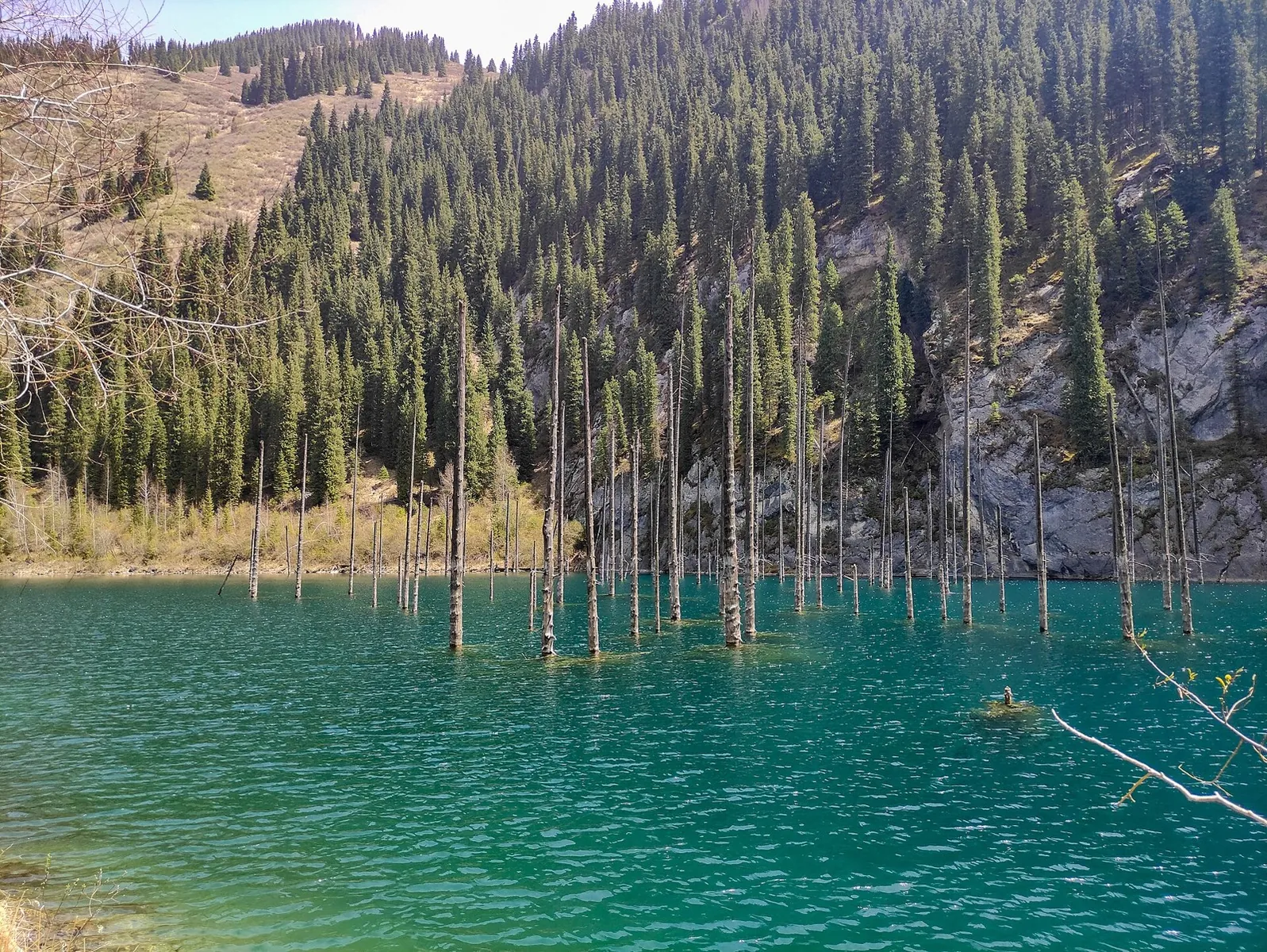
Alatau Amanaty: Lower Kolsay to Kaindy’s Drowned Spruces
✓ TrailTrack

Alatau Amanaty: Lower Kolsay to Kaindy’s Drowned Spruces

Hiking · One-day

Compare two distinct lake landscapes on foot: Lower Kolsay’s wooded shore and Kaindy’s flooded forest. Leave time to linger by the water as well as making the crossing.

18.1 km 91 +1495 m Moderate
Uzyn Kargaly Rock Carvings and Big Shymbulak Waterfall
✓ TrailTrack

Uzyn Kargaly Rock Carvings and Big Shymbulak Waterfall

Hiking · One-day

Combine path-side animal rock carvings with a waterfall hidden among cliffs. The gorge gradually changes from the lower approach into Big Shymbulak’s narrow, cool rock pocket.

7.1 km 91 +301 m Moderate
Talgar and Butakovsky Passes: A Composite Mountain Line
✓ TrailTrack

Talgar and Butakovsky Passes: A Composite Mountain Line

Hiking · One-day

Follow the actual Talgar, Small Talgar and Butakovsky pass connection through the specific Left Talgar Valley. This differs from the four-summit traverse and requires independent preparation of the complete access plan.

26.5 km 91 +2065 m Moderate
End-of-Season Ride to the Springs: On paved roads
✓ TrailTrack

End-of-Season Ride to the Springs: On paved roads

КП1. Помнік Ахвярам Гэбісцкага Скоцтва 30-х гг. · Bicycle · Multi-day

Shore or waterside sections are recorded on the route along this 400.23 km point-to-point cycling route. Gentle terrain: 83 m of total ascent over 400.23 km. Surface: asphalt. Allow at least 6 days and verify overnight and exit options independently.

400.2 km 91 +83 m Hard
Duleby Forest Cycling Loop
✓ TrailTrack

Duleby Forest Cycling Loop

Bicycle · One-day

This 69.41 km point-to-point cycling route passes through terrain where woodland is one of the route's main features. Gentle terrain: 99 m of total ascent over 69.41 km. Surface: natural ground plus compacted ground. Estimated moving time is about 6.4 hours; add time for pauses and navigation.

69.4 km 91 +99 m Hard
Back Page 46 of 79 Next